Hotchkiss is a statutory town in Delta County, Colorado, United States. The population was 875 at the 2020 census.
A post office called Hotchkiss has been in operation since 1882. The town is named after Enos T. Hotchkiss, a local pioneer.
| Name: | Hotchkiss town |
|---|---|
| LSAD Code: | 43 |
| LSAD Description: | town (suffix) |
| State: | Colorado |
| County: | Delta County |
| Elevation: | 5,331 ft (1,625 m) |
| Total Area: | 0.93 sq mi (2.40 km²) |
| Land Area: | 0.93 sq mi (2.40 km²) |
| Water Area: | 0.00 sq mi (0.00 km²) |
| Total Population: | 875 |
| Population Density: | 940/sq mi (360/km²) |
| ZIP code: | 81419 |
| Area code: | 970 |
| FIPS code: | 0837545 |
| GNISfeature ID: | 0186534 |
| Website: | townofhotchkiss.com |
Online Interactive Map
Click on ![]() to view map in "full screen" mode.
to view map in "full screen" mode.
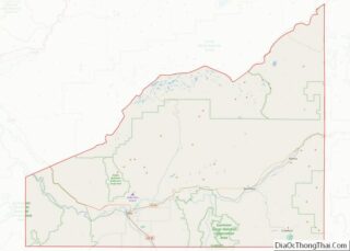
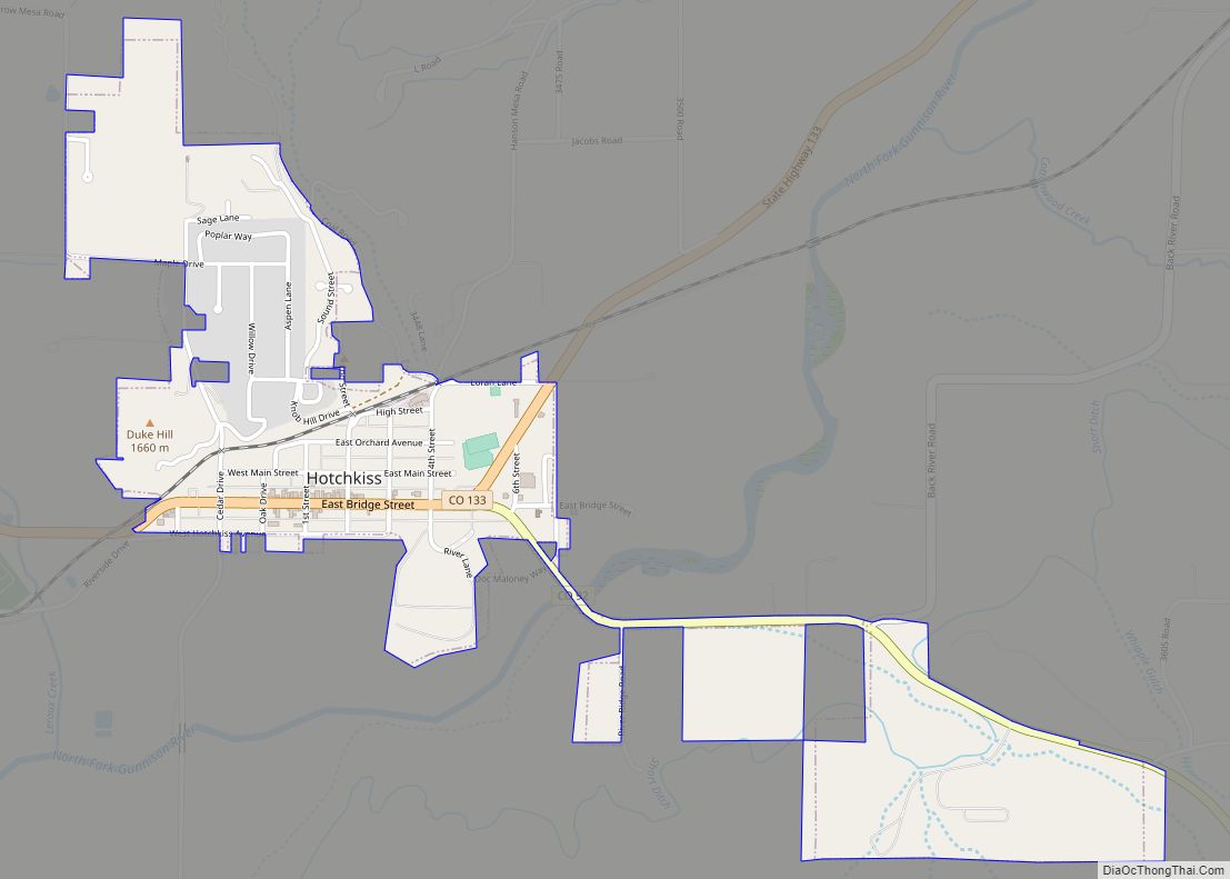
Hotchkiss location map. Where is Hotchkiss town?


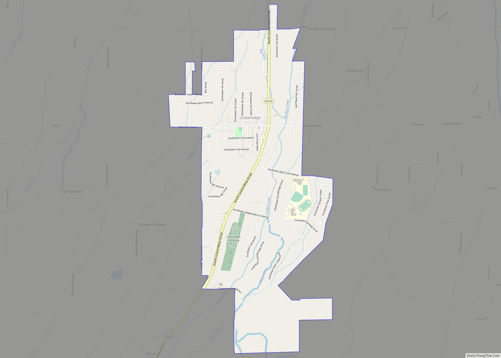
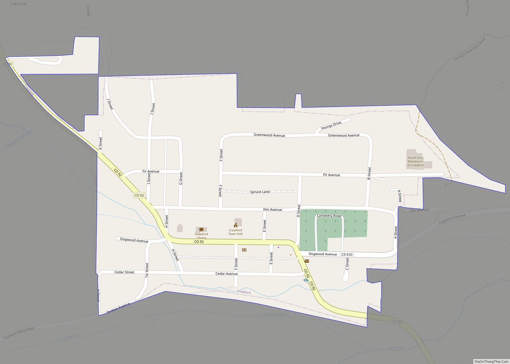
Hotchkiss Road Map
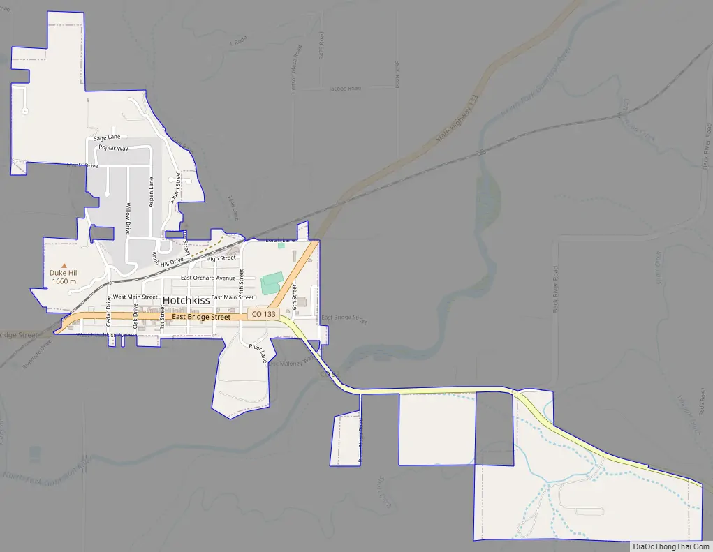
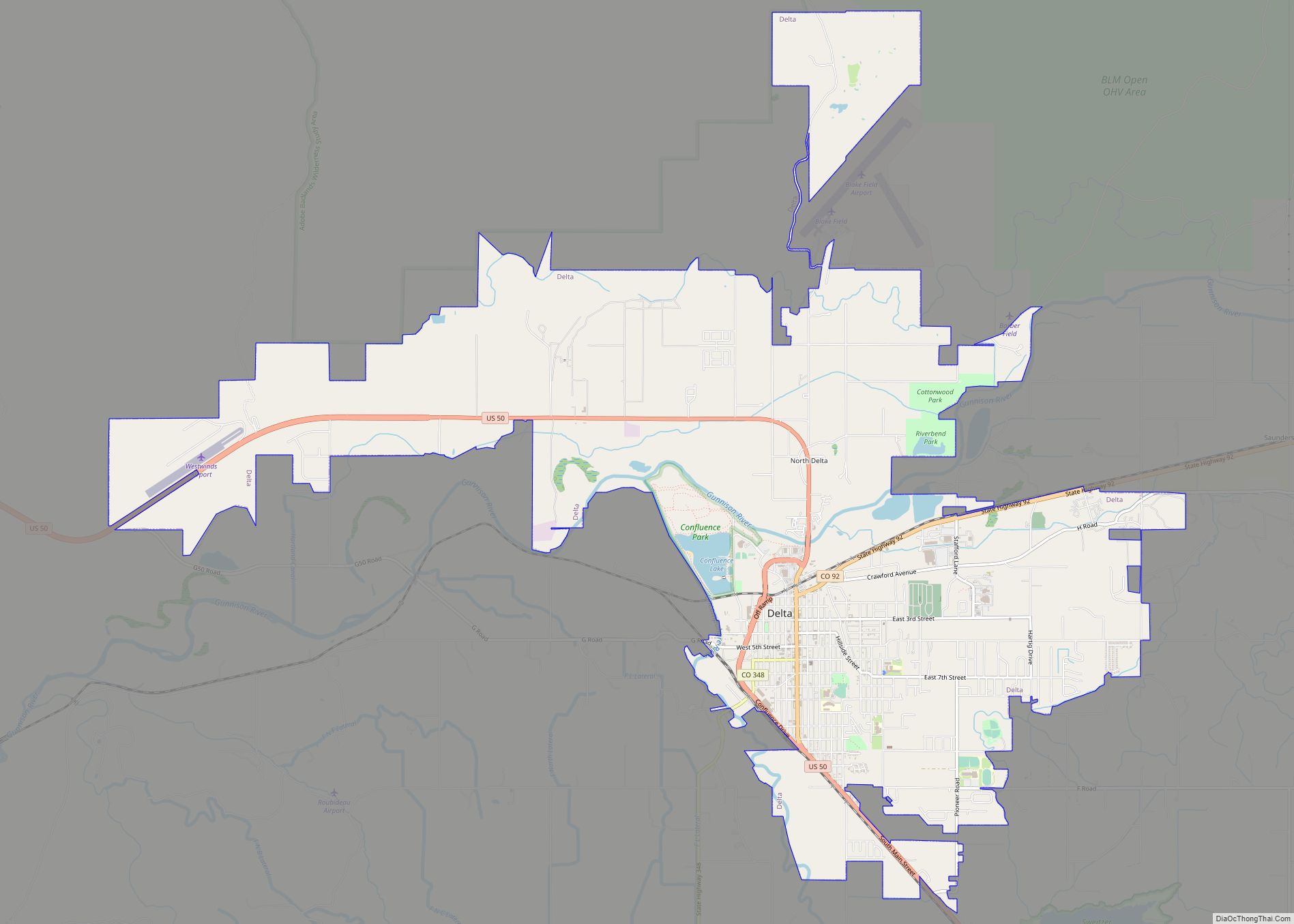
Hotchkiss city Satellite Map

Geography
Hotchkiss is located in eastern Delta County at 38°47′57″N 107°43′1″W / 38.79917°N 107.71694°W / 38.79917; -107.71694 (38.799275, -107.716976), on the north side of the North Fork Gunnison River.
Colorado State Highway 92 passes through the center of town as Bridge Street, leading west 20 miles (32 km) to Delta, the county seat, and southeast 52 miles (84 km) to U.S. Route 50 at Blue Mesa Reservoir. Colorado State Highway 133 starts at the east end of town and leads northeast 66 miles (106 km) over McClure Pass to Carbondale.
According to the United States Census Bureau, the town of Hotchkiss has a total area of 0.93 square miles (2.4 km), all of it land.
See also
Map of Colorado State and its subdivision:- Adams
- Alamosa
- Arapahoe
- Archuleta
- Baca
- Bent
- Boulder
- Broomfield
- Chaffee
- Cheyenne
- Clear Creek
- Conejos
- Costilla
- Crowley
- Custer
- Delta
- Denver
- Dolores
- Douglas
- Eagle
- El Paso
- Elbert
- Fremont
- Garfield
- Gilpin
- Grand
- Gunnison
- Hinsdale
- Huerfano
- Jackson
- Jefferson
- Kiowa
- Kit Carson
- La Plata
- Lake
- Larimer
- Las Animas
- Lincoln
- Logan
- Mesa
- Mineral
- Moffat
- Montezuma
- Montrose
- Morgan
- Otero
- Ouray
- Park
- Phillips
- Pitkin
- Prowers
- Pueblo
- Rio Blanco
- Rio Grande
- Routt
- Saguache
- San Juan
- San Miguel
- Sedgwick
- Summit
- Teller
- Washington
- Weld
- Yuma
- Alabama
- Alaska
- Arizona
- Arkansas
- California
- Colorado
- Connecticut
- Delaware
- District of Columbia
- Florida
- Georgia
- Hawaii
- Idaho
- Illinois
- Indiana
- Iowa
- Kansas
- Kentucky
- Louisiana
- Maine
- Maryland
- Massachusetts
- Michigan
- Minnesota
- Mississippi
- Missouri
- Montana
- Nebraska
- Nevada
- New Hampshire
- New Jersey
- New Mexico
- New York
- North Carolina
- North Dakota
- Ohio
- Oklahoma
- Oregon
- Pennsylvania
- Rhode Island
- South Carolina
- South Dakota
- Tennessee
- Texas
- Utah
- Vermont
- Virginia
- Washington
- West Virginia
- Wisconsin
- Wyoming