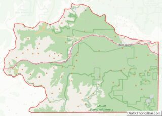
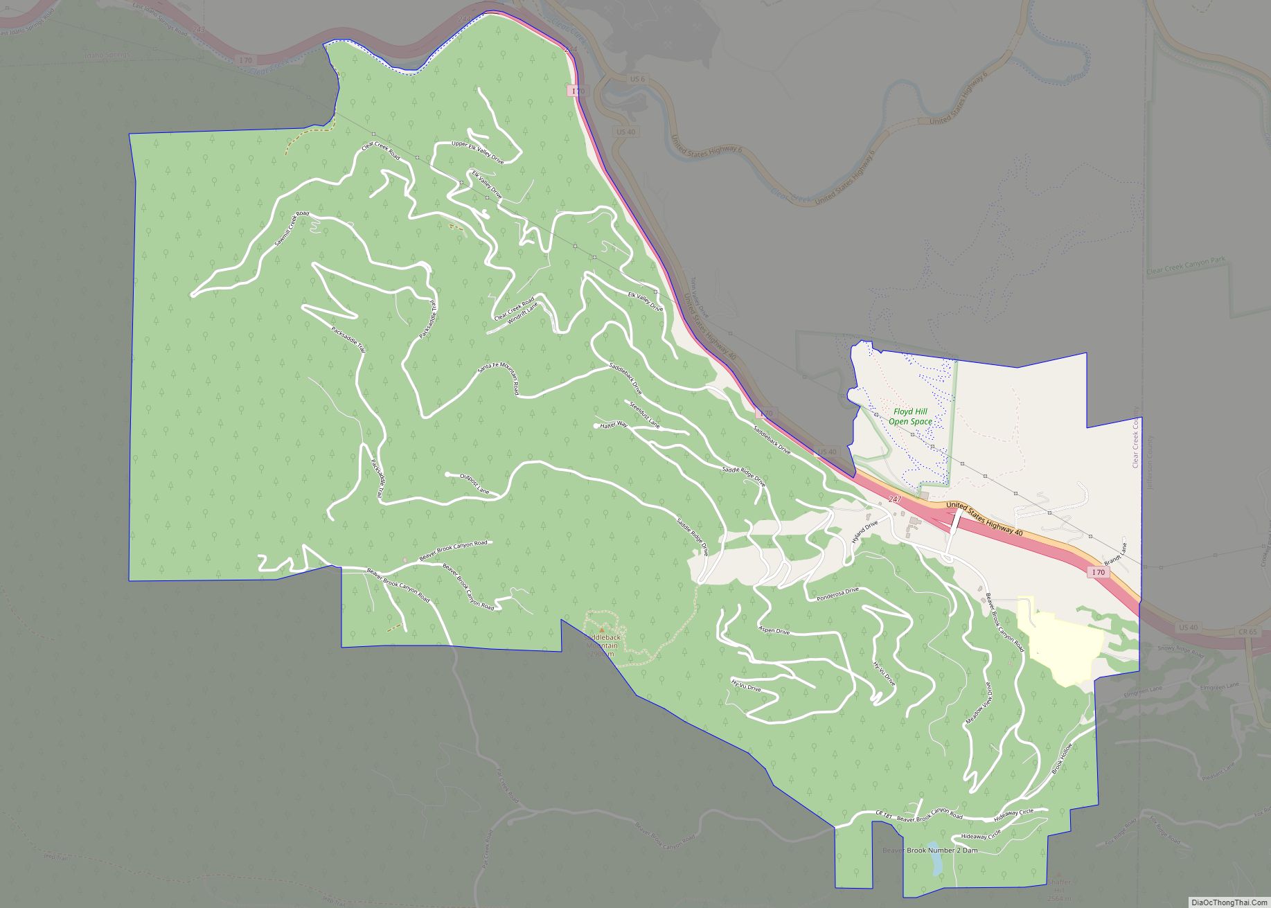
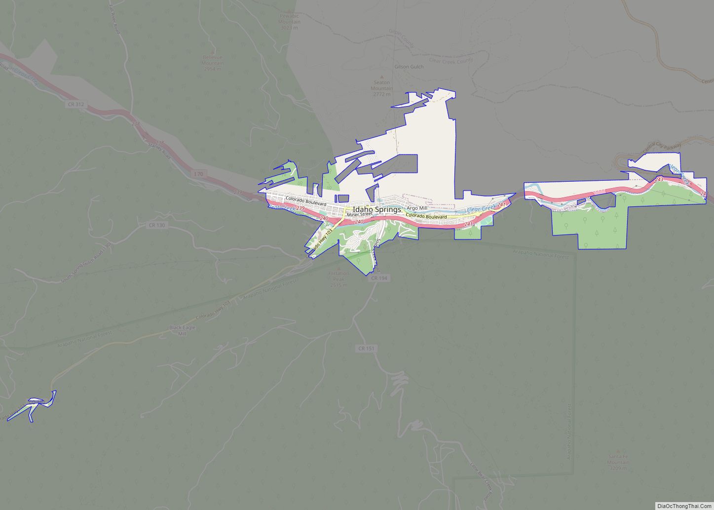
The City of Idaho Springs is the statutory city that is the most populous municipality in Clear Creek County, Colorado, United States. Idaho Springs is a part of the Denver–Aurora–Lakewood, CO Metropolitan Statistical Area. As of the 2020 census it had a population of 1,782. Idaho Springs is located in Clear Creek Canyon, in the mountains upstream from Golden, some 30 miles (50 km) west of Denver.
Founded 164 years ago in 1859 by prospectors during the early days of the Pike’s Peak Gold Rush, the town was at the center of the region’s mining district throughout the late nineteenth century. The Argo Tunnel drained and provided access to many lodes of ore between Idaho Springs and Central City. During the late twentieth century, the town evolved into a tourist center along U.S. Highway 6 and U.S. Highway 40, which ascend Clear Creek Canyon through the historic mining district.
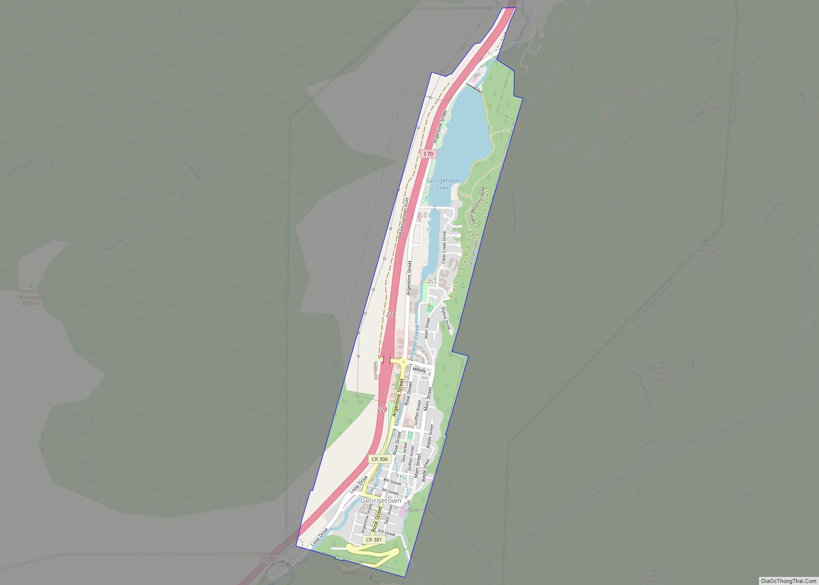
The town today is squeezed along the north side of Interstate 70, with a historical downtown in the central portion, a strip of tourist-related businesses on its eastern end, and mostly residences on its western end. It also serves as a bedroom community for workers at the Loveland Ski Area farther up the canyon. The town today is the largest community in Clear Creek County, but, for historical reasons, the county seat has remained at Georgetown.
| Name: | Idaho Springs city |
|---|---|
| LSAD Code: | 25 |
| LSAD Description: | city (suffix) |
| State: | Colorado |
| County: | Clear Creek County |
| Founded: | 1859 |
| Incorporated: | 1885-11-15 |
| Elevation: | 7,526 ft (2,294 m) |
| Total Area: | 2.28 sq mi (5.92 km²) |
| Land Area: | 2.25 sq mi (5.83 km²) |
| Water Area: | 0.03 sq mi (0.09 km²) |
| Total Population: | 1,782 |
| Population Density: | 780/sq mi (300/km²) |
| ZIP code: | 80452 |
| Area code: | 303 and 720 |
| FIPS code: | 0838370 |
| Website: | www.colorado.gov/idahosprings |
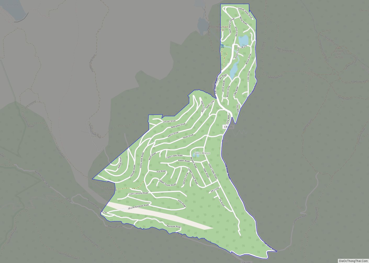
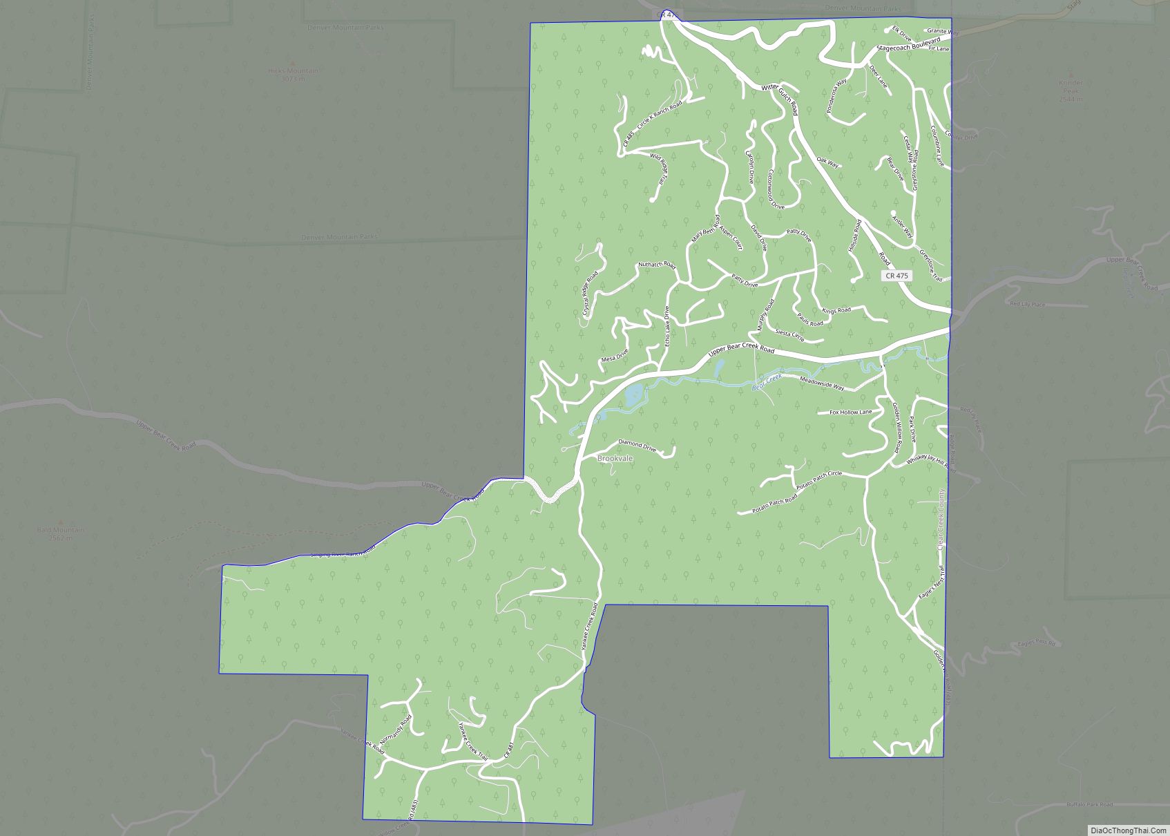
Online Interactive Map
Click on ![]() to view map in "full screen" mode.
to view map in "full screen" mode.
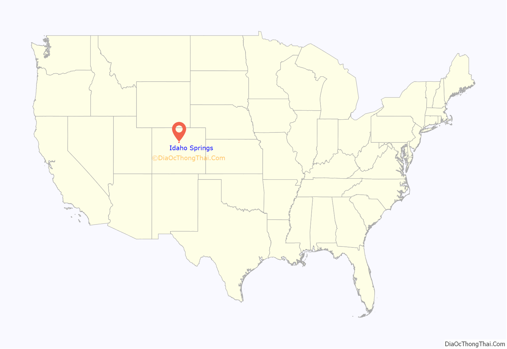
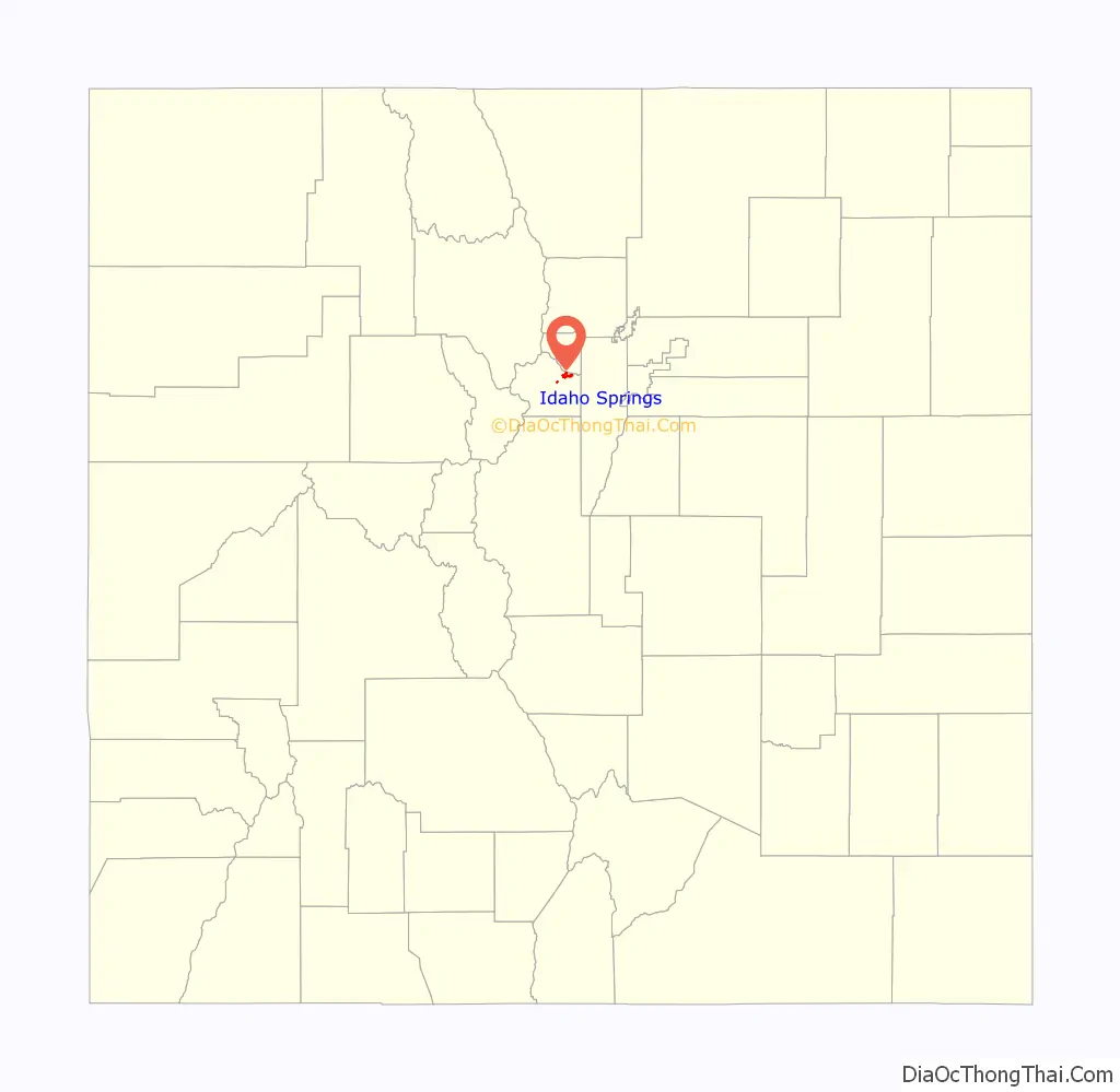
Idaho Springs location map. Where is Idaho Springs city?
History
On January 5, 1859, during the Colorado gold rush, prospector George A. Jackson discovered placer gold at the present site of Idaho Springs, where Chicago Creek empties into Clear Creek. It was the first substantial gold discovery in Colorado. Jackson, a Missouri native with experience in the California gold fields, was drawn to the area by clouds of steam rising from some nearby hot springs. Jackson kept his find secret for several months, but after he paid for some supplies with gold dust, others rushed to Jackson’s diggings. The location was originally known as “Jackson’s Diggings”. Once the location became a permanent settlement, it was variously called “Sacramento City”, “Idahoe”, “Idaho”, “Idaho City”, and finally “Idaho Springs”.
The first placer discoveries were soon followed by discoveries of gold veins in the rocks of the canyon walls on both sides of Clear Creek. Hard rock mining became the mainstay of the town long after the gold-bearing gravels were exhausted.
The Idaho Springs miners’ strike of 1903 demanding an eight-hour day erupted into violence in May 1903. This was a conflict was a part the much broader Colorado Labor Wars, where the Western Federation of Miners sought to pressure mining companies into improving conditions for miners.
The 1969 film Downhill Racer portrayed an alpine ski racer from Idaho Springs, played by Robert Redford; a brief scene was shot on location in Idaho Springs. Several scenes from the comedy film The Overbrook Brothers were filmed here in the spring of 2008.
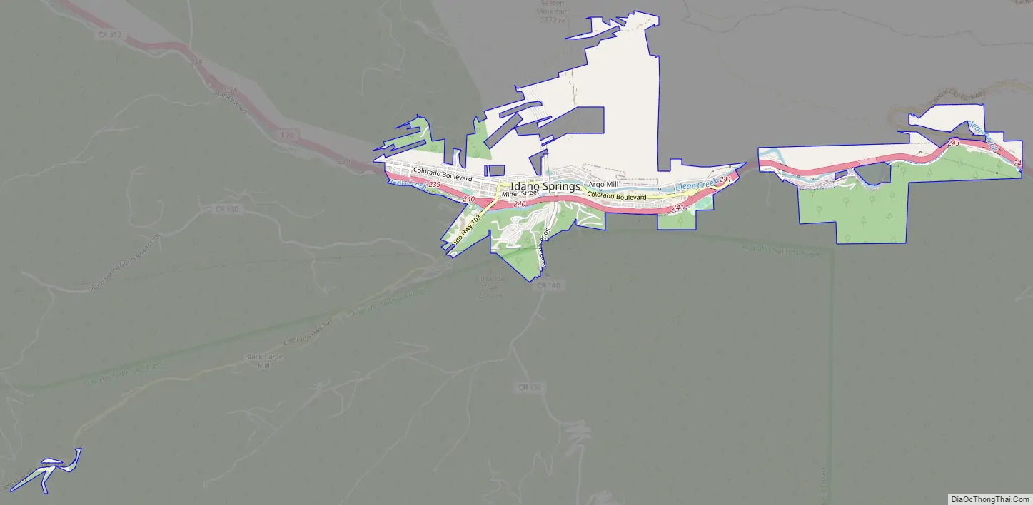
Idaho Springs Road Map
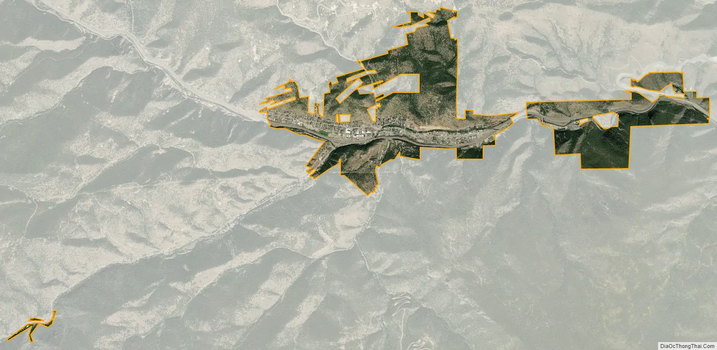
Idaho Springs city Satellite Map
Geography
Idaho Springs is located in northeastern Clear Creek County along Clear Creek near the confluence of its tributary, Chicago Creek.
According to the United States Census Bureau, the city has a total area of 2.2 square miles (5.7 km), of which 0.03 square miles (0.09 km), or 1.53%, is water.
Climate
Idaho Springs has a humid continental climate (Koppen: Dfb) with moderately cold winters and warm summers with cool nights. Annual snowfall is heavy, averaging 72 inches (183 cm).
See also
Map of Colorado State and its subdivision:- Adams
- Alamosa
- Arapahoe
- Archuleta
- Baca
- Bent
- Boulder
- Broomfield
- Chaffee
- Cheyenne
- Clear Creek
- Conejos
- Costilla
- Crowley
- Custer
- Delta
- Denver
- Dolores
- Douglas
- Eagle
- El Paso
- Elbert
- Fremont
- Garfield
- Gilpin
- Grand
- Gunnison
- Hinsdale
- Huerfano
- Jackson
- Jefferson
- Kiowa
- Kit Carson
- La Plata
- Lake
- Larimer
- Las Animas
- Lincoln
- Logan
- Mesa
- Mineral
- Moffat
- Montezuma
- Montrose
- Morgan
- Otero
- Ouray
- Park
- Phillips
- Pitkin
- Prowers
- Pueblo
- Rio Blanco
- Rio Grande
- Routt
- Saguache
- San Juan
- San Miguel
- Sedgwick
- Summit
- Teller
- Washington
- Weld
- Yuma
- Alabama
- Alaska
- Arizona
- Arkansas
- California
- Colorado
- Connecticut
- Delaware
- District of Columbia
- Florida
- Georgia
- Hawaii
- Idaho
- Illinois
- Indiana
- Iowa
- Kansas
- Kentucky
- Louisiana
- Maine
- Maryland
- Massachusetts
- Michigan
- Minnesota
- Mississippi
- Missouri
- Montana
- Nebraska
- Nevada
- New Hampshire
- New Jersey
- New Mexico
- New York
- North Carolina
- North Dakota
- Ohio
- Oklahoma
- Oregon
- Pennsylvania
- Rhode Island
- South Carolina
- South Dakota
- Tennessee
- Texas
- Utah
- Vermont
- Virginia
- Washington
- West Virginia
- Wisconsin
- Wyoming