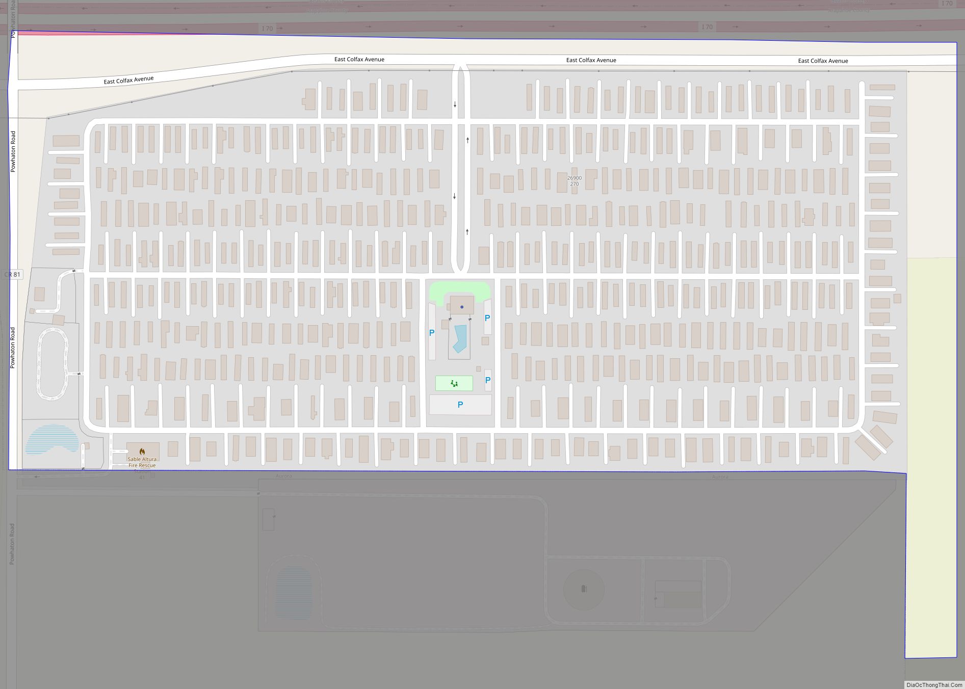
Aetna Estates is an unincorporated community and a census-designated place (CDP) located in and governed by Arapahoe County, Colorado, United States. The CDP is a part of the Denver–Aurora–Lakewood, CO Metropolitan Statistical Area. The population of the Aetna Estates CDP was 1,496 at the United States Census 2020. The unincorporated community is surrounded by Aurora ... Read more
Colorado Cities and Places
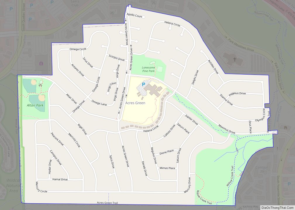
Acres Green is an unincorporated community and a census-designated place (CDP) located in and governed by Douglas County, Colorado, United States. The CDP is a part of the Denver–Aurora–Lakewood, CO Metropolitan Statistical Area. The population of the Acres Green CDP was 2,922 at the 2020 United States Census. The community lies in ZIP Code 80124. ... Read more
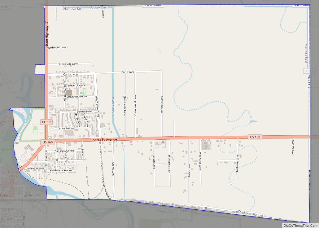
Alamosa East is an unincorporated community and a census-designated place (CDP) located in and governed by Alamosa County, Colorado, United States. The population of the Alamosa East CDP was 1,453 at the United States Census 2020. The Alamosa post office (Zip code 81101) serves the area. Alamosa East CDP overview: Name: Alamosa East CDP LSAD ... Read more
Akron is the Statutory Town that is the county seat and the most populous municipality of Washington County, Colorado, United States. The town population was 1,757 at the 2020 United States Census. Akron town overview: Name: Akron town LSAD Code: 43 LSAD Description: town (suffix) State: Colorado County: Washington County Incorporated: 1887-09-22 Elevation: 4,659 ft (1,420 m) ... Read more
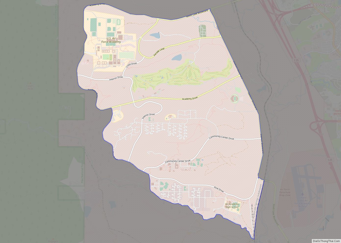
The Air Force Academy is a census-designated place (CDP) located in El Paso County, Colorado, United States. The CDP includes the developed portion of the United States Air Force Academy, including the cadet housing facilities. The CDP is a part of the Colorado Springs, CO Metropolitan Statistical Area. The USAF Academy post office (ZIP Codes ... Read more
Alma is a statutory town in Park County, Colorado, United States. The town population was 296 at the 2020 United States Census. Alma is located West and South of the Denver-Aurora-Lakewood, CO Metropolitan Statistical Area and the Front Range Urban Corridor. Alma town overview: Name: Alma town LSAD Code: 43 LSAD Description: town (suffix) State: ... Read more
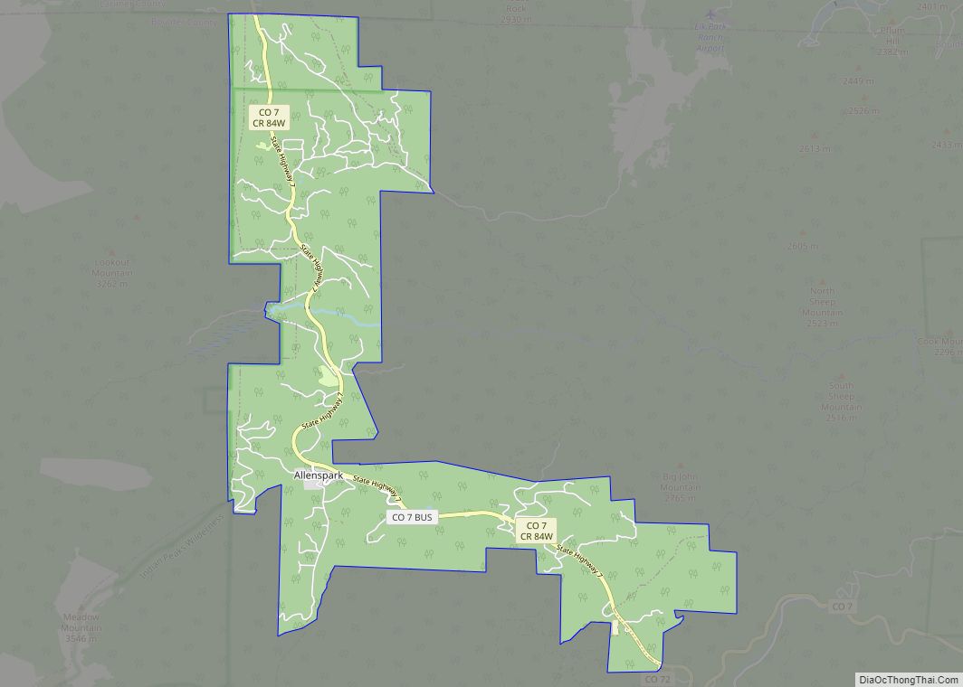
Allenspark is an unincorporated town, a post office, and a census-designated place (CDP) located in and governed by Boulder County, Colorado, United States. The CDP is a part of the Boulder, CO Metropolitan Statistical Area. The Allenspark post office has the ZIP code 80510. At the United States Census 2020, the population of the Allenspark ... Read more
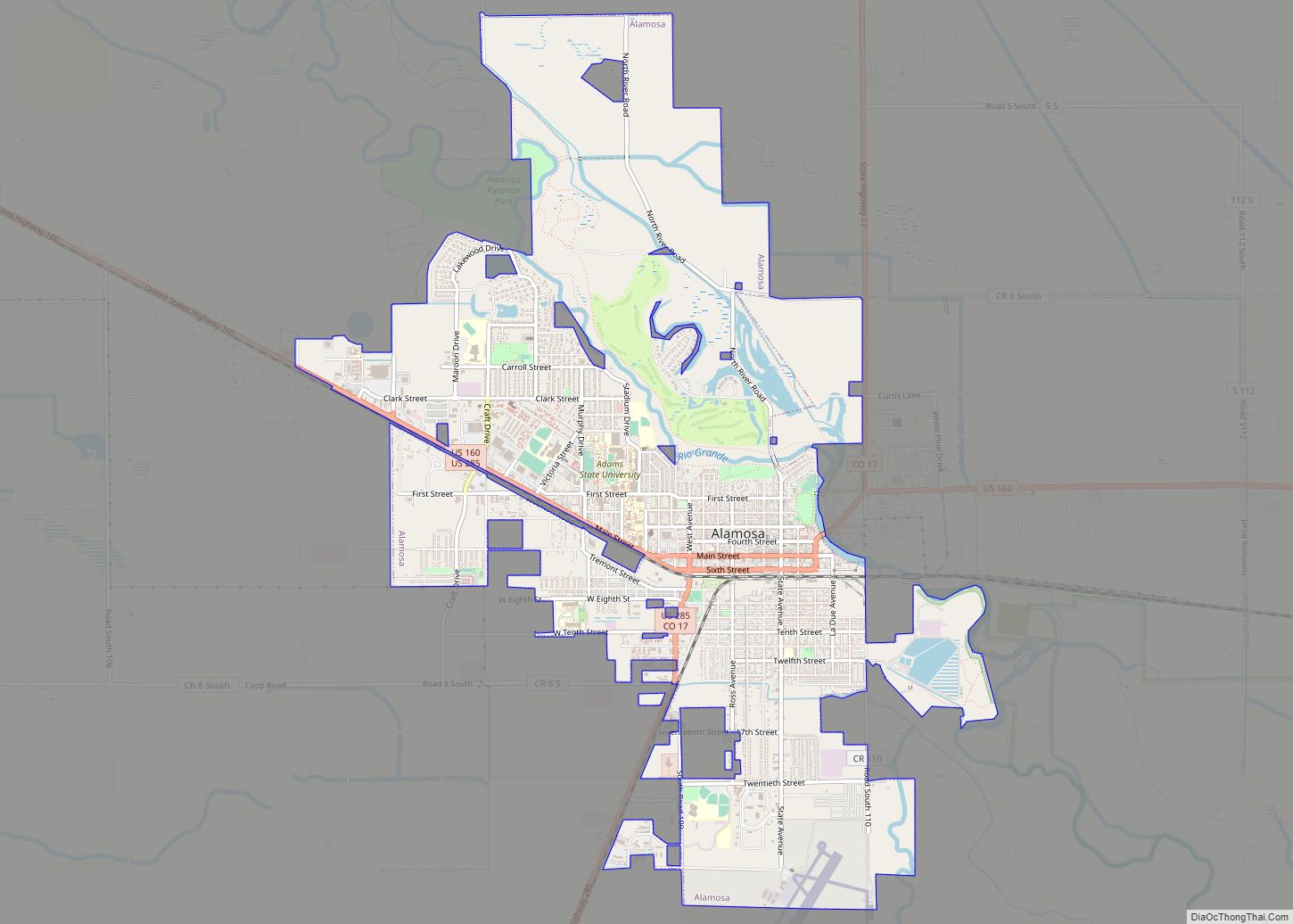
Alamosa is a home rule municipality and the county seat of Alamosa County, Colorado, United States. The city population was 9,806 at the 2020 United States Census. The city is the commercial center of the San Luis Valley in south-central Colorado, and is the home of Adams State University. Alamosa city overview: Name: Alamosa city ... Read more
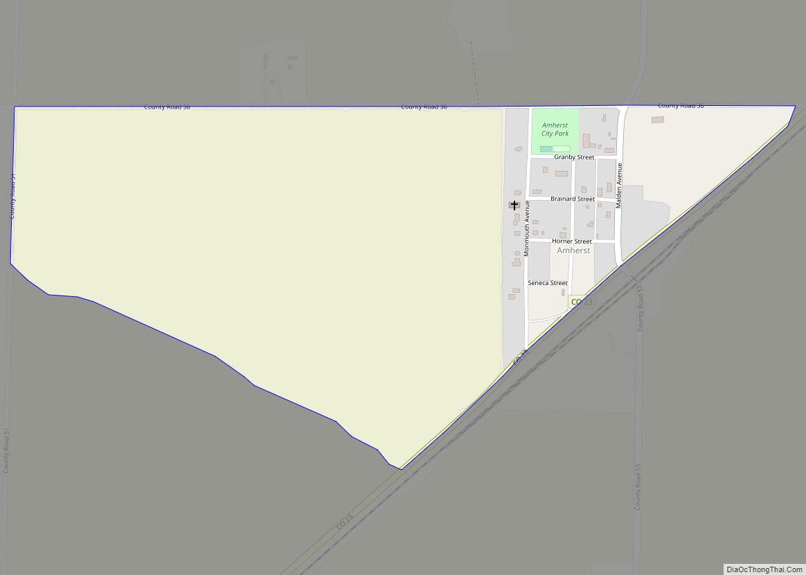
Amherst is a census-designated place (CDP) and a post office in and governed by Phillips County, Colorado, United States. The Amherst post office has the ZIP Code 80721. At the United States Census 2020, the population of the Amherst CDP was 47. Amherst CDP overview: Name: Amherst CDP LSAD Code: 57 LSAD Description: CDP (suffix) ... Read more
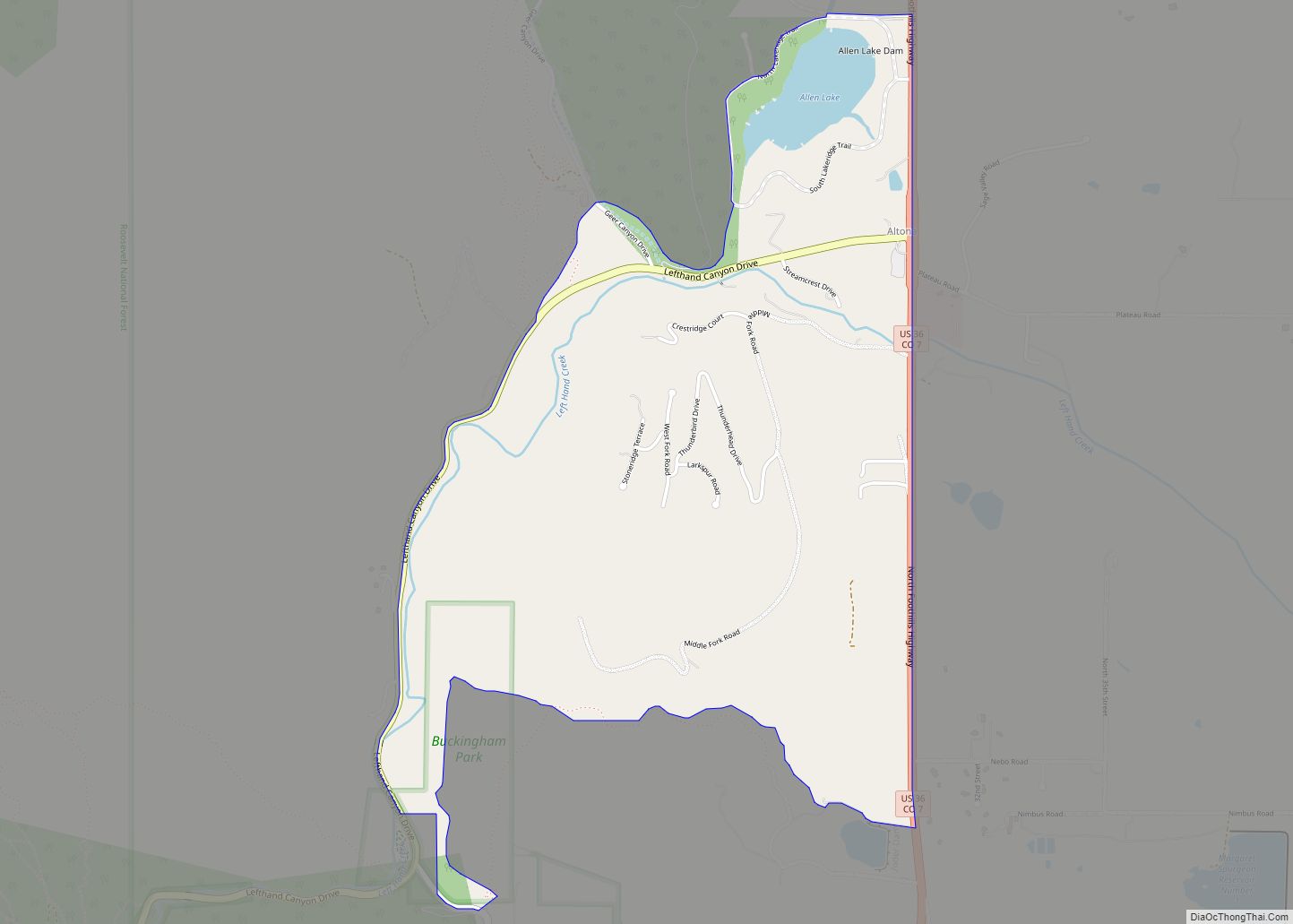
Altona is an unincorporated community and a census-designated place (CDP) located in and governed by Boulder County, Colorado, United States. The CDP is a part of the Boulder, CO Metropolitan Statistical Area. The population of the Altona CDP was 512 at the United States Census 2020. The Boulder post office (Zip Code 80302) serves the ... Read more
Alpine is an unincorporated community and a census-designated place (CDP) located in and governed by Rio Grande County, Colorado, United States. The population of the Alpine CDP was 169 at the United States Census 2020. The South Fork post office (Zip Code 81154) serves the area. Alpine CDP overview: Name: Alpine CDP LSAD Code: 57 ... Read more
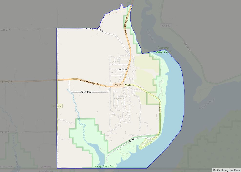
Arboles is an unincorporated town, and a census-designated place (CDP) located in and governed by Archuleta County, Colorado, United States. The Arboles post office has the ZIP code 81121. At the United States Census 2020, the population of the Arboles CDP was 308. The town’s name means “trees” in Spanish. Arboles CDP overview: Name: Arboles ... Read more
