Akron is the Statutory Town that is the county seat and the most populous municipality of Washington County, Colorado, United States. The town population was 1,757 at the 2020 United States Census.
| Name: | Akron town |
|---|---|
| LSAD Code: | 43 |
| LSAD Description: | town (suffix) |
| State: | Colorado |
| County: | Washington County |
| Incorporated: | 1887-09-22 |
| Elevation: | 4,659 ft (1,420 m) |
| Total Area: | 2.77 sq mi (7.18 km²) |
| Land Area: | 2.77 sq mi (7.18 km²) |
| Water Area: | 0.00 sq mi (0.00 km²) |
| Total Population: | 1,757 |
| Population Density: | 633.84/sq mi (244.70/km²) |
| ZIP code: | 80720 |
| Area code: | 970 |
| FIPS code: | 0800925 |
| Website: | townofakron.colorado.gov |
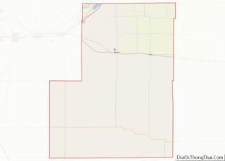
Online Interactive Map
Click on ![]() to view map in "full screen" mode.
to view map in "full screen" mode.
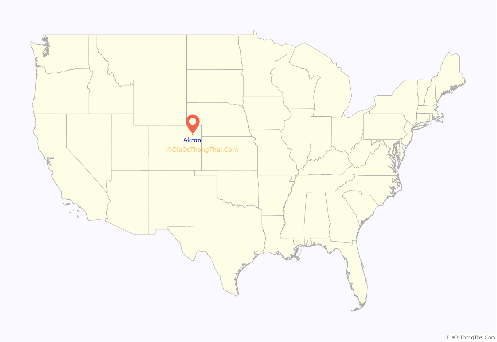
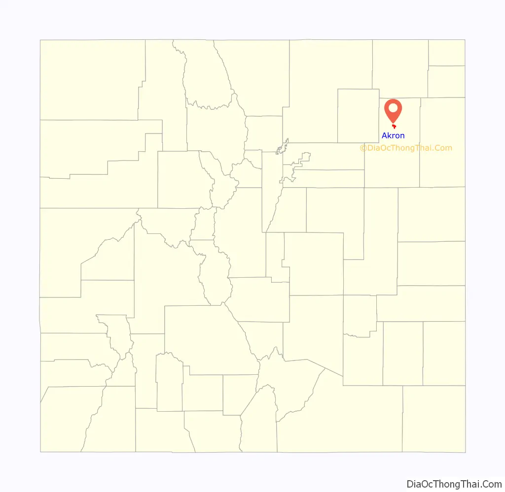
Akron location map. Where is Akron town?
History
Akron was platted in 1882. The community was named after Akron, Ohio, the native home of the wife of a railroad employee. The town was incorporated in 1887.
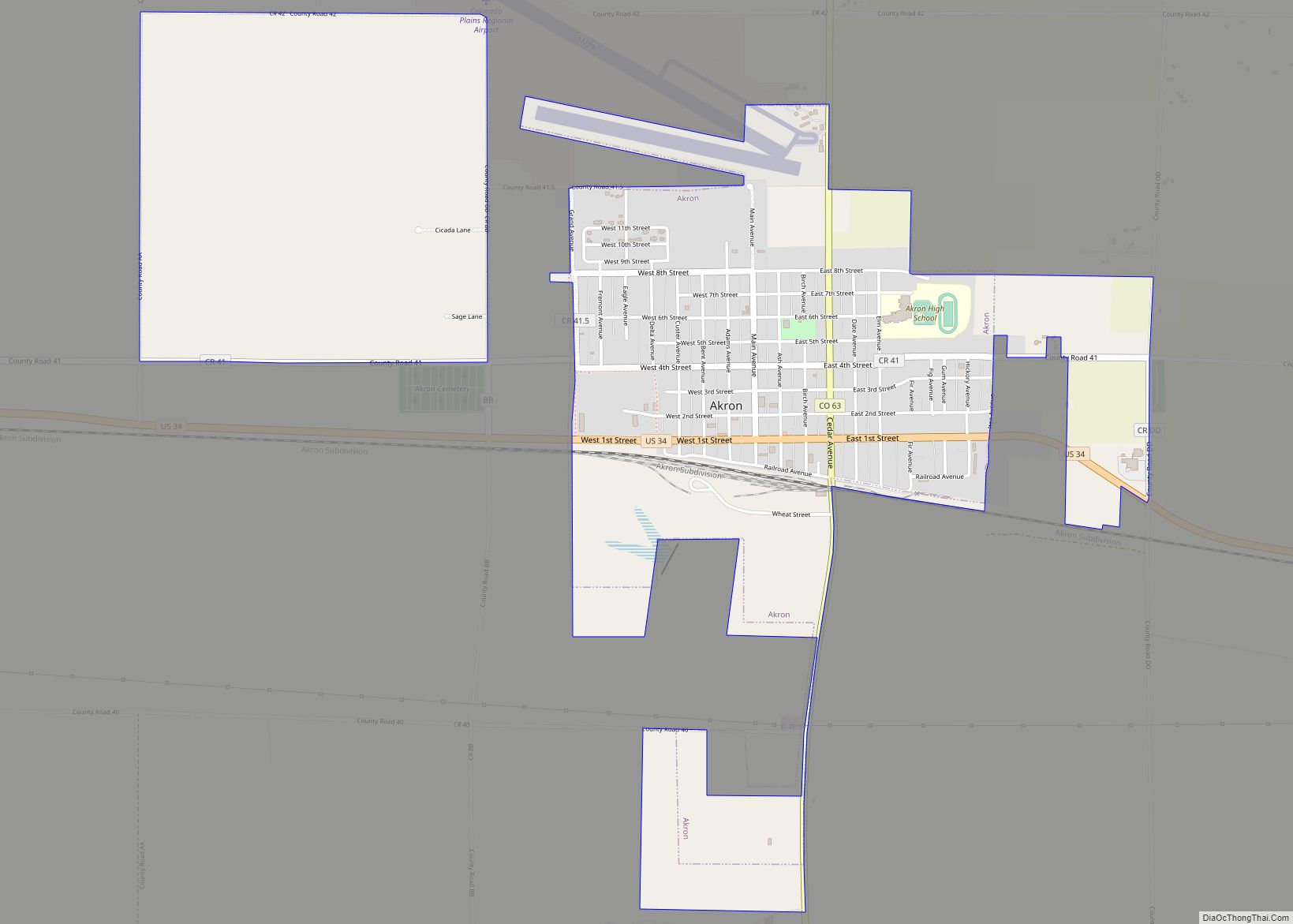
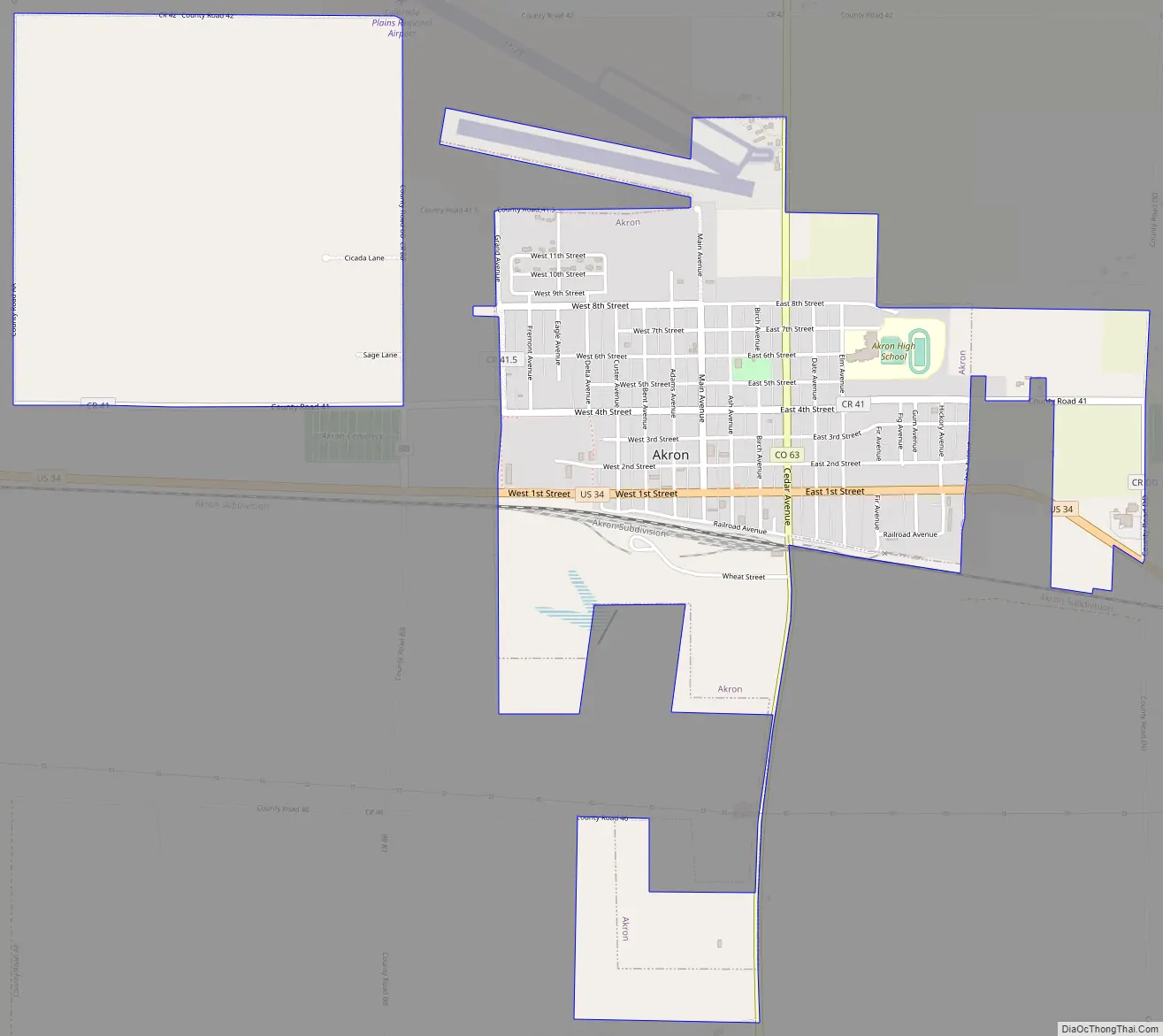
Akron Road Map
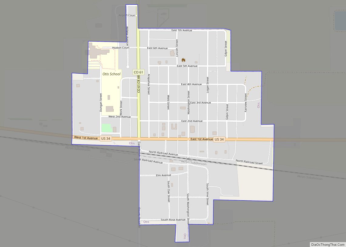
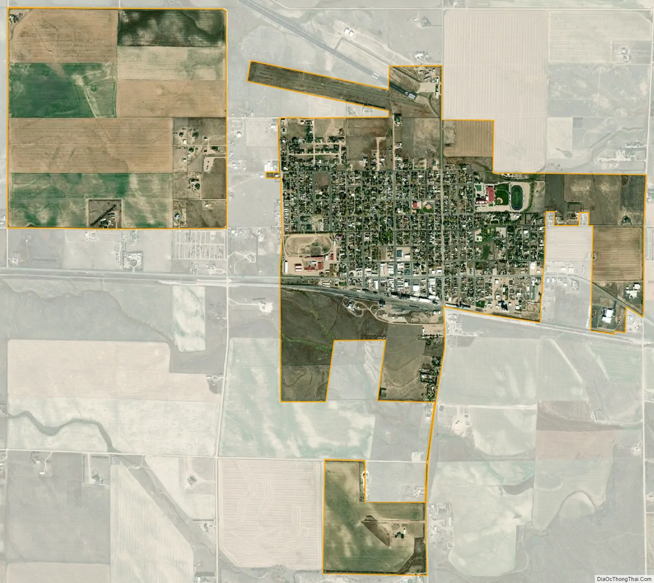
Akron city Satellite Map
Geography
Akron is located at 40°9′42″N 103°12′43″W / 40.16167°N 103.21194°W / 40.16167; -103.21194 (40.161530, -103.211850), at the intersection of U.S. Highway 34 and State Highway 63.
At the 2020 United States Census, the town had a total area of 1,774 acres (7.180 km), all of it land.
See also
Map of Colorado State and its subdivision:- Adams
- Alamosa
- Arapahoe
- Archuleta
- Baca
- Bent
- Boulder
- Broomfield
- Chaffee
- Cheyenne
- Clear Creek
- Conejos
- Costilla
- Crowley
- Custer
- Delta
- Denver
- Dolores
- Douglas
- Eagle
- El Paso
- Elbert
- Fremont
- Garfield
- Gilpin
- Grand
- Gunnison
- Hinsdale
- Huerfano
- Jackson
- Jefferson
- Kiowa
- Kit Carson
- La Plata
- Lake
- Larimer
- Las Animas
- Lincoln
- Logan
- Mesa
- Mineral
- Moffat
- Montezuma
- Montrose
- Morgan
- Otero
- Ouray
- Park
- Phillips
- Pitkin
- Prowers
- Pueblo
- Rio Blanco
- Rio Grande
- Routt
- Saguache
- San Juan
- San Miguel
- Sedgwick
- Summit
- Teller
- Washington
- Weld
- Yuma
- Alabama
- Alaska
- Arizona
- Arkansas
- California
- Colorado
- Connecticut
- Delaware
- District of Columbia
- Florida
- Georgia
- Hawaii
- Idaho
- Illinois
- Indiana
- Iowa
- Kansas
- Kentucky
- Louisiana
- Maine
- Maryland
- Massachusetts
- Michigan
- Minnesota
- Mississippi
- Missouri
- Montana
- Nebraska
- Nevada
- New Hampshire
- New Jersey
- New Mexico
- New York
- North Carolina
- North Dakota
- Ohio
- Oklahoma
- Oregon
- Pennsylvania
- Rhode Island
- South Carolina
- South Dakota
- Tennessee
- Texas
- Utah
- Vermont
- Virginia
- Washington
- West Virginia
- Wisconsin
- Wyoming