Alamosa is a home rule municipality and the county seat of Alamosa County, Colorado, United States. The city population was 9,806 at the 2020 United States Census. The city is the commercial center of the San Luis Valley in south-central Colorado, and is the home of Adams State University.
| Name: | Alamosa city |
|---|---|
| LSAD Code: | 25 |
| LSAD Description: | city (suffix) |
| State: | Colorado |
| County: | Alamosa County |
| Incorporated: | August 12, 1878 |
| Elevation: | 7,545 ft (2,300 m) |
| Total Area: | 7.97 sq mi (20.65 km²) |
| Land Area: | 7.90 sq mi (20.46 km²) |
| Water Area: | 0.07 sq mi (0.19 km²) |
| Total Population: | 9,806 |
| Population Density: | 184.0/sq mi (71.03/km²) |
| ZIP code: | 81101, 81102 |
| Area code: | 719 |
| FIPS code: | 0801090 |
| Website: | cityofalamosa.org |
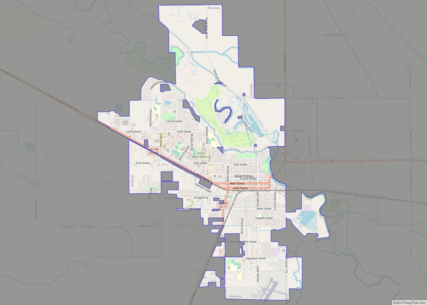
Online Interactive Map
Click on ![]() to view map in "full screen" mode.
to view map in "full screen" mode.
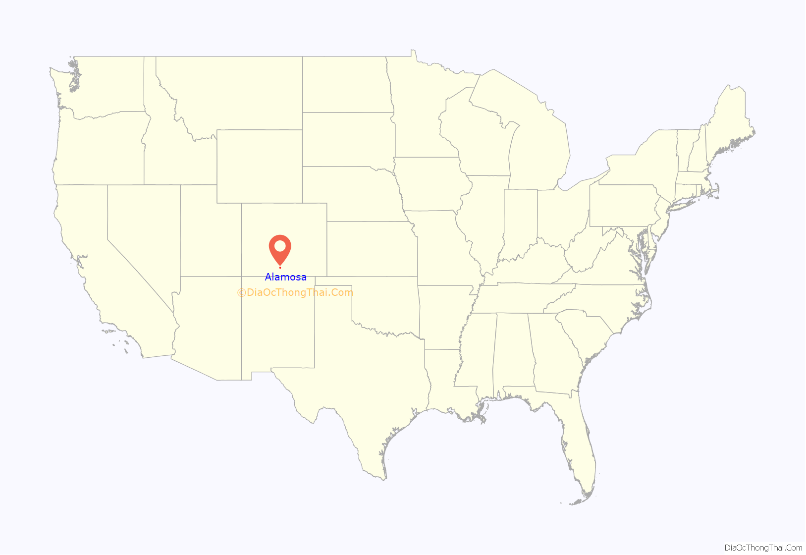
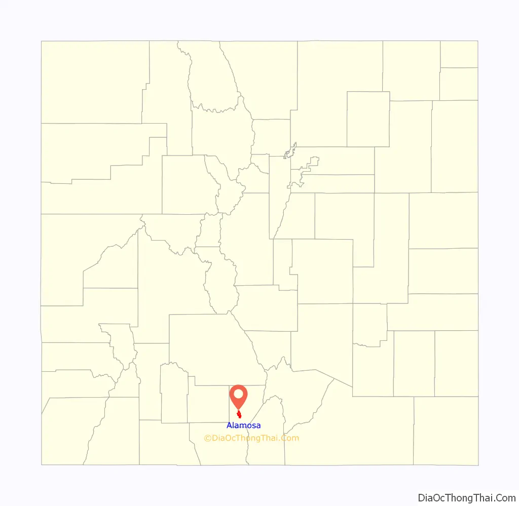
Alamosa location map. Where is Alamosa city?
History
Alamosa was established in May 1878 by the Denver and Rio Grande Railroad and quickly became an important rail center. Alamosa was the terminus of the D&RG until 1881, when the line was extended to Monte Vista. The railroad had an extensive construction, repair and shipping facility in Alamosa for many years and headquartered its remaining narrow gauge service here with trackage reaching many points throughout southwest Colorado and northern New Mexico. Alamosa is now a notable tourist town with many nearby attractions, including the Great Sand Dunes National Park and Preserve, Colorado Gators Reptile Park and the Rio Grande Scenic Railroad. The town hosts “Summer Fest on the Rio” which occurs the first weekend in June, the Early Iron car show over the Labor Day weekend, and “Weekends on the Rio” on various Sundays throughout the summer The city takes its name from the Spanish adjective Alamosa, meaning “of cottonwood”, for the cottonwood forests which grow along the Rio Grande and throughout town.
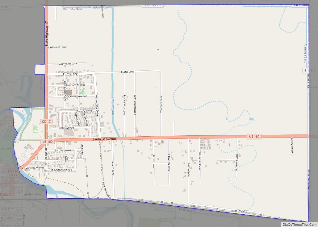
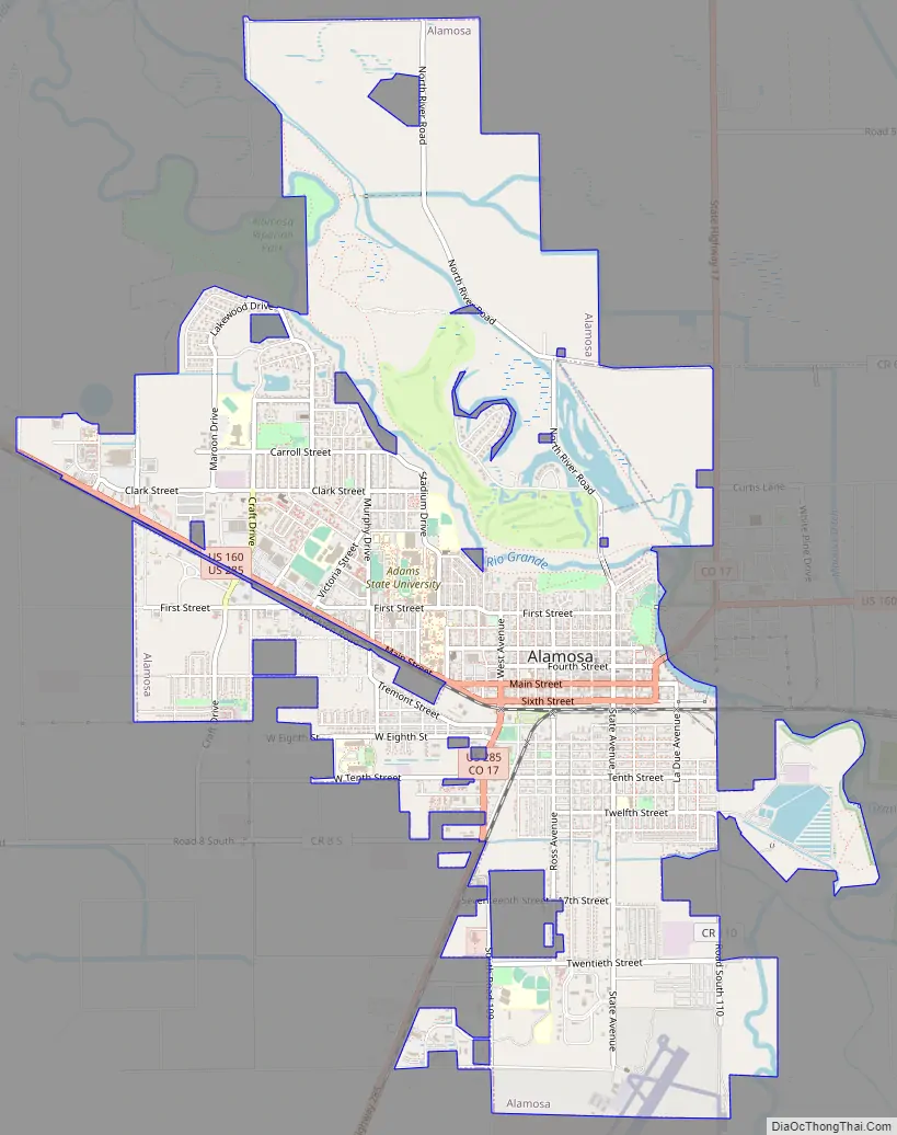
Alamosa Road Map
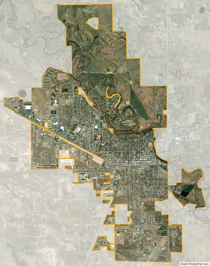
Alamosa city Satellite Map
Geography
Alamosa is located at 37°28′N 105°52′W / 37.467°N 105.867°W / 37.467; -105.867 (37.469, −105.874), at the junction of U.S. Routes 160 and 285. At the 2020 United States Census, the city had a total area of 4,910 acres (19.871 km) including 47 acres (0.192 km) of water.
Alamosa is located along the Rio Grande in the San Luis Valley, in the highest general agricultural land in the United States. Elevation is about 7,544 feet (2,299 m) in Alamosa with peaks over 14,000 feet (4,300 m) within 23 miles (37 km) of town in the Sangre de Cristo Range.
Alamosa is the gateway city to the Great Sand Dunes National Park and Preserve.
Climate
Alamosa features a cold desert climate (Köppen BWk) with long, cold winters and warm summers, and dry weather year-round. The normal monthly mean temperature ranges from 16.3 °F (−8.7 °C) in January to 64.6 °F (18.1 °C) in July. Annual precipitation is only 7.31 inches (186 mm), with the months of July through September being the wettest. The aridity depresses normal seasonal (July through June of the following year) snowfall to 27.6 inches (70 cm).
The altitude and dryness of the air cause day–night temperature differences to be severe year-round, averaging 35.4 °F (19.7 °C) throughout the year. There was a long-term annual average of 227 days per year with a minimum of 32 °F (0 °C) or less. In the 1981–2010 period, there was an average of 46 nights with minima at or below 0 °F (−18 °C).
On July 10, 2020, Alamosa made weather history by measuring a record low temperature and a record high temperature in less than 12 hours.
See also
Map of Colorado State and its subdivision:- Adams
- Alamosa
- Arapahoe
- Archuleta
- Baca
- Bent
- Boulder
- Broomfield
- Chaffee
- Cheyenne
- Clear Creek
- Conejos
- Costilla
- Crowley
- Custer
- Delta
- Denver
- Dolores
- Douglas
- Eagle
- El Paso
- Elbert
- Fremont
- Garfield
- Gilpin
- Grand
- Gunnison
- Hinsdale
- Huerfano
- Jackson
- Jefferson
- Kiowa
- Kit Carson
- La Plata
- Lake
- Larimer
- Las Animas
- Lincoln
- Logan
- Mesa
- Mineral
- Moffat
- Montezuma
- Montrose
- Morgan
- Otero
- Ouray
- Park
- Phillips
- Pitkin
- Prowers
- Pueblo
- Rio Blanco
- Rio Grande
- Routt
- Saguache
- San Juan
- San Miguel
- Sedgwick
- Summit
- Teller
- Washington
- Weld
- Yuma
- Alabama
- Alaska
- Arizona
- Arkansas
- California
- Colorado
- Connecticut
- Delaware
- District of Columbia
- Florida
- Georgia
- Hawaii
- Idaho
- Illinois
- Indiana
- Iowa
- Kansas
- Kentucky
- Louisiana
- Maine
- Maryland
- Massachusetts
- Michigan
- Minnesota
- Mississippi
- Missouri
- Montana
- Nebraska
- Nevada
- New Hampshire
- New Jersey
- New Mexico
- New York
- North Carolina
- North Dakota
- Ohio
- Oklahoma
- Oregon
- Pennsylvania
- Rhode Island
- South Carolina
- South Dakota
- Tennessee
- Texas
- Utah
- Vermont
- Virginia
- Washington
- West Virginia
- Wisconsin
- Wyoming