Map of Orchard CDP

Map of Orchard CDP, Colorado

Orchard is an unincorporated town, a post office, and a census-designated place (CDP) located in and governed by Morgan County, Colorado, United States. The CDP is a part of the Fort Morgan, CO Micropolitan Statistical Area. The Orchard post office has the ZIP Code 80649. As of the 2020 census, the population of the Orchard … Read more

Map of Orchard Mesa CDP

Map of Orchard Mesa CDP

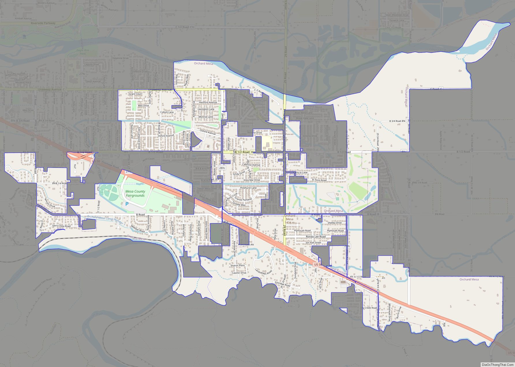
Orchard Mesa is a census-designated place (CDP) in and governed by Mesa County, Colorado, United States. It is part of the Grand Junction, CO Metropolitan Statistical Area. The population of the Orchard Mesa CDP was 6,688 at the 2020 census. The Grand Junction post office (ZIP Code 81503) serves the area. Orchard Mesa CDP overview: … Read more

Map of Ouray city

Map of Ouray city

Ouray (/ˈjʊəreɪ/) is a home rule municipality that is the county seat of Ouray County, Colorado, United States. The city population was 898 as of the 2020 census. The Ouray Post Office has the ZIP Code 81427. Located at an elevation of 7,792 feet (2,375 m), Ouray’s climate, natural alpine environment, and scenery have earned it … Read more

Map of Otis town

Map of Otis town, Colorado

Otis is a Statutory Town in Washington County, Colorado, United States. The population was 511 at the 2020 census. Otis town overview: Name: Otis town LSAD Code: 43 LSAD Description: town (suffix) State: Colorado County: Washington County Elevation: 4,360 ft (1,329 m) Total Area: 0.41 sq mi (1.07 km²) Land Area: 0.41 sq mi (1.07 km²) Water Area: 0.00 sq mi (0.00 km²) Total Population: 511 … Read more

Map of Ordway town

Map of Ordway town

Ordway is a Statutory Town in and the county seat of Crowley County, Colorado, United States, that is also the most populous community in the county. The population was 1,066 at the 2020 census. Ordway town overview: Name: Ordway town LSAD Code: 43 LSAD Description: town (suffix) State: Colorado County: Crowley County Elevation: 4,311 ft (1,314 m) … Read more

Map of Pagosa Springs town

Map of Pagosa Springs town

The Town of Pagosa Springs (Ute language: Pagwöösa, Navajo language: Tó Sido Háálį́) is a home rule municipality that is the county seat, the most populous community, and the only incorporated municipality in Archuleta County, Colorado, United States. The population was 1,571 at the 2020 census. Approximately 65 percent of the land in Archuleta County … Read more

Map of Padroni CDP

Map of Padroni CDP

Padroni is an unincorporated town, a census-designated place (CDP), and a post office located in and governed by Logan County, Colorado, United States. The CDP is a part of the Sterling, CO Micropolitan Statistical Area. The Padroni post office has the ZIP Code 80745. At the United States Census 2020, the population of the Padroni … Read more

Map of Ovid town

Map of Ovid town, Colorado

Ovid is a statutory town in Sedgwick County, Colorado, United States. The population was 271 at the 2020 census. Ovid town overview: Name: Ovid town LSAD Code: 43 LSAD Description: town (suffix) State: Colorado County: Sedgwick County Elevation: 3,533 ft (1,077 m) Total Area: 0.16 sq mi (0.40 km²) Land Area: 0.16 sq mi (0.40 km²) Water Area: 0.00 sq mi (0.00 km²) Total Population: 271 … Read more

Map of Paoli town

Map of Paoli town, Colorado

Paoli is a Statutory Town in Phillips County, Colorado, United States. The population was 51 according to the 2020 census. Paoli town overview: Name: Paoli town LSAD Code: 43 LSAD Description: town (suffix) State: Colorado County: Phillips County Incorporated: 1930-08-06 Elevation: 3,888 ft (1,185 m) Total Area: 0.30 sq mi (0.77 km²) Land Area: 0.30 sq mi (0.77 km²) Water Area: 0.00 sq mi (0.00 km²) … Read more

Map of Palmer Lake town

Map of Palmer Lake town

Palmer Lake is a Statutory Town in El Paso County, Colorado, United States. The population was 2,636 at the 2020 census. Palmer Lake was founded by General William Jackson Palmer in 1871 and was incorporated in 1889. Palmer Lake is one of three communities in the Tri-Lakes region between Denver and Colorado Springs. The three … Read more

Map of Palisade town

Map of Palisade town, Colorado

Palisade is a statutory town in Mesa County, Colorado, United States. It is part of the Grand Junction Metropolitan Statistical Area. The population was 2,565 at the 2020 census, down from 2,692 in 2010. The community was named for the cliffs near the town site. Palisade is known for its peach orchards and wine vineyards. … Read more

Map of Paragon Estates CDP

Map of Paragon Estates CDP

Paragon Estates is an unincorporated community and a census-designated place (CDP) located in and governed by Boulder County, Colorado, United States. The CDP is a part of the Boulder, CO Metropolitan Statistical Area. The population of the Paragon Estates CDP was 975 at the United States Census 2020. The Boulder post office (Zip Code 80303) … Read more