The Town of Parachute is a home rule municipality in Garfield County, Colorado, United States. The population was 1,390 at the 2020 census.
The town is the birthplace of Willard Libby, recipient of the 1960 Nobel Prize in Chemistry.
| Name: | Parachute town |
|---|---|
| LSAD Code: | 43 |
| LSAD Description: | town (suffix) |
| State: | Colorado |
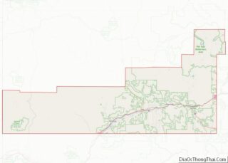
| County: | Garfield County |
| Incorporated: | 1908-04-01, as the Town of Grand Valley |
| Elevation: | 5,092 ft (1,552 m) |
| Total Area: | 1.87 sq mi (4.85 km²) |
| Land Area: | 1.81 sq mi (4.68 km²) |
| Water Area: | 0.07 sq mi (0.17 km²) |
| Total Population: | 1,390 |
| Population Density: | 740/sq mi (290/km²) |
| ZIP code: | 81635, 81636 (PO Box) |
| Area code: | 970 |
| FIPS code: | 0857400 |
| GNISfeature ID: | 2413110 |
| Website: | www.parachutecolorado.com |
Online Interactive Map
Click on ![]() to view map in "full screen" mode.
to view map in "full screen" mode.
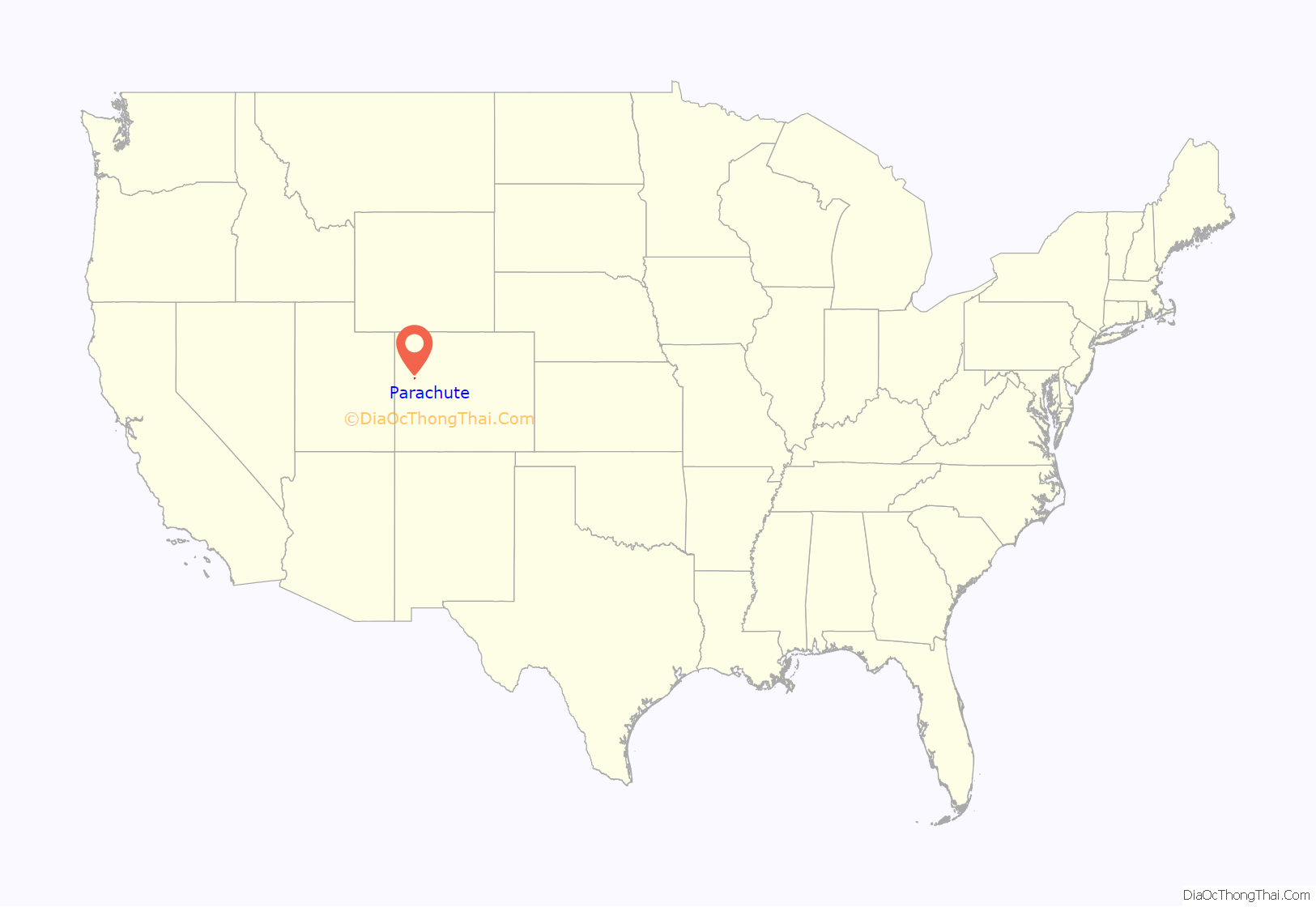
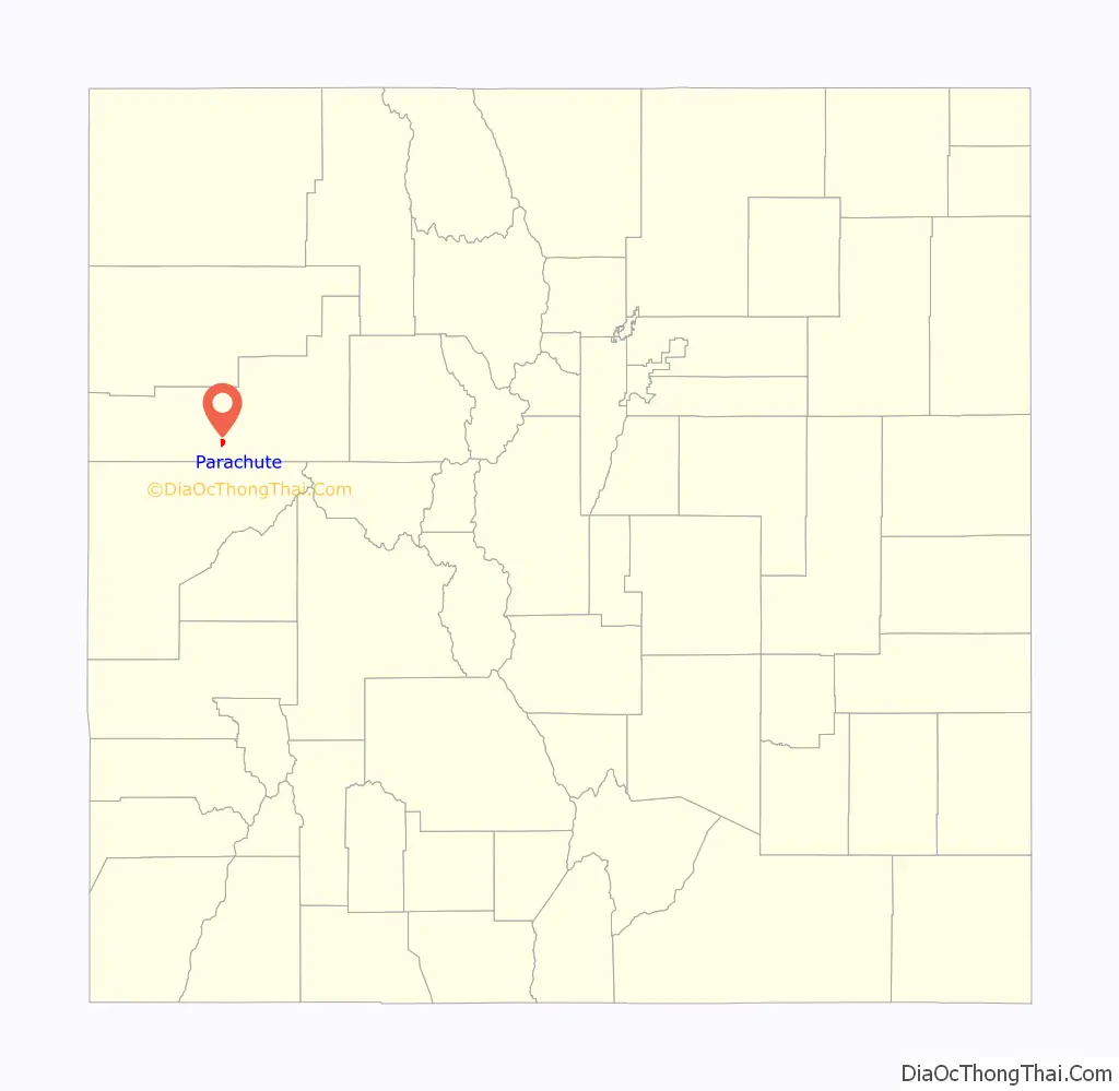
Parachute location map. Where is Parachute town?
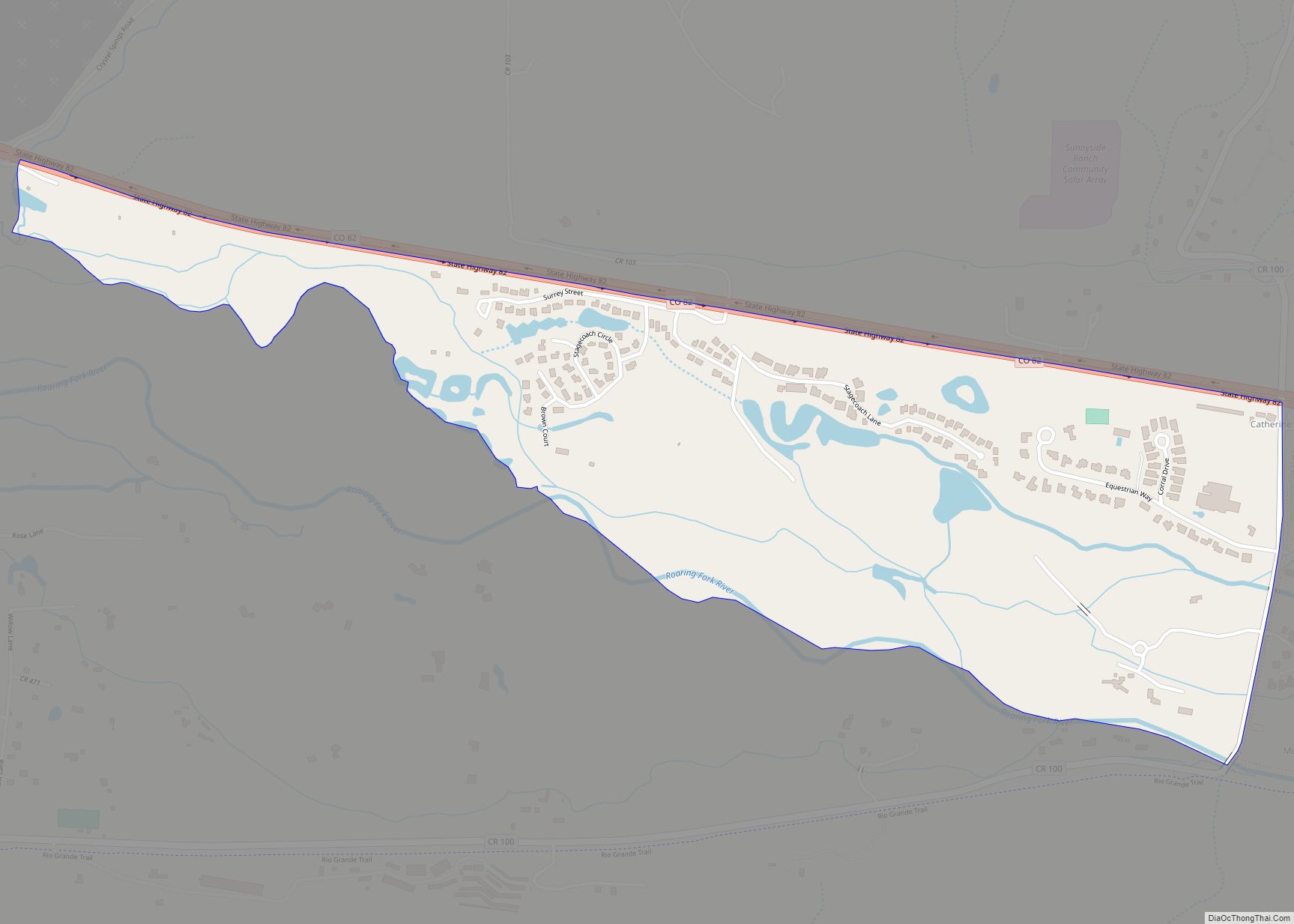
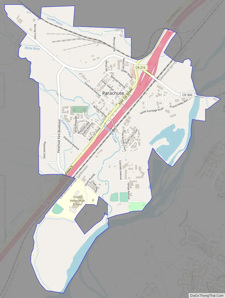
Parachute Road Map
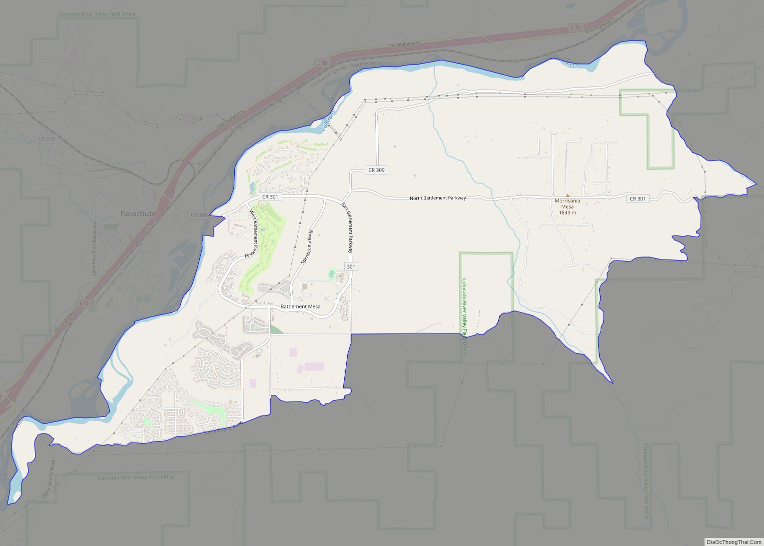
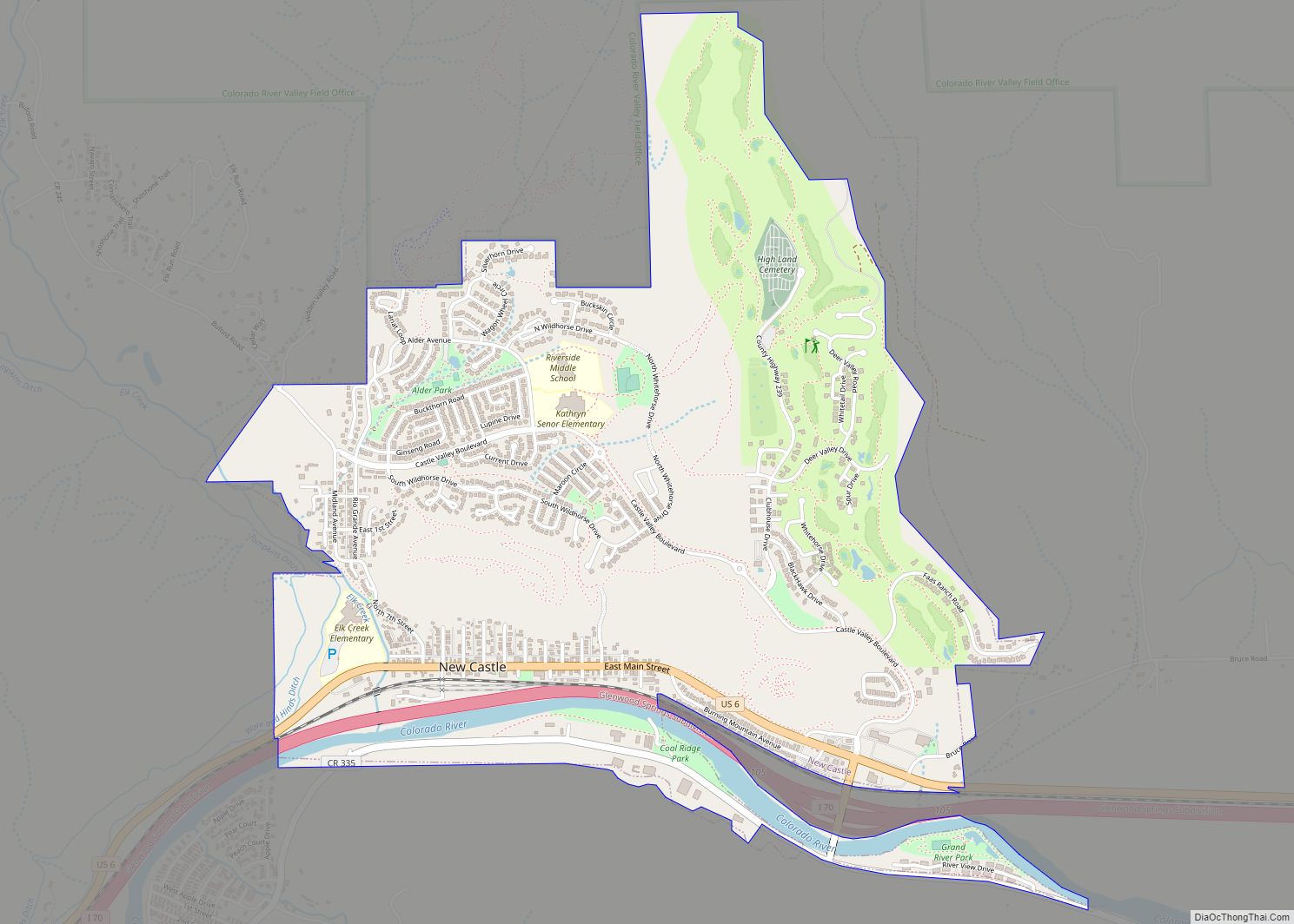
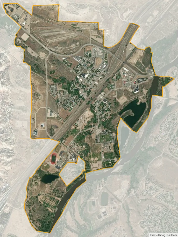
Parachute city Satellite Map
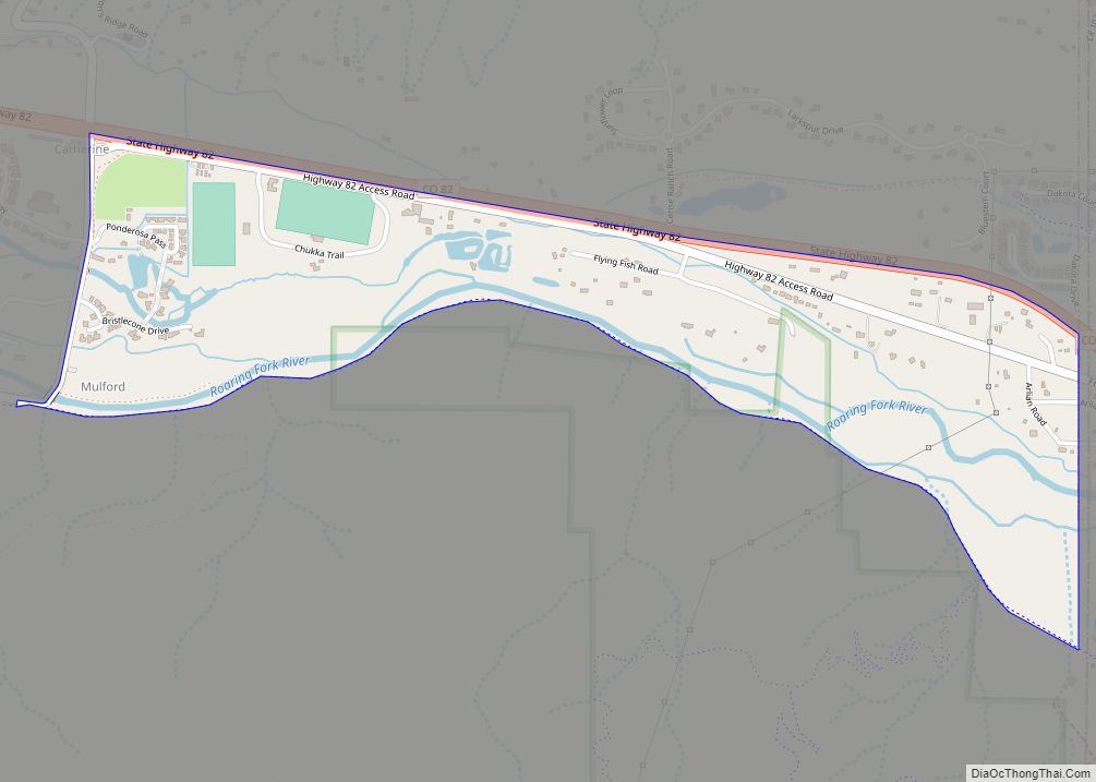
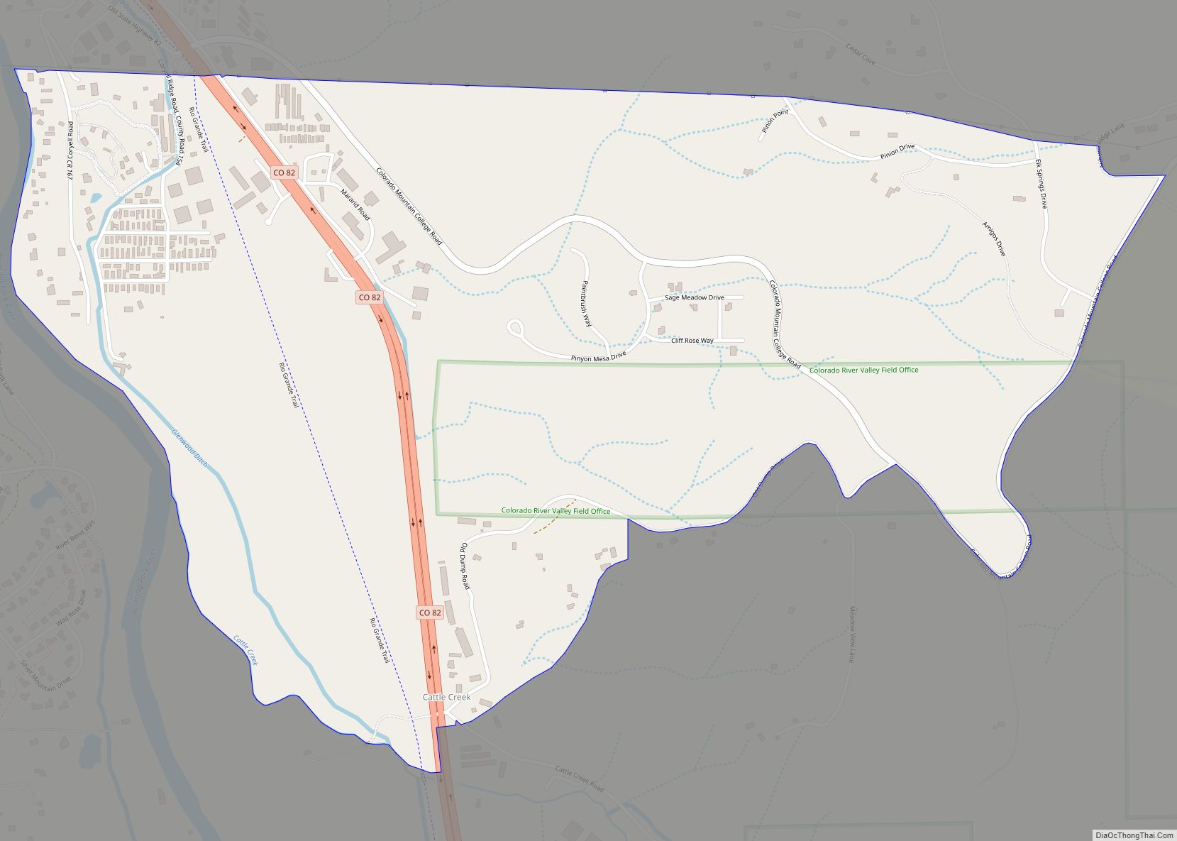
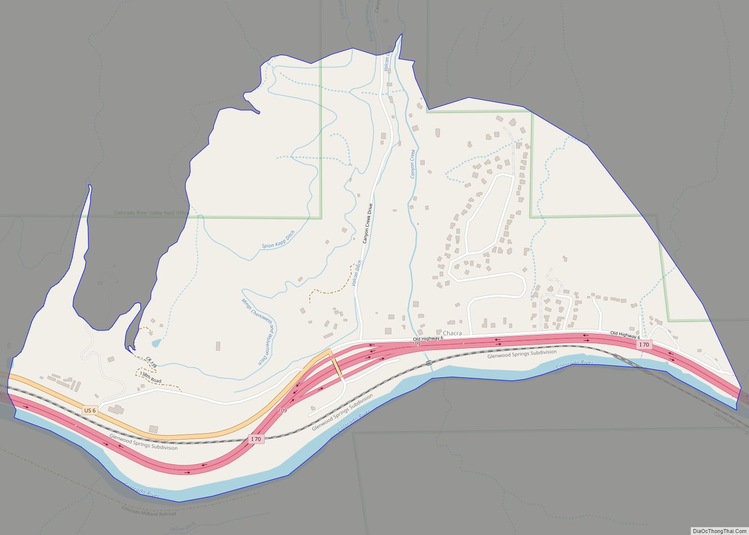
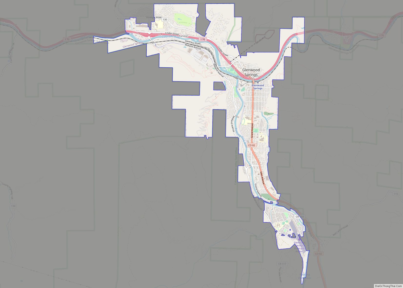
Geography
Parachute is on the northwest side of the Colorado River where it is joined by Parachute Creek. Interstate 70 passes through the town, with access from Exit 75. I-70 leads east 42 miles (68 km) to Glenwood Springs, the county seat, and southwest 44 miles (71 km) to Grand Junction. Parachute is bordered to the southeast across the Colorado River by the unincorporated community of Battlement Mesa.
According to the United States Census Bureau, the town has a total area of 1.67 square miles (4.32 km), of which 1.61 square miles (4.16 km) is land and 0.062 square miles (0.16 km), or 3.70%, is water.
See also
Map of Colorado State and its subdivision:- Adams
- Alamosa
- Arapahoe
- Archuleta
- Baca
- Bent
- Boulder
- Broomfield
- Chaffee
- Cheyenne
- Clear Creek
- Conejos
- Costilla
- Crowley
- Custer
- Delta
- Denver
- Dolores
- Douglas
- Eagle
- El Paso
- Elbert
- Fremont
- Garfield
- Gilpin
- Grand
- Gunnison
- Hinsdale
- Huerfano
- Jackson
- Jefferson
- Kiowa
- Kit Carson
- La Plata
- Lake
- Larimer
- Las Animas
- Lincoln
- Logan
- Mesa
- Mineral
- Moffat
- Montezuma
- Montrose
- Morgan
- Otero
- Ouray
- Park
- Phillips
- Pitkin
- Prowers
- Pueblo
- Rio Blanco
- Rio Grande
- Routt
- Saguache
- San Juan
- San Miguel
- Sedgwick
- Summit
- Teller
- Washington
- Weld
- Yuma
- Alabama
- Alaska
- Arizona
- Arkansas
- California
- Colorado
- Connecticut
- Delaware
- District of Columbia
- Florida
- Georgia
- Hawaii
- Idaho
- Illinois
- Indiana
- Iowa
- Kansas
- Kentucky
- Louisiana
- Maine
- Maryland
- Massachusetts
- Michigan
- Minnesota
- Mississippi
- Missouri
- Montana
- Nebraska
- Nevada
- New Hampshire
- New Jersey
- New Mexico
- New York
- North Carolina
- North Dakota
- Ohio
- Oklahoma
- Oregon
- Pennsylvania
- Rhode Island
- South Carolina
- South Dakota
- Tennessee
- Texas
- Utah
- Vermont
- Virginia
- Washington
- West Virginia
- Wisconsin
- Wyoming