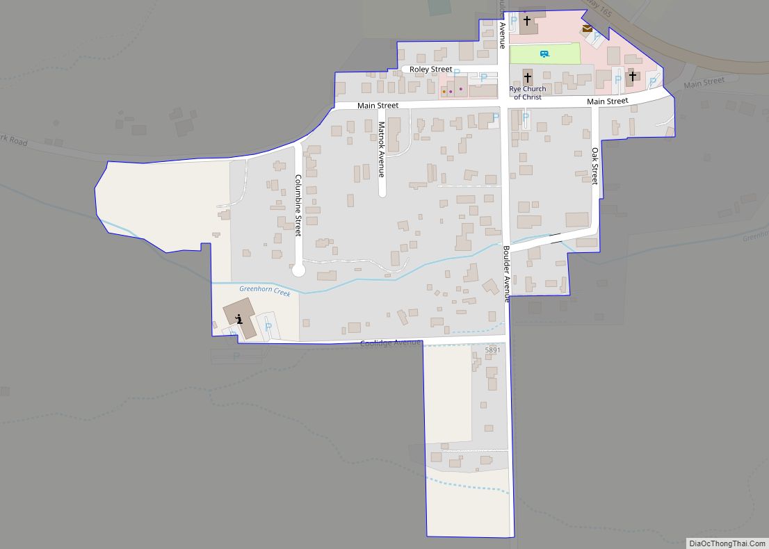
Rye is a Statutory Town in Pueblo County, Colorado, United States. It is part of the Pueblo, Colorado Metropolitan Statistical Area. The population was 206 at the 2020 census. A post office called Rye has been in operation since 1881. Some say the community was named for the wild rye native to the area, while ... Read more
Colorado Cities and Places
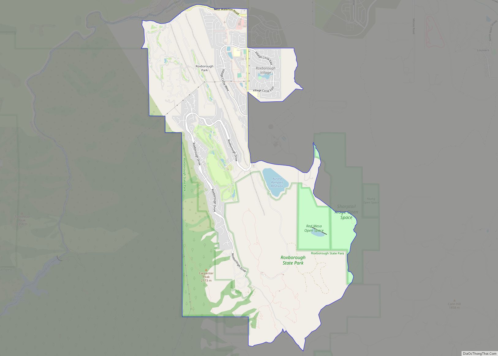
Roxborough Park is an unincorporated community and a census-designated place (CDP) located in and governed by Douglas County, Colorado, United States. The CDP is a part of the Denver–Aurora–Lakewood, CO Metropolitan Statistical Area. The population of the Roxborough Park CDP was 9,416 at the United States Census 2020. The Roxborough Village Metropolitan District and the ... Read more
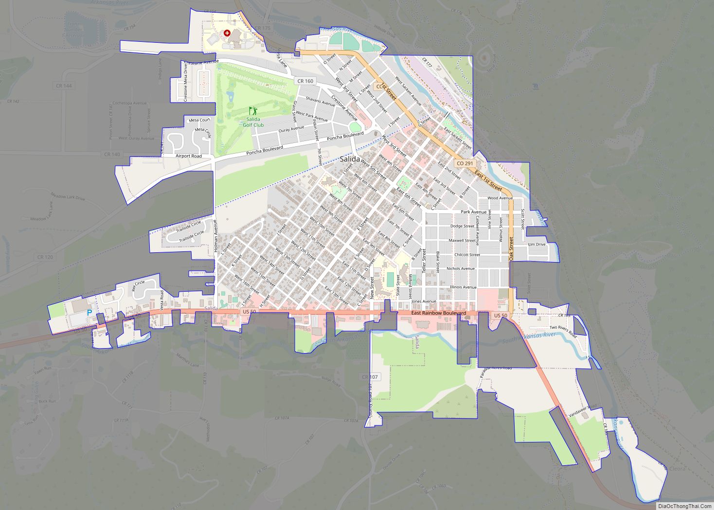
The City of Salida (/səˈlaɪdə/ sə-LY-də; Spanish: [saˈliða], “exit”) is the statutory city that is the county seat and the most populous municipality of Chaffee County, Colorado, United States. The population was 5,666 at the 2020 census. Salida city overview: Name: Salida city LSAD Code: 25 LSAD Description: city (suffix) State: Colorado County: Chaffee County ... Read more
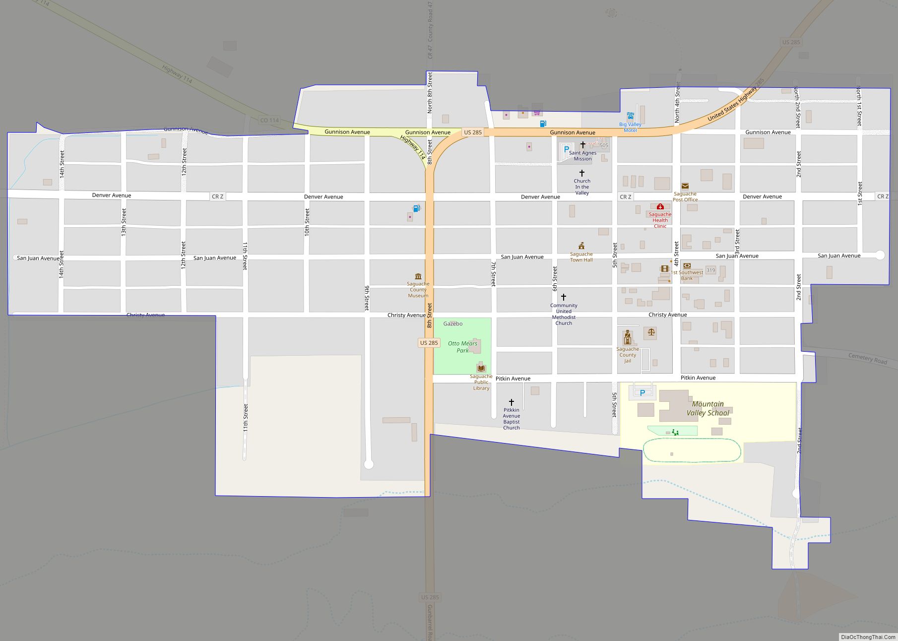
Saguache (sə-WAHTCH /səˈwɑːtʃ/ (listen)) is a Statutory Town in and the county seat of Saguache County, Colorado, United States. The population was 539 at the United States Census 2020. Saguache town overview: Name: Saguache town LSAD Code: 43 LSAD Description: town (suffix) State: Colorado County: Saguache County Incorporated: August 13, 1891 Elevation: 7,703 ft (2,348 m) Total ... Read more
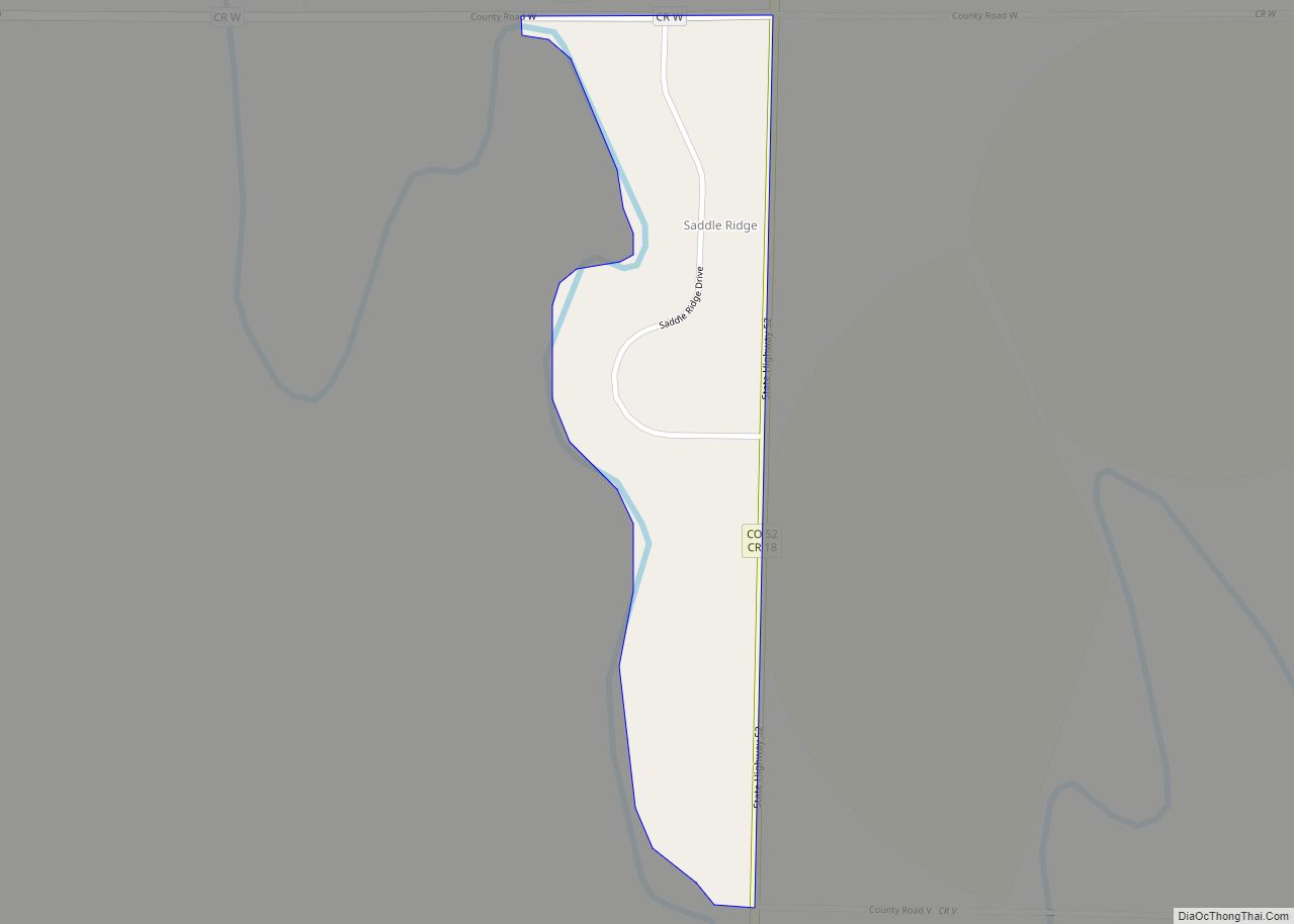
Saddle Ridge is an unincorporated community and a census-designated place (CDP) located in and governed by Morgan County, Colorado, United States. The CDP is a part of the Fort Morgan, CO Micropolitan Statistical Area. The population of the Saddle Ridge CDP was 66 at the United States Census 2020. The Fort Morgan post office (Zip ... Read more
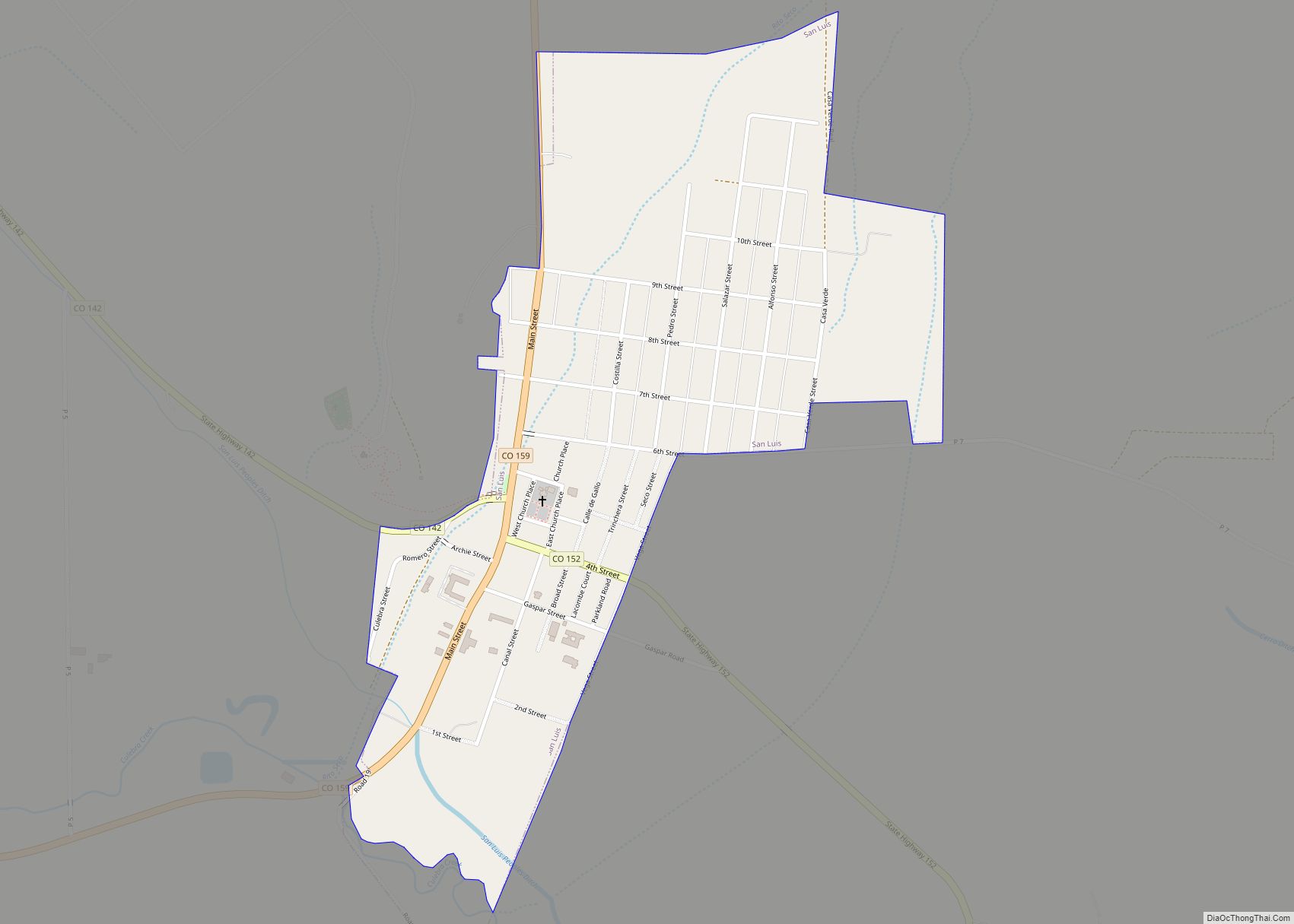
San Luis is a statutory town that is the county seat and the most populous town of Costilla County, Colorado, United States. Formerly known as San Luis de la Culebra, it is the oldest continuously occupied town in Colorado. The population was 598 at the 2020 census. San Luis town overview: Name: San Luis town ... Read more
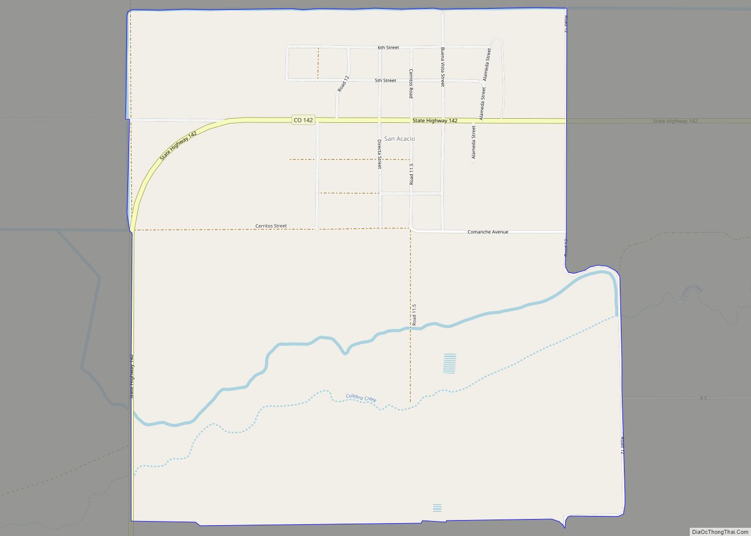
San Acacio is an unincorporated community and a census-designated place (CDP) located in and governed by Costilla County, Colorado, United States. The population of the San Acacio CDP was 56 at the 2020 United States census. The Sanford post office (Zip Code 81151) serves San Acacio postal addresses. San Acacio CDP overview: Name: San Acacio ... Read more
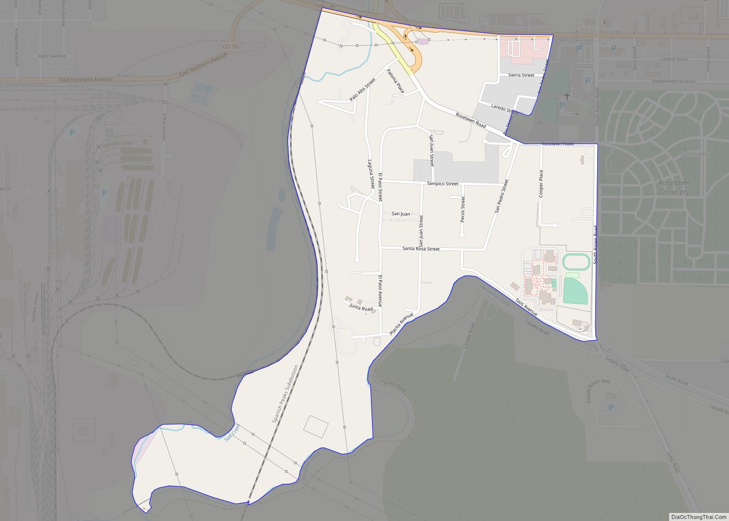
Salt Creek is an unincorporated community and a census-designated place (CDP) located in and governed by Pueblo County, Colorado, United States. The CDP is a part of the Pueblo, CO Metropolitan Statistical Area. The population of the Salt Creek CDP was 507 at the United States Census 2020. The Pueblo post office (Zip Code 81006) ... Read more
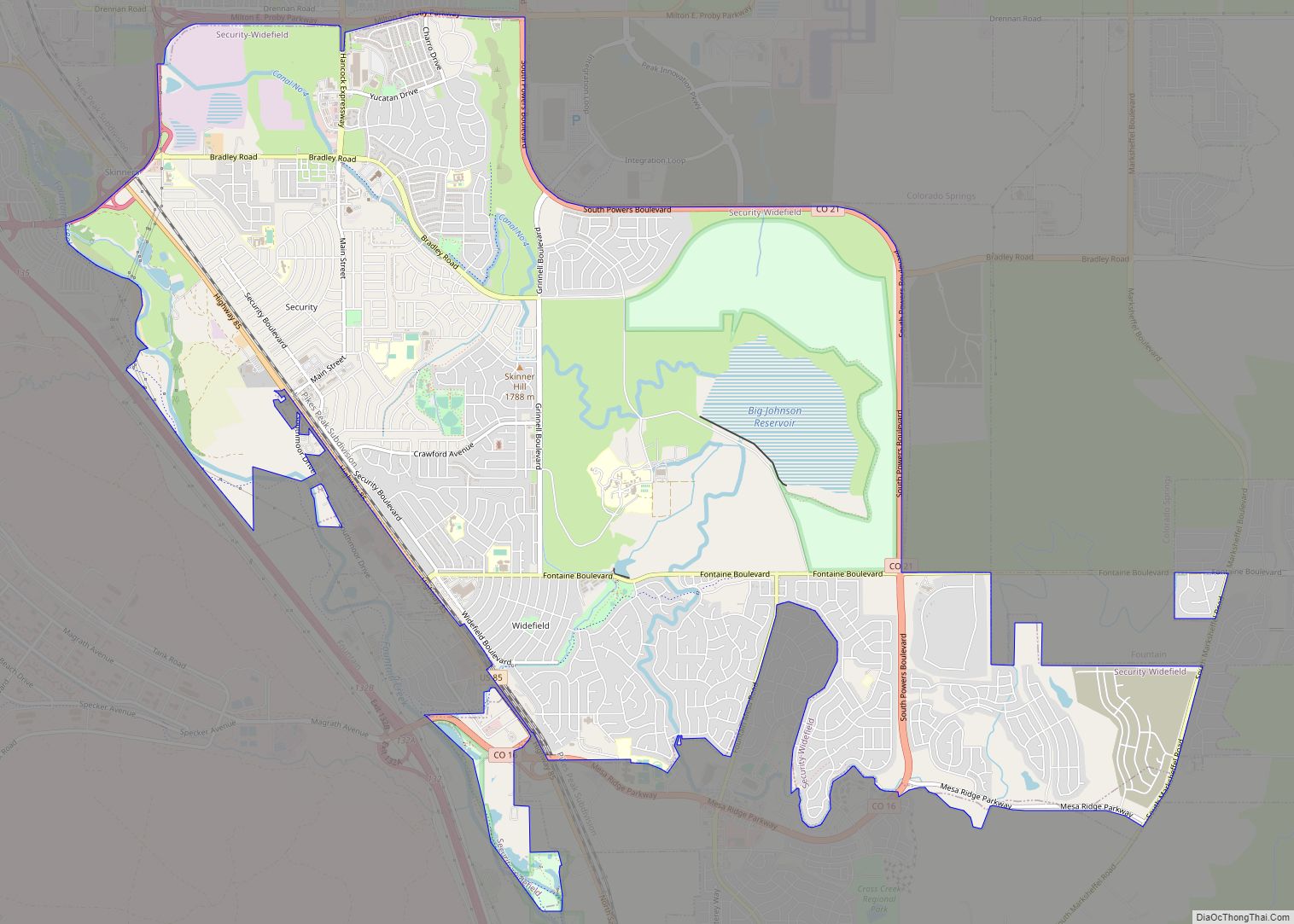
Security-Widefield is a census-designated place (CDP) comprising the unincorporated communities of Security and Widefield located in and governed by El Paso County, Colorado, United States. The CDP is a part of the Colorado Springs, CO Metropolitan Statistical Area. The population of the Security-Widefield CDP was 38,639 at the United States Census 2020. El Paso County ... Read more
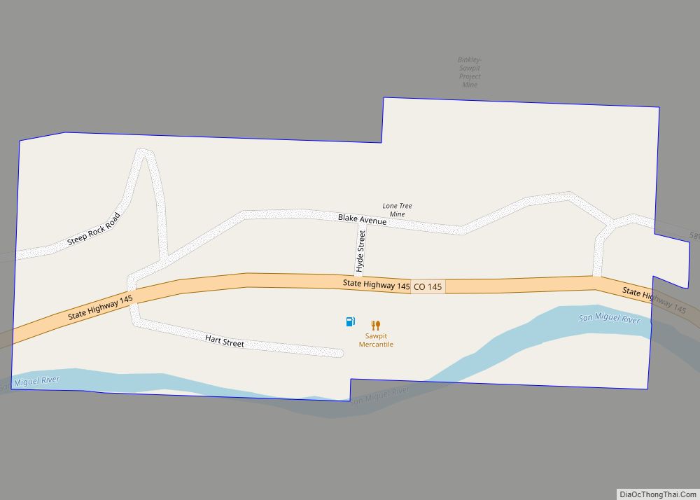
The Town of Sawpit is a Statutory Town in San Miguel County, Colorado, United States. The town population was 38 at the 2020 census, making Sawpit the fifth least populous incorporated town in the state of Colorado. The Telluride Post Office (ZIP Code 81435) serves Sawpit. Sawpit town overview: Name: Sawpit town LSAD Code: 43 ... Read more
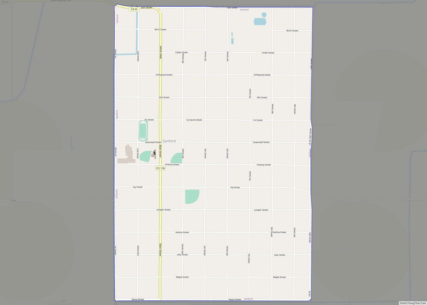
Sanford is a statutory town in Conejos County, Colorado, United States. The population was 879 at the 2020 census. A post office called Sanford has been in operation since 1888. The town was named after Silas Sanford Smith, a Mormon pioneer. Sanford town overview: Name: Sanford town LSAD Code: 43 LSAD Description: town (suffix) State: ... Read more
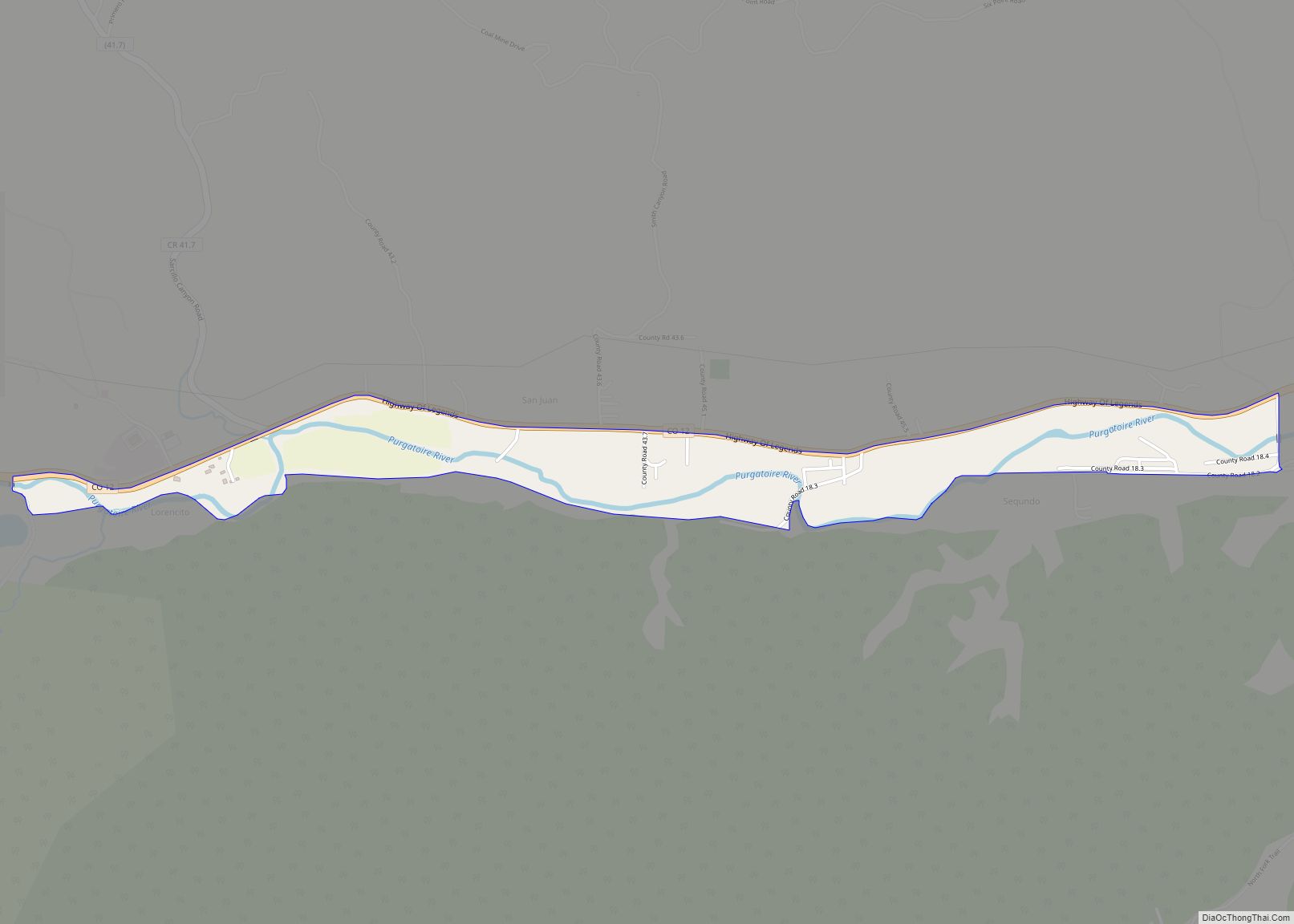
Segundo is an unincorporated community and a census-designated place (CDP) located in and governed by Las Animas County, Colorado, United States. The population of the Segundo CDP was 100 at the United States Census 2020. The Trinidad post office (Zip Code 81082) serves the area. Segundo CDP overview: Name: Segundo CDP LSAD Code: 57 LSAD ... Read more
