Romeo is a Statutory Town in Conejos County, Colorado, United States. The population was 302 at the 2020 census. A post office called Romeo was established in 1901. The community derives its name from the surname Romero.
| Name: | Romeo town |
|---|---|
| LSAD Code: | 43 |
| LSAD Description: | town (suffix) |
| State: | Colorado |
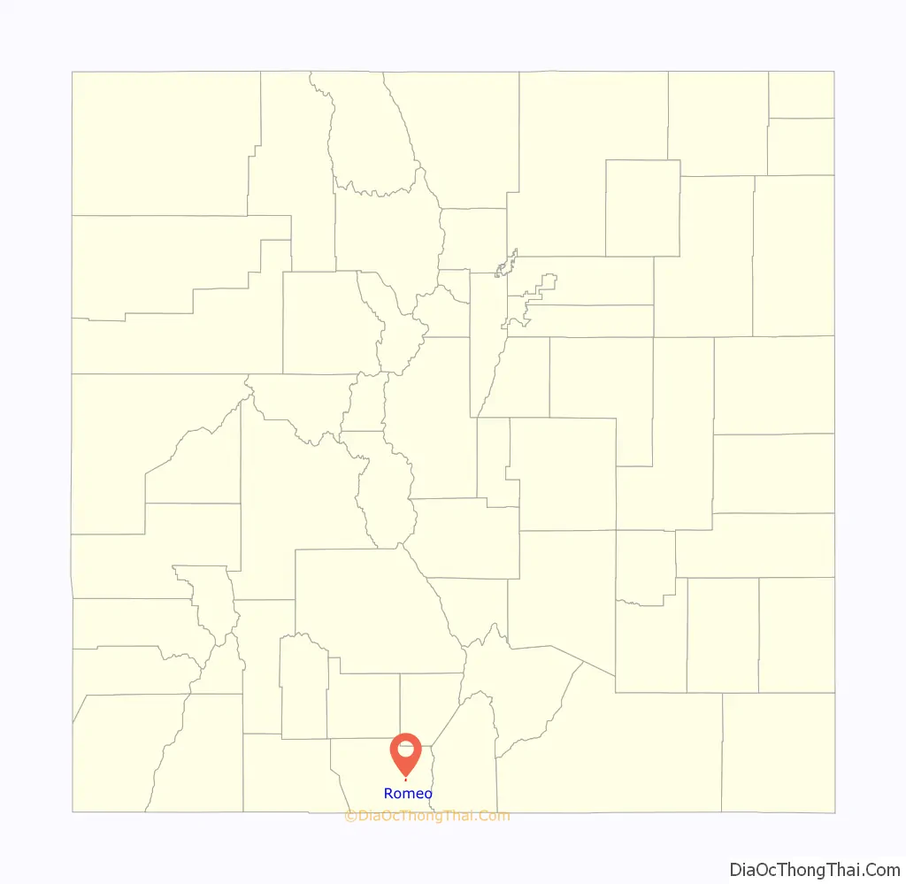
| County: | Conejos County |
| Elevation: | 7,736 ft (2,358 m) |
| Total Area: | 0.23 sq mi (0.60 km²) |
| Land Area: | 0.23 sq mi (0.60 km²) |
| Water Area: | 0.00 sq mi (0.00 km²) |
| Total Population: | 302 |
| Population Density: | 1,300/sq mi (500/km²) |
| ZIP code: | 81148 |
| Area code: | 719 |
| FIPS code: | 0865740 |
| GNISfeature ID: | 0192991 |
Online Interactive Map
Click on ![]() to view map in "full screen" mode.
to view map in "full screen" mode.
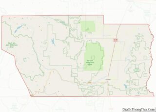
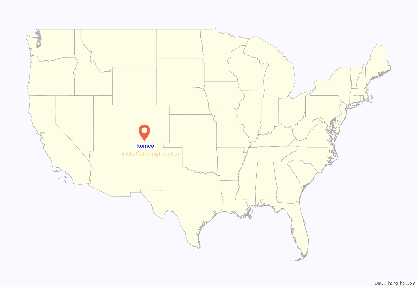
Romeo location map. Where is Romeo town?
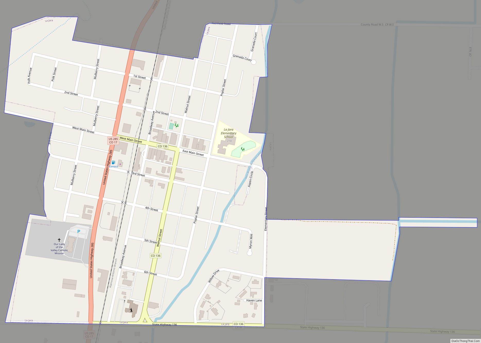
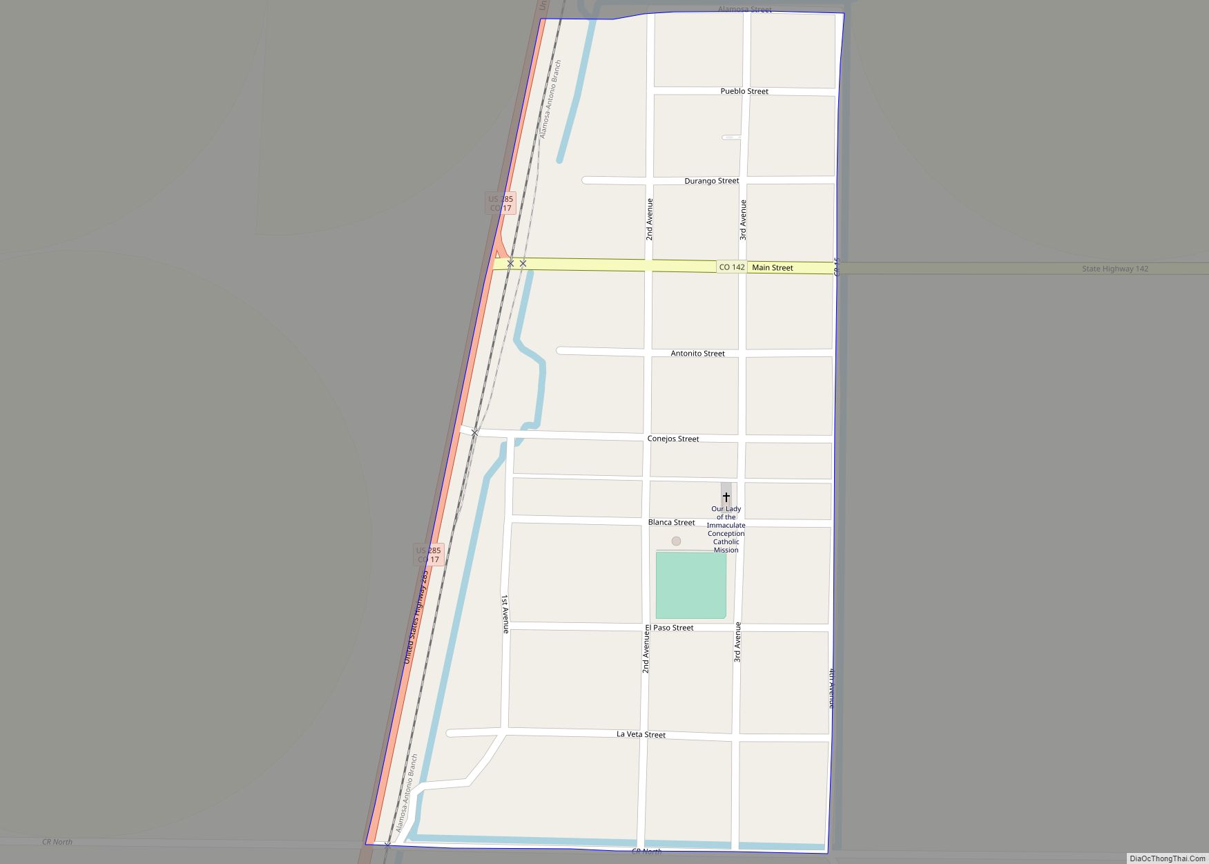
Romeo Road Map
Romeo city Satellite Map

Geography
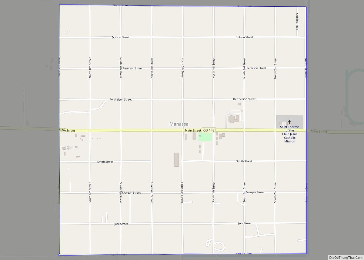
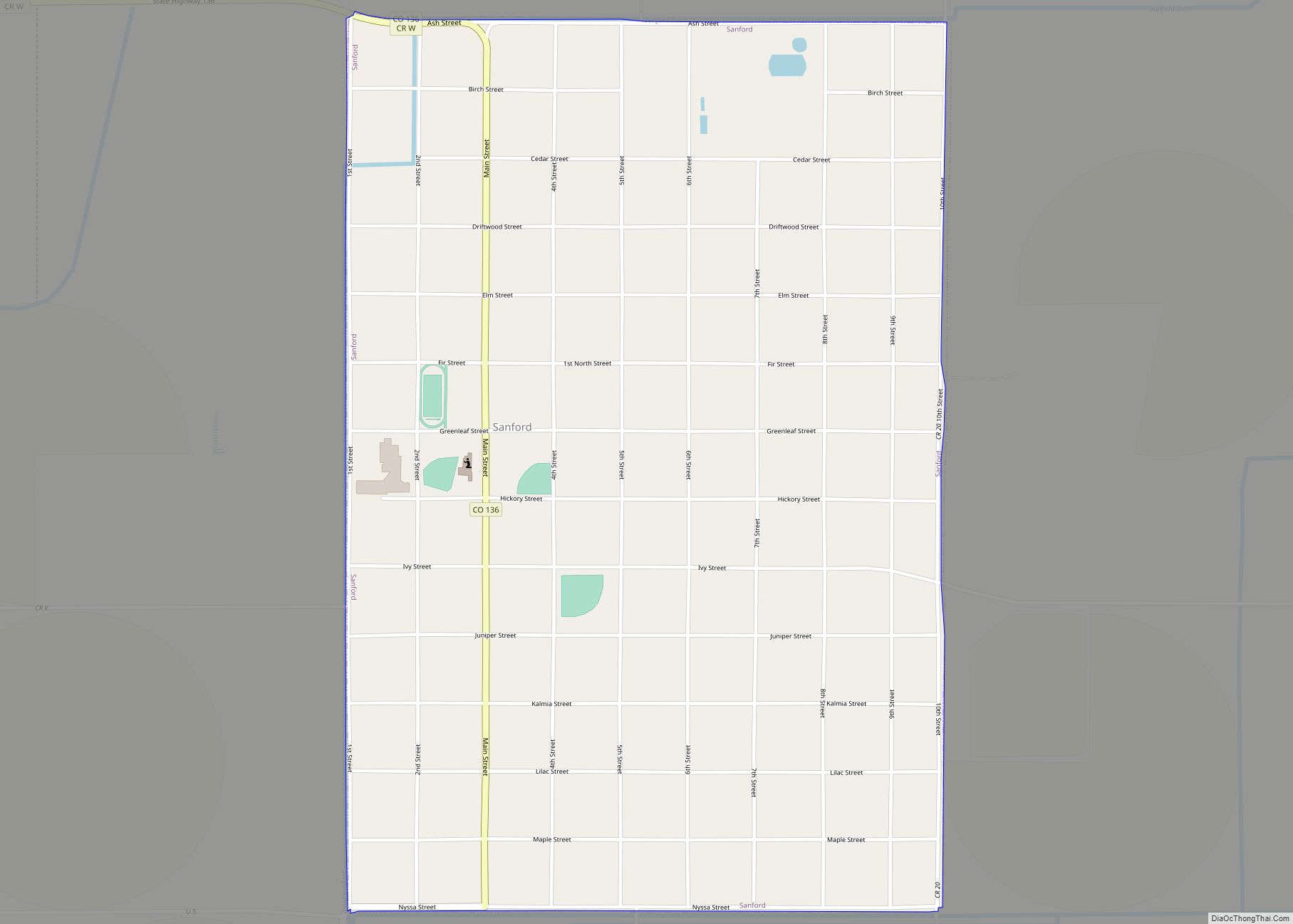
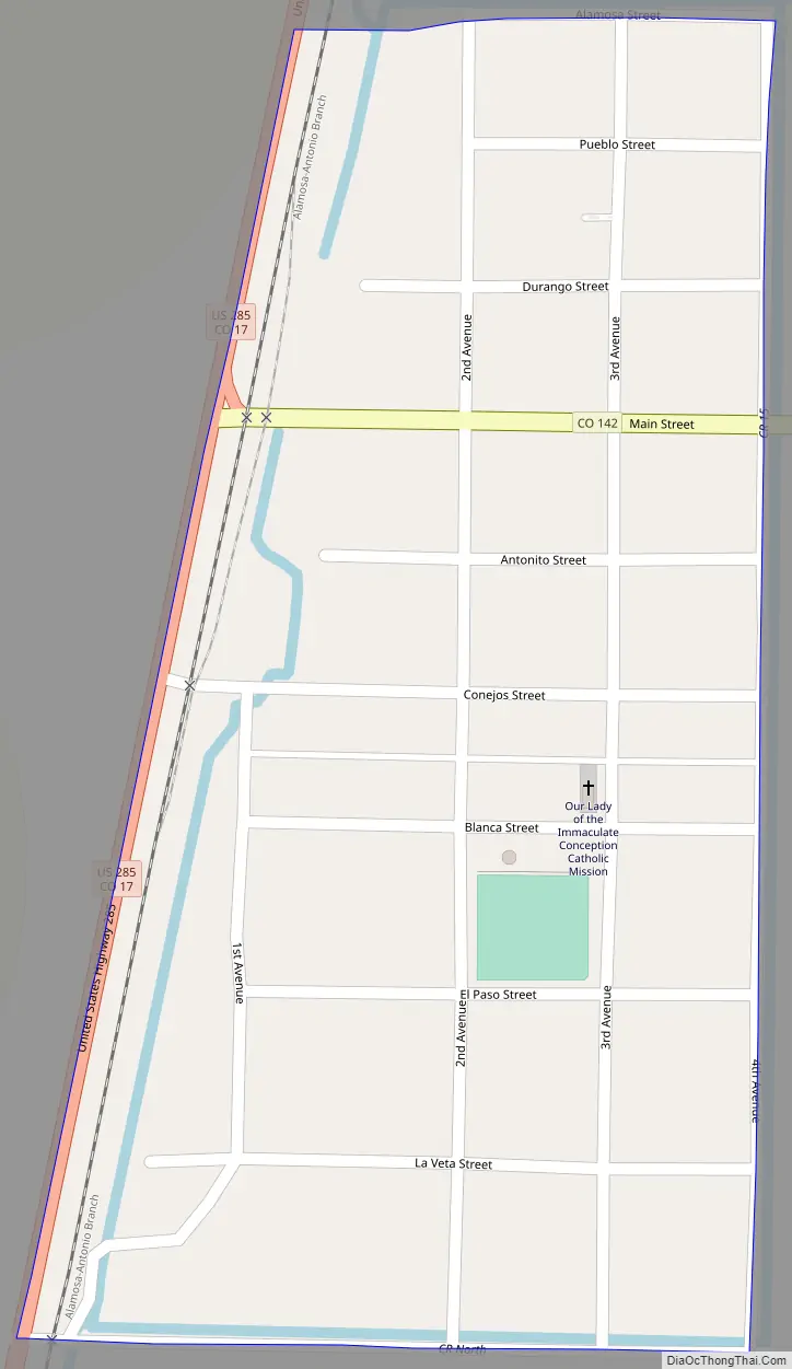
Romeo is located in east-central Conejos County at 37°10′21″N 105°59′5″W / 37.17250°N 105.98472°W / 37.17250; -105.98472 (37.172602, -105.984680), in the San Luis Valley region. U.S. Route 285 runs along the western border of the town, leading north 21 miles (34 km) to Alamosa and south 12 miles (19 km) to the New Mexico border and beyond. Colorado State Highway 142 is the town’s Main Street, with its western terminus at U.S. 285 and leading east 3 miles (5 km) to Manassa and 32 miles (51 km) to San Luis.
According to the United States Census Bureau, the town has a total area of 0.2 square miles (0.52 km), all of it land.
See also
Map of Colorado State and its subdivision:- Adams
- Alamosa
- Arapahoe
- Archuleta
- Baca
- Bent
- Boulder
- Broomfield
- Chaffee
- Cheyenne
- Clear Creek
- Conejos
- Costilla
- Crowley
- Custer
- Delta
- Denver
- Dolores
- Douglas
- Eagle
- El Paso
- Elbert
- Fremont
- Garfield
- Gilpin
- Grand
- Gunnison
- Hinsdale
- Huerfano
- Jackson
- Jefferson
- Kiowa
- Kit Carson
- La Plata
- Lake
- Larimer
- Las Animas
- Lincoln
- Logan
- Mesa
- Mineral
- Moffat
- Montezuma
- Montrose
- Morgan
- Otero
- Ouray
- Park
- Phillips
- Pitkin
- Prowers
- Pueblo
- Rio Blanco
- Rio Grande
- Routt
- Saguache
- San Juan
- San Miguel
- Sedgwick
- Summit
- Teller
- Washington
- Weld
- Yuma
- Alabama
- Alaska
- Arizona
- Arkansas
- California
- Colorado
- Connecticut
- Delaware
- District of Columbia
- Florida
- Georgia
- Hawaii
- Idaho
- Illinois
- Indiana
- Iowa
- Kansas
- Kentucky
- Louisiana
- Maine
- Maryland
- Massachusetts
- Michigan
- Minnesota
- Mississippi
- Missouri
- Montana
- Nebraska
- Nevada
- New Hampshire
- New Jersey
- New Mexico
- New York
- North Carolina
- North Dakota
- Ohio
- Oklahoma
- Oregon
- Pennsylvania
- Rhode Island
- South Carolina
- South Dakota
- Tennessee
- Texas
- Utah
- Vermont
- Virginia
- Washington
- West Virginia
- Wisconsin
- Wyoming