The City of Salida (/səˈlaɪdə/ sə-LY-də; Spanish: [saˈliða], “exit”) is the statutory city that is the county seat and the most populous municipality of Chaffee County, Colorado, United States. The population was 5,666 at the 2020 census.
| Name: | Salida city |
|---|---|
| LSAD Code: | 25 |
| LSAD Description: | city (suffix) |
| State: | Colorado |
| County: | Chaffee County |
| Founded: | 1880 |
| Incorporated: | March 23, 1891 |
| Elevation: | 7,083 ft (2,159 m) |
| Total Area: | 2.77 sq mi (7.17 km²) |
| Land Area: | 2.77 sq mi (7.17 km²) |
| Water Area: | 0.00 sq mi (0.00 km²) |
| Total Population: | 5,666 |
| Population Density: | 2,000/sq mi (790/km²) |
| ZIP code: | 81201, 81227 (PO Box), 81237 |
| Area code: | 719 |
| FIPS code: | 0867280 |
| GNISfeature ID: | 0204758 |
Online Interactive Map
Click on ![]() to view map in "full screen" mode.
to view map in "full screen" mode.
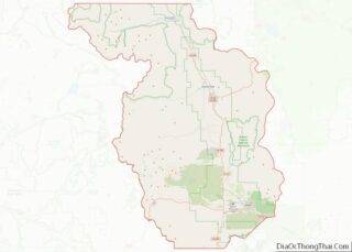
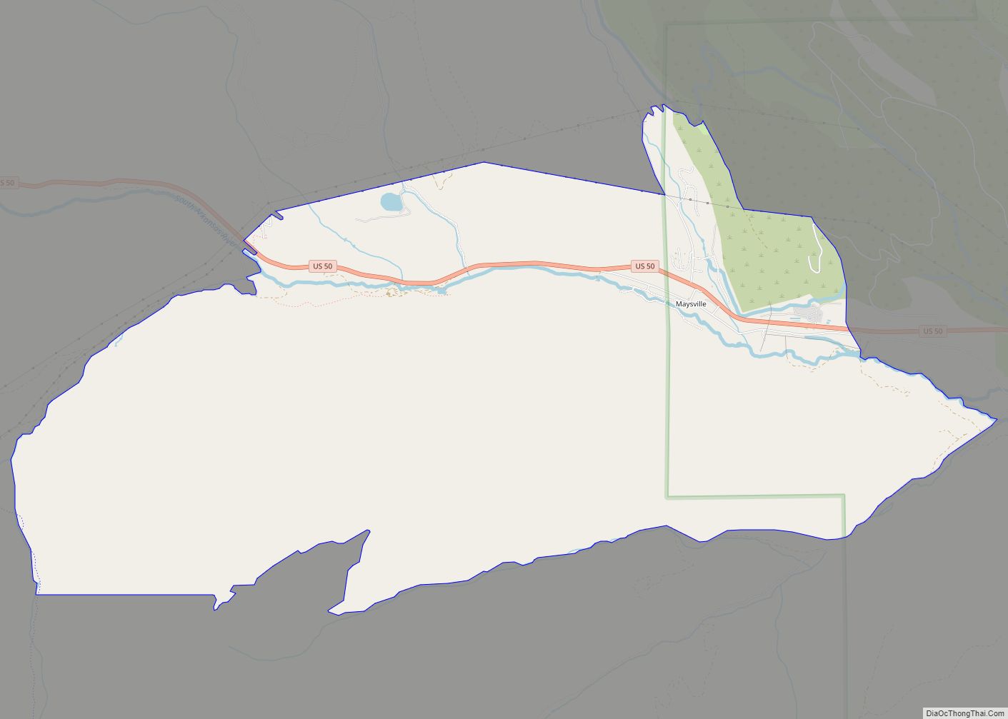
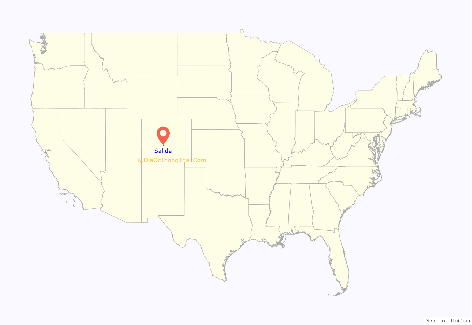
Salida location map. Where is Salida city?
History
A post office has been in operation at Salida since 1881. Salida, meaning “exit” in Spanish, was named on account of its location near the point where the Arkansas River flows out of the valley and into Bighorn Sheep Canyon, upstream from the Royal Gorge.
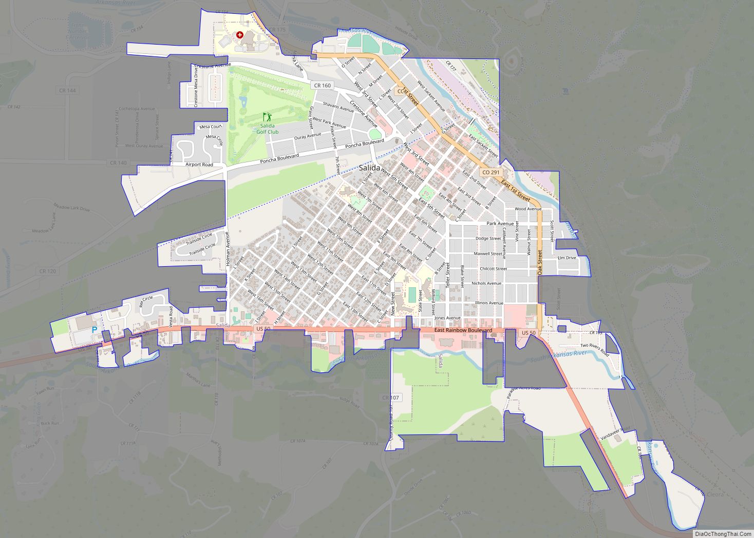
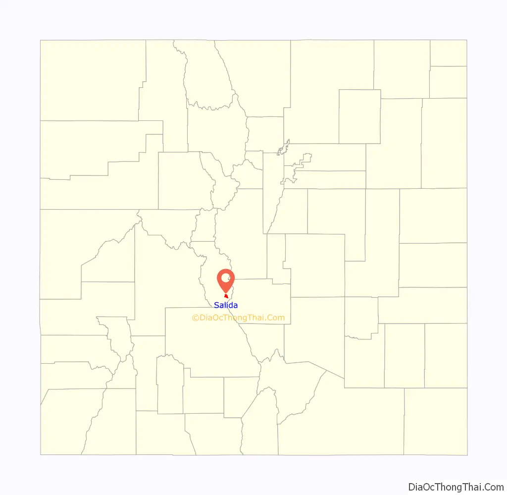
Salida Road Map

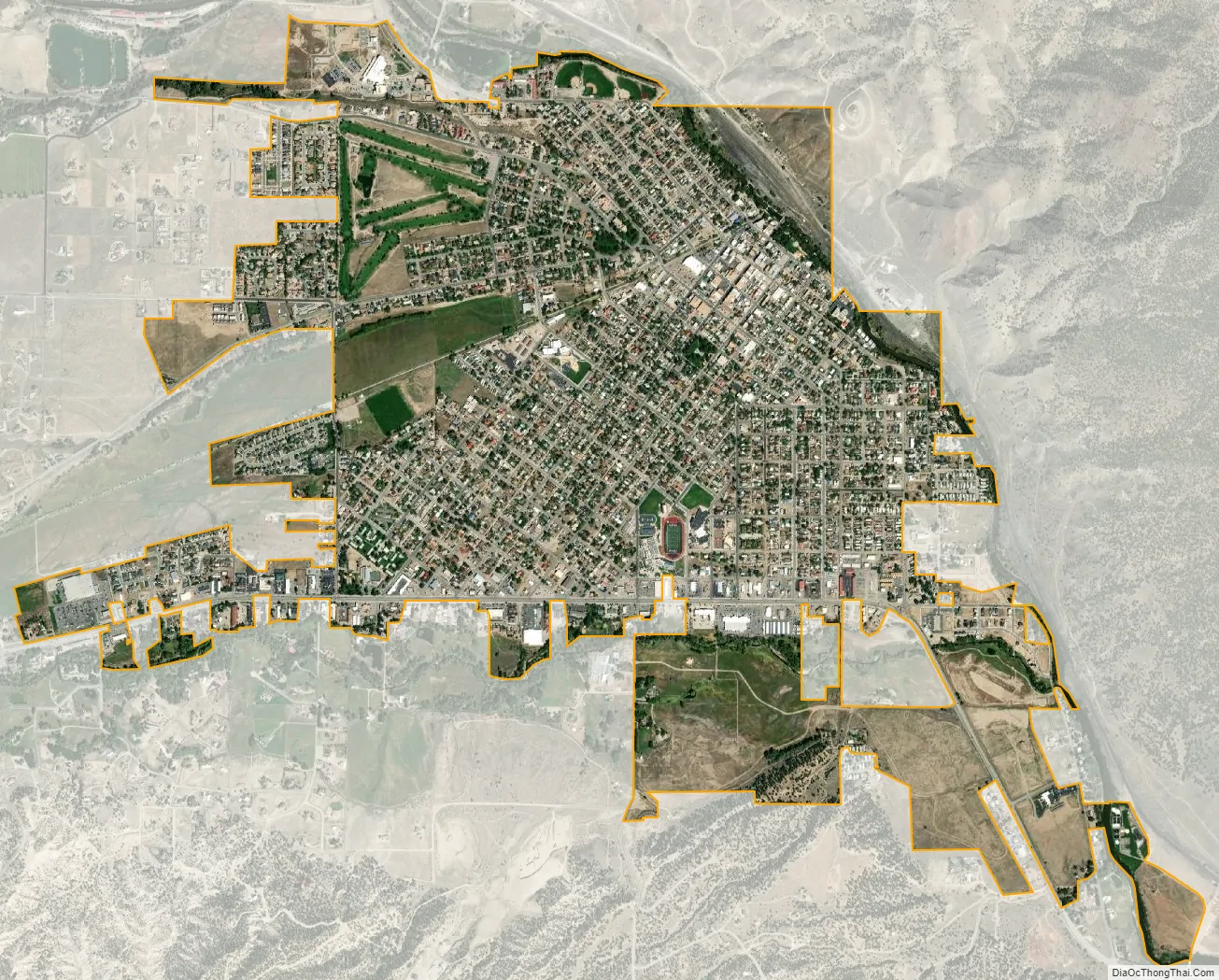
Salida city Satellite Map
Geography
According to the United States Census Bureau, the city has a total area of 2.77 square miles (7.2 km), and the Arkansas River, which runs through the town, is the major source of water for local agriculture.
The Sawatch Range runs north and south and is located roughly 10 miles (16 km) west of Salida. The Mosquito Range parallels the Sawatch Range to the east, forming the Upper Arkansas Valley, and the southern terminus of the range, just east of Salida, is known locally as the Arkansas Hills. Methodist Mountain, which is a major feature on Salida’s southern horizon, is the northernmost mountain in the Sangre de Cristo Mountains. To the north of Salida is the Upper Arkansas Valley and the town of Buena Vista.
U.S. Route 50 runs along the southern edge of the city and leads east down the Arkansas River 58 miles (93 km) to Cañon City; to the west it leads 4 miles (6 km) to Poncha Springs and 63 miles (101 km) over the Continental Divide to Gunnison. Canon City and Pueblo lie to the east.
Climate
According to the Köppen climate classification, Salida has a Cold semi-arid climate (BSk)
See also
Map of Colorado State and its subdivision:- Adams
- Alamosa
- Arapahoe
- Archuleta
- Baca
- Bent
- Boulder
- Broomfield
- Chaffee
- Cheyenne
- Clear Creek
- Conejos
- Costilla
- Crowley
- Custer
- Delta
- Denver
- Dolores
- Douglas
- Eagle
- El Paso
- Elbert
- Fremont
- Garfield
- Gilpin
- Grand
- Gunnison
- Hinsdale
- Huerfano
- Jackson
- Jefferson
- Kiowa
- Kit Carson
- La Plata
- Lake
- Larimer
- Las Animas
- Lincoln
- Logan
- Mesa
- Mineral
- Moffat
- Montezuma
- Montrose
- Morgan
- Otero
- Ouray
- Park
- Phillips
- Pitkin
- Prowers
- Pueblo
- Rio Blanco
- Rio Grande
- Routt
- Saguache
- San Juan
- San Miguel
- Sedgwick
- Summit
- Teller
- Washington
- Weld
- Yuma
- Alabama
- Alaska
- Arizona
- Arkansas
- California
- Colorado
- Connecticut
- Delaware
- District of Columbia
- Florida
- Georgia
- Hawaii
- Idaho
- Illinois
- Indiana
- Iowa
- Kansas
- Kentucky
- Louisiana
- Maine
- Maryland
- Massachusetts
- Michigan
- Minnesota
- Mississippi
- Missouri
- Montana
- Nebraska
- Nevada
- New Hampshire
- New Jersey
- New Mexico
- New York
- North Carolina
- North Dakota
- Ohio
- Oklahoma
- Oregon
- Pennsylvania
- Rhode Island
- South Carolina
- South Dakota
- Tennessee
- Texas
- Utah
- Vermont
- Virginia
- Washington
- West Virginia
- Wisconsin
- Wyoming