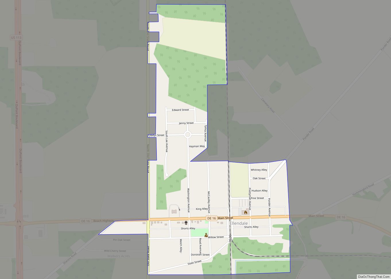
Ellendale is a town in Sussex County, Delaware, United States. The population was 487 at the 2020 census, an increase of 27.8% since the 2010 census, and a 48.9% increase since the year 2000. It is part of the Salisbury, Maryland-Delaware Metropolitan Statistical Area. Ellendale is the “Gateway to Delaware’s Resort Beaches” because it is ... Read more
Delaware Cities and Places
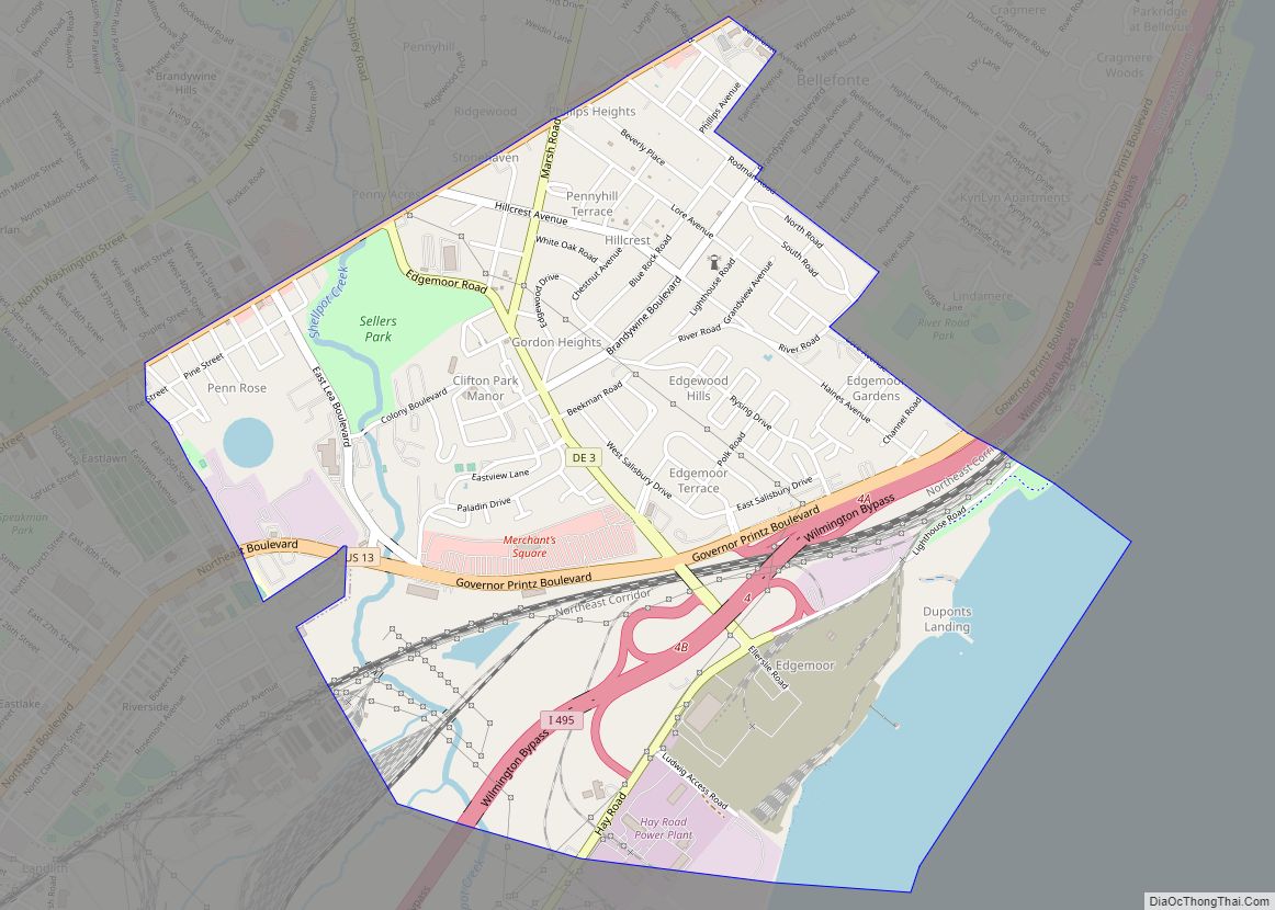
Edgemoor is a census-designated place in New Castle County, Delaware, United States. The population was 5,677 at the 2010 census. Edgemoor CDP overview: Name: Edgemoor CDP LSAD Code: 57 LSAD Description: CDP (suffix) State: Delaware County: New Castle County Elevation: 30 ft (9 m) Total Area: 2.18 sq mi (5.64 km²) Land Area: 1.92 sq mi (4.97 km²) Water Area: 0.26 sq mi (0.67 km²) Total ... Read more
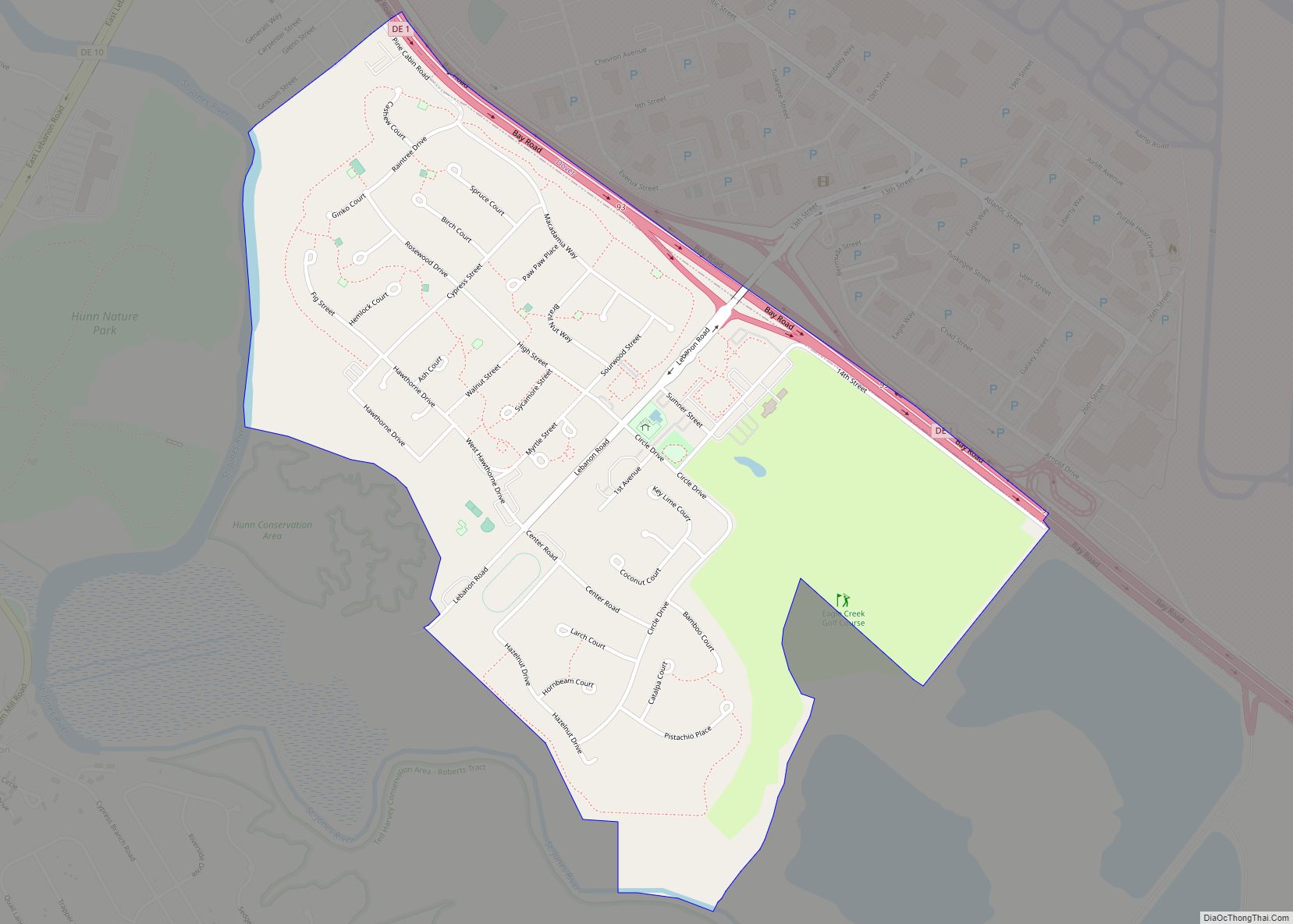
Dover Air Force Base or Dover AFB (IATA: DOV, ICAO: KDOV, FAA LID: DOV) is a United States Air Force (USAF) base under the operational control of Air Mobility Command (AMC), located 2 miles (3.2 km) southeast of the city of Dover, Delaware. The 436th Airlift Wing is the host wing and runs the busiest and ... Read more
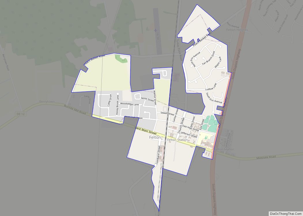
Felton is a town in Kent County, Delaware, United States. It is part of the Dover metropolitan statistical area. The population was 1,500 in 2020. Felton town overview: Name: Felton town LSAD Code: 43 LSAD Description: town (suffix) State: Delaware County: Kent County Incorporated: February 2, 1861 Elevation: 56 ft (17 m) Total Area: 0.78 sq mi (2.02 km²) Land ... Read more
Farmington is a town in Kent County, Delaware, United States. It is part of the Dover, Delaware Metropolitan Statistical Area. The population was 92 in 2020. Farmington town overview: Name: Farmington town LSAD Code: 43 LSAD Description: town (suffix) State: Delaware County: Kent County Elevation: 62 ft (19 m) Total Area: 0.07 sq mi (0.19 km²) Land Area: 0.07 sq mi (0.19 km²) ... Read more
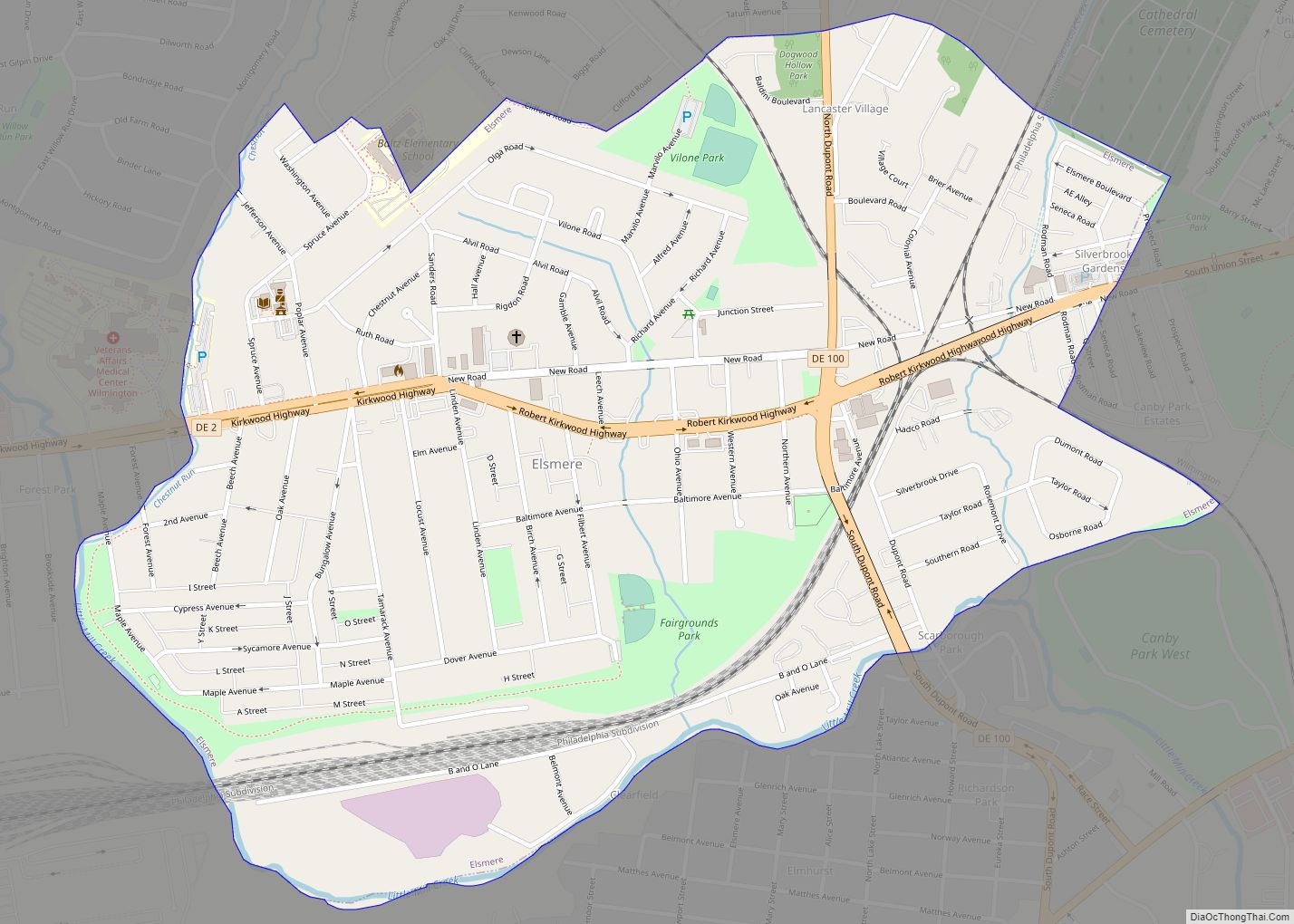
Elsmere is a town in New Castle County, Delaware, United States, bordering the city of Wilmington along Wilmington’s western border. According to the 2010 Census, the population of the town is 6,131. Elsmere town overview: Name: Elsmere town LSAD Code: 43 LSAD Description: town (suffix) State: Delaware County: New Castle County Incorporated: 1909 Elevation: 98 ft ... Read more
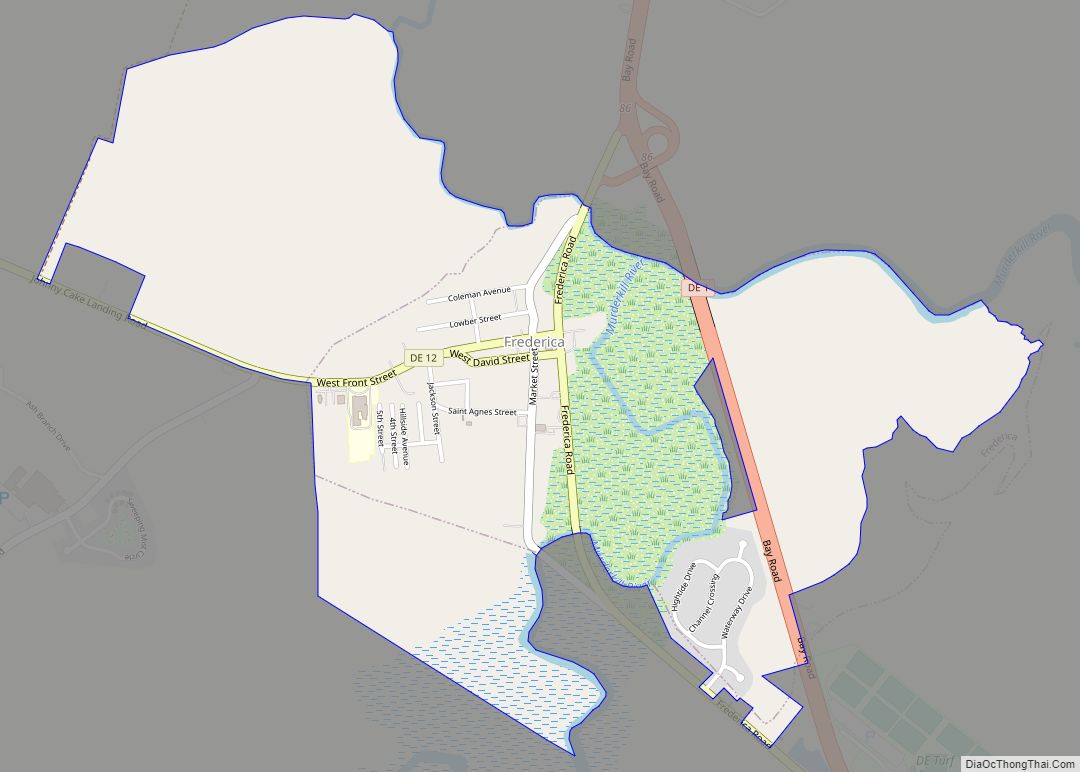
Frederica is a town in Kent County, Delaware, United States. It is part of the Dover, Delaware Metropolitan Statistical Area. The population was 1,073 in 2020. ILC Dover, the company which manufactured the spacesuits for the Apollo and Skylab astronauts of the 1960s and 1970s, along with fabricating the suit component of the Space Shuttle’s ... Read more
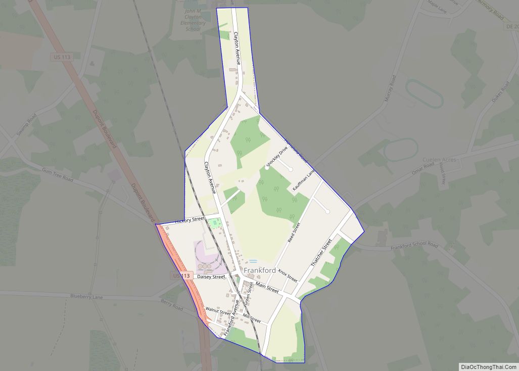
Frankford is a town in Sussex County, Delaware, United States. The population was 847 at the 2010 census, an increase of 18.6% over the previous decade. It is part of the Salisbury, Maryland-Delaware Metropolitan Statistical Area. Frankford town overview: Name: Frankford town LSAD Code: 43 LSAD Description: town (suffix) State: Delaware County: Sussex County Elevation: ... Read more
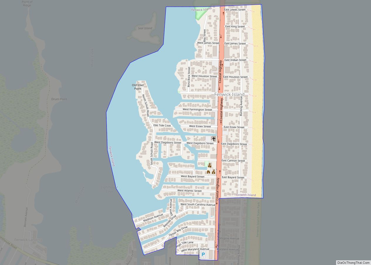
Fenwick Island is a coastal resort town in Sussex County, Delaware, United States. According to 2020 census figures, the population of the town is 355, a 2.6% decrease over the last decade. It is part of the Salisbury, Maryland-Delaware Metropolitan Statistical Area. The town is located on Fenwick Island, a barrier spit. Fenwick Island and ... Read more
Greenville is a bedroom community in New Castle County, Delaware, United States, and a suburb of Wilmington. The population was 2,326 at the 2010 census. For statistical purposes, the United States Census Bureau has defined Greenville as a census-designated place (CDP). The community is also home to the private residence of Joe Biden, the current ... Read more
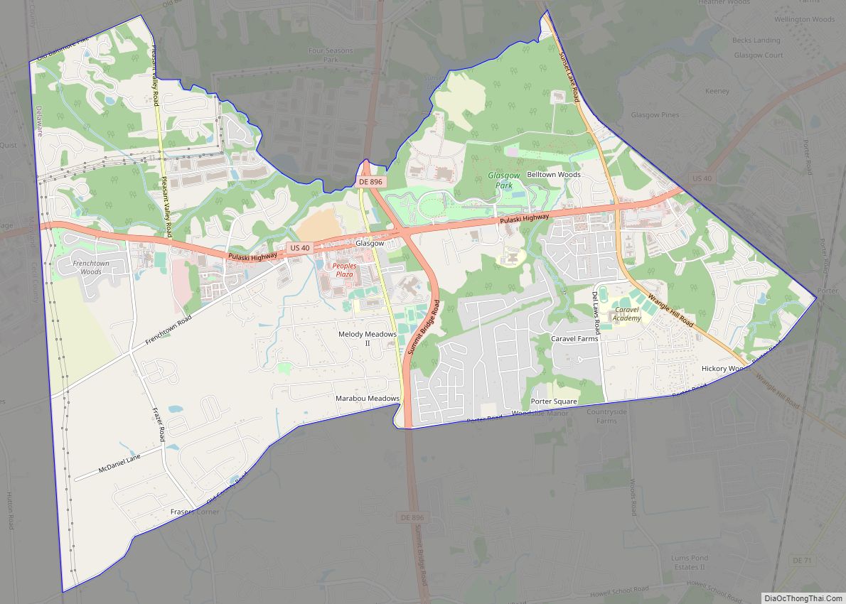
Glasgow is a census-designated place (CDP) in New Castle County, Delaware, United States. The population was 14,303 at the 2010 census. Glasgow CDP overview: Name: Glasgow CDP LSAD Code: 57 LSAD Description: CDP (suffix) State: Delaware County: New Castle County Elevation: 69 ft (21 m) Total Area: 9.93 sq mi (25.71 km²) Land Area: 9.93 sq mi (25.71 km²) Water Area: 0.00 sq mi (0.00 km²) ... Read more
Georgetown is a town and the county seat of Sussex County, Delaware, United States. According to the 2010 census, the population of the town is 6,422, an increase of 38.3% over the previous decade. Georgetown is part of the Salisbury, Maryland-Delaware Metropolitan Statistical Area. Georgetown town overview: Name: Georgetown town LSAD Code: 43 LSAD Description: ... Read more
