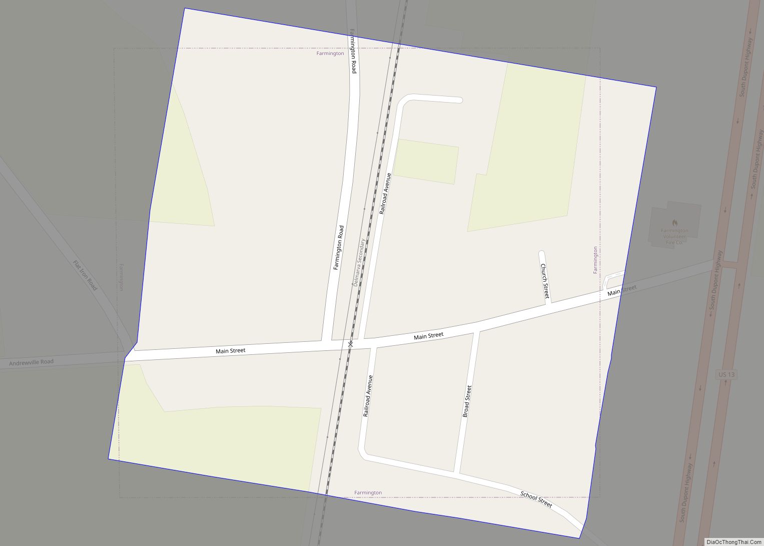
Farmington is a town in Kent County, Delaware, United States. It is part of the Dover, Delaware Metropolitan Statistical Area. The population was 92 in 2020.
| Name: | Farmington town |
|---|---|
| LSAD Code: | 43 |
| LSAD Description: | town (suffix) |
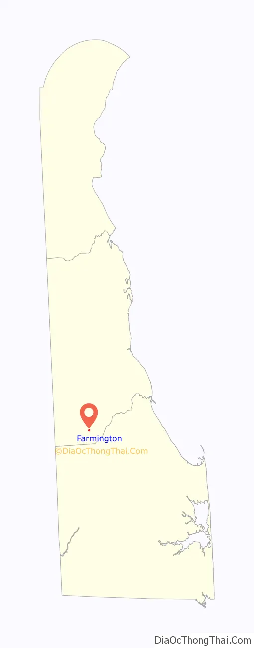
| State: | Delaware |
| County: | Kent County |
| Elevation: | 62 ft (19 m) |
| Total Area: | 0.07 sq mi (0.19 km²) |
| Land Area: | 0.07 sq mi (0.19 km²) |
| Water Area: | 0.00 sq mi (0.00 km²) |
| Total Population: | 92 |
| Population Density: | 1,260.27/sq mi (488.48/km²) |
| ZIP code: | 19950 |
| Area code: | 302 |
| FIPS code: | 1025840 |
| GNISfeature ID: | 213949 |
Online Interactive Map
Click on ![]() to view map in "full screen" mode.
to view map in "full screen" mode.
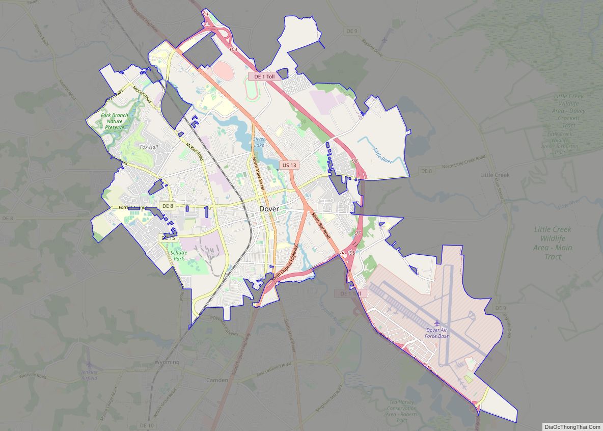
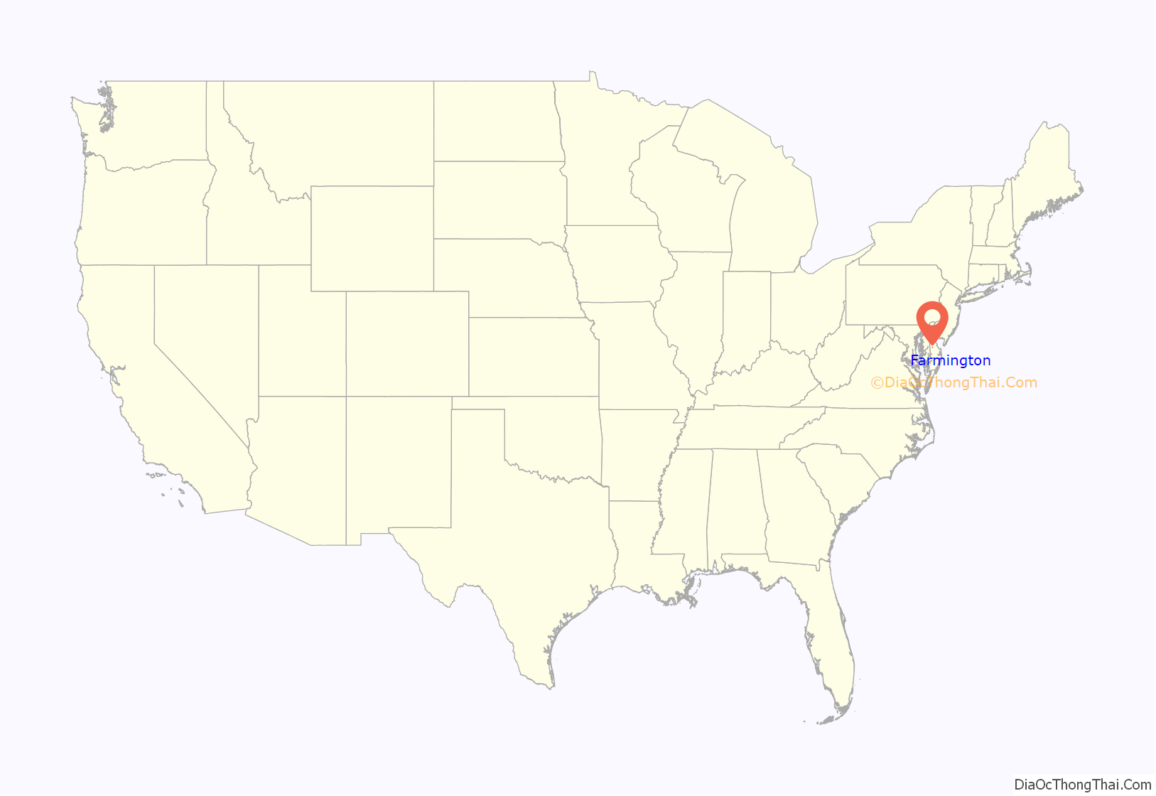
Farmington location map. Where is Farmington town?
History
Farmington was originally settled as Flatiron in 1855 when the railroad built a station at a crossroads at this location. A post office was established in 1858. The town was the location of the Farmington Academy from 1868 to 1878. Farmington had 300 people in the 1880s and was home to canning and fruit-evaporating plants. The Tharp House was listed on the National Register of Historic Places in 1973. Farmington formerly had a post office with a ZIP code of 19942; however, the post office closed and the ZIP code was discontinued on January 13, 1996. Farmington is currently served by the Greenwood post office with a ZIP code of 19950.
Farmington Road Map

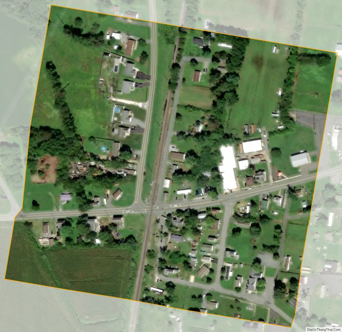
Farmington city Satellite Map
Geography
According to the United States Census Bureau, the town has a total area of 0.1 square miles (0.26 km), all land.
See also
Map of Delaware State and its subdivision: Map of other states:- Alabama
- Alaska
- Arizona
- Arkansas
- California
- Colorado
- Connecticut
- Delaware
- District of Columbia
- Florida
- Georgia
- Hawaii
- Idaho
- Illinois
- Indiana
- Iowa
- Kansas
- Kentucky
- Louisiana
- Maine
- Maryland
- Massachusetts
- Michigan
- Minnesota
- Mississippi
- Missouri
- Montana
- Nebraska
- Nevada
- New Hampshire
- New Jersey
- New Mexico
- New York
- North Carolina
- North Dakota
- Ohio
- Oklahoma
- Oregon
- Pennsylvania
- Rhode Island
- South Carolina
- South Dakota
- Tennessee
- Texas
- Utah
- Vermont
- Virginia
- Washington
- West Virginia
- Wisconsin
- Wyoming