Fenwick Island is a coastal resort town in Sussex County, Delaware, United States. According to 2020 census figures, the population of the town is 355, a 2.6% decrease over the last decade. It is part of the Salisbury, Maryland-Delaware Metropolitan Statistical Area. The town is located on Fenwick Island, a barrier spit.
Fenwick Island and its neighbors to the north, Bethany Beach and South Bethany, are popularly known as “The Quiet Resorts”. This is in contrast to the wild atmosphere of Dewey Beach and the cosmopolitan bustle of Rehoboth Beach. Fenwick Island, however, is somewhat less “quiet” than “the Bethanies” because it is immediately across the state line from Ocean City, Maryland, which has a reputation as a lively vacation resort.
Named after Thomas Fenwick, a planter from England who settled in Maryland, Fenwick Island lay in the part of Delaware which was claimed by Lord Baltimore and his heirs during the Penn-Baltimore border dispute.
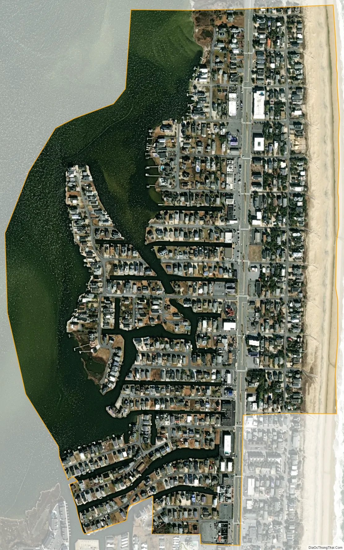
Contrary to popular belief, the town does not sit on a barrier island but on a narrow peninsula which resembles a barrier island (unless one considers a narrow man-made boat canal well inland that connects White Creek to Little Assawoman Bay). The narrow strip of land separates the Atlantic Ocean from Little Assawoman Bay. Ocean City, Maryland, occupies the southern tip of this peninsula.
Local legend has it that Cedar Island in Little Assawoman Bay was a spot for pirates to bury treasure. Regardless of the truth of the legend, the Delaware coastal area was well known as a place for pirates to hide from the law. Cedar Island has just about washed under the bay, as Seal Island did around 2010.
The town was an unincorporated area between South Bethany and Ocean City, Maryland, until July 1953, when the Delaware General Assembly passed an act to incorporate the town. Local sentiment demanded incorporation to prevent the relentless high-rise development of Ocean City from creeping north into Fenwick Island.
Fenwick Island’s population was 48 in 1960.
| Name: | Fenwick Island town |
|---|---|
| LSAD Code: | 43 |
| LSAD Description: | town (suffix) |
| State: | Delaware |
| County: | Sussex County |
| Elevation: | 7 ft (2 m) |
| Total Area: | 0.48 sq mi (1.26 km²) |
| Land Area: | 0.33 sq mi (0.86 km²) |
| Water Area: | 0.15 sq mi (0.40 km²) |
| Total Population: | 343 |
| Population Density: | 1,036.25/sq mi (399.69/km²) |
| ZIP code: | 19944, 19975 |
| Area code: | 302 |
| FIPS code: | 1026880 |
| GNISfeature ID: | 213954 |
| Website: | www.fenwickisland.delaware.gov |
Online Interactive Map
Click on ![]() to view map in "full screen" mode.
to view map in "full screen" mode.
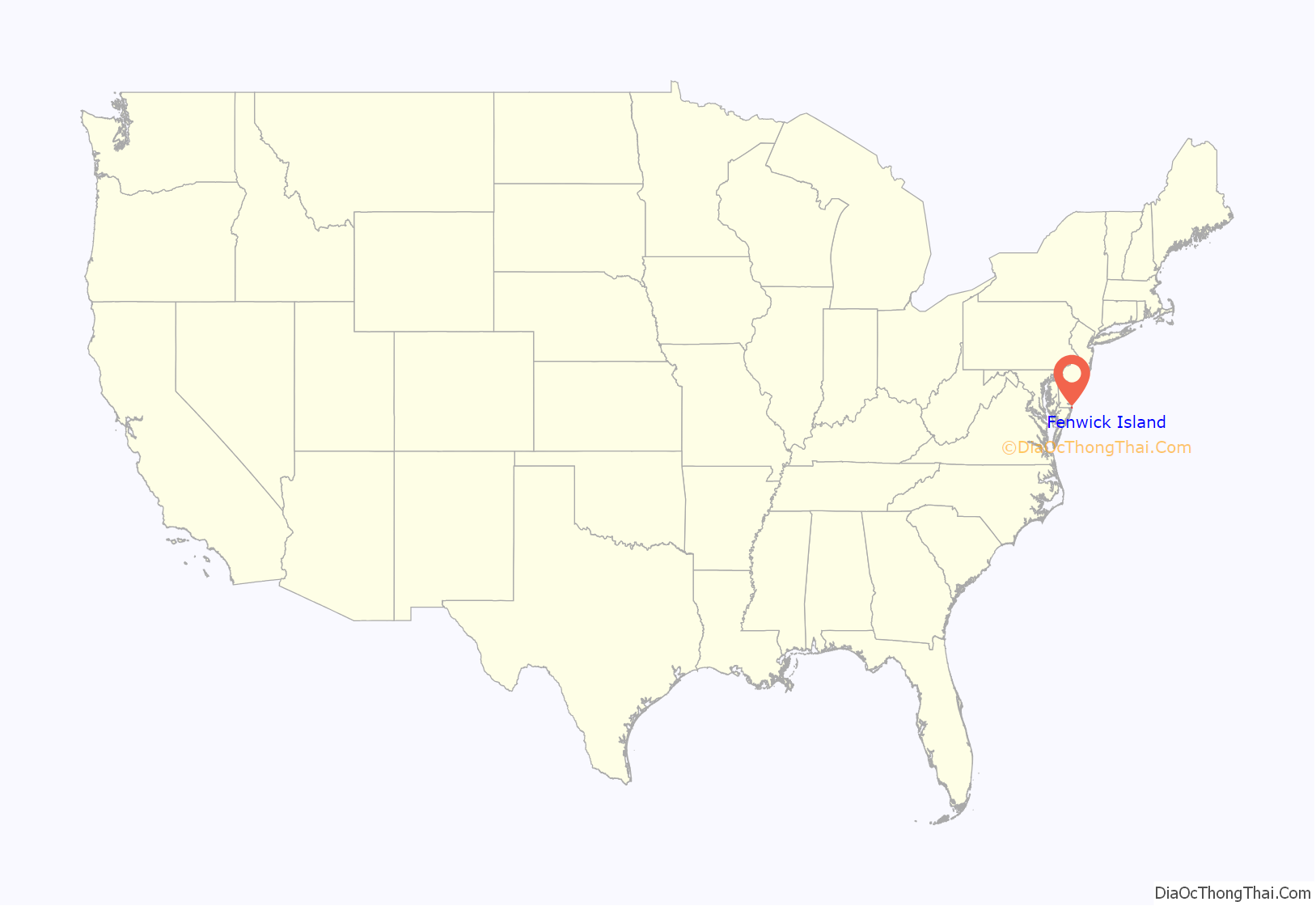
Fenwick Island location map. Where is Fenwick Island town?
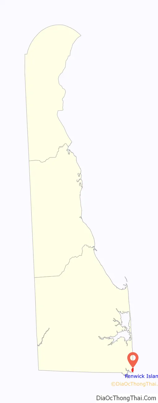
Fenwick Island Road Map

Fenwick Island city Satellite Map
Geography
Fenwick Island is located at 38°27′44″N 75°03′05″W / 38.46222°N 75.05139°W / 38.46222; -75.05139 (38.4623346, –75.0512922).
According to the United States Census Bureau, the town has a total area of 0.5 square miles (1.3 km), of which 0.3 square miles (0.78 km) is land and 0.1 square miles (0.26 km) (28.57%) is water.
Climate
The climate in this area is characterized by hot, humid summers and generally mild to cool winters. According to the Köppen Climate Classification system, Fenwick Island has a humid subtropical climate, abbreviated Cfa on climate maps.
See also
Map of Delaware State and its subdivision: Map of other states:- Alabama
- Alaska
- Arizona
- Arkansas
- California
- Colorado
- Connecticut
- Delaware
- District of Columbia
- Florida
- Georgia
- Hawaii
- Idaho
- Illinois
- Indiana
- Iowa
- Kansas
- Kentucky
- Louisiana
- Maine
- Maryland
- Massachusetts
- Michigan
- Minnesota
- Mississippi
- Missouri
- Montana
- Nebraska
- Nevada
- New Hampshire
- New Jersey
- New Mexico
- New York
- North Carolina
- North Dakota
- Ohio
- Oklahoma
- Oregon
- Pennsylvania
- Rhode Island
- South Carolina
- South Dakota
- Tennessee
- Texas
- Utah
- Vermont
- Virginia
- Washington
- West Virginia
- Wisconsin
- Wyoming


