Georgetown is a town and the county seat of Sussex County, Delaware, United States. According to the 2010 census, the population of the town is 6,422, an increase of 38.3% over the previous decade.
Georgetown is part of the Salisbury, Maryland-Delaware Metropolitan Statistical Area.
| Name: | Georgetown town |
|---|---|
| LSAD Code: | 43 |
| LSAD Description: | town (suffix) |
| State: | Delaware |
| County: | Sussex County |
| Founded: | 1791 |
| Elevation: | 52 ft (16 m) |
| Total Area: | 5.02 sq mi (13.01 km²) |
| Land Area: | 5.02 sq mi (13.01 km²) |
| Water Area: | 0.00 sq mi (0.00 km²) |
| Total Population: | 7,134 |
| Population Density: | 1,420.55/sq mi (548.50/km²) |
| ZIP code: | 19947 |
| Area code: | 302 |
| FIPS code: | 1029090 |
| GNISfeature ID: | 213993 |
| Website: | www.georgetowndel.com |
Online Interactive Map
Click on ![]() to view map in "full screen" mode.
to view map in "full screen" mode.
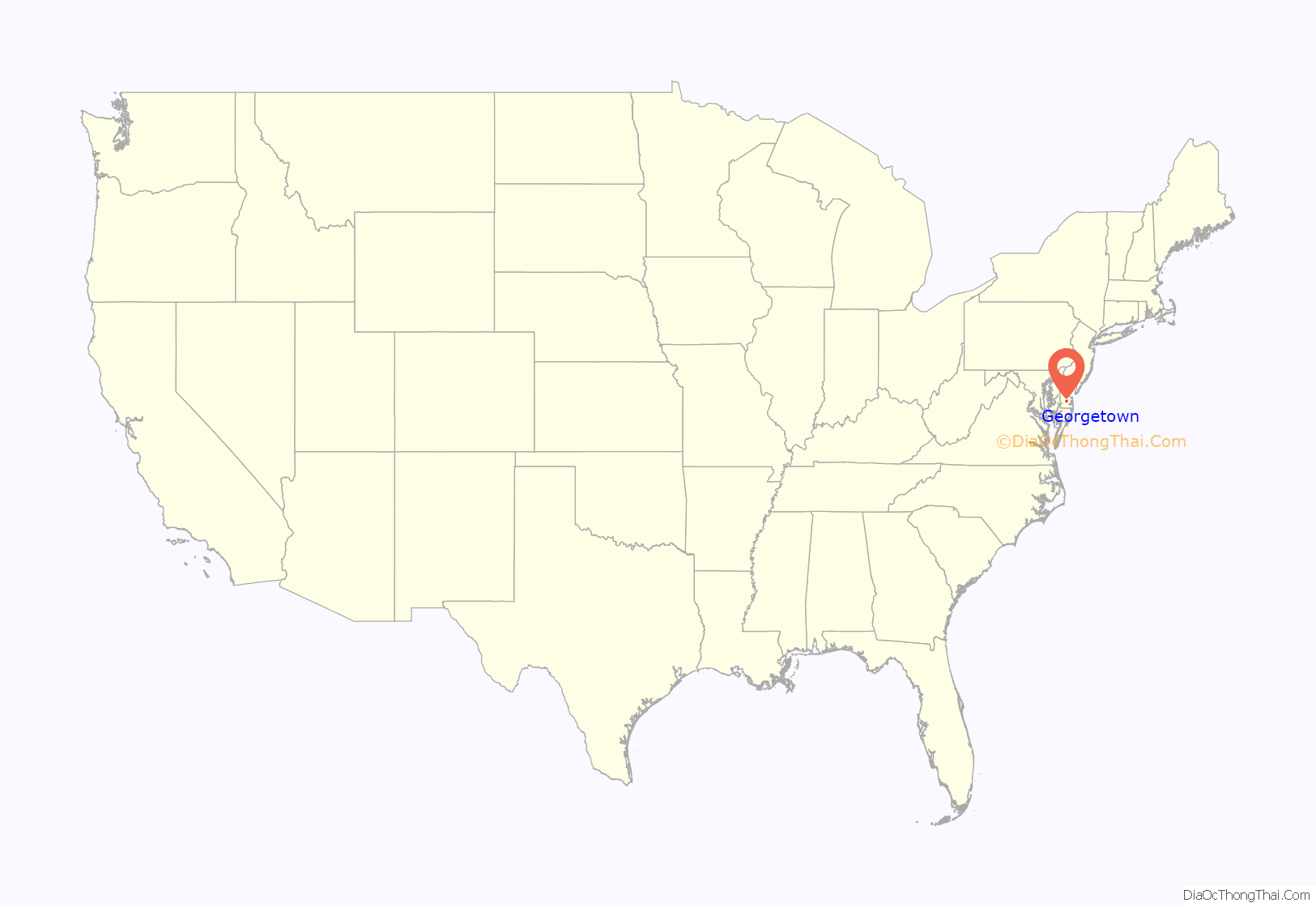
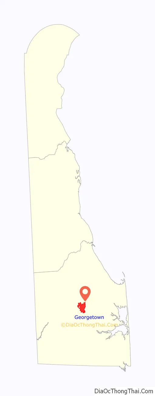
Georgetown location map. Where is Georgetown town?
History
Second county seat
Lewes, sited on the Delaware Bay, was designated as the first county seat. It was the first colony in Delaware, founded by the Dutch in 1631, and it remained the only significant European settlement in the region for some time. When English colonist William Penn organized the three southern counties of Pennsylvania, which are now Delaware, Lewes was the natural choice for the location of the Sussex County’s Seat of Justice.
Sussex County was not well defined until after 1760, following resolution of a dispute between William Penn’s family and Frederick Calvert, 6th Baron Baltimore after intervention from the Crown. This dispute over borders had delayed discussion over the location of a county seat. Earlier Charles Calvert, 5th Baron Baltimore had argued that the county ended with Lewes, while Penn’s sons stated it continued into Fenwick Island, which it now does. The Mason–Dixon line was surveyed as part the agreement between the Penns and Lord Baltimore, and it has since defined the western and southern border of the county. Georgetown, located more centrally in the county, was later designated as its seat for court.
Founding of Georgetown
Lewes continued to serve as the county seat throughout much of the 18th century, although it was inconvenient for the growing population to the west; some persons had to travel more than a day over the poor roads to reach the town to conduct county business. After petitioning by western citizens of the county to the Delaware General Assembly, a law was passed on January 29, 1791, to centralize the location of the county seat. At the time, the land in central Sussex County was for the most part swampy and uninhabited. The county government hired ten commissioners to purchase land, build a courthouse and jail, and sell lots in an area at “James Pettyjohn’s old field or about a mile from where Ebenezer Pettyjohn now lives,” as the original order states, to encourage related development.
On May 9, 1791, the commissioners, under the leadership of the Delaware State Senator George Mitchell, purchased 76 acres (308,000 m) for a townsite. Commissioner Rhodes Shankland began the survey by laying out “a spacious square of 100 yards each way.” Eventually Georgetown was laid out in a circle one mile in diameter and centered around the original square surveyed by Shankland. The area within this circle is now listed as a historic district on the National Register of Historic Places. The new location proved better as an administrative center; Georgetown is still said to be “sixteen miles from everywhere” in Sussex County.
The County Courthouse and Jail were built in the southeastern section of the town circle. Given this progress, the Seat of Justice was officially moved on October 26, 1791. The new community was named Georgetown in honor of the lead commissioner George Mitchell. Lots, measuring 60 by 120-foot, were surveyed and sold to give a return to the State’s investment.
Later history
Because of Delaware’s status as a border state during the Civil War, men enlisted on both sides of the war, with some fighting for the Union and others for the Confederates. The town and even some of its prominent families were divided by these split loyalties.
In 2007, a monument commemorating Sussex County Confederates and featuring the Confederate Battle Flag was constructed and installed at the Marvel Museum in Georgetown.
As of 2022, the town council continues to fund a museum that flies the Confederate battle flag. The museum had lost state funding in 2019.
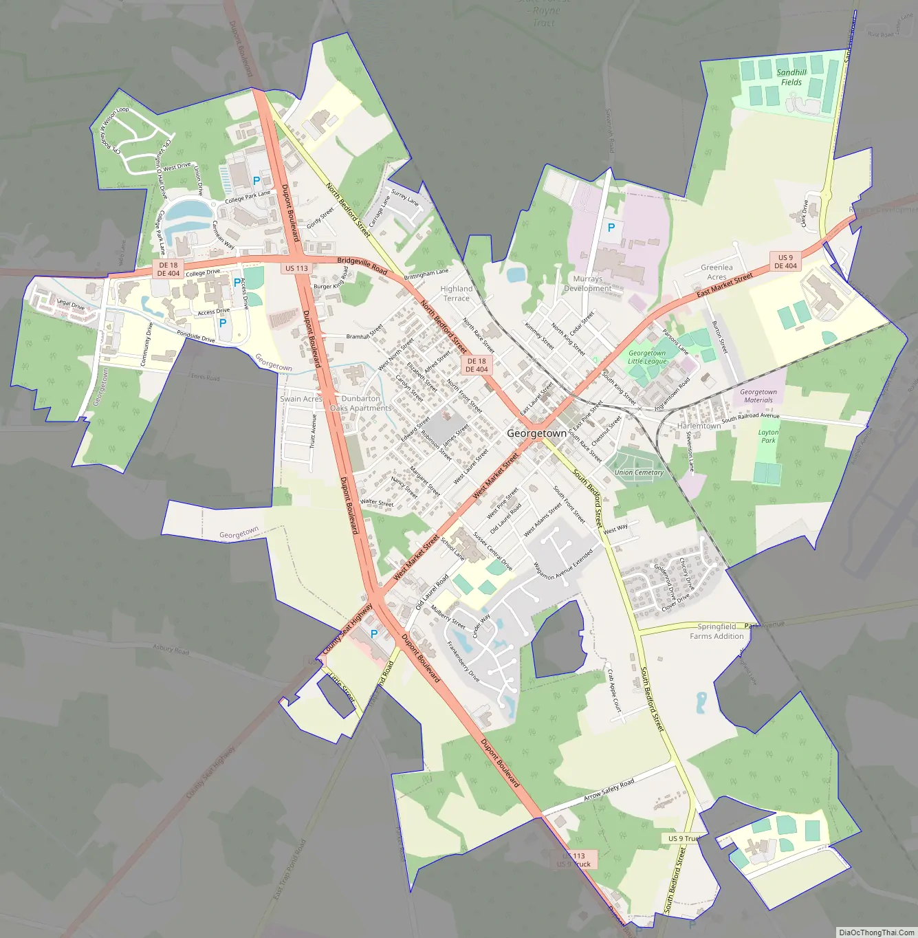
Georgetown Road Map
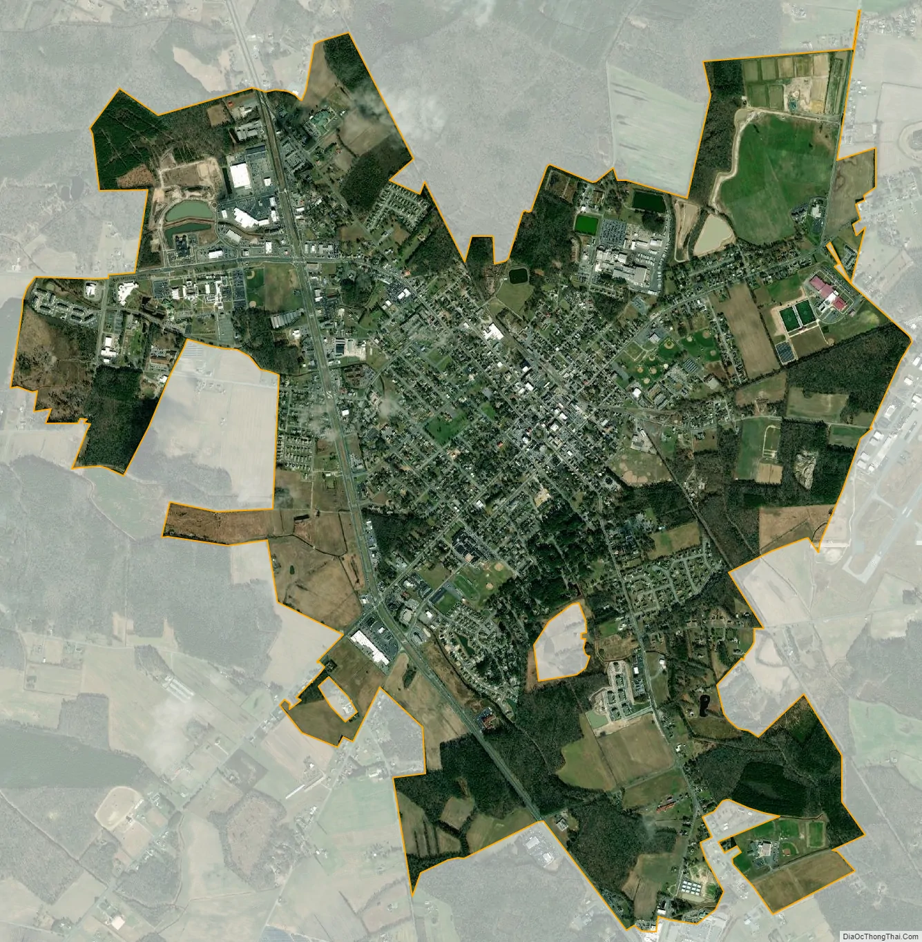
Georgetown city Satellite Map
Geography
Georgetown is located at 38°41′24″N 75°23′08″W / 38.69000°N 75.38556°W / 38.69000; -75.38556 (38.6901134, –75.3854728).
According to the United States Census Bureau, the town has a total area of 4.1 square miles (11 km), all land.
Climate
See also
Map of Delaware State and its subdivision: Map of other states:- Alabama
- Alaska
- Arizona
- Arkansas
- California
- Colorado
- Connecticut
- Delaware
- District of Columbia
- Florida
- Georgia
- Hawaii
- Idaho
- Illinois
- Indiana
- Iowa
- Kansas
- Kentucky
- Louisiana
- Maine
- Maryland
- Massachusetts
- Michigan
- Minnesota
- Mississippi
- Missouri
- Montana
- Nebraska
- Nevada
- New Hampshire
- New Jersey
- New Mexico
- New York
- North Carolina
- North Dakota
- Ohio
- Oklahoma
- Oregon
- Pennsylvania
- Rhode Island
- South Carolina
- South Dakota
- Tennessee
- Texas
- Utah
- Vermont
- Virginia
- Washington
- West Virginia
- Wisconsin
- Wyoming


