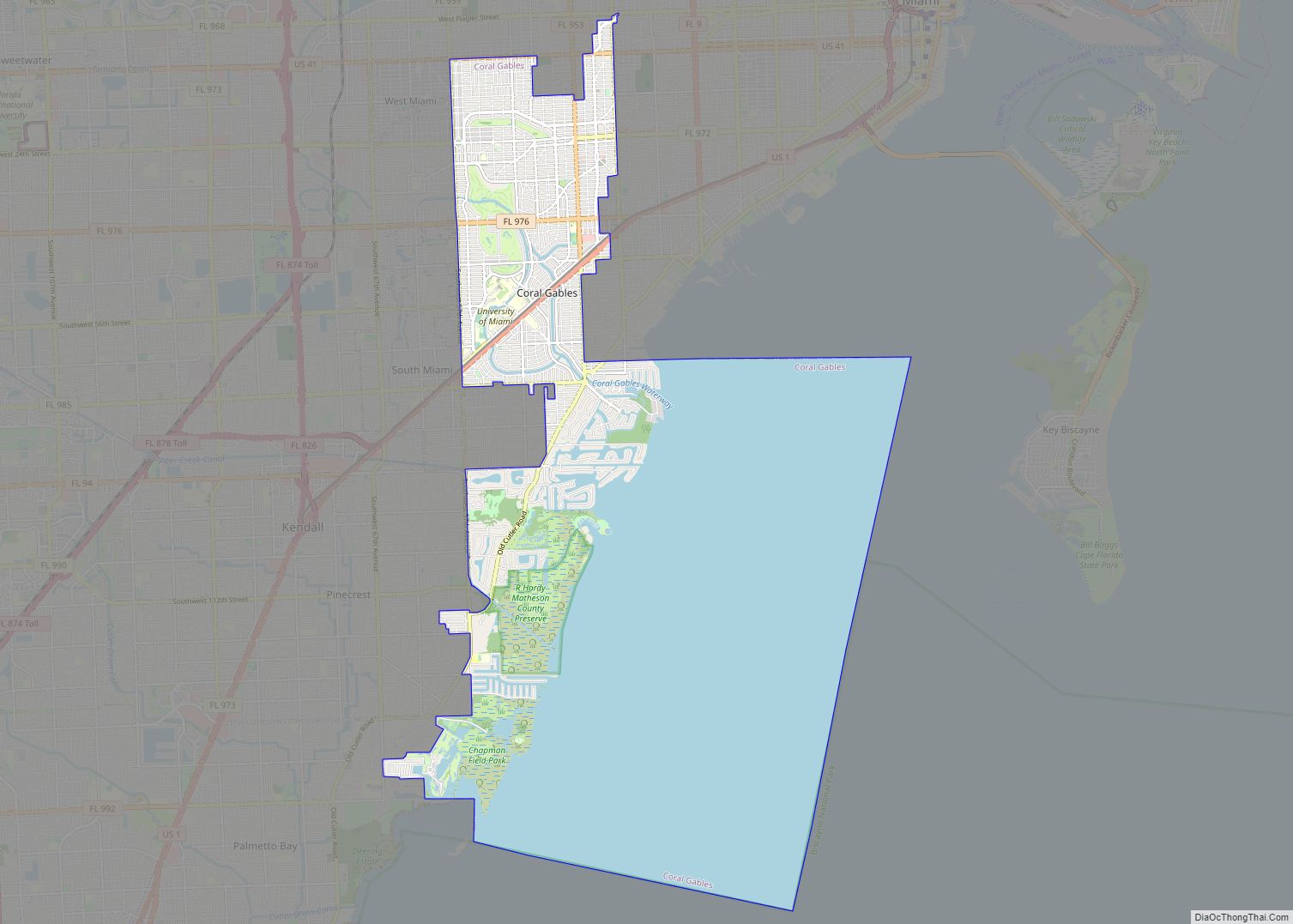
Coral Gables is a city in Miami-Dade County, Florida, United States. The city is located 7 miles (11 km) southwest of Downtown Miami. As of the 2020 U.S. census, it had a population of 49,248. Coral Gables is known globally as being home to the University of Miami, one of the nation’s private research universities whose ... Read more
Florida Cities and Places
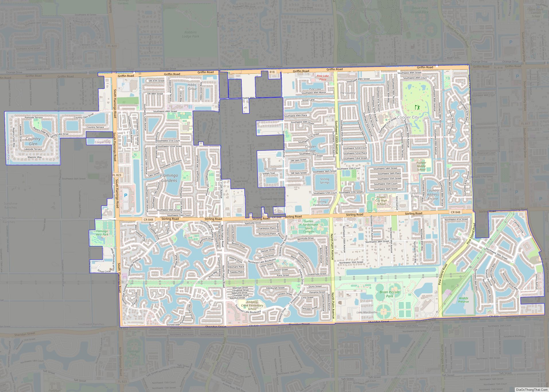
Cooper City is a city in Broward County, Florida, United States. The city is named for Morris Cooper, who founded the community in 1959. The city’s population was 34,401 at the 2020 census. In 2006, with the annexation of the Waldrep Dairy Farm, Cooper City started construction on the first major new home construction project ... Read more
Conway is a census-designated place and an unincorporated area in Orange County, Florida, United States. The population was 13,467 at the 2010 census. It is part of the Orlando–Kissimmee–Sanford, Florida Metropolitan Statistical Area. Settled in the 1850s, Conway was an important place in the early 1900s. One of the first five paved highways built in ... Read more
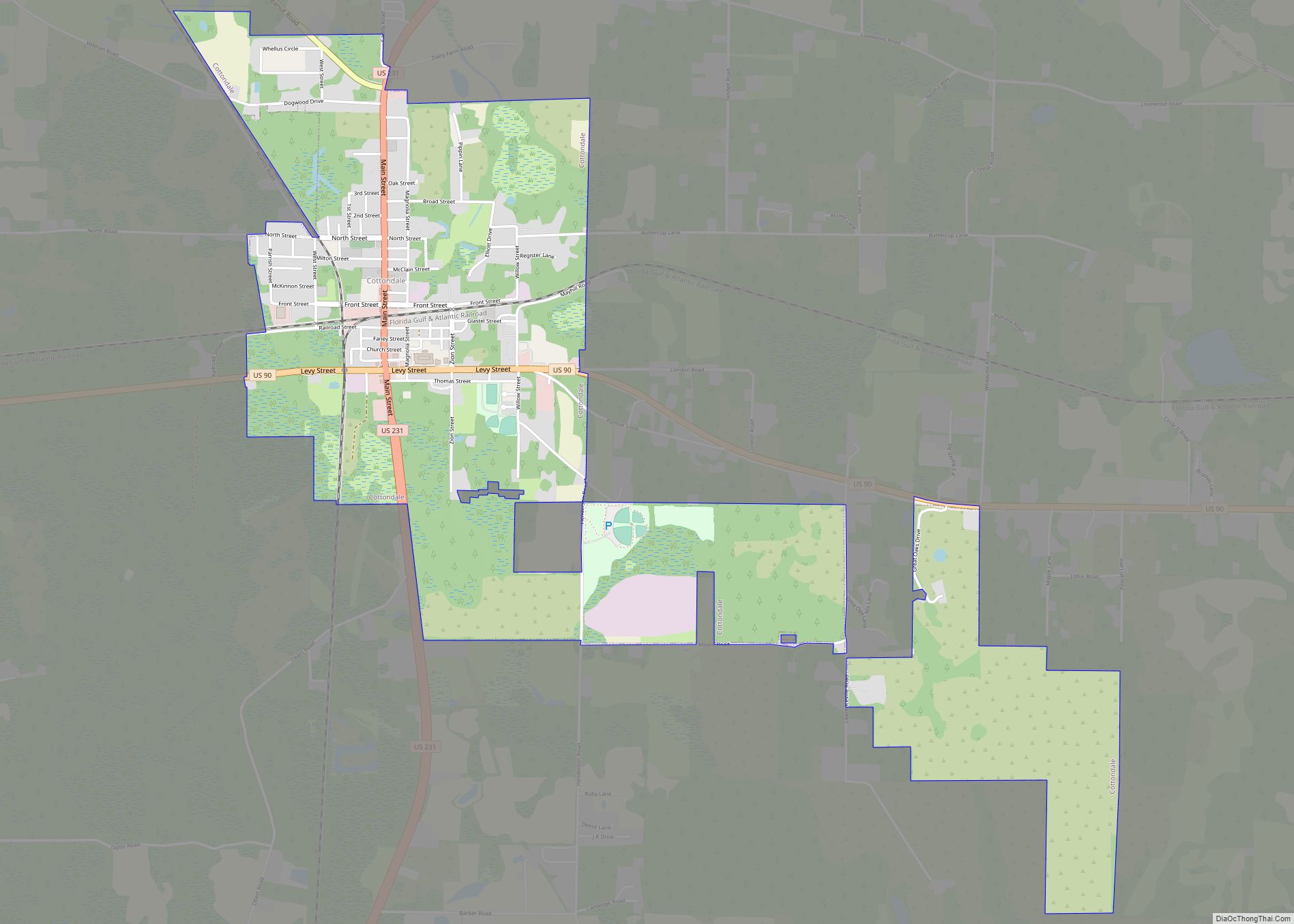
Cottondale is a town in Jackson County, Florida, United States. The population was 933 at the 2010 census, up from 869 at the 2000 census. Cottondale has a police force of four to five sworn officers; the police chief is Willam Watford. Cottondale High School is located there. The town was one of several Florida ... Read more
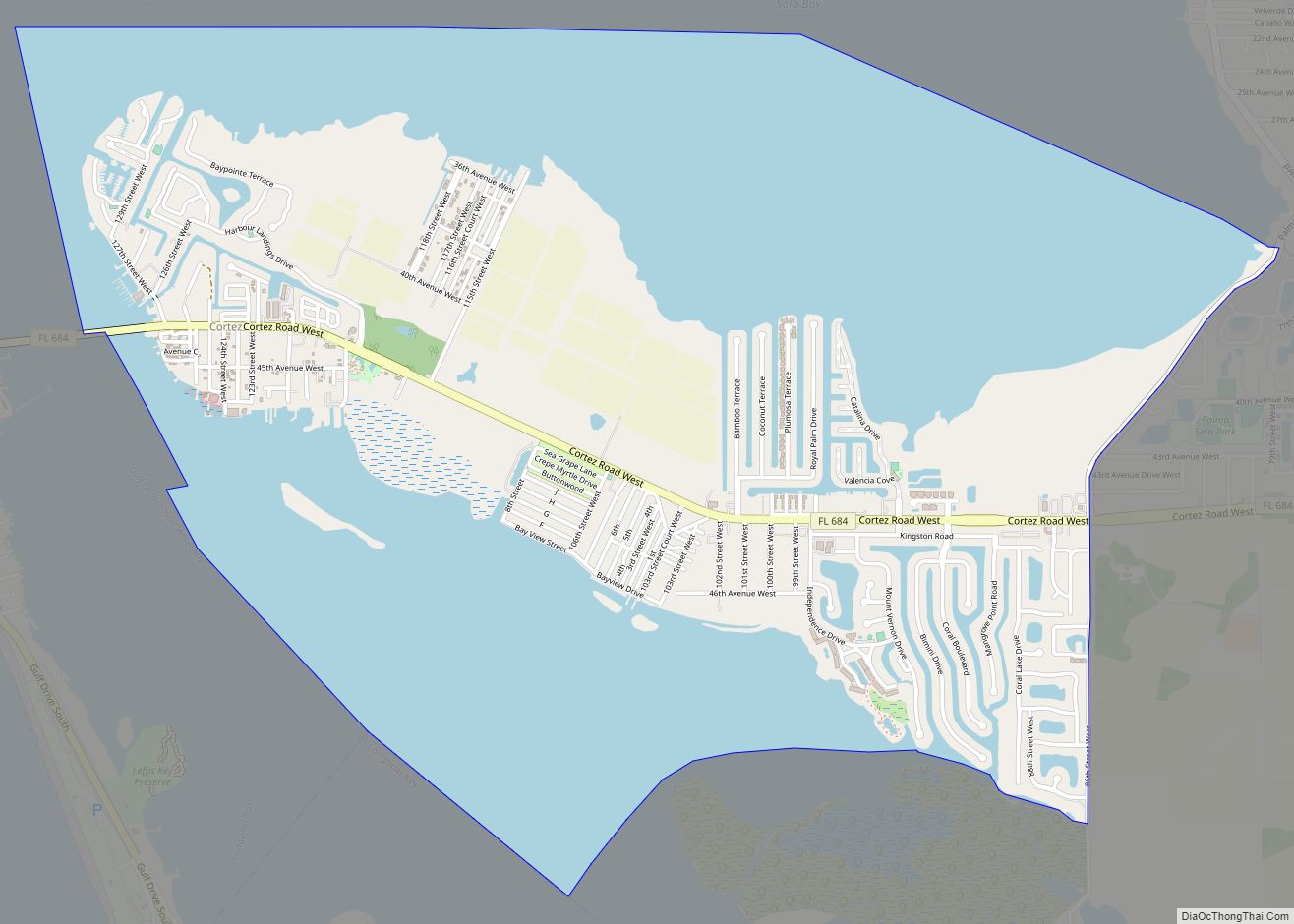
Cortez, a census-designated place (CDP) in Manatee County, Florida, United States, is a small Gulf Coast commercial fishing village that was founded by settlers from North Carolina in the 1880s. The population was 4,121 at the 2020 census. It is part of the Bradenton-Sarasota-Venice, Florida Metropolitan Statistical Area. Cortez CDP overview: Name: Cortez CDP LSAD ... Read more
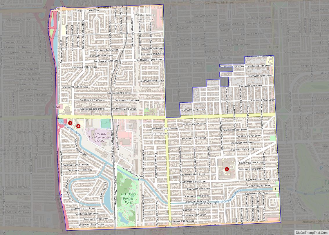
Coral Terrace is a suburban unincorporated community and census-designated place (CDP) in Miami-Dade County, Florida, United States. The population was 23,142 at the 2020 census, down from 24,376 in 2010. Coral Terrace CDP overview: Name: Coral Terrace CDP LSAD Code: 57 LSAD Description: CDP (suffix) State: Florida County: Miami-Dade County Elevation: 7 ft (2 m) Total Area: ... Read more
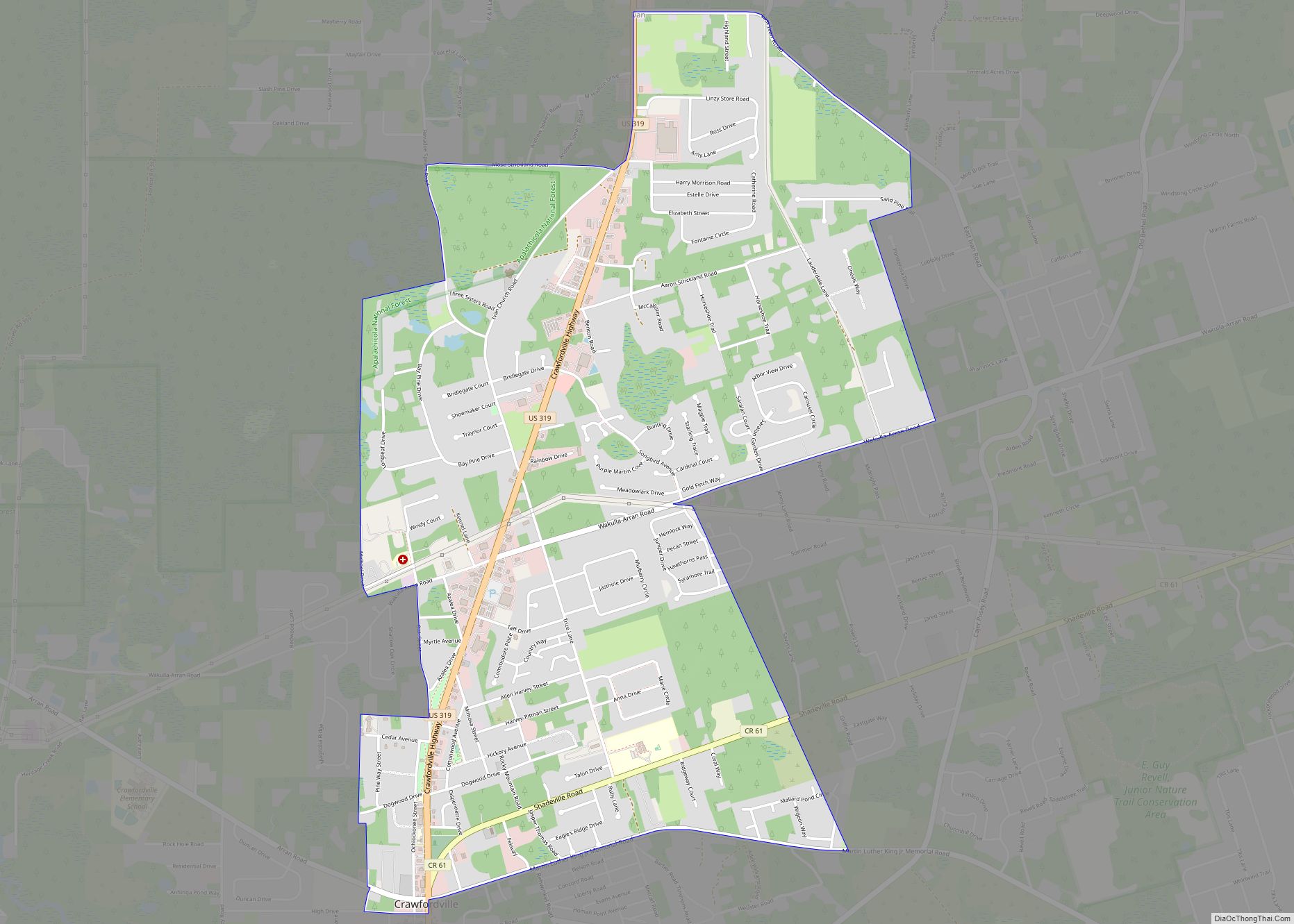
Crawfordville is an unincorporated community and county seat of Wakulla County, Florida, United States. Crawfordville CDP overview: Name: Crawfordville CDP LSAD Code: 57 LSAD Description: CDP (suffix) State: Florida County: Wakulla County Elevation: 13 ft (4 m) Total Area: 4.57 sq mi (11.83 km²) Land Area: 4.57 sq mi (11.83 km²) Water Area: 0.00 sq mi (0.00 km²) Total Population: 4,853 Population Density: 1,062.16/sq mi (410.14/km²) ZIP ... Read more
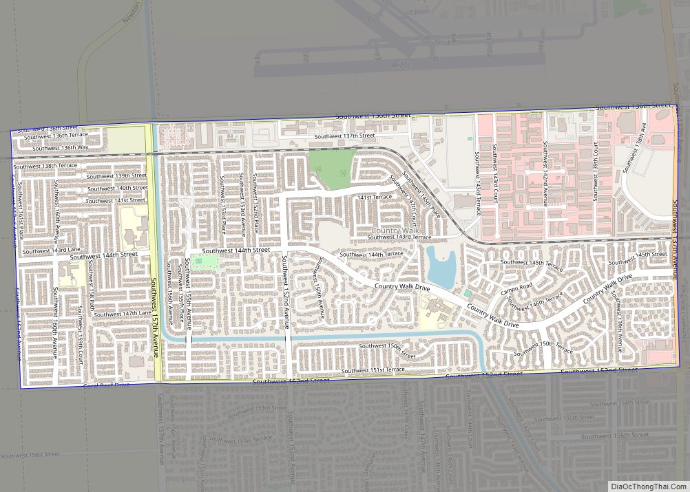
Country Walk is a census-designated place (CDP) in Miami-Dade County, Florida, United States. The population was 16,951 at the 2020 census, up from 15,997 at the 2010 census. Country Walk CDP overview: Name: Country Walk CDP LSAD Code: 57 LSAD Description: CDP (suffix) State: Florida County: Miami-Dade County Elevation: 7 ft (2 m) Total Area: 2.62 sq mi (6.78 km²) ... Read more
Country Club is a census-designated place and a suburban unincorporated community located in northwest Miami-Dade County, Florida, United States. It is named after the Country Club of Miami, which was established in 1961 in what was then an unpopulated and undeveloped section of the county. The population was 49,967 at the 2020 census, up from ... Read more
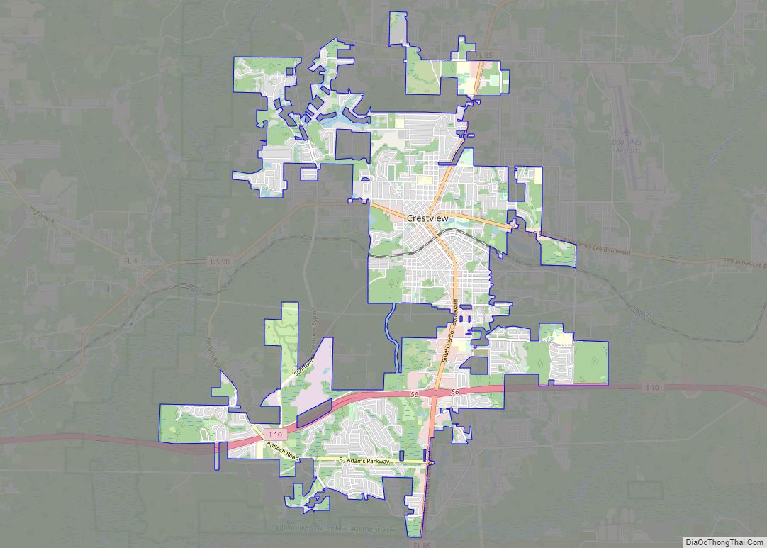
Crestview is a city in Okaloosa County, Florida, United States. The population was 27,134 at the 2020 census, up from 20,978 at the 2010 census. It is the county seat of Okaloosa County. With an elevation of 235 feet (72 m) above sea level, it is one of the highest points in the state; it receives ... Read more
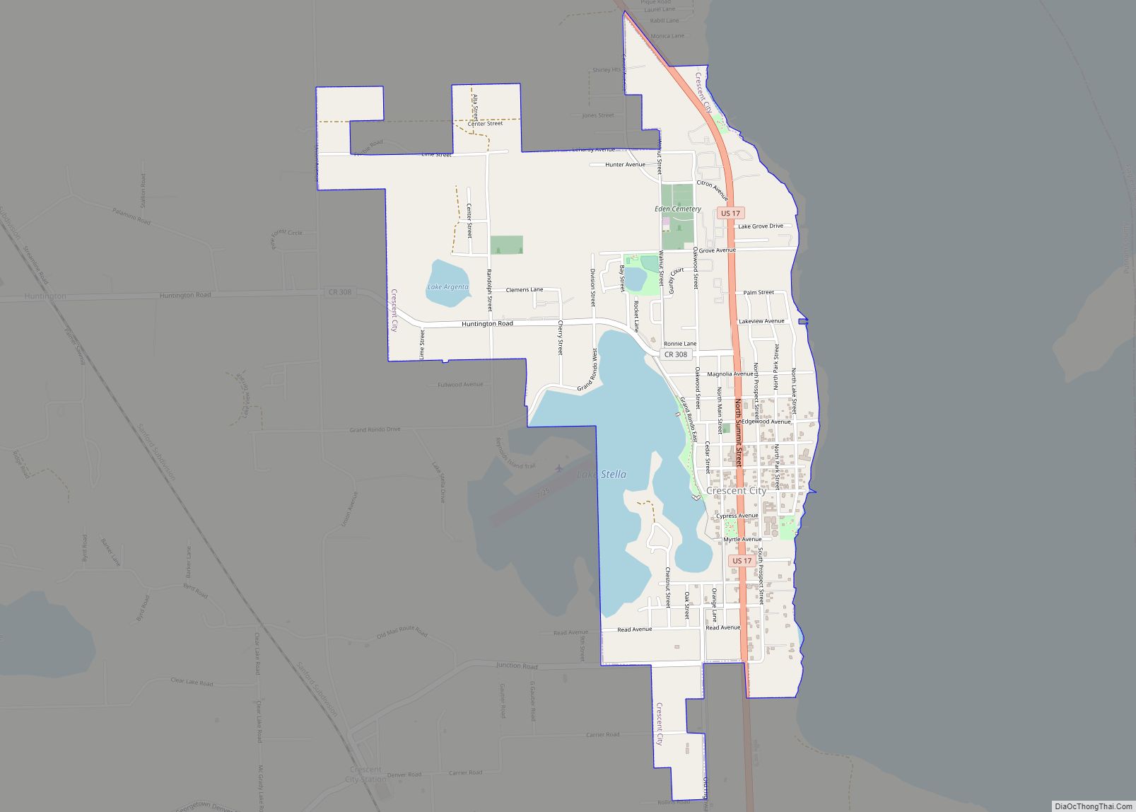
Crescent City is a city in Putnam County, Florida, United States. As of the 2020 Census, its population was 1,654. The city is located on two lakes and is part of the Palatka Micropolitan Statistical Area. Crescent Lake lies to the east of town and Lake Stella is located to the west. Crescent City city ... Read more
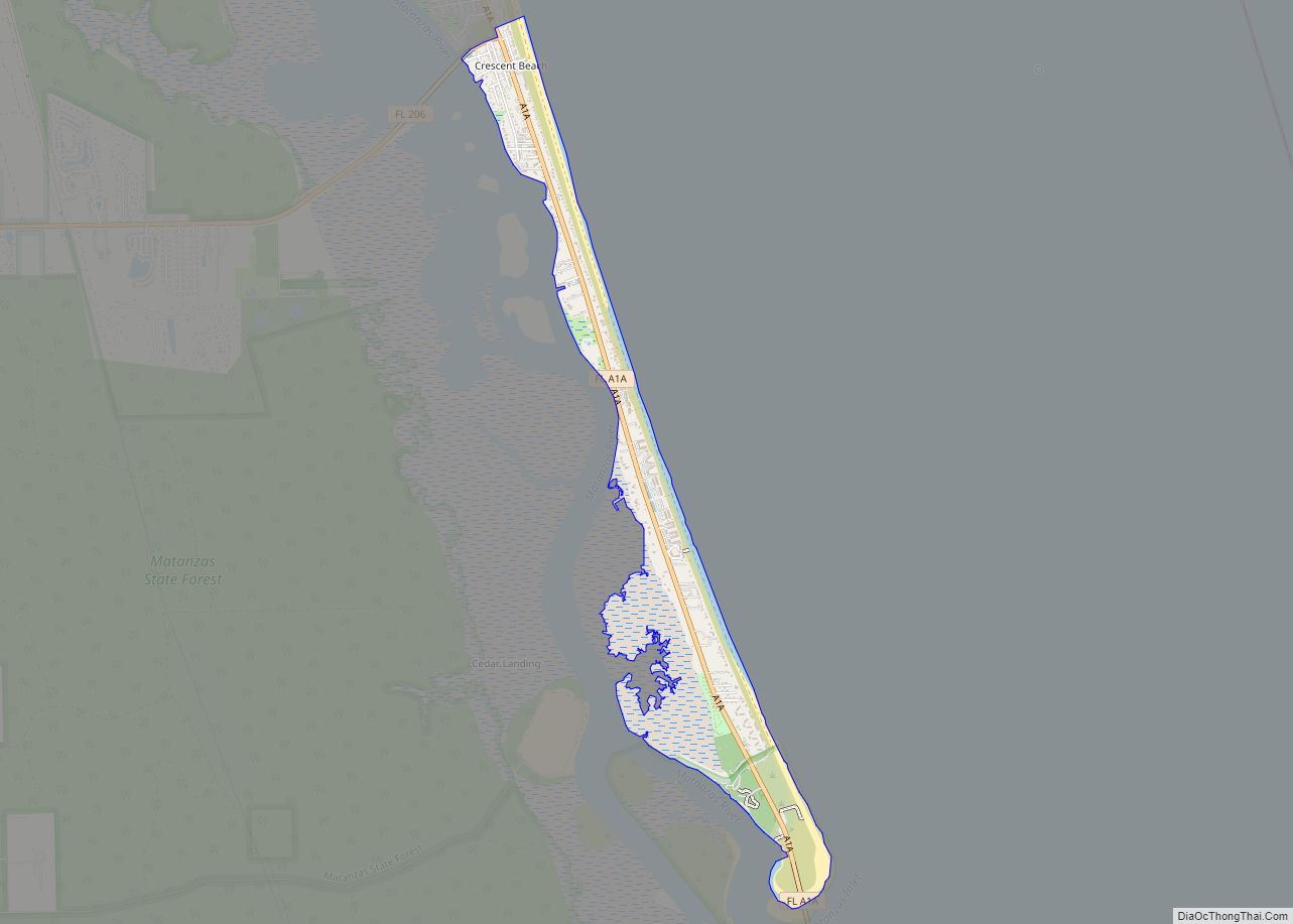
Crescent Beach is an unincorporated census-designated place in St. Johns County, Florida, United States. The population was 985 at the 2000 census. Crescent Beach CDP overview: Name: Crescent Beach CDP LSAD Code: 57 LSAD Description: CDP (suffix) State: Florida County: St. Johns County Elevation: 7 ft (2 m) Total Area: 1.46 sq mi (3.78 km²) Land Area: 1.44 sq mi (3.72 km²) Water ... Read more
