Cooper City is a city in Broward County, Florida, United States. The city is named for Morris Cooper, who founded the community in 1959. The city’s population was 34,401 at the 2020 census.
In 2006, with the annexation of the Waldrep Dairy Farm, Cooper City started construction on the first major new home construction project within the past few decades. It was expected the addition of the 530-acre (2.1 km) property would add upwards of 4,000 new residents through 2011.
| Name: | Cooper City city |
|---|---|
| LSAD Code: | 25 |
| LSAD Description: | city (suffix) |
| State: | Florida |
| County: | Broward County |
| Incorporated: | June 20, 1959 |
| Elevation: | 9 ft (2 m) |
| Land Area: | 8.04 sq mi (20.82 km²) |
| Water Area: | 0.30 sq mi (0.78 km²) 3.63% |
| Population Density: | 4,279.80/sq mi (1,652.42/km²) |
| ZIP code: | 33328-33330, 33026 |
| Area code: | 954, 754 |
| FIPS code: | 1214125 |
| GNISfeature ID: | 0280777 |
| Website: | www.coopercityfl.org |
Online Interactive Map
Click on ![]() to view map in "full screen" mode.
to view map in "full screen" mode.
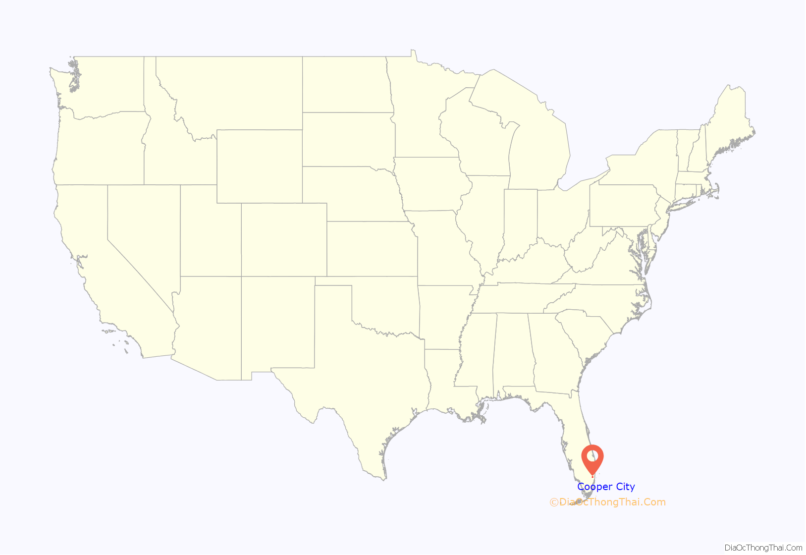
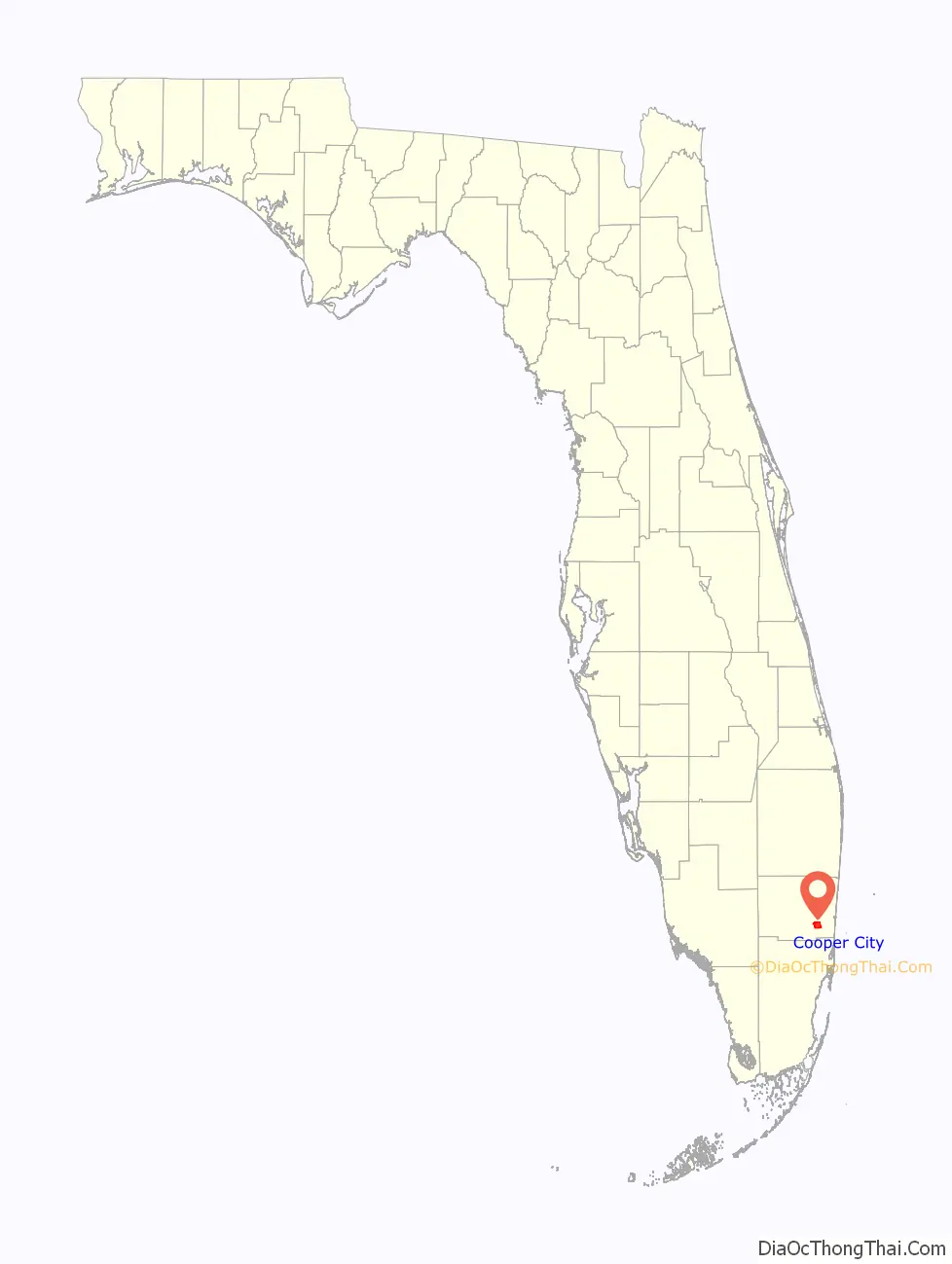
Cooper City location map. Where is Cooper City city?
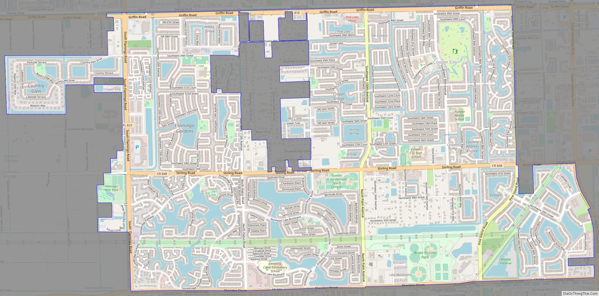
Cooper City Road Map
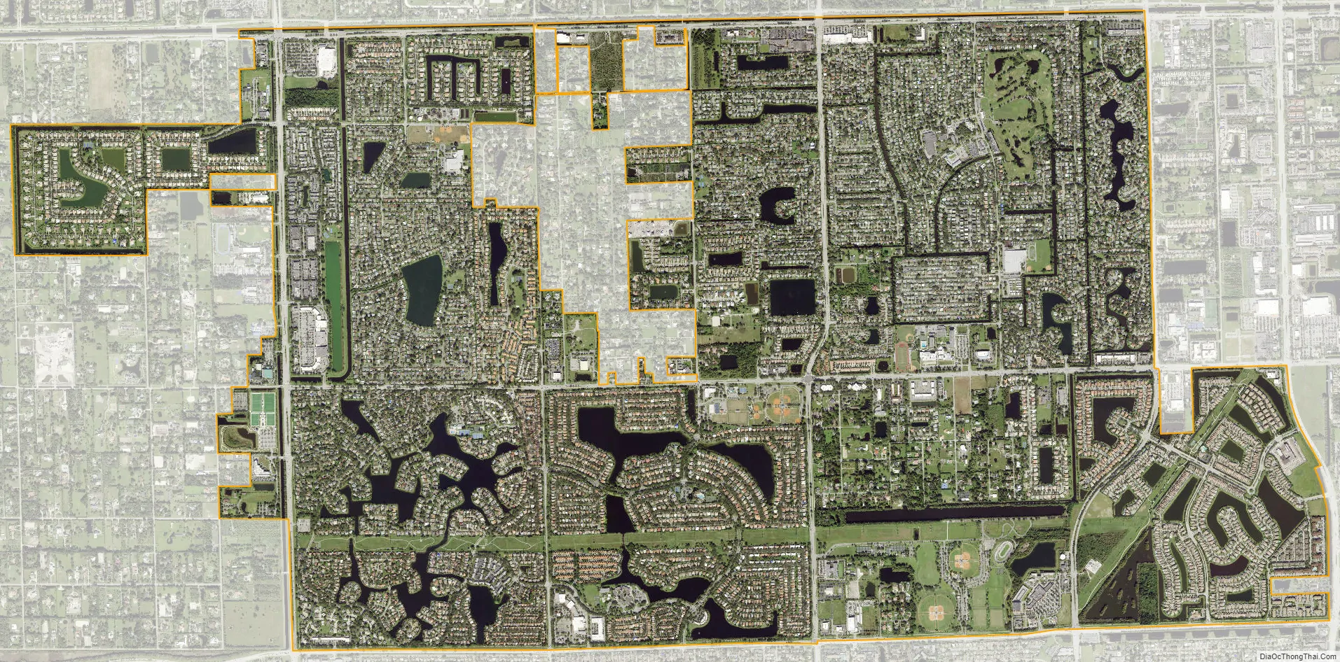
Cooper City city Satellite Map
Geography
Cooper City is located at 26°02′41″N 80°17′22″W / 26.044631°N 80.289566°W / 26.044631; -80.289566. The city is bounded by Davie to the north, Pembroke Pines to the south, both Hollywood and Davie to the east, and Southwest Ranches to the west.
According to the United States Census Bureau, the city has a total area of 8.3 square miles (21.6 km), of which 8.0 square miles (20.8 km) is land and 0.31 square miles (0.8 km) is water (3.63%).
See also
Map of Florida State and its subdivision:- Alachua
- Baker
- Bay
- Bradford
- Brevard
- Broward
- Calhoun
- Charlotte
- Citrus
- Clay
- Collier
- Columbia
- Desoto
- Dixie
- Duval
- Escambia
- Flagler
- Franklin
- Gadsden
- Gilchrist
- Glades
- Gulf
- Hamilton
- Hardee
- Hendry
- Hernando
- Highlands
- Hillsborough
- Holmes
- Indian River
- Jackson
- Jefferson
- Lafayette
- Lake
- Lee
- Leon
- Levy
- Liberty
- Madison
- Manatee
- Marion
- Martin
- Miami-Dade
- Monroe
- Nassau
- Okaloosa
- Okeechobee
- Orange
- Osceola
- Palm Beach
- Pasco
- Pinellas
- Polk
- Putnam
- Saint Johns
- Saint Lucie
- Santa Rosa
- Sarasota
- Seminole
- Sumter
- Suwannee
- Taylor
- Union
- Volusia
- Wakulla
- Walton
- Washington
- Alabama
- Alaska
- Arizona
- Arkansas
- California
- Colorado
- Connecticut
- Delaware
- District of Columbia
- Florida
- Georgia
- Hawaii
- Idaho
- Illinois
- Indiana
- Iowa
- Kansas
- Kentucky
- Louisiana
- Maine
- Maryland
- Massachusetts
- Michigan
- Minnesota
- Mississippi
- Missouri
- Montana
- Nebraska
- Nevada
- New Hampshire
- New Jersey
- New Mexico
- New York
- North Carolina
- North Dakota
- Ohio
- Oklahoma
- Oregon
- Pennsylvania
- Rhode Island
- South Carolina
- South Dakota
- Tennessee
- Texas
- Utah
- Vermont
- Virginia
- Washington
- West Virginia
- Wisconsin
- Wyoming


