Coral Gables is a city in Miami-Dade County, Florida, United States. The city is located 7 miles (11 km) southwest of Downtown Miami. As of the 2020 U.S. census, it had a population of 49,248.
Coral Gables is known globally as being home to the University of Miami, one of the nation’s private research universities whose main campus spans 240 acres (0.97 km) in the city. With 16,479 faculty and staff as of 2021, the University of Miami is the largest employer in Coral Gables and second-largest employer in all of Miami-Dade County.
The city is a Mediterranean-themed planned community known for its historic and affluent character reinforced by its strict zoning, popular landmarks, and tourist sights.
| Name: | Coral Gables city |
|---|---|
| LSAD Code: | 25 |
| LSAD Description: | city (suffix) |
| State: | Florida |
| County: | Miami-Dade County |
| Incorporated: | April 29, 1925 |
| Elevation: | 10 ft (2.8 m) |
| Land Area: | 12.93 sq mi (33.48 km²) |
| Water Area: | 24.38 sq mi (63.16 km²) |
| Population Density: | 3,809.70/sq mi (1,470.93/km²) |
| FIPS code: | 1214250 |
| GNISfeature ID: | 0280801 |
| Website: | www.coralgables.com |
Online Interactive Map
Click on ![]() to view map in "full screen" mode.
to view map in "full screen" mode.
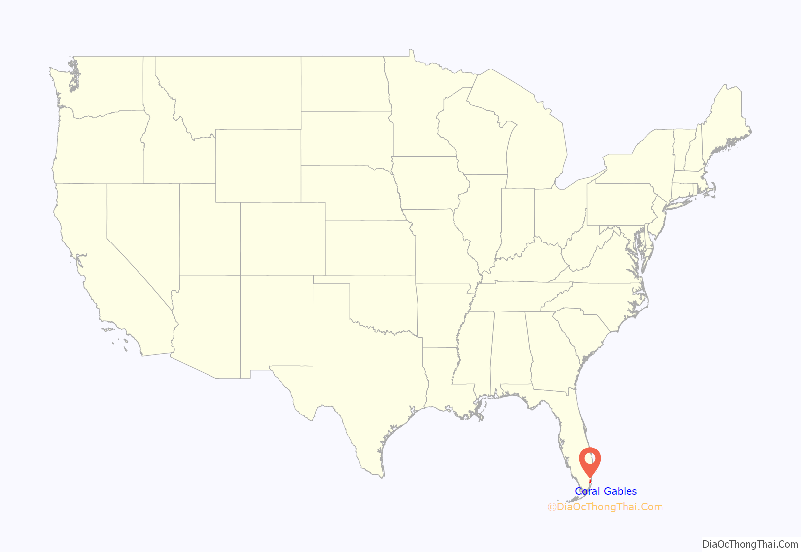
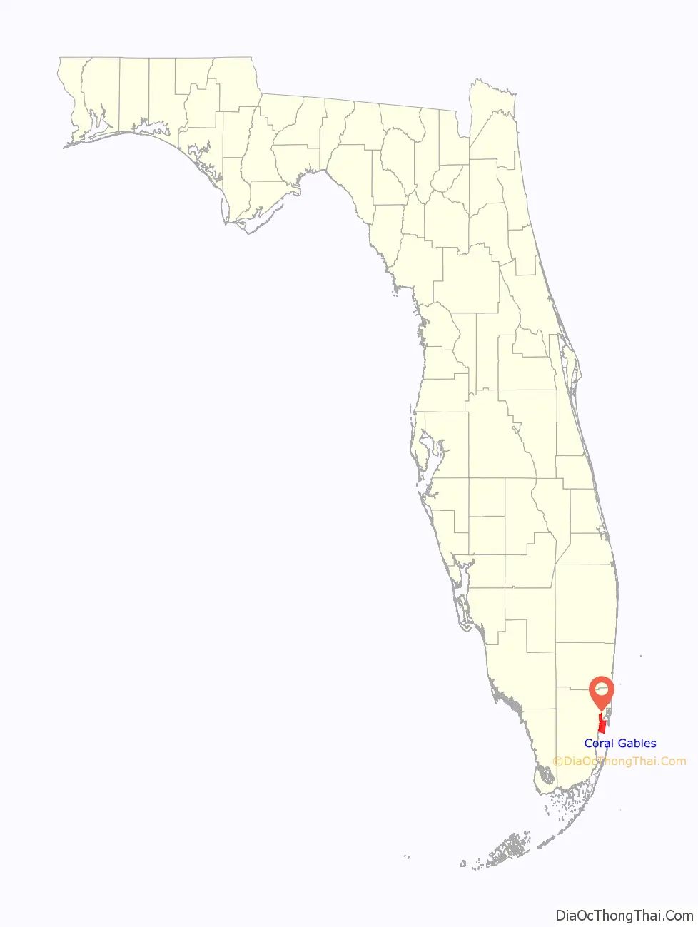
Coral Gables location map. Where is Coral Gables city?
History
Coral Gables was formally incorporated as a city on April 29, 1925. It was and remains a planned community based on the popular early twentieth century City Beautiful Movement and is known for its strict zoning regulations. The city was developed by George Merrick, a real estate developer from Pennsylvania, during the Florida land boom of the 1920s. The city’s architecture is almost entirely Mediterranean Revival style, mandated in the original plan, with an emphasis on Spanish influence in particular, such as the Coral Gables Congregational Church, donated by Merrick. The domed Catholic Church of the Little Flower was built somewhat later, in a similar Spanish Renaissance style.
Early in the city’s planning and development, Merrick shared his vision for Coral Gables as “a most extraordinary opportunity for the building of ‘Castles in Spain’,” as explored in Coral Gables historian Arva Moore Parks’ 2006 book George Merrick’s Coral Gables: Where Your ‘Castles in Spain’ are Made Real. Merrick’s success in executing this vision for the city would catch the attention of Spain’s King, Alfonso XIII, who awarded Merrick the Order of Isabella the Catholic for his support of Spanish culture in Coral Gables.
By 1926, the city covered 10,000 acres (4,000 ha) and had netted $150 million in sales, with over $100 million spent on development. That year also saw the opening of the Biltmore Hotel and Golf Course, a major landmark in city.
Merrick meticulously designed the city with distinct zones. For example, he designed the Downtown commercial district to be only four blocks wide and more than 2 miles (3.2 km) long. The main artery, now known as Miracle Mile, bisected the business district. Merrick could boast that every business in Coral Gables was less than a two-block walk. The city used to have an electric trolley system, which was replaced by the popularity of modern automobiles, but now a new free circulator trolley system, initiated in November 2003, runs down Ponce de León Boulevard. Another distinctive and character-defining feature of the city planned by Merrick are the themed Coral Gables Villages that date to the 1920s and were designed to expand the city’s architecture beyond Spanish influence to include Italian, French, and Dutch South African among others.
In 1925, roughly simultaneous to the founding of Coral Gables, the University of Miami was constructed on 240 acres (97 ha) of land just west of U.S. Route 1, approximately two miles south of Downtown Coral Gables. By the fall of 1926, the first class of 372 students enrolled at the university.
During World War II, many Navy pilots and mechanics were trained and housed in Coral Gables.
Coral Gables has traditionally placed high priority on historic preservation. The city passed its first preservation ordinance in 1973 as many of its founding structures from the 1920s began to reach their 50th anniversaries. Further ordinances were enacted in the 1980s establishing the Historic Preservation Board and in the 1990s establishing the Historic Preservation Department, now called the Historical Resources & Cultural Arts Department. As part of the city’s historic preservation program the Historical Resources Department is tasked with researching and identifying significant properties and local landmarks for listing in the Coral Gables Registry of Historic Places as well as on national historic registers. The department also reviews modifications to locally designated landmarks and initiates grant proposals. The Historic Preservation Board is a quasi-judicial body that votes on local landmark designations and other issues pertaining to the historic character of the city.
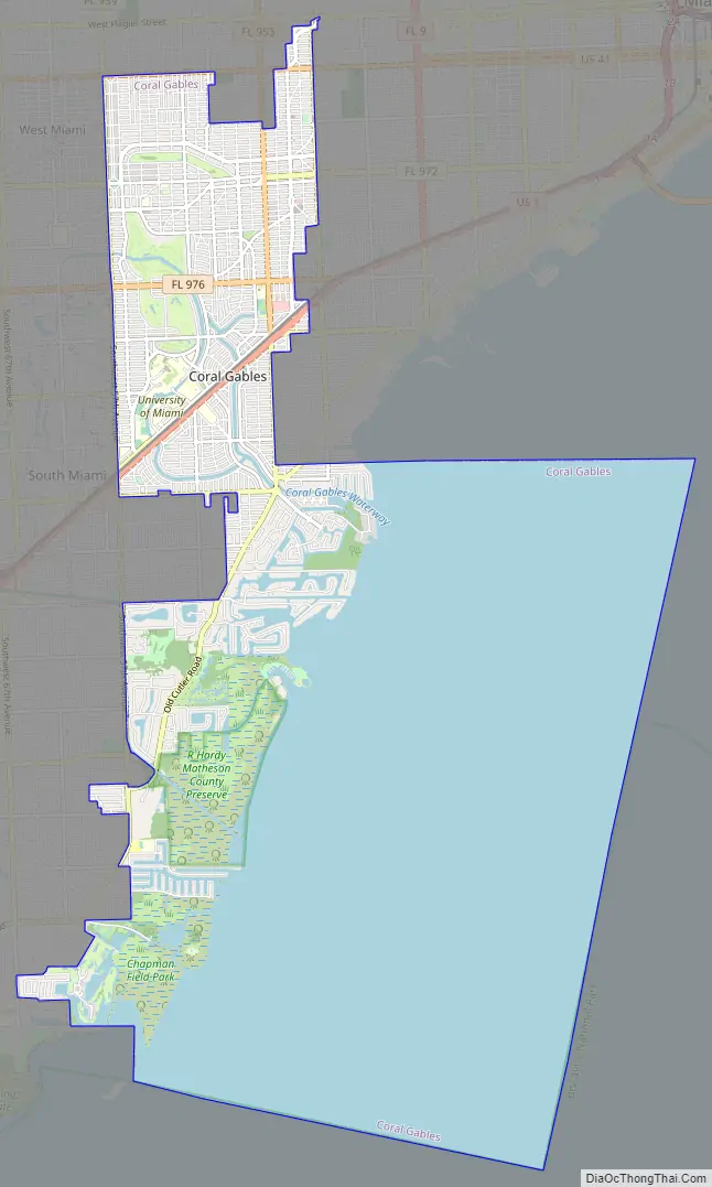
Coral Gables Road Map
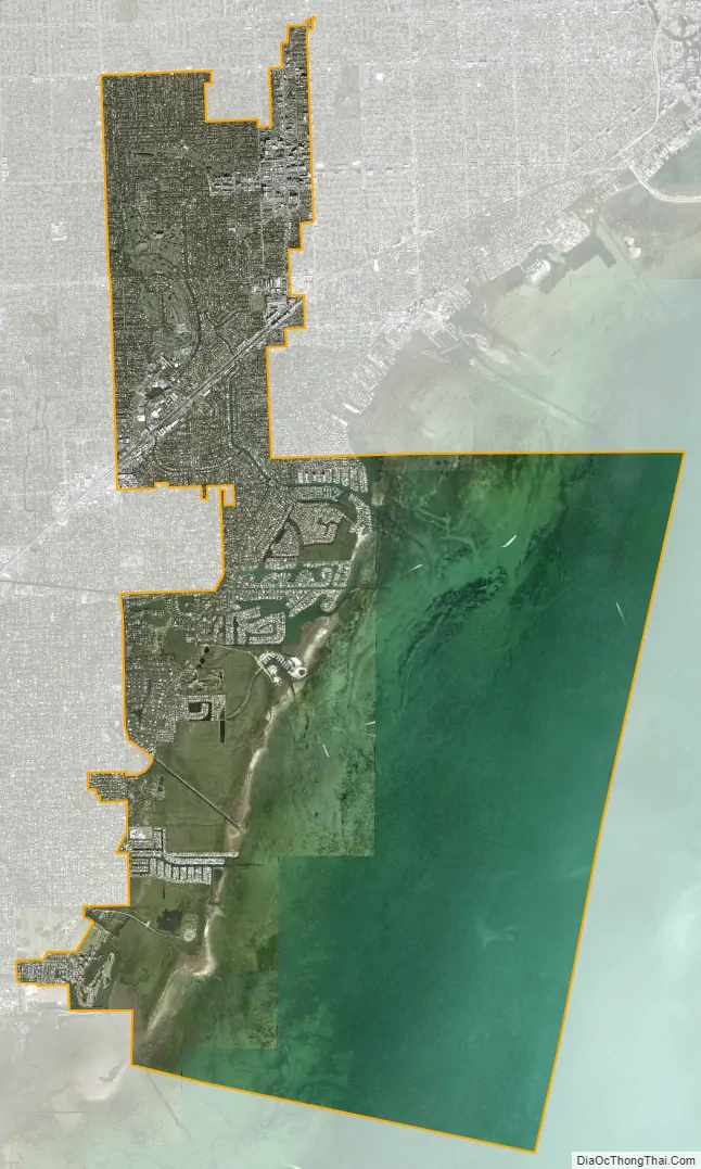
Coral Gables city Satellite Map
Geography
Coral Gables is located at 25°43′42″N 80°16′16″W / 25.728228°N 80.270986°W / 25.728228; -80.270986. It is bordered on the west by Red Road (West 57th Avenue) north of Sunset Drive (South 72nd Street) and West 49th Avenue and Old Cutler Roads south of Sunset Drive. It is bordered on the north by Tamiami Trail/U.S. Route 41 (South 8th Street), except for a small section that extends north of 8th Street for eight blocks between Ponce de Leon Boulevard and Douglas Road (West 37th Avenue).
On the east, it is bordered by Douglas Road (West 37th Avenue) north of South 26th Street, Monegro Street south of South 26th Street to Cadima Avenue, Ponce De Leon Boulevard south of Cadima Avenue to South Dixie Highway (U.S. Route 1), LeJeune Road (West 42nd Avenue) south of U.S. 1 to Battersea Road, and by Biscayne Bay south of Battersea Road. On the south, it is bordered by the Charles Deering Estate.
According to the U.S. Census Bureau, the city has a total area of 37.2 square miles (96 km) of which 13.1 square miles (34 km) is land and 24.0 square miles (62 km) (64.64%) is water.
See also
Map of Florida State and its subdivision:- Alachua
- Baker
- Bay
- Bradford
- Brevard
- Broward
- Calhoun
- Charlotte
- Citrus
- Clay
- Collier
- Columbia
- Desoto
- Dixie
- Duval
- Escambia
- Flagler
- Franklin
- Gadsden
- Gilchrist
- Glades
- Gulf
- Hamilton
- Hardee
- Hendry
- Hernando
- Highlands
- Hillsborough
- Holmes
- Indian River
- Jackson
- Jefferson
- Lafayette
- Lake
- Lee
- Leon
- Levy
- Liberty
- Madison
- Manatee
- Marion
- Martin
- Miami-Dade
- Monroe
- Nassau
- Okaloosa
- Okeechobee
- Orange
- Osceola
- Palm Beach
- Pasco
- Pinellas
- Polk
- Putnam
- Saint Johns
- Saint Lucie
- Santa Rosa
- Sarasota
- Seminole
- Sumter
- Suwannee
- Taylor
- Union
- Volusia
- Wakulla
- Walton
- Washington
- Alabama
- Alaska
- Arizona
- Arkansas
- California
- Colorado
- Connecticut
- Delaware
- District of Columbia
- Florida
- Georgia
- Hawaii
- Idaho
- Illinois
- Indiana
- Iowa
- Kansas
- Kentucky
- Louisiana
- Maine
- Maryland
- Massachusetts
- Michigan
- Minnesota
- Mississippi
- Missouri
- Montana
- Nebraska
- Nevada
- New Hampshire
- New Jersey
- New Mexico
- New York
- North Carolina
- North Dakota
- Ohio
- Oklahoma
- Oregon
- Pennsylvania
- Rhode Island
- South Carolina
- South Dakota
- Tennessee
- Texas
- Utah
- Vermont
- Virginia
- Washington
- West Virginia
- Wisconsin
- Wyoming


