Crestview is a city in Okaloosa County, Florida, United States. The population was 27,134 at the 2020 census, up from 20,978 at the 2010 census. It is the county seat of Okaloosa County. With an elevation of 235 feet (72 m) above sea level, it is one of the highest points in the state; it receives 65 inches (1,700 mm) of rainfall annually, the second-most of any city in the state of Florida, after Fort Walton Beach with 69 inches.
Crestview is a principal city of the Fort Walton Beach-Crestview-Destin Metropolitan Statistical Area.
| Name: | Crestview city |
|---|---|
| LSAD Code: | 25 |
| LSAD Description: | city (suffix) |
| State: | Florida |
| County: | Okaloosa County |
| Elevation: | 236 ft (72 m) |
| Total Area: | 17.27 sq mi (44.74 km²) |
| Land Area: | 17.03 sq mi (44.11 km²) |
| Water Area: | 0.24 sq mi (0.63 km²) |
| Total Population: | 27,134 |
| Population Density: | 1,593.12/sq mi (615.12/km²) |
| ZIP code: | 32536, 32539 |
| Area code: | 850 |
| FIPS code: | 1215475 |
| GNISfeature ID: | 0281044 |
| Website: | http://www.cityofcrestview.org/ |
Online Interactive Map
Click on ![]() to view map in "full screen" mode.
to view map in "full screen" mode.
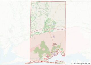
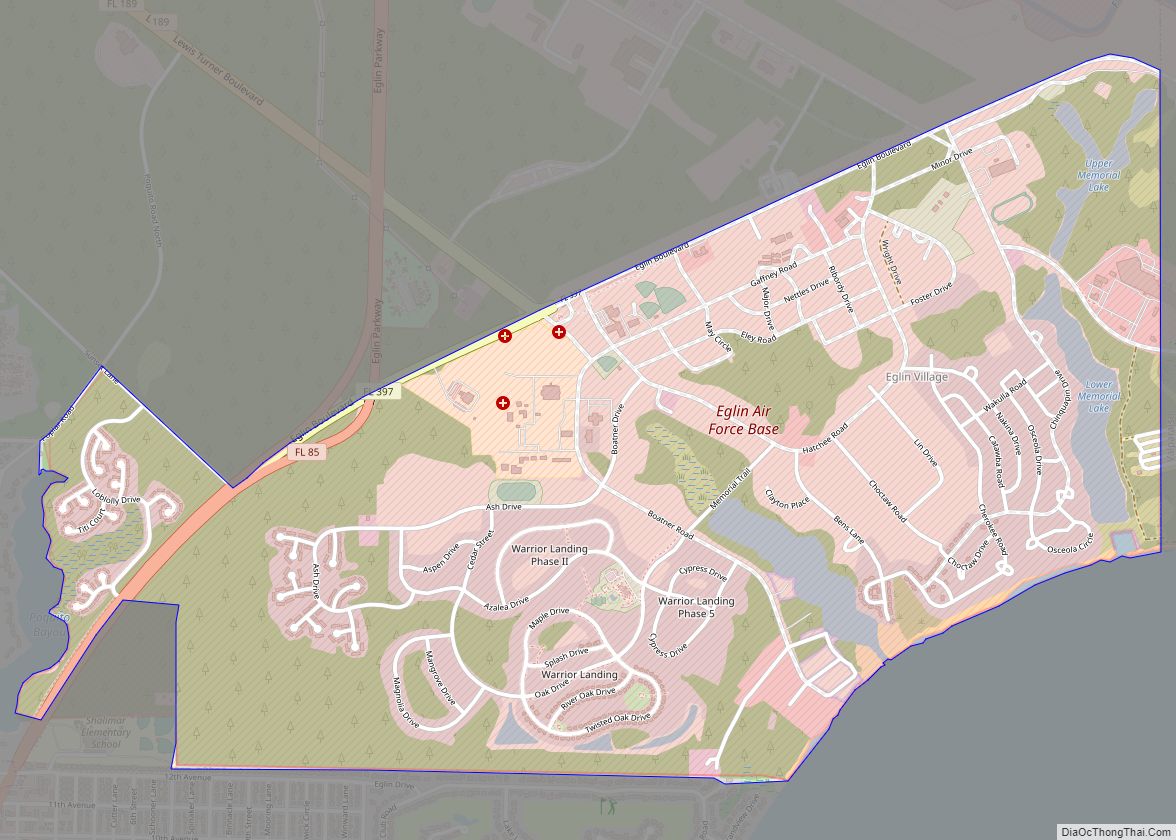
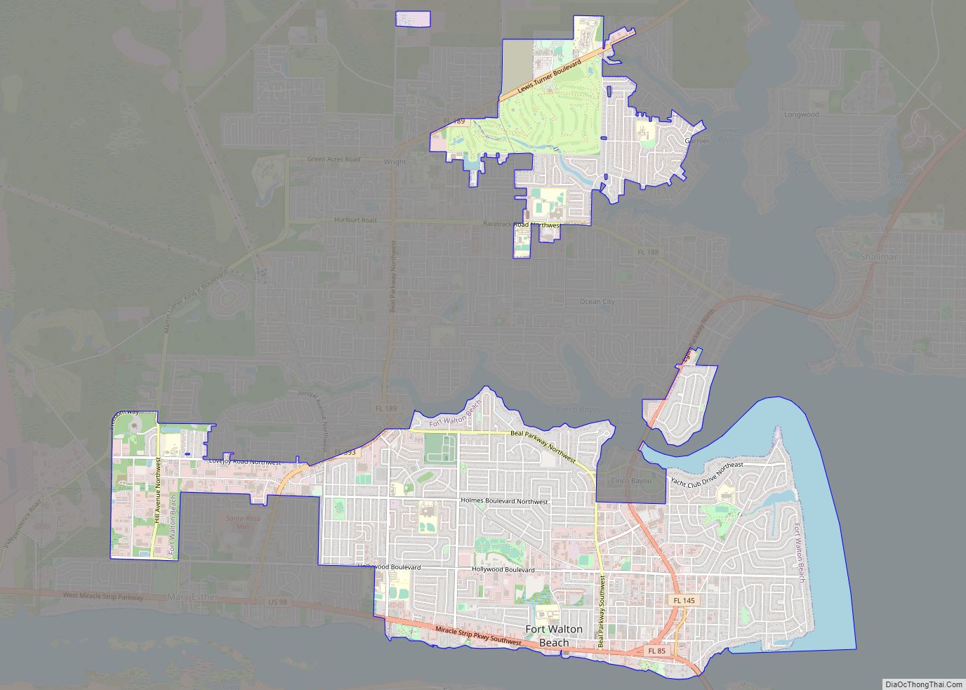
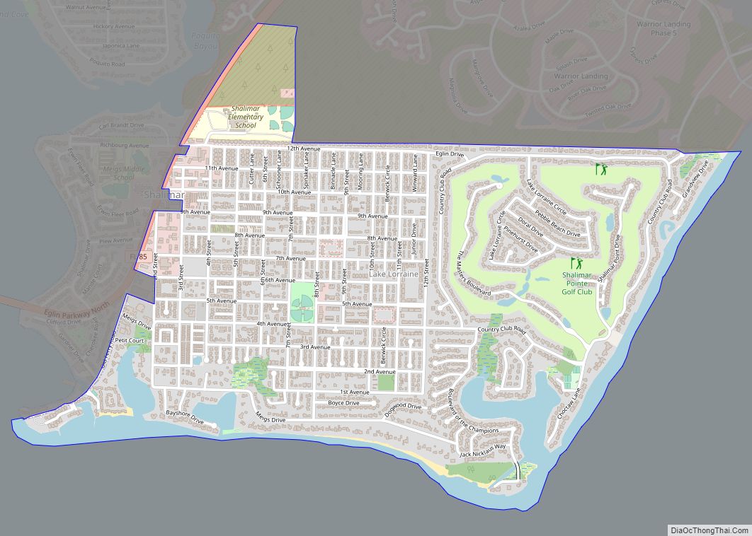
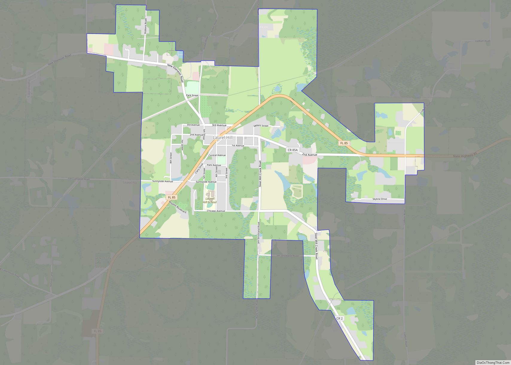
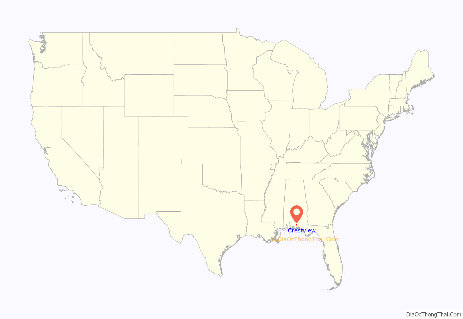
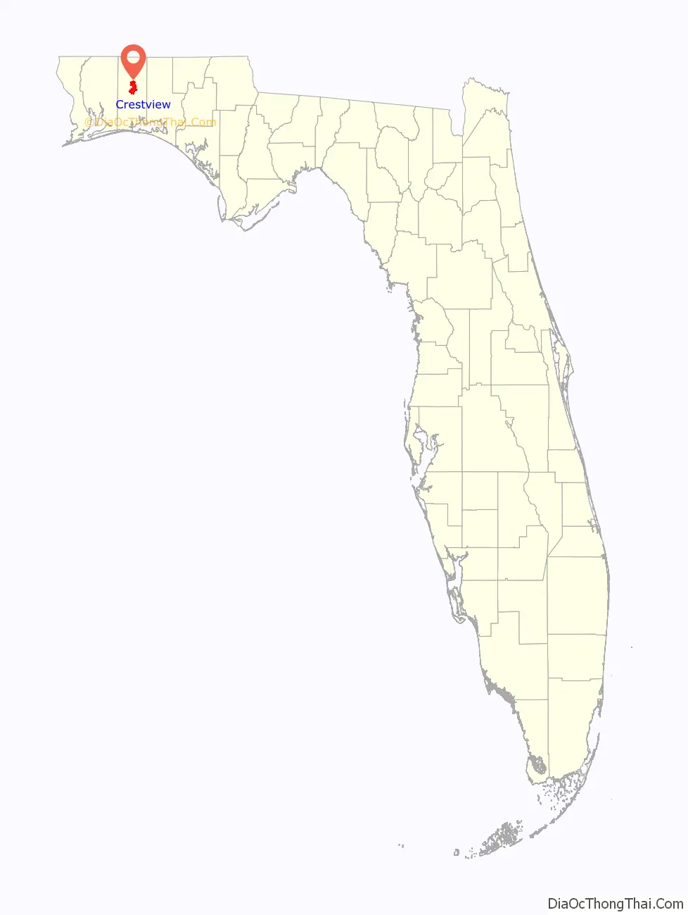
Crestview location map. Where is Crestview city?
History
Crestview was largely an outgrowth of the coming of railroad service to the west Panhandle of Florida.
The Pensacola and Atlantic Railroad Company, chartered in 1881, opened its line between Pensacola and Chattahoochee in January 1883. Soon two express passenger trains, the Atlantic Express and the Gulf Express, and a local accommodation train that stopped everywhere, were in daily operation. The expresses took about six hours to make the run, the local, thirteen hours. When the railroad company was unable to cover the interest owed bondholders, the Louisville and Nashville Railroad covered the shortfalls until 1885, and then foreclosed, merging the route into their system as the L & N’s Pensacola and Atlantic Division.
In 1894, sawmill operator W. B. Wright opened the 26-mile (42 km) Yellow River Railroad between Crestview and Florala, Alabama via Auburn, Campton, and Laurel Hill. The L & N supplied the line with freight cars, and in 1906, purchased the operation, as the Yellow River Branch. This line, without any major shippers on it to make it profitable, was used for freight car storage for a time in the early 1980s and then was abandoned with 25.3 miles of the route lifted after May 1985, although the right of way still exists, with some portions paved as local streets.
The 1920 Census figures for the City of Crestview, precinct 15 was 938.
On July 23, 1920, Crestview hosted the first public hanging for Okaloosa County. Robert Blackwell was convicted of killing Nancy and Bud Davis in 1917, and received the death penalty. One week prior to the date of his hanging, Blackwell confessed, and his confession was printed in area newspapers on his hanging day. The second and last Okaloosa County hangings took place in Crestview, Florida on September 23, 1921. Thousands of curious onlookers came from surrounding states. Putnam Ponsell and Jacob Benjamin Marin were publicly hanged for killing John F. Tuggle. This double hanging in 1921 was the last public hanging in Florida.
Smith-Johnson Company, Inc. opened a garment factory in Crestview in 1937 that utilized 250 machines and employed “around 300 persons”.
A modern bus terminal served by the Greyhound Lines’ Jacksonville-Los Angeles route, as well as connections north to Atlanta, Memphis and New York, featuring waiting rooms, lounge, smoking rooms, restaurant, and loading concourse, opened on the corner of Ferdon and Pearl Streets on Friday 9 May 1941. As per the standards of the era, it was segregated.
As nearby Eglin Field was expanded into a major testing base, the Louisville and Nashville Railroad laid a long sidetrack in Crestview in the spring of 1941 to handle the number of oil tank cars required to supply the Asphault Products Company with material for the vast paving job of the ten new airfields. A fleet of trucks were operated round the clock to offload an estimated 180 car loads of petroleum product for the task.
A recreation center for enlisted men at the expanding Eglin Field was opened in Crestview on Saturday, June 21, 1941, through the efforts of the Community Recreation Council, the Works Progress Administration, and the Okaloosa Progressive Association.
In late January 1943, a “misunderstanding” by the constabulary of Crestview put the community off limits to military personnel from Eglin Field. The Pensacola News Journal reported on 31 January that the town was off the “black list.” According to the front-page report, “The out-of-town bounds restrictions that had been imposed on Crestview by Eglin field [sic] authorities were lifted at noon today [30 January], after a conference of town officials and Eglin authorities, and it was stated that soldiers from the field may visit the town. Billy Powell, town marshal, whose arrest of a soldier for reckless driving and an Eglin officer for interference, precipitated the trouble during the week, has been suspended by the town council. Powell was himself put in the county jail by an MP detachment from Eglin field and stayed there until his attorney, John M. Coe, Pensacola, released him through circuit court action.” The servicemen involved had taken a convoy of newly trained Aviation Engineering Battalion personnel to load on a train at Crestview when the over-zealous marshal tried to arrest a black jeep driver for a U-turn, thus leading to the unpleasantness. After Eglin Commanding Officer Brigadier General Grandison Gardner explained the economics of wartime to the city fathers, they chose a more reasonable replacement for town marshal.
On July 31, 1949, the L&N inaugurated the Gulf Wind streamliner through Crestview between New Orleans and Jacksonville, in conjunction with the Seaboard Air Line Railroad, replacing the heavyweight New Orleans-Florida Limited. It operated until April 30, 1971, when Amtrak took over most U.S. rail passenger service and discontinued this route.
In the 1960s, Crestview was the location for the studio of the Apache Records label.
As part of the 2005 Base Realignment and Closure round, Crestview experienced further population growth as the U.S. Army’s 7th Special Forces Group relocated from Fort Bragg, North Carolina to a newly built cantonment facility on the northern end of the Eglin Air Force Base reservation, approximately six miles south of the city.
In 2007, George Whitehurst, who had been mayor for nearly 20 years, resigned, leading to the election of David Cadle. Cadle had retired in 2006 as the long-time director of the Crestview High School band, The Big Red Machine. Cadle was replaced in 2019 by a retired member of the US Air Force, former high school teacher and city council member, JB Whitten, as the city switched to a council-manager form of government.
In September 2022, two planes owned by Vertol, a Destin, Florida corporation with ties to congressman Matt Gaetz and Governor Ron DeSantis transported 50 Venezuelan asylum seekers from San Antonio, Texas to Crestview airport, en route to Martha’s Vineyard, Massachusetts. The passengers did not disembark from the planes. DeSantis had received an appropriation of $12 million to transport migrants out of the state, funding under the purview of attorney Larry Keefe, DeSantis’ public safety czar, who was in charge of immigrant affairs. Vertol was paid $615,000 on September 8 for the transport, and received another $980,000 less than two weeks later. The immigrants had been solicited by a recent U.S. Army retiree, Perla Huerta, to travel to Massachusetts where those so recruited had been misled to believe they would receive English lessons, funds, legal services, jobs and housing at their destination. Notification had not been given to the destination community regarding their impending arrival and needs.
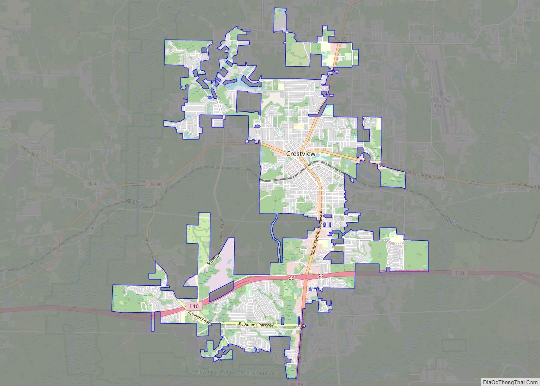
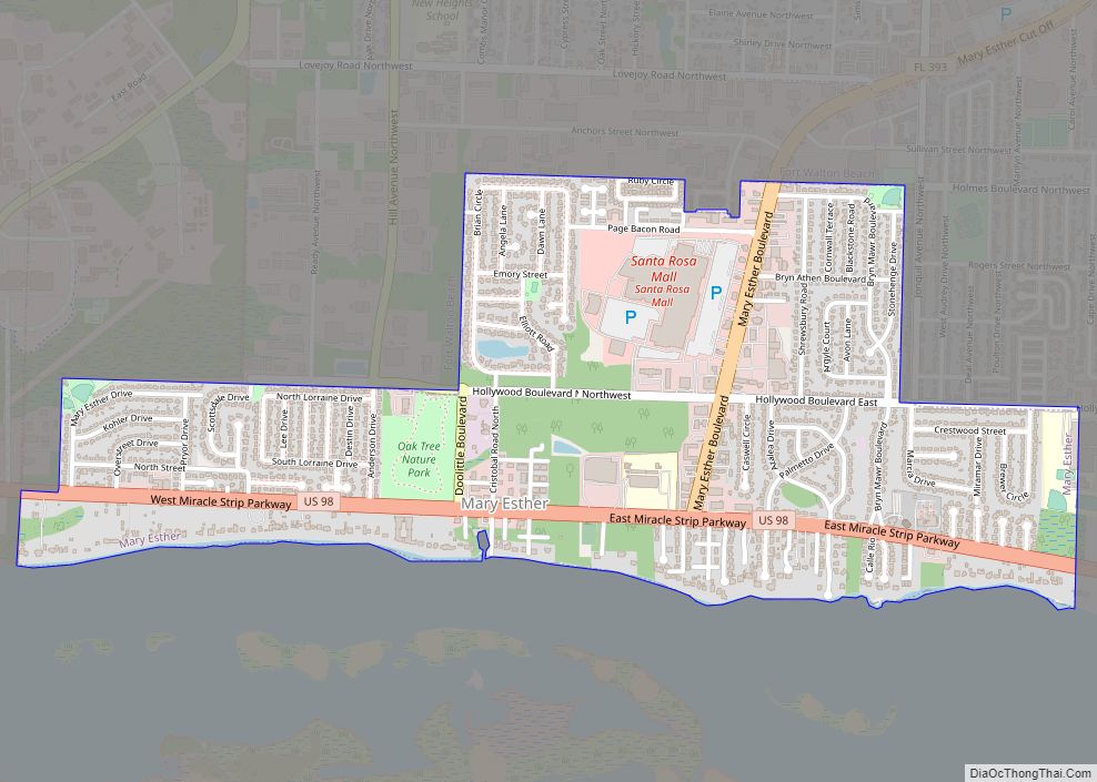
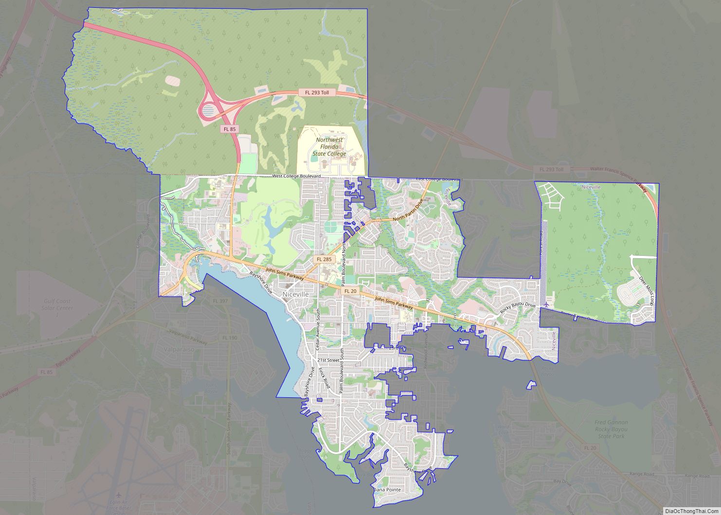
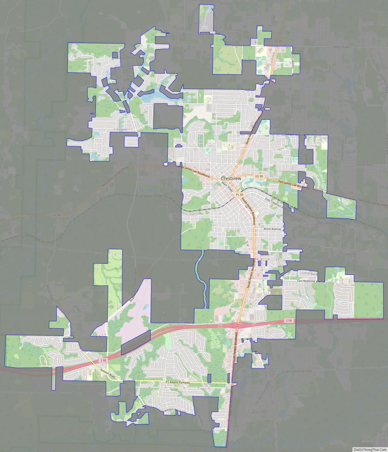
Crestview Road Map
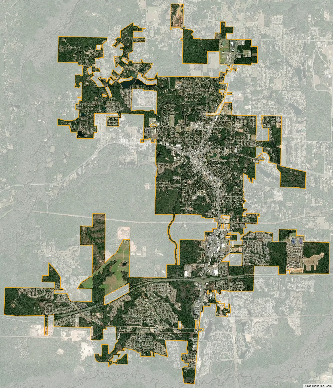
Crestview city Satellite Map
Geography
Topography
Crestview is a very hilly to flat area in the central panhandle 30°45′15″N 86°34′22″W / 30.754211°N 86.572650°W / 30.754211; -86.572650 also it is located halfway between Destin and Pensacola
According to the United States Census Bureau, the city has a total area of 12.8 square miles (33 km), of which 12.8 square miles (33 km) is land and 0.04 square miles (0.10 km) (0.23%) is water.
Climate
Crestview’s climate is officially described as humid subtropical (Köppen Cfa). In summer, Crestview has some of the hottest temperatures in the state, with an average summer high of 92 °F (33 °C). Lows in summer average in the high 60s to low 70s, with each year seeing a handful of 100 °F+ days. The all-time record high is 105 °F (41 °C), recorded on July 14, 1980.
Winters compare to those of interior Alabama, Mississippi, and Georgia. Highs average in the lower to mid 60s (16°-19 °C), and lows average upper 30s (almost 4 °C). The all-time record low is 8 °F (−13 °C), on January 13, 1981; however, nearby areas such as DeFuniak Springs and Tallahassee went below 0 F before the airport records for Crestview began. The city lies within the USDA Hardiness Zone 8, the coldest temperature of the season is typically between 10 °F (−12 °C) and 20 °F (−7 °C); averages 38.5 nights where the temperature falls below freezing, with the average window for freezes being November 10 through March 23. Snowfall occurs every three years on average, however, significant amounts only happen once every 10 years.
Vegetation here consists of typical Floridian vegetation as well as several deciduous species from further north. Some palm trees are found here, although only cold-hardy varieties like the state tree, the Sabal palmetto, as well as types of dogwood, maple, hickory, and sweet gum. Blueberries are a native crop raised for sale locally, in addition to Strawberries. In 1919, M.A. Sapp reported shipping his blueberries from May 10 until the end of August, netting $605.85 for his crop, in addition to that which he shared with friends and family. Fall foliage can be seen in November and December, and Spring blossoms occur from early March through May. Summer typically lasts from late April to early October, and winter lasts from mid-December through mid-February.
See also
Map of Florida State and its subdivision:- Alachua
- Baker
- Bay
- Bradford
- Brevard
- Broward
- Calhoun
- Charlotte
- Citrus
- Clay
- Collier
- Columbia
- Desoto
- Dixie
- Duval
- Escambia
- Flagler
- Franklin
- Gadsden
- Gilchrist
- Glades
- Gulf
- Hamilton
- Hardee
- Hendry
- Hernando
- Highlands
- Hillsborough
- Holmes
- Indian River
- Jackson
- Jefferson
- Lafayette
- Lake
- Lee
- Leon
- Levy
- Liberty
- Madison
- Manatee
- Marion
- Martin
- Miami-Dade
- Monroe
- Nassau
- Okaloosa
- Okeechobee
- Orange
- Osceola
- Palm Beach
- Pasco
- Pinellas
- Polk
- Putnam
- Saint Johns
- Saint Lucie
- Santa Rosa
- Sarasota
- Seminole
- Sumter
- Suwannee
- Taylor
- Union
- Volusia
- Wakulla
- Walton
- Washington
- Alabama
- Alaska
- Arizona
- Arkansas
- California
- Colorado
- Connecticut
- Delaware
- District of Columbia
- Florida
- Georgia
- Hawaii
- Idaho
- Illinois
- Indiana
- Iowa
- Kansas
- Kentucky
- Louisiana
- Maine
- Maryland
- Massachusetts
- Michigan
- Minnesota
- Mississippi
- Missouri
- Montana
- Nebraska
- Nevada
- New Hampshire
- New Jersey
- New Mexico
- New York
- North Carolina
- North Dakota
- Ohio
- Oklahoma
- Oregon
- Pennsylvania
- Rhode Island
- South Carolina
- South Dakota
- Tennessee
- Texas
- Utah
- Vermont
- Virginia
- Washington
- West Virginia
- Wisconsin
- Wyoming