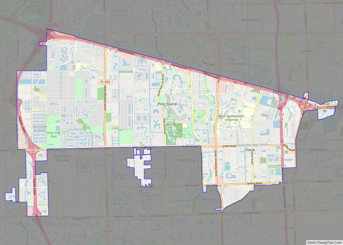
Davie is a town in Broward County, Florida, United States, approximately 24 miles (39 km) north of Miami. The town’s population was 110,320 at the 2020 census, making it the largest town of Florida by population in this census. Davie is a principal town of the Miami metropolitan area, which was home to an estimated 6,198,782. ... Read more
Florida Cities and Places
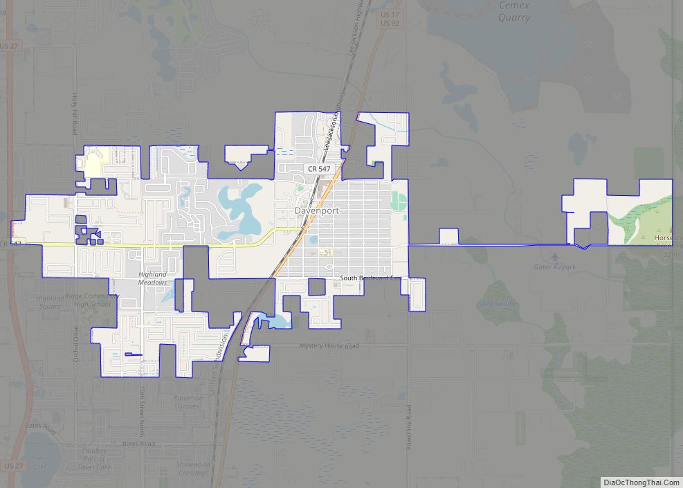
Davenport is a city in Polk County, Florida, United States. The population was 9,040 at the 2020 census. While the city of Davenport itself is very small, the area north of the city close to Interstate 4 and US 27 is experiencing explosive growth. It is part of the Lakeland–Winter Haven Metropolitan Statistical Area. The ... Read more
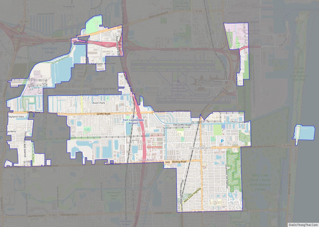
Dania Beach (Dania until 1998) is a city in Broward County, Florida, United States. As of the 2020 census, the city’s population was 31,723. It is part of the South Florida metropolitan area, which was home to 5,564,635 people at the 2010 census. Dania Beach is the location of one of the largest jai alai ... Read more
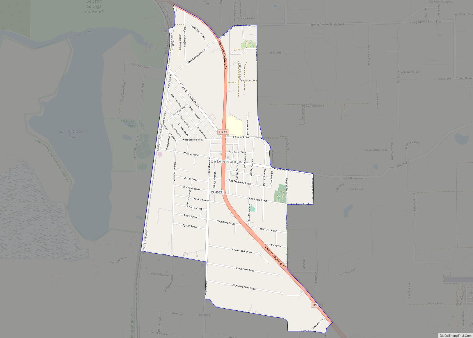
DeLeon Springs (/dəˈliːən/) is a census-designated place (CDP) in Volusia County, Florida, United States. The population was 2,614 at the 2010 census. De Leon Springs State Park is located in DeLeon Springs, as is the Strawn Historic Citrus Packing House District. De Leon Springs CDP overview: Name: De Leon Springs CDP LSAD Code: 57 LSAD ... Read more
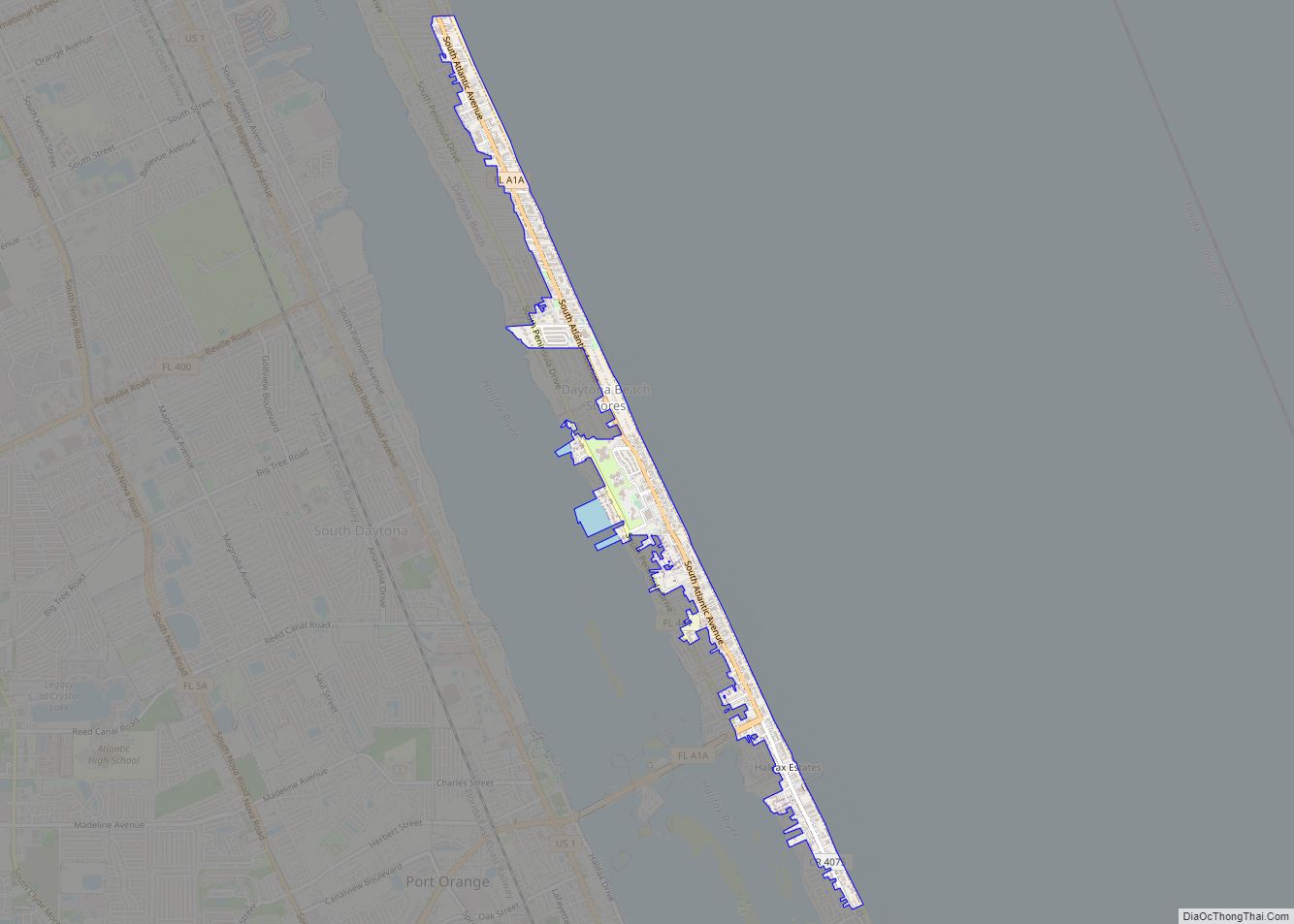
Daytona Beach Shores is a city in Volusia County, Florida, United States. The population was 5,179 at the 2020 census. Daytona Beach Shores city overview: Name: Daytona Beach Shores city LSAD Code: 25 LSAD Description: city (suffix) State: Florida County: Volusia County Incorporated: April 1960 Elevation: 15 ft (5 m) Total Area: 0.88 sq mi (2.28 km²) Land Area: 0.85 sq mi ... Read more
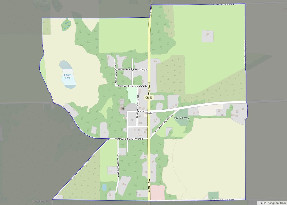
Day is an unincorporated community and census-designated place in Lafayette County, Florida, United States. Its population was 89 as of the 2020 census. Day has a post office with ZIP code 32013. Day CDP overview: Name: Day CDP LSAD Code: 57 LSAD Description: CDP (suffix) State: Florida County: Lafayette County Elevation: 85 ft (26 m) Total Area: ... Read more
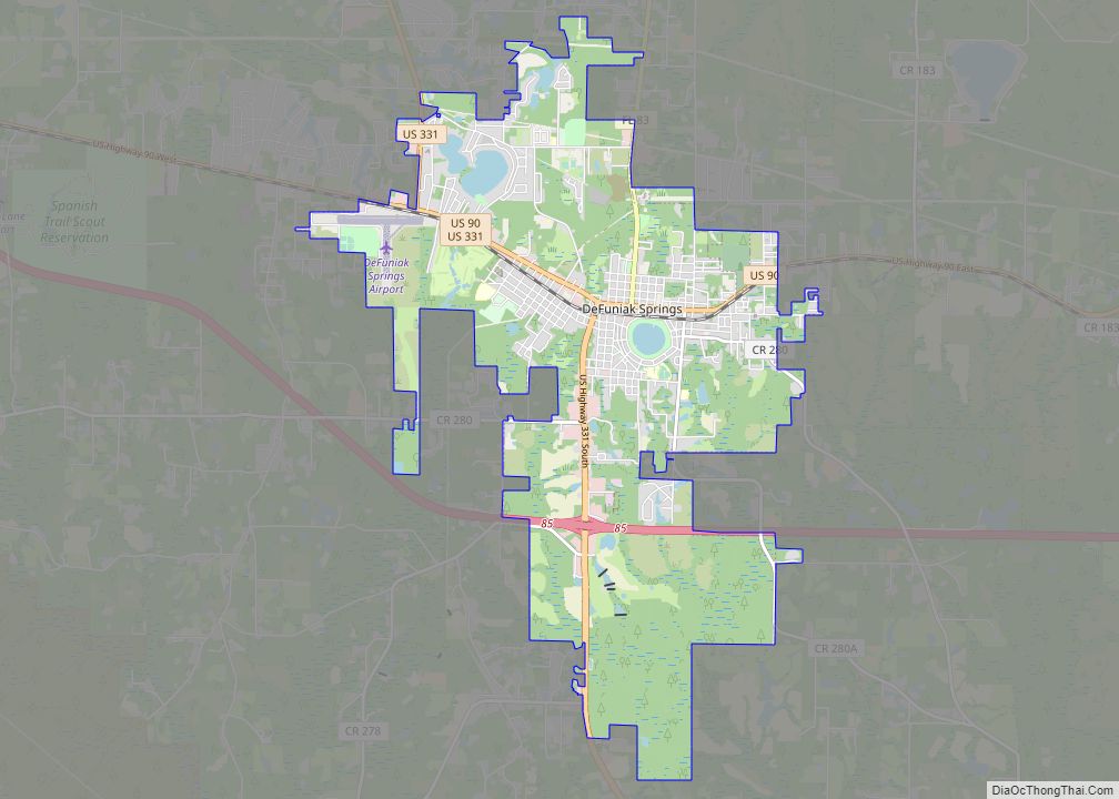
DeFuniak Springs is a city and the county seat of Walton County, Florida, United States. The population was 6,968 as of the 2020 Census. DeFuniak Springs also serves as a hub for many residents in surrounding communities. In 2019, MSN’s Insider Online named the city as the “best small town in Florida”. DeFuniak Springs is ... Read more
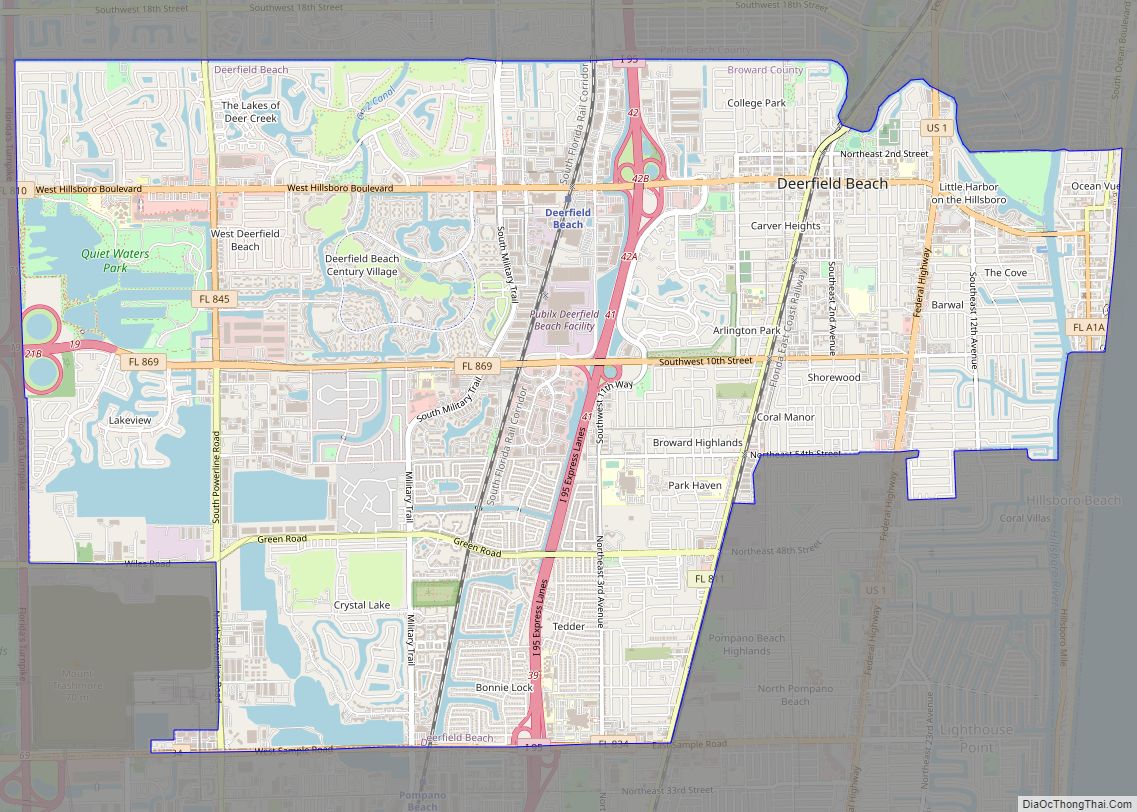
Deerfield Beach is a city in Broward County, Florida, United States, just south of the Palm Beach County line. The city is named for the numerous deer that once roamed the area. As of the 2020 census, the population was 88,859. It is a principal city of the Miami metropolitan area, which is home to ... Read more
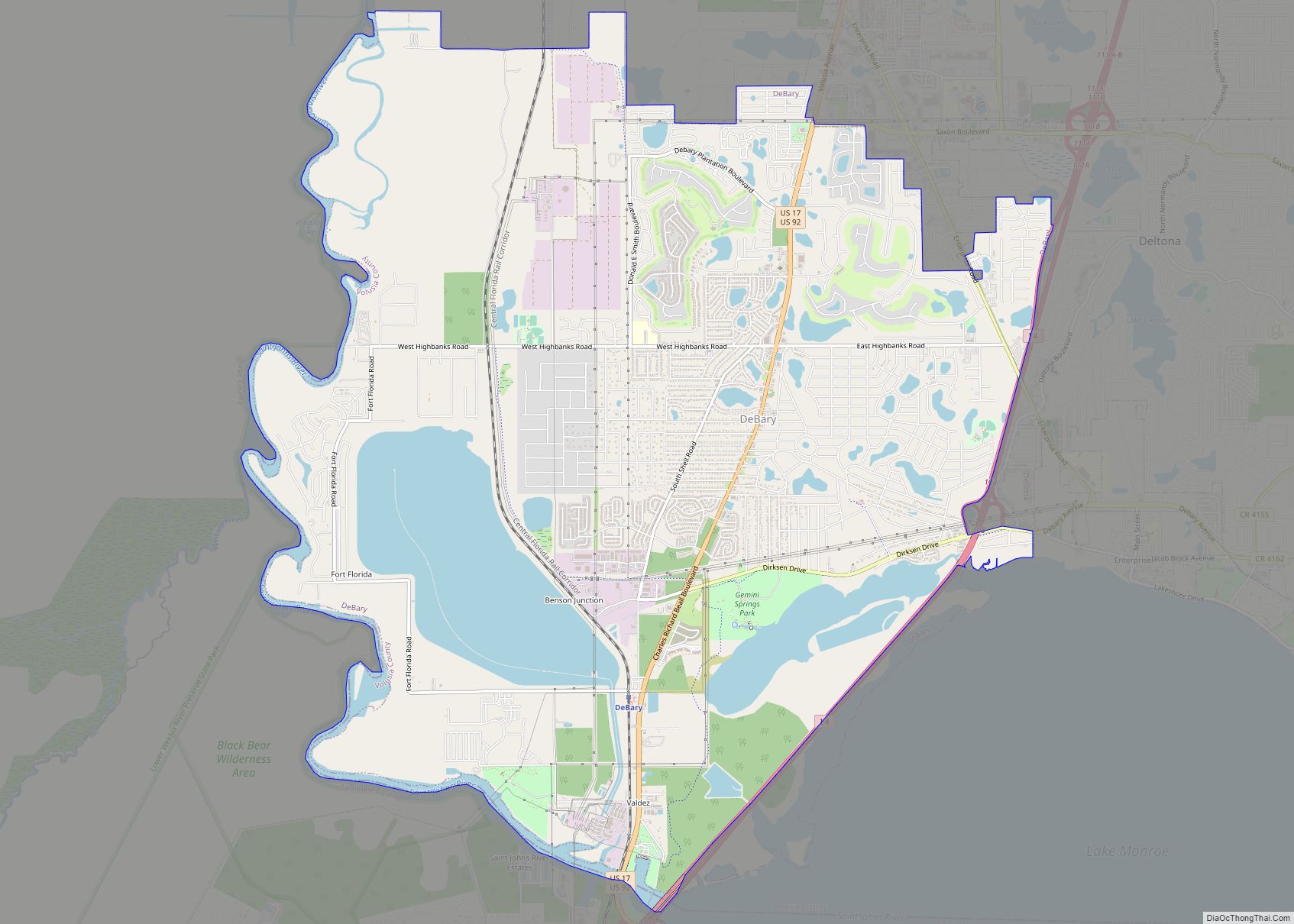
DeBary is a city in Volusia County, Florida, United States, on the eastern shore of the St. Johns River near Lake Monroe. According to the 2020 U.S. Census, the city had a population of 20,696. It is part of the Deltona–Daytona Beach–Ormond Beach, FL metropolitan statistical area, which was home to 553,284 people in 2019. ... Read more
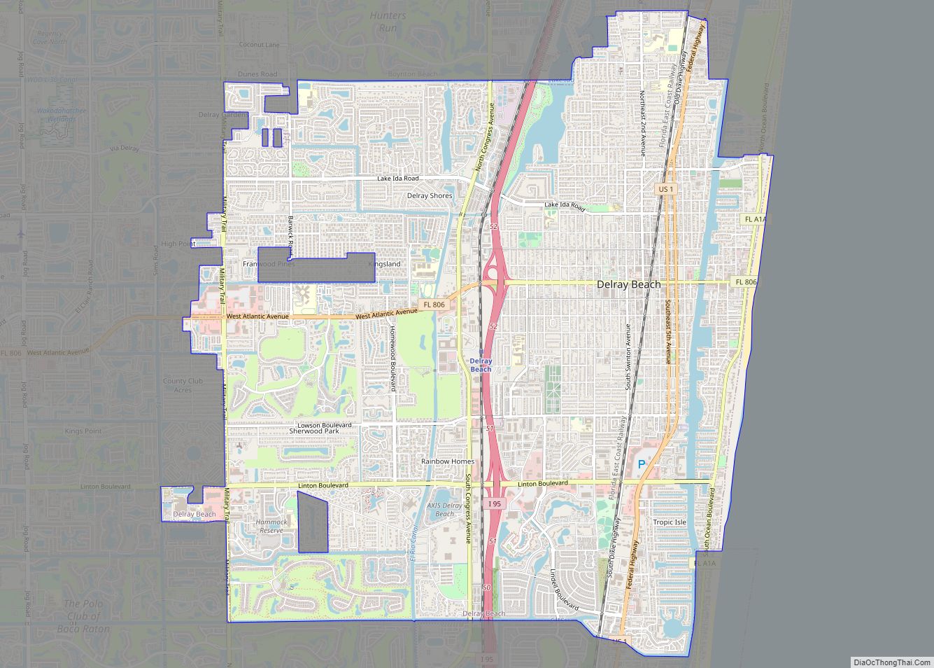
Delray Beach is a city in Palm Beach County, Florida, United States. The population of Delray Beach as of April 1, 2020 was 66,846 according to the 2020 United States Census. Located 52 miles (83 kilometers) north of Miami, Delray Beach is in the Miami metropolitan area. Delray Beach city overview: Name: Delray Beach city ... Read more
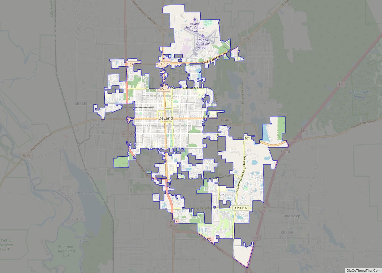
DeLand is a city in and the county seat of Volusia County, Florida, United States. The city sits approximately 34 miles (55 km) north of the central business district of Orlando, and approximately 23 miles (37 km) west of the central business district of Daytona Beach. As of the 2020 U.S. census, the population was 37,351. It ... Read more
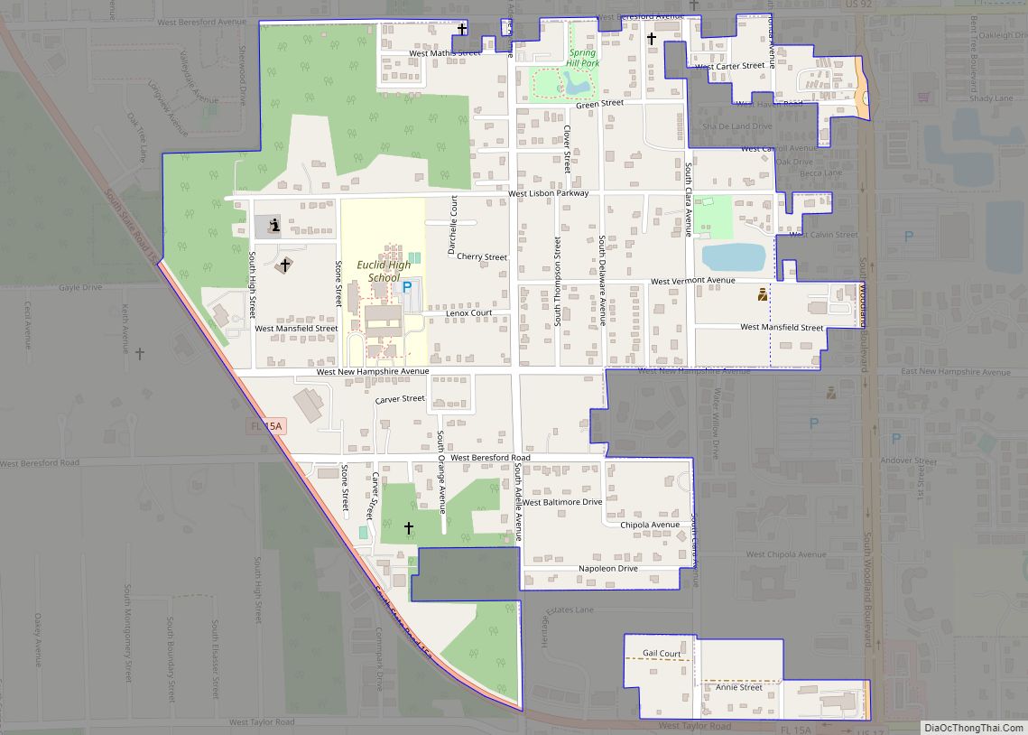
DeLand Southwest is an unincorporated census-designated place located in Volusia County, Florida, United States. The population was 1,056 at the 2020 census. DeLand Southwest CDP overview: Name: DeLand Southwest CDP LSAD Code: 57 LSAD Description: CDP (suffix) State: Florida County: Volusia County Total Area: 0.61 sq mi (1.58 km²) Land Area: 0.61 sq mi (1.58 km²) Water Area: 0.00 sq mi (0.00 km²) Total ... Read more
