Daytona Beach Shores is a city in Volusia County, Florida, United States. The population was 5,179 at the 2020 census.
| Name: | Daytona Beach Shores city |
|---|---|
| LSAD Code: | 25 |
| LSAD Description: | city (suffix) |
| State: | Florida |
| County: | Volusia County |
| Incorporated: | April 1960 |
| Elevation: | 15 ft (5 m) |
| Total Area: | 0.88 sq mi (2.28 km²) |
| Land Area: | 0.85 sq mi (2.20 km²) |
| Water Area: | 0.03 sq mi (0.08 km²) 3.56% |
| Total Population: | 5,179 |
| Population Density: | 6,092.94/sq mi (2,352.26/km²) |
| ZIP code: | 32118 |
| Area code: | 386 |
| FIPS code: | 1216550 |
| GNISfeature ID: | 0281354 |
| Website: | http://www.dbshores.org/ |
Online Interactive Map
Click on ![]() to view map in "full screen" mode.
to view map in "full screen" mode.
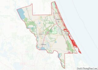
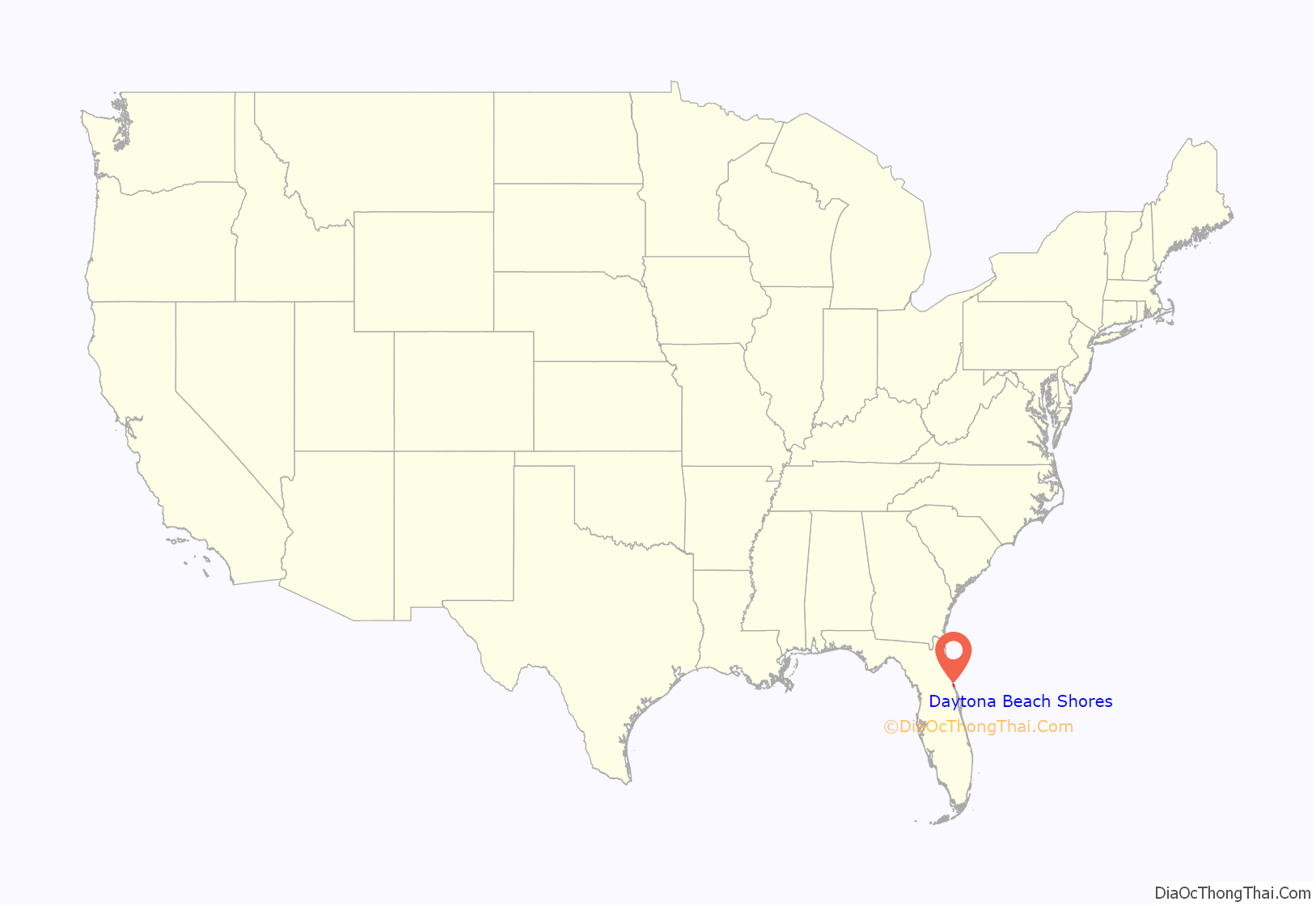
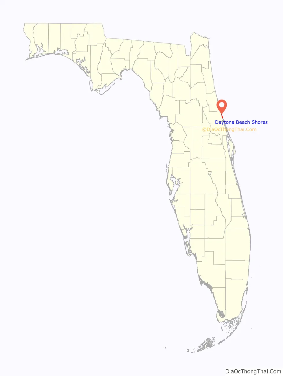
Daytona Beach Shores location map. Where is Daytona Beach Shores city?
History
Daytona Beach Shores was first organized in 1960 by local business leaders convinced that a smaller community could provide better services to its residents. The city was incorporated on April 22, 1960.
In the 1970s and the 1980s, the city saw a massive building program. Now about 80 percent of the residents live in high-rise condominiums that stretch along the Atlantic Ocean.
A resort and retirement community built on tourism and the service industry, Daytona Beach Shores has no manufacturing industry, but caters to tourists year-round with miniature golf courses and other types of family entertainment.
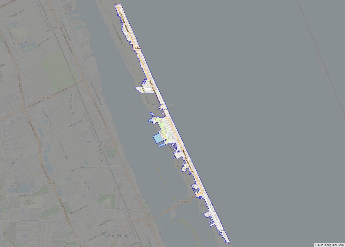
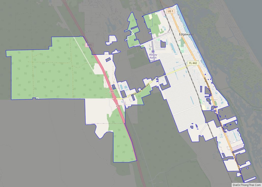
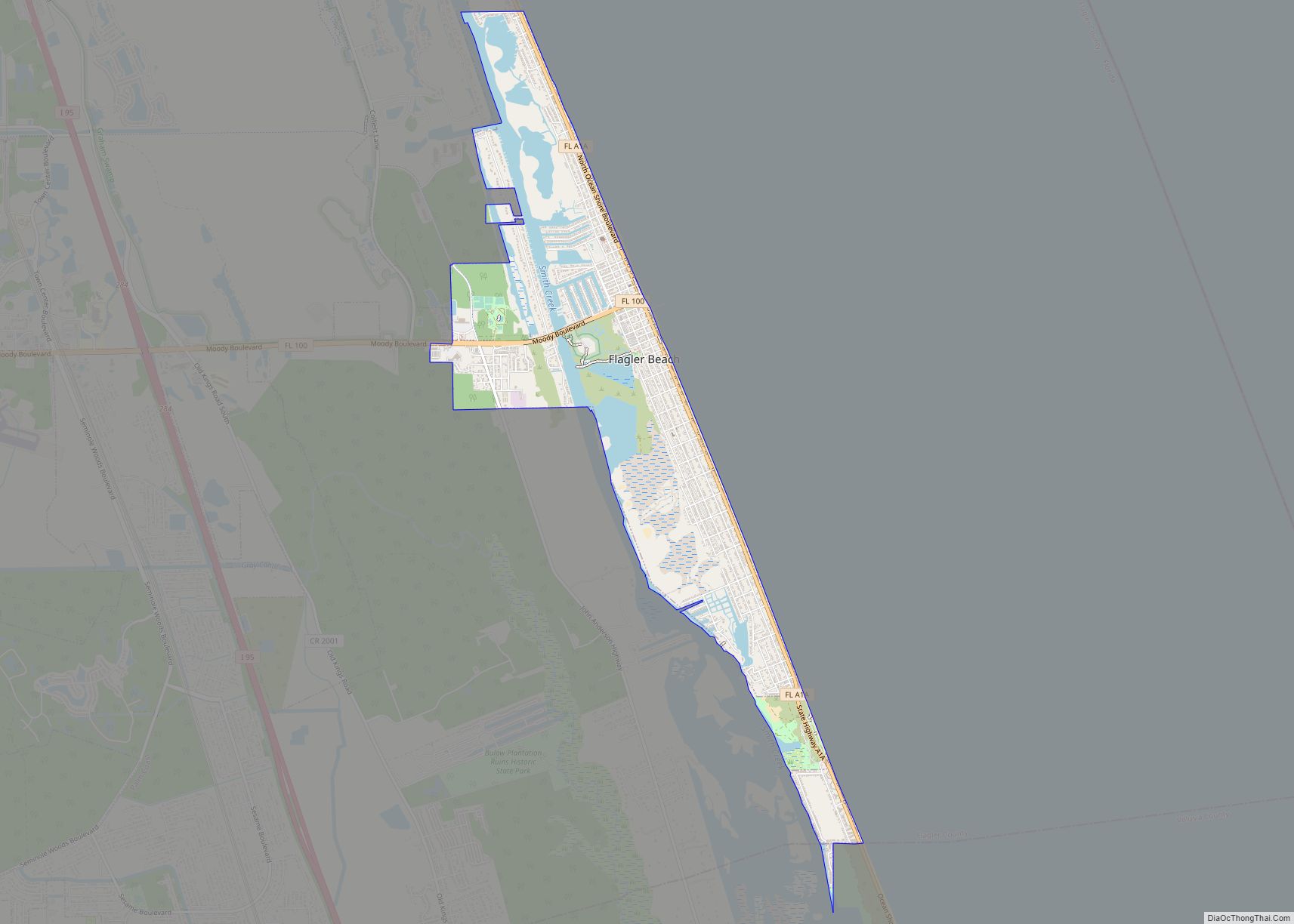
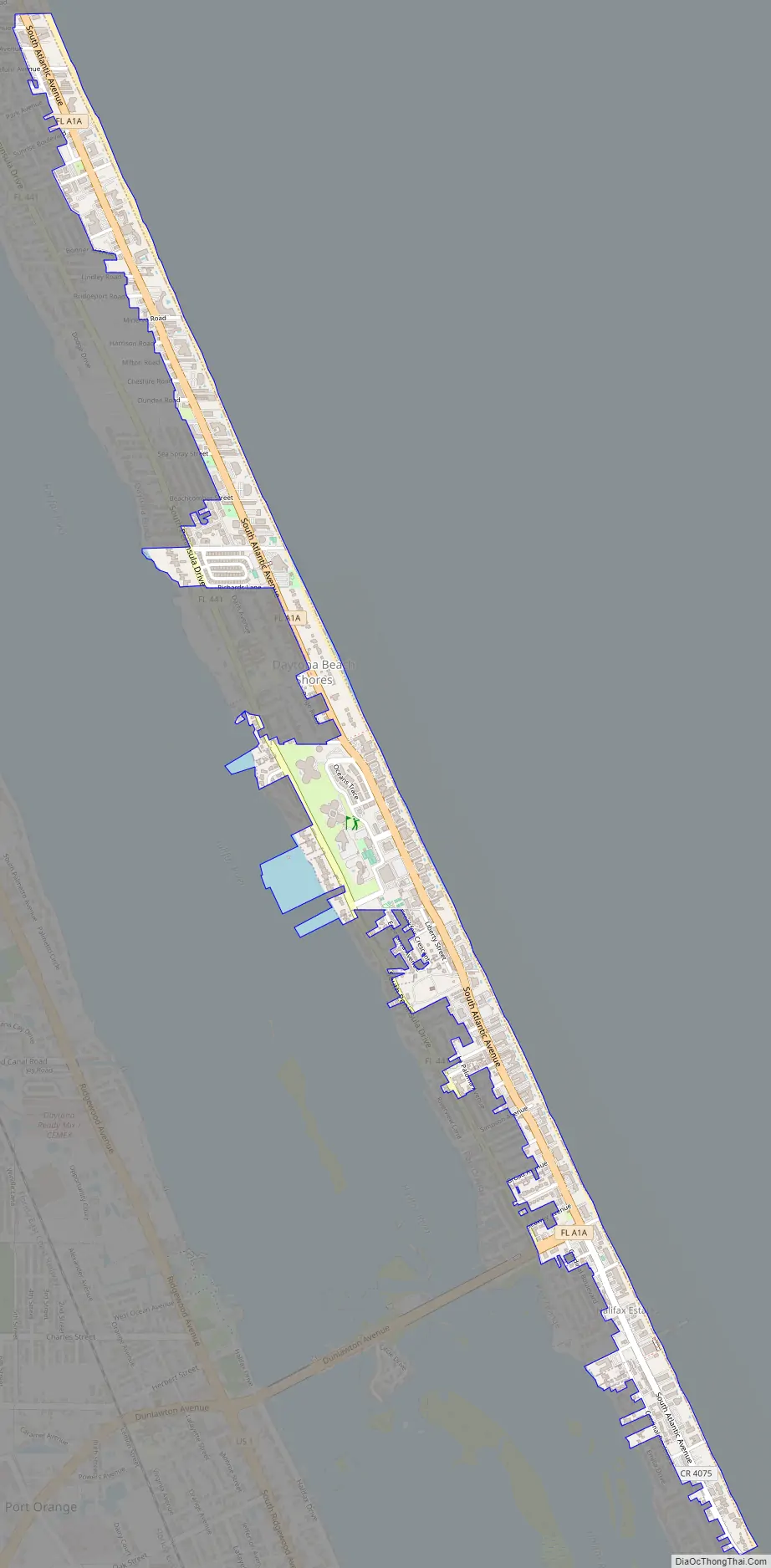
Daytona Beach Shores Road Map
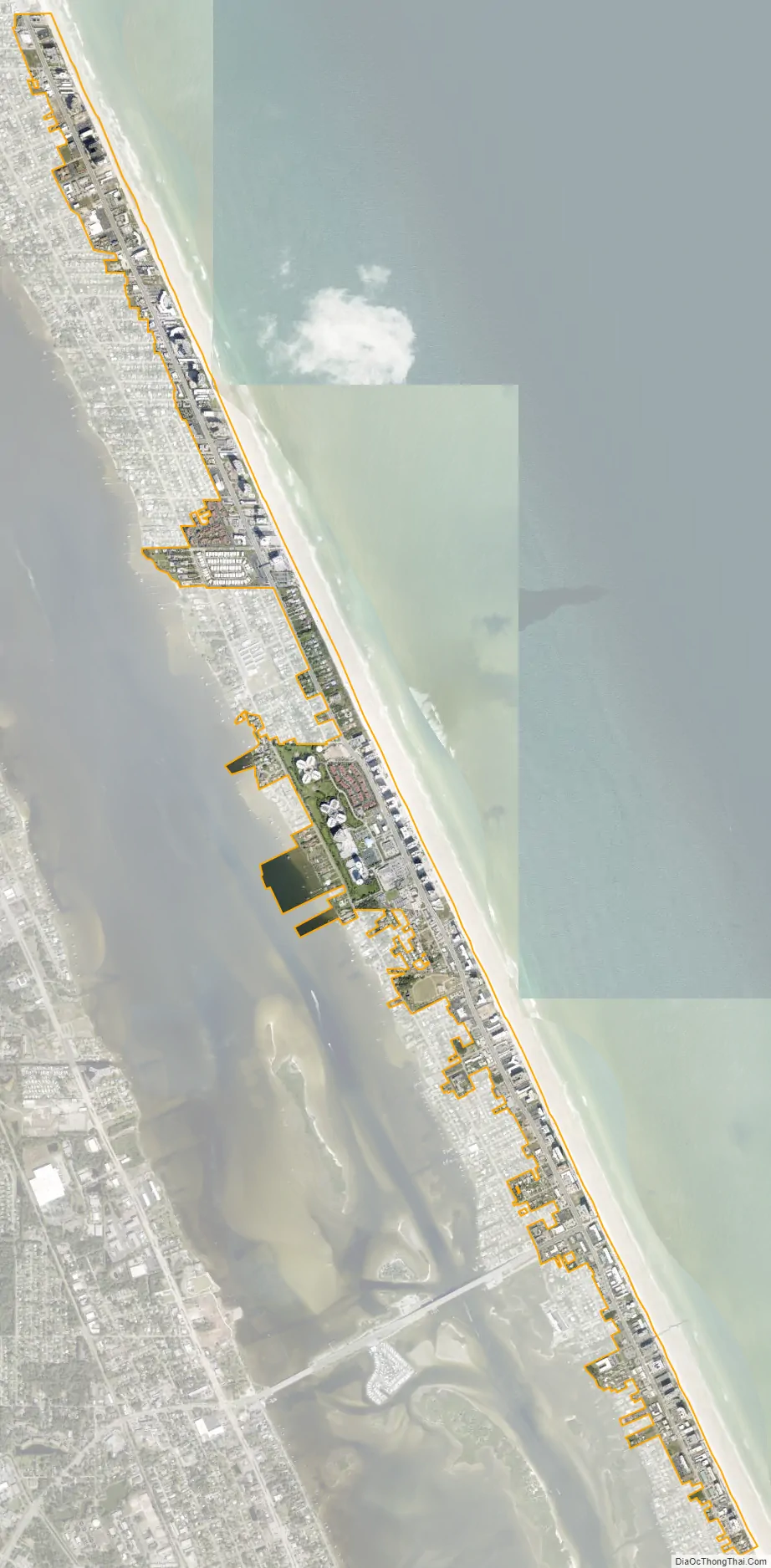
Daytona Beach Shores city Satellite Map
Geography
According to the United States Census Bureau, the city has a total area of 0.90 square miles (2.34 km), of which 0.90 square miles (2.33 km) is land and 0.039 square miles (0.1 km) (3.56%) is water.
The city of Daytona Beach Shores is located on a barrier island along the Atlantic Ocean. The other side of the island (the west side) is bordered by the Halifax River lagoon, part of the Intracoastal Waterway. The city is bordered on the north by Daytona Beach and on the south by Wilbur-by-the-Sea, and Port Orange. The major highway that serves the city is State Road A1A/Atlantic Avenue.
Daytona Beach Shores has a humid subtropical climate, typical for a city in the southeastern United States. Summers are hot and humid, with highs usually in the 90s and a heat index often exceeding 100 degrees. Thunderstorms are frequent in summer afternoons, and the hot, humid weather can last right through the fall months. Winters are dry and mild, marked by a constant series of cold fronts and warm-ups. Temperatures dip into the low 30s and upper 20s on occasion, and freezes are not uncommon. Frost usually occurs a few times a year, but snowfall is very rare. The last time snow flurries fell on the city of Daytona Beach Shores was in December 2007. Temperatures in spring feature warm afternoons, cool evenings, and far less humidity. This beach-going weather attracts tourists to the beaches, usually by early March.
See also
Map of Florida State and its subdivision:- Alachua
- Baker
- Bay
- Bradford
- Brevard
- Broward
- Calhoun
- Charlotte
- Citrus
- Clay
- Collier
- Columbia
- Desoto
- Dixie
- Duval
- Escambia
- Flagler
- Franklin
- Gadsden
- Gilchrist
- Glades
- Gulf
- Hamilton
- Hardee
- Hendry
- Hernando
- Highlands
- Hillsborough
- Holmes
- Indian River
- Jackson
- Jefferson
- Lafayette
- Lake
- Lee
- Leon
- Levy
- Liberty
- Madison
- Manatee
- Marion
- Martin
- Miami-Dade
- Monroe
- Nassau
- Okaloosa
- Okeechobee
- Orange
- Osceola
- Palm Beach
- Pasco
- Pinellas
- Polk
- Putnam
- Saint Johns
- Saint Lucie
- Santa Rosa
- Sarasota
- Seminole
- Sumter
- Suwannee
- Taylor
- Union
- Volusia
- Wakulla
- Walton
- Washington
- Alabama
- Alaska
- Arizona
- Arkansas
- California
- Colorado
- Connecticut
- Delaware
- District of Columbia
- Florida
- Georgia
- Hawaii
- Idaho
- Illinois
- Indiana
- Iowa
- Kansas
- Kentucky
- Louisiana
- Maine
- Maryland
- Massachusetts
- Michigan
- Minnesota
- Mississippi
- Missouri
- Montana
- Nebraska
- Nevada
- New Hampshire
- New Jersey
- New Mexico
- New York
- North Carolina
- North Dakota
- Ohio
- Oklahoma
- Oregon
- Pennsylvania
- Rhode Island
- South Carolina
- South Dakota
- Tennessee
- Texas
- Utah
- Vermont
- Virginia
- Washington
- West Virginia
- Wisconsin
- Wyoming