Dania Beach (Dania until 1998) is a city in Broward County, Florida, United States. As of the 2020 census, the city’s population was 31,723. It is part of the South Florida metropolitan area, which was home to 5,564,635 people at the 2010 census. Dania Beach is the location of one of the largest jai alai frontons in the United States, The Casino at Dania Beach. It was formerly the location for two amusement centers; one named Boomers! (formerly Grand Prix Race-O-Rama), which housed the Dania Beach Hurricane roller coaster, and the other being Pirates World amusement park, which was featured in Barry Mahon’s Thumbelina. It is also home to the International Game Fish Association Hall of Fame and Museum.
| Name: | Dania Beach city |
|---|---|
| LSAD Code: | 25 |
| LSAD Description: | city (suffix) |
| State: | Florida |
| County: | Broward County |
| Elevation: | 9 ft (3 m) |
| Total Area: | 8.35 sq mi (21.62 km²) |
| Land Area: | 7.83 sq mi (20.28 km²) |
| Water Area: | 0.52 sq mi (1.34 km²) 3.04% |
| Total Population: | 31,723 |
| Population Density: | 4,051.47/sq mi (1,564.23/km²) |
| ZIP code: | 33004 |
| Area code: | 754, 954 |
| FIPS code: | 1216335 |
| GNISfeature ID: | 0281279 |
| Website: | www.daniabeachfl.gov |
Online Interactive Map
Click on ![]() to view map in "full screen" mode.
to view map in "full screen" mode.
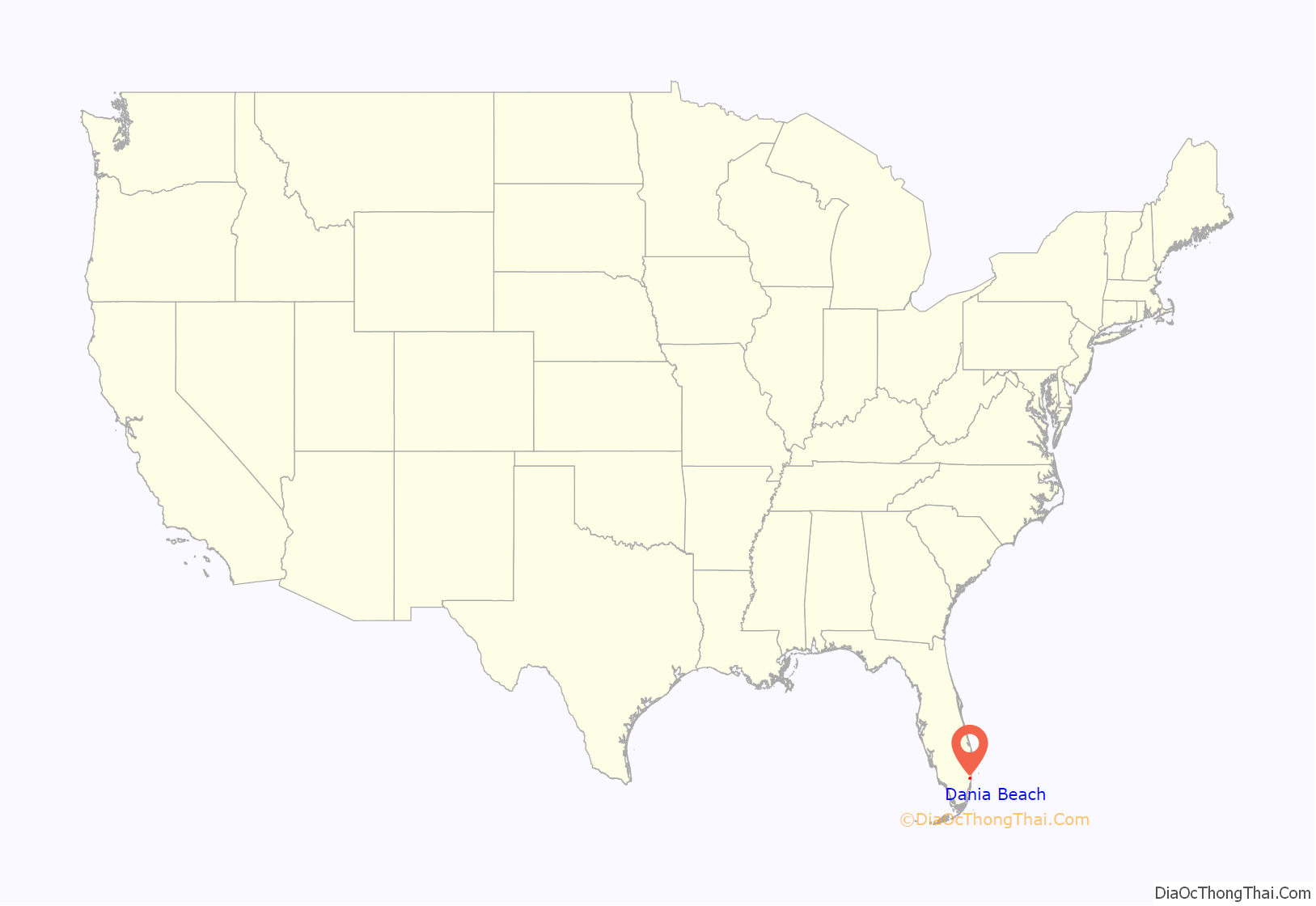
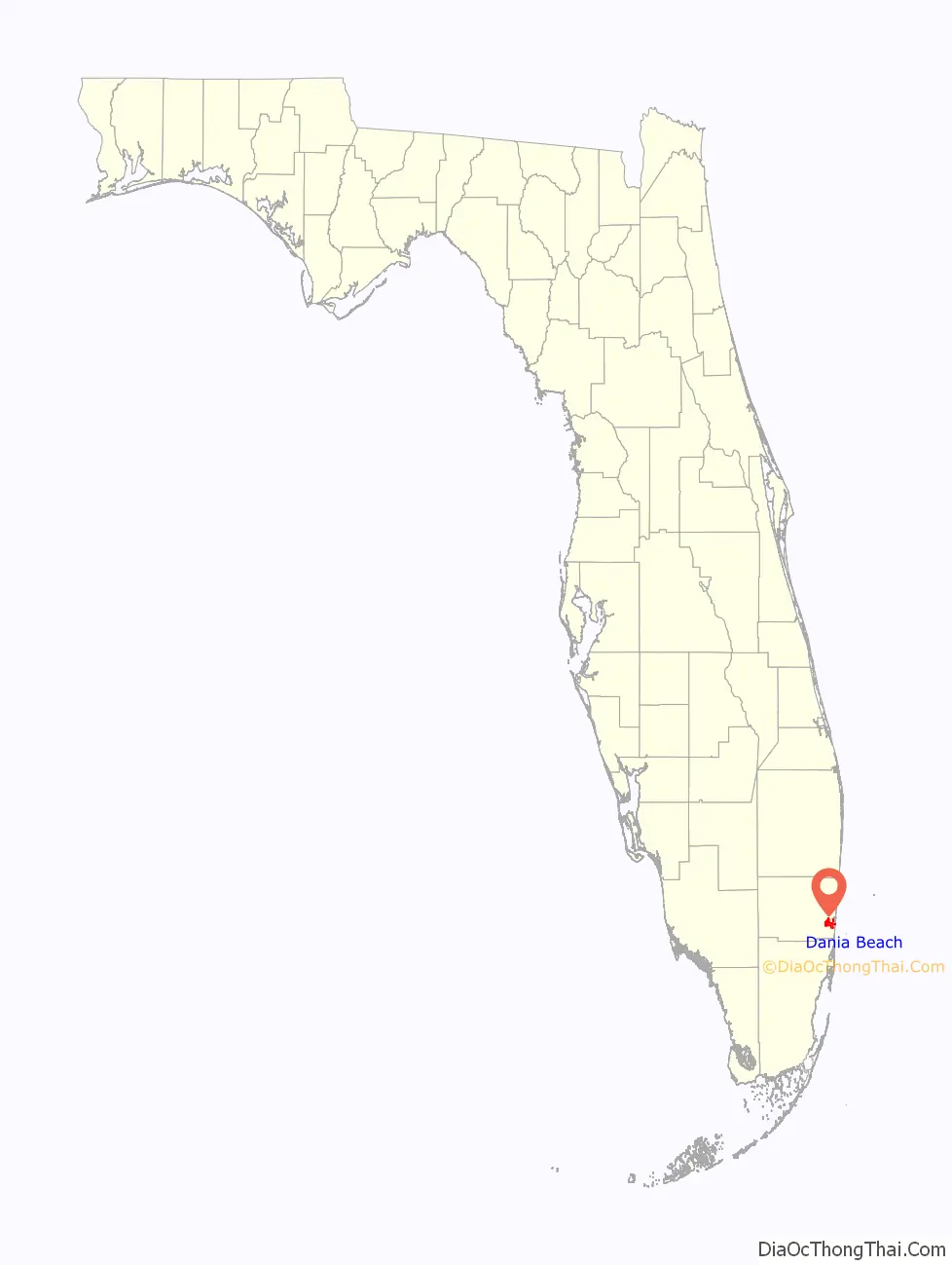
Dania Beach location map. Where is Dania Beach city?
History
The area was started as a neighborhood called Modello in the late 19th century. In November 1904, the area was incorporated as the town of Dania, because most of the 35 residents were farmers of Danish ancestry. On January 4, 1926, Dania voted to annex itself to the City of Hollywood.
After the September 1926 Miami hurricane decimated Hollywood’s fortunes, most of Dania seceded from the City of Hollywood and reincorporated as a city. The areas that chose to remain part of the City of Hollywood caused Dania’s current noncontinuous city boundaries. In November 1998, Dania formally changed its name to Dania Beach. The name Dania is still commonly used to refer to the city.
In 2001, the city annexed several unincorporated areas of Broward County, increasing its population by about 3,600 people.
Formerly known as the “Tomato Capital of the World”, once the city went from a farming settlement to an urban city, it soon took on the name “Antique Capital of the South”, due to many antique shops in downtown Dania Beach, especially along Federal Highway, known as the city’s “Antique Row”.
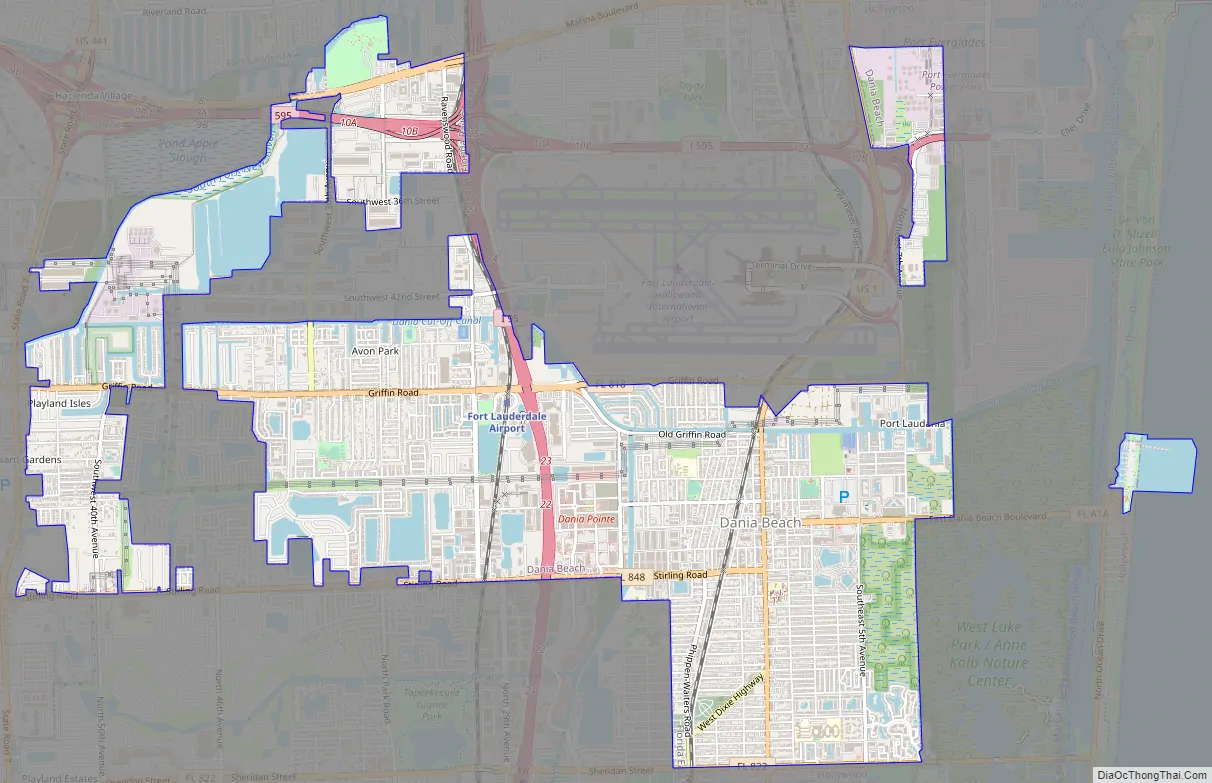
Dania Beach Road Map
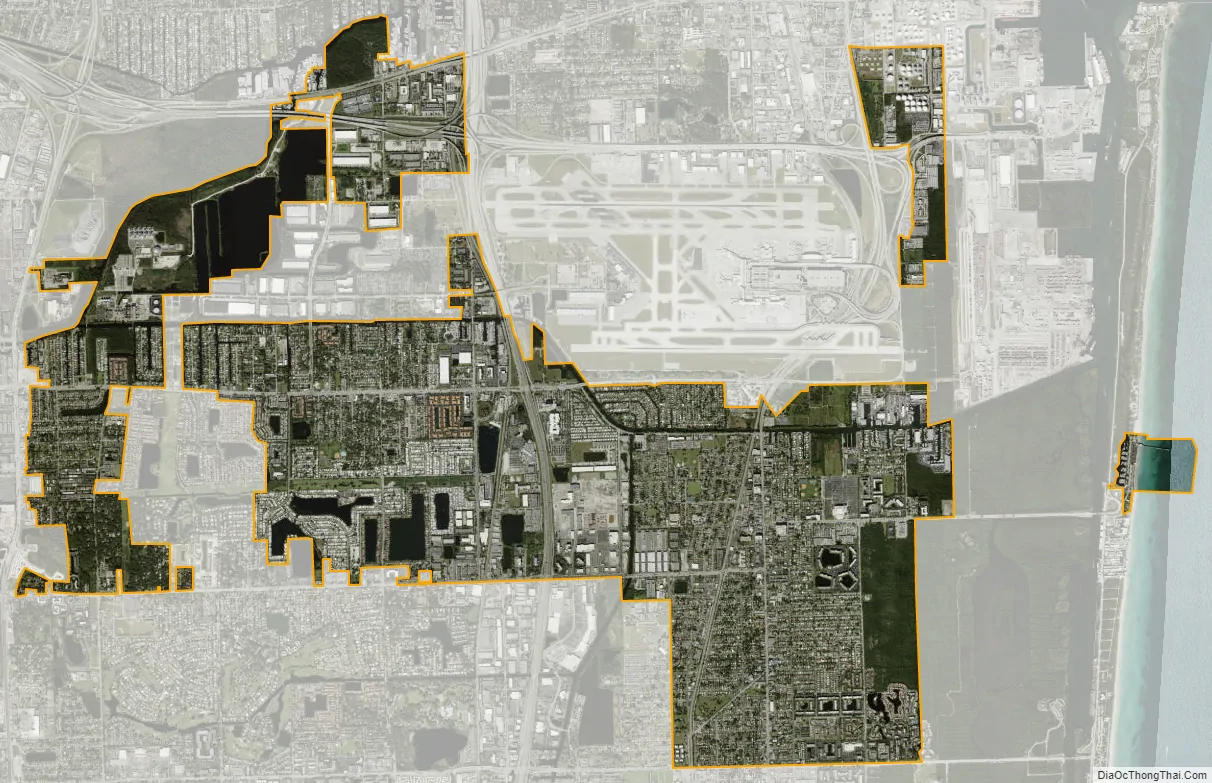
Dania Beach city Satellite Map
Geography
Dania Beach is located at 26°03′18″N 80°09′11″W / 26.054916°N 80.153119°W / 26.054916; -80.153119. According to the United States Census Bureau, the city has a total area of 8.3 sq mi (21.6 km), of which 0.27 sq mi (0.7 km) (3.04%) is covered by water.
Dania Beach’s boundaries are Fort Lauderdale to the north, Hollywood to the south, Hollywood and the Atlantic Ocean to the east, and Davie along with the Hollywood Seminole Indian Reservation to the west of the city.
Dania Beach is adjacent to Fort Lauderdale-Hollywood International Airport.
See also
Map of Florida State and its subdivision:- Alachua
- Baker
- Bay
- Bradford
- Brevard
- Broward
- Calhoun
- Charlotte
- Citrus
- Clay
- Collier
- Columbia
- Desoto
- Dixie
- Duval
- Escambia
- Flagler
- Franklin
- Gadsden
- Gilchrist
- Glades
- Gulf
- Hamilton
- Hardee
- Hendry
- Hernando
- Highlands
- Hillsborough
- Holmes
- Indian River
- Jackson
- Jefferson
- Lafayette
- Lake
- Lee
- Leon
- Levy
- Liberty
- Madison
- Manatee
- Marion
- Martin
- Miami-Dade
- Monroe
- Nassau
- Okaloosa
- Okeechobee
- Orange
- Osceola
- Palm Beach
- Pasco
- Pinellas
- Polk
- Putnam
- Saint Johns
- Saint Lucie
- Santa Rosa
- Sarasota
- Seminole
- Sumter
- Suwannee
- Taylor
- Union
- Volusia
- Wakulla
- Walton
- Washington
- Alabama
- Alaska
- Arizona
- Arkansas
- California
- Colorado
- Connecticut
- Delaware
- District of Columbia
- Florida
- Georgia
- Hawaii
- Idaho
- Illinois
- Indiana
- Iowa
- Kansas
- Kentucky
- Louisiana
- Maine
- Maryland
- Massachusetts
- Michigan
- Minnesota
- Mississippi
- Missouri
- Montana
- Nebraska
- Nevada
- New Hampshire
- New Jersey
- New Mexico
- New York
- North Carolina
- North Dakota
- Ohio
- Oklahoma
- Oregon
- Pennsylvania
- Rhode Island
- South Carolina
- South Dakota
- Tennessee
- Texas
- Utah
- Vermont
- Virginia
- Washington
- West Virginia
- Wisconsin
- Wyoming


