Map of Molino CDP

Map of Molino CDP

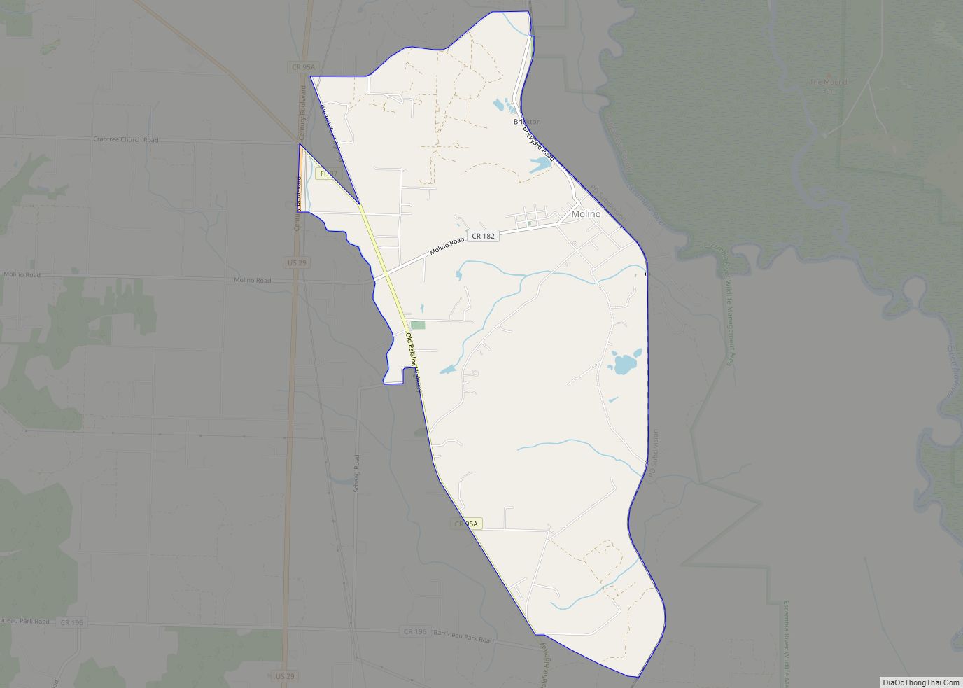
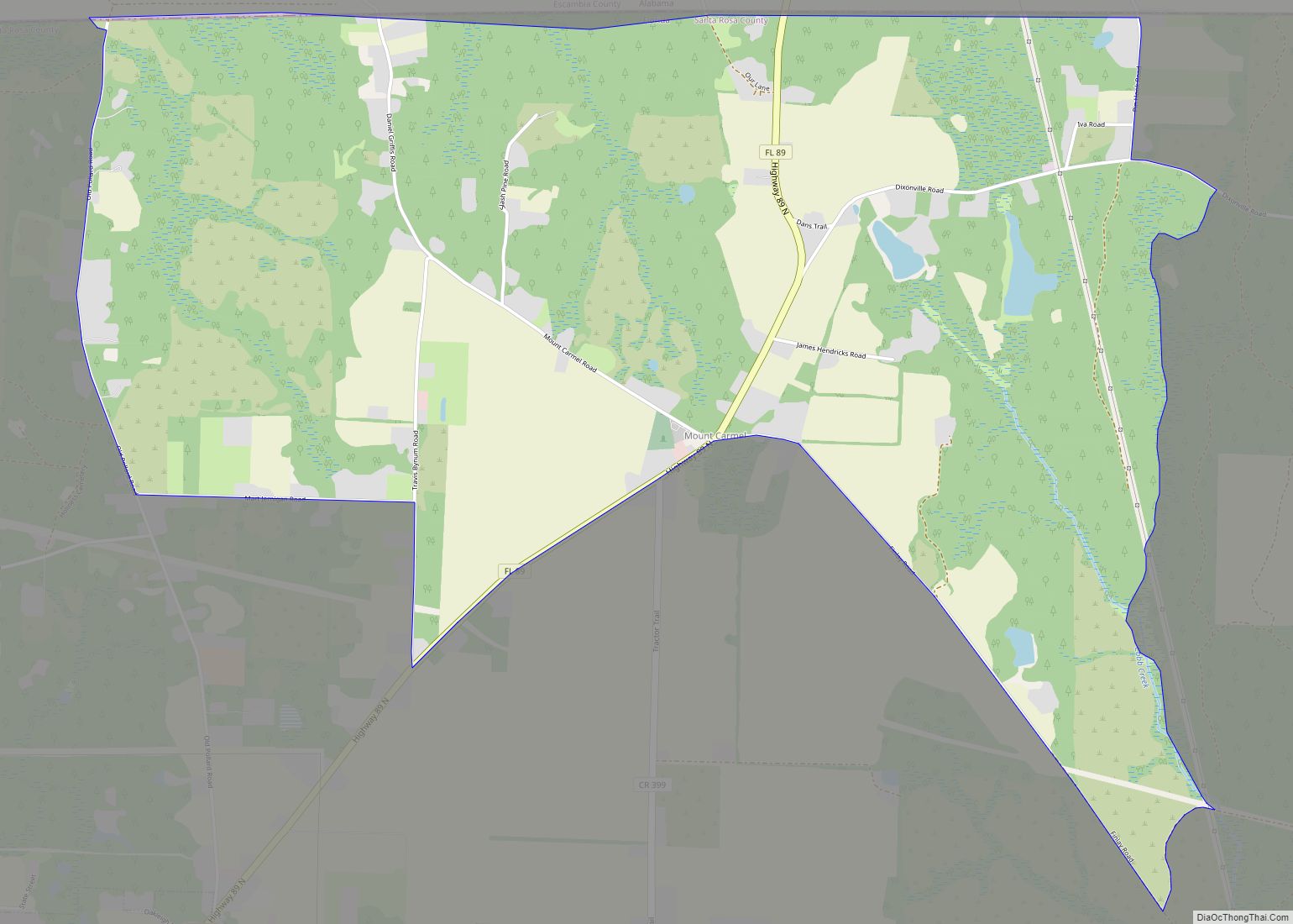
Molino is a census-designated place (CDP) in Escambia County, Florida, United States. The population was 1,277 at the 2010 census. It is part of the Pensacola–Ferry Pass–Brent Metropolitan Statistical Area. Molino CDP overview: Name: Molino CDP LSAD Code: 57 LSAD Description: CDP (suffix) State: Florida County: Escambia County Elevation: 36 ft (11 m) Total Area: 7.05 sq mi (18.25 km²) … Read more

Map of Miramar Beach CDP

Map of Miramar Beach CDP

Miramar Beach is a census-designated place (CDP) in Walton County, Florida, United States. The population was 6,146 at the 2010 census. Although many other coastal localities in Florida have appended “Beach” to their names to distinguish themselves from an adjacent inland or cross-bay municipality – such as Miami Beach, St. Pete Beach, Fort Myers Beach, … Read more

Map of Minneola city

Map of Minneola city, Florida

Minneola is a city in Lake County, Florida, United States. The population was 9,403 at the 2010 census. As of 2019, the population recorded by the U.S. Census Bureau is 12,595. It is part of the Orlando–Kissimmee–Sanford Metropolitan Statistical Area. The Minneola tangelo is named after the city. Minneola city overview: Name: Minneola city LSAD … Read more

Map of Montverde town

Map of Montverde town

Montverde is a town in Lake County, Florida, United States. The population was 1,655 at the 2020 census and an estimated 1,675 in 2018. It is part of the Orlando–Kissimmee–Sanford Metropolitan Statistical Area. Montverde town overview: Name: Montverde town LSAD Code: 43 LSAD Description: town (suffix) State: Florida County: Lake County Elevation: 75 ft (23 m) Total … Read more

Map of Montura CDP

Map of Montura CDP

Montura is an unincorporated community and census-designated place in Hendry County, Florida, United States. Montura CDP overview: Name: Montura CDP LSAD Code: 57 LSAD Description: CDP (suffix) State: Florida County: Hendry County Elevation: 26 ft (8 m) Total Area: 22.34 sq mi (57.85 km²) Land Area: 22.34 sq mi (57.85 km²) Water Area: 0.00 sq mi (0.00 km²) ZIP code: 33440 Area code: 863 FIPS code: … Read more

Map of Monticello city, Florida

Map of Monticello city, Florida

Monticello (/ˌmɒntɪˈsɛloʊ/ (listen) MON-tiss-EL-oh) is the only city and the county seat of Jefferson County, Florida, United States. The population was 2,506 at the 2010 census. The city is named after Monticello, the estate of the county’s namesake, Thomas Jefferson, on which the Jefferson County Courthouse (Monticello, Florida) was modeled. Monticello is home to Indian … Read more

Map of Morriston CDP

Map of Morriston CDP

Morriston is a census-designated place (CDP) in Levy County, Florida, United States. The population was 164 at the 2010 census. Morriston CDP overview: Name: Morriston CDP LSAD Code: 57 LSAD Description: CDP (suffix) State: Florida County: Levy County Elevation: 63 ft (19 m) Total Area: 0.41 sq mi (1.06 km²) Land Area: 0.41 sq mi (1.06 km²) Water Area: 0.00 sq mi (0.00 km²) Total Population: … Read more

Map of Moore Haven city

Map of Moore Haven city

Moore Haven is a city in, and the county seat of, Glades County, Florida, United States. The population was 1,680 at the 2010 census. Moore Haven is located on the southwest shoreline of Lake Okeechobee. Moore Haven city overview: Name: Moore Haven city LSAD Code: 25 LSAD Description: city (suffix) State: Florida County: Glades County … Read more

Map of Moon Lake CDP

Map of Moon Lake CDP

Moon Lake is an unincorporated area in Pasco County, Florida. Moon Lake Road passes through the area. Moon Lake was once home to the Moon Lake Gardens Dude Ranch, built between 1933 and 1937 by the owner of Clearwater, Florida‘s Fort Harrison Hotel, Ed Haley. The tourist resort included cottages, a casino, and gardens. Moon … Read more

Map of Mount Plymouth CDP

Map of Mount Plymouth CDP

Mount Plymouth is an unincorporated community and census-designated place (CDP) in Lake County, Florida, United States. As of the 2010 census, the CDP population was 4,011, up from 2,814 in 2000. It is part of the Orlando–Kissimmee Metropolitan Statistical Area. Mount Plymouth CDP overview: Name: Mount Plymouth CDP LSAD Code: 57 LSAD Description: CDP (suffix) … Read more

Map of Mount Dora city

Map of Mount Dora city

Mount Dora is a city in Lake County, Florida, USA. As of the 2010 census it had a population of 12,370, and in 2019 the population was estimated to be 14,516. It is part of the Orlando-Kissimmee, Florida, metropolitan statistical area. Founded in 1880, Mount Dora is known for its small-town southern charm. It has … Read more

Map of Mount Carmel CDP

Map of Mount Carmel CDP, Florida

Mount Carmel is an unincorporated community and census-designated place in Santa Rosa County, Florida, United States. Its population was 227 as of the 2010 census. Florida State Road 89 passes through the community. Mount Carmel CDP overview: Name: Mount Carmel CDP LSAD Code: 57 LSAD Description: CDP (suffix) State: Florida County: Santa Rosa County Elevation: … Read more