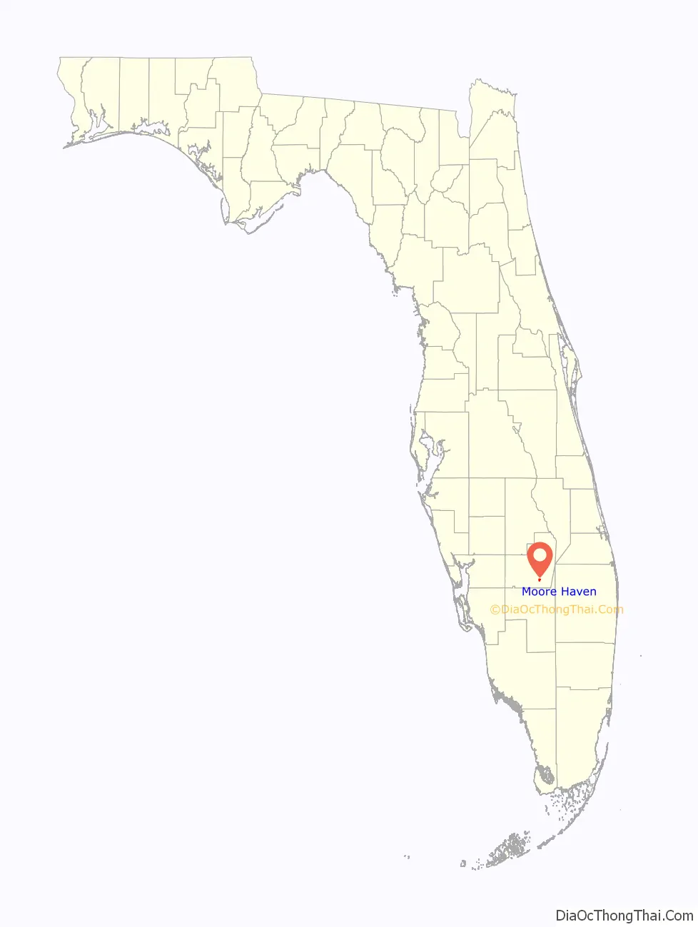
Moore Haven is a city in, and the county seat of, Glades County, Florida, United States. The population was 1,680 at the 2010 census. Moore Haven is located on the southwest shoreline of Lake Okeechobee.
| Name: | Moore Haven city |
|---|---|
| LSAD Code: | 25 |
| LSAD Description: | city (suffix) |
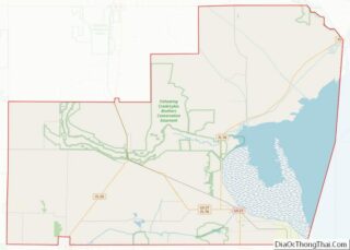
| State: | Florida |
| County: | Glades County |
| Elevation: | 13 ft (4 m) |
| Total Area: | 1.06 sq mi (2.76 km²) |
| Land Area: | 1.06 sq mi (2.76 km²) |
| Water Area: | 0.00 sq mi (0.00 km²) |
| Total Population: | 1,566 |
| Population Density: | 1,470.42/sq mi (567.57/km²) |
| ZIP code: | 33471 |
| Area code: | 863 |
| FIPS code: | 1246550 |
| GNISfeature ID: | 0287104 |
| Website: | http://www.moorehaven.org |
Online Interactive Map
Click on ![]() to view map in "full screen" mode.
to view map in "full screen" mode.
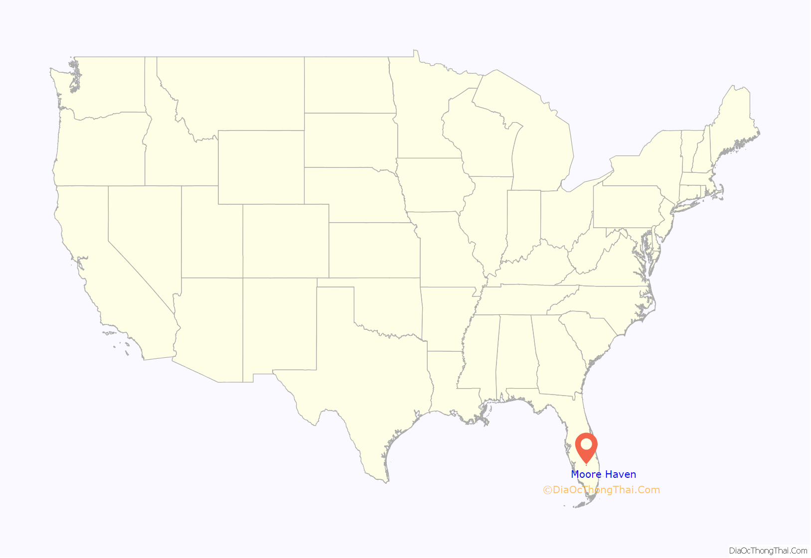
Moore Haven location map. Where is Moore Haven city?
History
The community was named after James A. Moore, its founder. In its early days, Moore Haven was often called “Little Chicago”, reflecting its status as a significant boom town. It was ideally located at the apex of Lake Okeechobee and the Caloosahatchee Canal.
First Woman Mayor of the South
In 1917, Marian Newhall Horwitz was elected as, not only the first woman mayor of Moore Haven, or the first woman mayor in Florida, she was additionally, the first female mayor south of the Mason-Dixon line.
Horwitz was described by the Moore Haven Times, in a July 27, 1917 issue, as being “business from head to foot” along with being seen regularly at 5:15 am riding horseback to work. She resigned on June 22, 1918, taking over management of the Desoto Land Company after her second husband, John J. O’Brien, left to serve in World War I, and after her decision to live on the farm, outside the city limits.
After stepping down as mayor, a “grateful citizenry” gave her a silver trophy, which was eventually passed to her son, Dr. Orville Horwitz, as of 1985.
Railroad
Horwitz is credited with bringing the railroad to Moore Haven, while her brother was a business associate of J.P. Morgan, the vice-president of the Atlantic Coastline Railroad.
In 1918, construction of the first extension line was finished, bringing Moore Haven’s first train on May 13, 1918. The twenty passengers and fifteen freight cars arrived ninety minutes late. “Late arrivals, unannounced schedule changes, and faulty equipment, as well as derailments, were to plague the railroad from the start.” The train was often called the “Hinky Dink” and the “Muck Special.” In addition to nicknames, a well-known joke about the train circulated, too, “a middle-aged man, who got off the train at Moore Haven, had left Haines City, as a young boy, in the care of the conductor.”
Impact of Hurricanes
The Great Miami Hurricane of 1926 dramatically altered the landscape of the area. The storm surge from the lake caused widespread death and destruction, sometimes literally relocating houses to the opposite side of the river. The town might have recovered, but it was hit not long after by the 1928 Okeechobee Hurricane. This decimated areas that had escaped damage in 1926.
Today, Moore Haven is a small, sleepy town that has little industry and infrastructure. Moore Haven is home to the Annual Chalo Nitka Festival, which is held the first weekend in March.
There are two access points to the Lake Okeechobee Scenic Trail, which passes through the town and around Lake Okeechobee.
Built in 2000 and crossing across the Caloosahatchee River 900 feet east of First Street, the Mamie Langdale Memorial Bridge breaks the Florida record of being the Longest Concrete I Girder Span, measuring 320 feet. The overall total length of the Prestressed Stringer/Multi-beam bridge equals 2,281 feet.
The Westergaard House, built in 1920, located on 270 Avenue L Southwest, is the headquarters of the Glades County Historical Society.
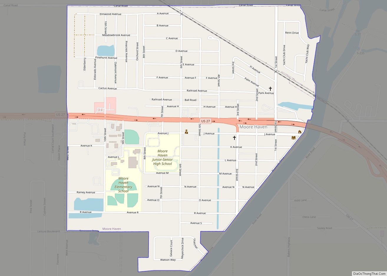
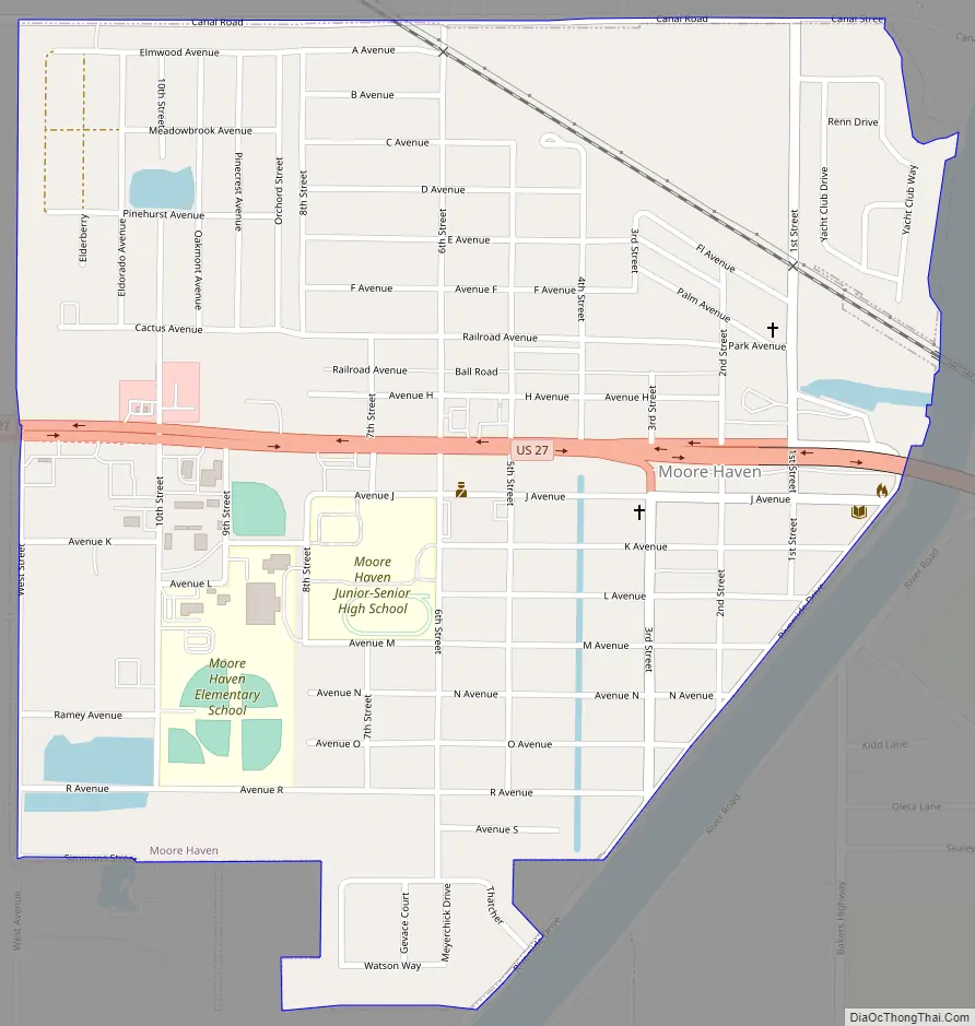
Moore Haven Road Map
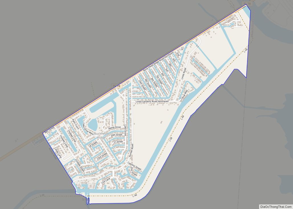
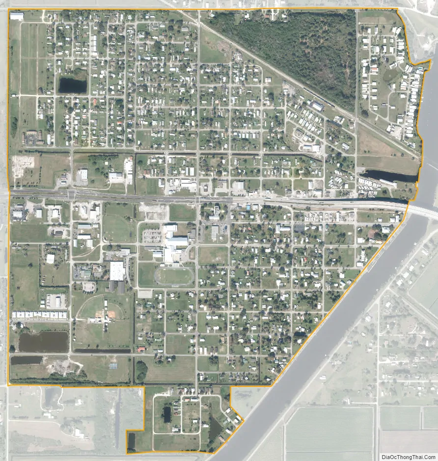
Moore Haven city Satellite Map
Geography
According to the United States Census Bureau, the city has a total area of 1.1 square miles (2.8 km), of which 1.1 square miles (2.8 km) is land and 0.1 square miles (0.26 km) (6.09%) is water.
Climate
See also
Map of Florida State and its subdivision:- Alachua
- Baker
- Bay
- Bradford
- Brevard
- Broward
- Calhoun
- Charlotte
- Citrus
- Clay
- Collier
- Columbia
- Desoto
- Dixie
- Duval
- Escambia
- Flagler
- Franklin
- Gadsden
- Gilchrist
- Glades
- Gulf
- Hamilton
- Hardee
- Hendry
- Hernando
- Highlands
- Hillsborough
- Holmes
- Indian River
- Jackson
- Jefferson
- Lafayette
- Lake
- Lee
- Leon
- Levy
- Liberty
- Madison
- Manatee
- Marion
- Martin
- Miami-Dade
- Monroe
- Nassau
- Okaloosa
- Okeechobee
- Orange
- Osceola
- Palm Beach
- Pasco
- Pinellas
- Polk
- Putnam
- Saint Johns
- Saint Lucie
- Santa Rosa
- Sarasota
- Seminole
- Sumter
- Suwannee
- Taylor
- Union
- Volusia
- Wakulla
- Walton
- Washington
- Alabama
- Alaska
- Arizona
- Arkansas
- California
- Colorado
- Connecticut
- Delaware
- District of Columbia
- Florida
- Georgia
- Hawaii
- Idaho
- Illinois
- Indiana
- Iowa
- Kansas
- Kentucky
- Louisiana
- Maine
- Maryland
- Massachusetts
- Michigan
- Minnesota
- Mississippi
- Missouri
- Montana
- Nebraska
- Nevada
- New Hampshire
- New Jersey
- New Mexico
- New York
- North Carolina
- North Dakota
- Ohio
- Oklahoma
- Oregon
- Pennsylvania
- Rhode Island
- South Carolina
- South Dakota
- Tennessee
- Texas
- Utah
- Vermont
- Virginia
- Washington
- West Virginia
- Wisconsin
- Wyoming