Map of Temple Terrace city

Map of Temple Terrace city

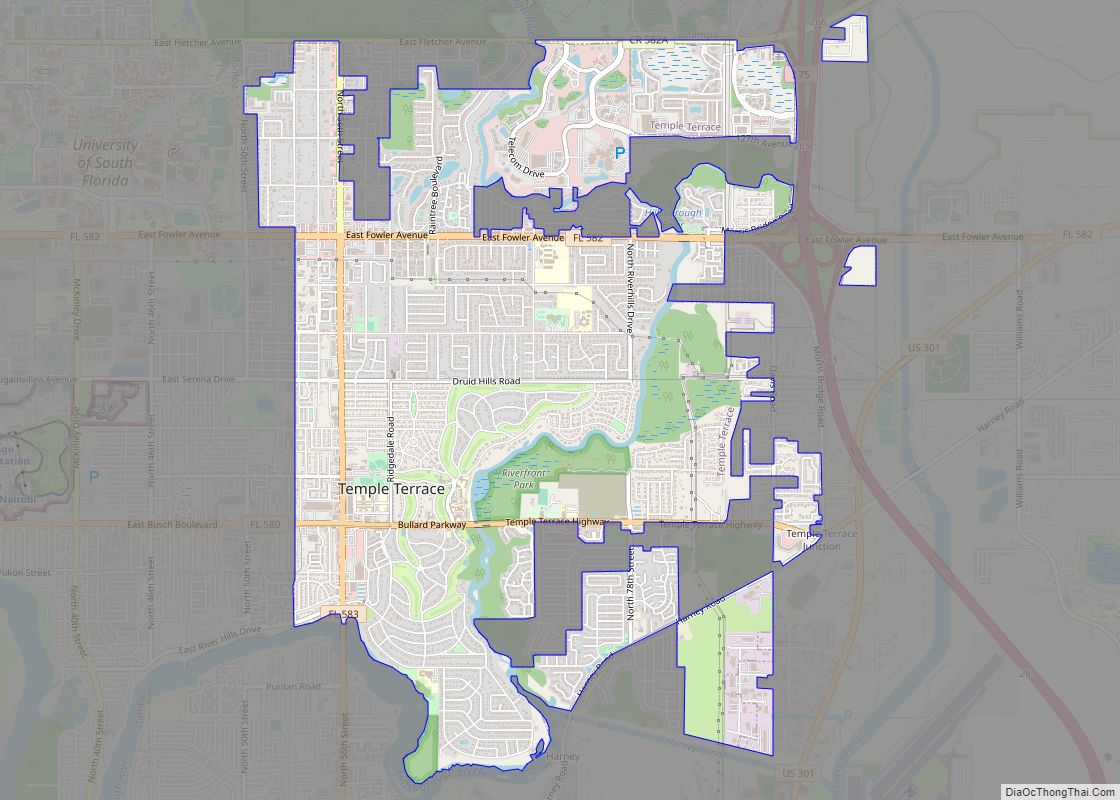
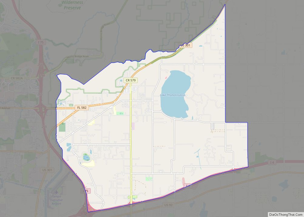
Temple Terrace is an incorporated city in northeastern Hillsborough County, Florida, United States, adjacent to Tampa. As of the 2020 census, the city had a population of 26,690. It is the third and smallest incorporated municipality in Hillsborough County. (Tampa and Plant City are the others.) Incorporated in 1925, the community is known for its … Read more

Map of Taylor Creek CDP

Map of Taylor Creek CDP, Florida

Taylor Creek is a census-designated place (CDP) in Okeechobee County, Florida, United States. The population was 4,348 at the 2010 census. Taylor Creek CDP overview: Name: Taylor Creek CDP LSAD Code: 57 LSAD Description: CDP (suffix) State: Florida County: Okeechobee County Elevation: 16 ft (5 m) Total Area: 3.44 sq mi (8.91 km²) Land Area: 3.05 sq mi (7.89 km²) Water Area: 0.39 sq mi … Read more

Map of Tavernier CDP

Map of Tavernier CDP

Tavernier is a census-designated place (CDP) and unincorporated community in Monroe County, Florida, United States on Key Largo, the largest island in the upper Florida Keys. Tavernier’s population was 2,530 at the 2020 census, up from 2,136 in 2010. Tavernier CDP overview: Name: Tavernier CDP LSAD Code: 57 LSAD Description: CDP (suffix) State: Florida County: … Read more

Map of The Crossings CDP

Map of The Crossings CDP

The Crossings is a census-designated place (CDP) and suburb of Miami in Miami-Dade County, Florida, United States. The population was 23,276 at the 2020 census. The CDP includes the neighborhoods of The Crossings, Devon Aire and Calusa. The Crossings CDP overview: Name: The Crossings CDP LSAD Code: 57 LSAD Description: CDP (suffix) State: Florida County: … Read more

Map of The Acreage CDP

Map of The Acreage CDP

The Acreage is an unincorporated community located in Palm Beach County, Florida, United States, with a 2010 US Census Bureau population count of 38,704. It is located in the areas north of Royal Palm Beach and Loxahatchee Groves, and is approximately 18 miles (29 km) northwest of West Palm Beach. Most of the population lives in … Read more

Map of Tequesta village

Map of Tequesta village

Tequesta is an incorporated village in Palm Beach County, Florida, United States. The population was 6,158 at the 2020 Census. It is the northernmost municipality in the Miami metropolitan area, which in 2010 had a total population of 5,564,635 according to the U.S. Census. Tequesta village overview: Name: Tequesta village LSAD Code: 47 LSAD Description: … Read more

Map of The Villages CDP

Map of The Villages CDP

The Villages is a census-designated place (CDP) in Sumter and Marion counties, Florida, United States. It shares its name with a broader master-planned age-restricted community that spreads into portions of Lake County. The overall development lies in central Florida, approximately 20 miles (32 km) south of Ocala and approximately 45 miles (72 km) northwest of Orlando. As … Read more

Map of The Meadows CDP

Map of The Meadows CDP

The Meadows is a census-designated place (CDP) in Sarasota County, Florida, United States. The population was 3,994 at the 2010 census. The CDP is part of the Bradenton–Sarasota–Venice Metropolitan Statistical Area. The Meadows CDP overview: Name: The Meadows CDP LSAD Code: 57 LSAD Description: CDP (suffix) State: Florida County: Sarasota County Elevation: 26 ft (8 m) Total … Read more

Map of The Hammocks CDP

Map of The Hammocks CDP

The Hammocks is a planned community and census-designated place in Miami-Dade County, Florida, United States. The population was 59,480 at the 2020 census, up from 51,003 in 2010. The Hammocks CDP overview: Name: The Hammocks CDP LSAD Code: 57 LSAD Description: CDP (suffix) State: Florida County: Miami-Dade County Elevation: 8 ft (2 m) Land Area: 7.89 sq mi (20.43 km²) … Read more

Map of Thonotosassa CDP

Map of Thonotosassa CDP

Thonotosassa is a census-designated place (CDP) in Hillsborough County, Florida, United States. The population was 15,238 at the 2020 census, up from 13,014 at the 2010 census. Thonotosassa CDP overview: Name: Thonotosassa CDP LSAD Code: 57 LSAD Description: CDP (suffix) State: Florida County: Hillsborough County Elevation: 33 ft (10 m) Total Area: 28.33 sq mi (73.37 km²) Land Area: 26.48 sq mi … Read more

Map of Three Oaks CDP

Map of Three Oaks CDP, Florida

Three Oaks is a census-designated place (CDP) in Lee County, Florida, United States. The population was 3,592 at the 2010 census, up from 2,255 at the 2000 census. It is part of the Cape Coral-Fort Myers, Florida Metropolitan Statistical Area. Three Oaks CDP overview: Name: Three Oaks CDP LSAD Code: 57 LSAD Description: CDP (suffix) … Read more

Map of Three Lakes CDP

Map of Three Lakes CDP, Florida

Three Lakes is a census-designated place (CDP) in Miami-Dade County, Florida, United States. The population was 16,540 at the 2020 census, up from 15,047 in 2010. Its name comes from the planned community of Three Lakes, which is located inside Three Lakes CDP boundaries. Three Lakes CDP overview: Name: Three Lakes CDP LSAD Code: 57 … Read more