The Acreage is an unincorporated community located in Palm Beach County, Florida, United States, with a 2010 US Census Bureau population count of 38,704. It is located in the areas north of Royal Palm Beach and Loxahatchee Groves, and is approximately 18 miles (29 km) northwest of West Palm Beach. Most of the population lives in single-family homes on 1.14 acres (4,600 m) and larger lots. It straddles the western fringes of the highly developed eastern portion of Palm Beach County and the agricultural-rural western portions. Its large, spacious home site lots, dirt roads and many wooded areas give the area a rural character, although it is widely considered to be an exurban outgrowth of the South Florida Metropolitan Area. The Acreage is located solely within the Indian Trail Improvement District, responsible for maintaining the road and drainage systems within its boundaries.
| Name: | The Acreage CDP |
|---|---|
| LSAD Code: | 57 |
| LSAD Description: | CDP (suffix) |
| State: | Florida |
| County: | Palm Beach County |
| Total Area: | 39,863 |
| Area code: | 561 |
| FIPS code: | 1271564 |
| Website: | www.indiantrail.com |
Online Interactive Map
Click on ![]() to view map in "full screen" mode.
to view map in "full screen" mode.
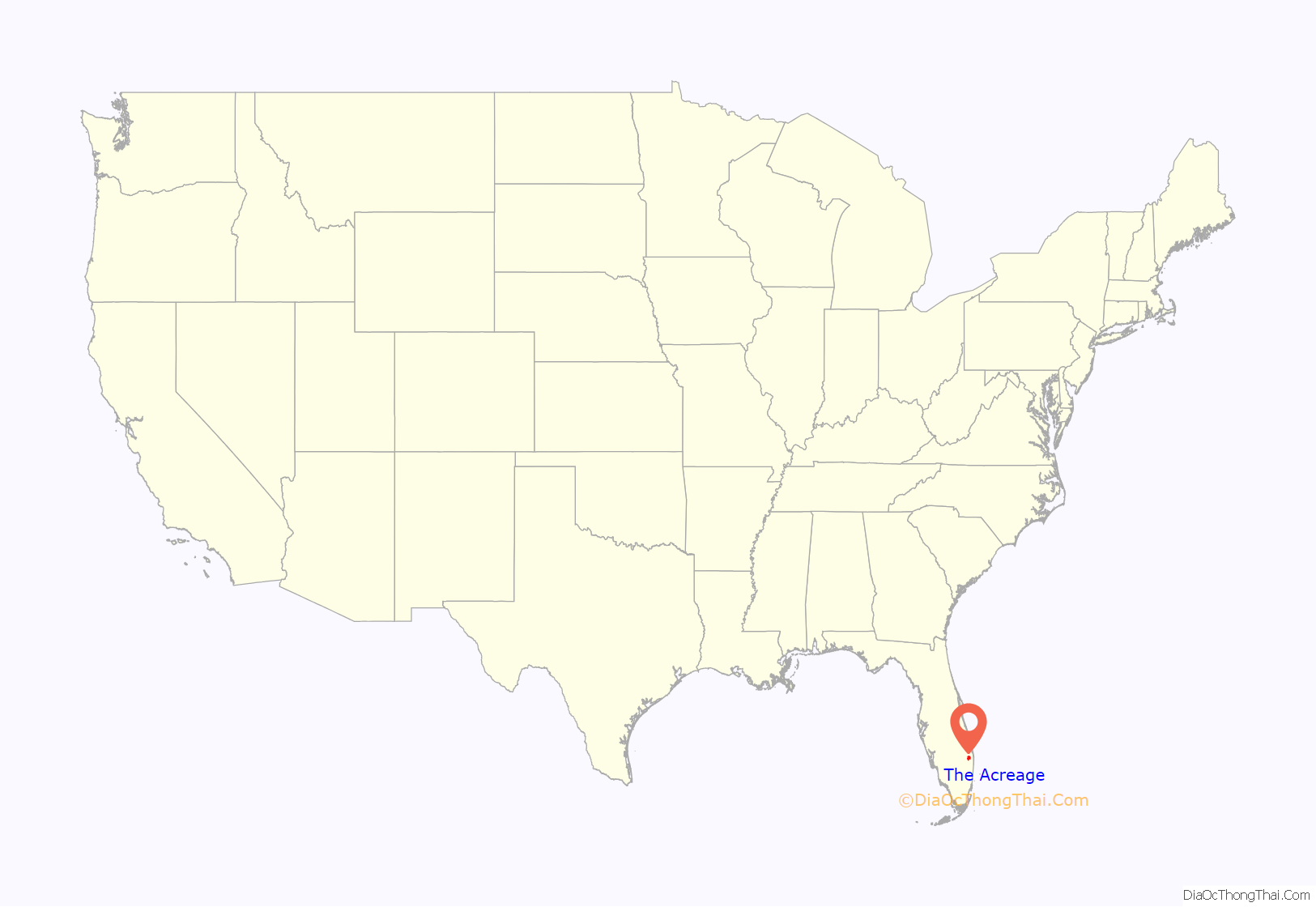
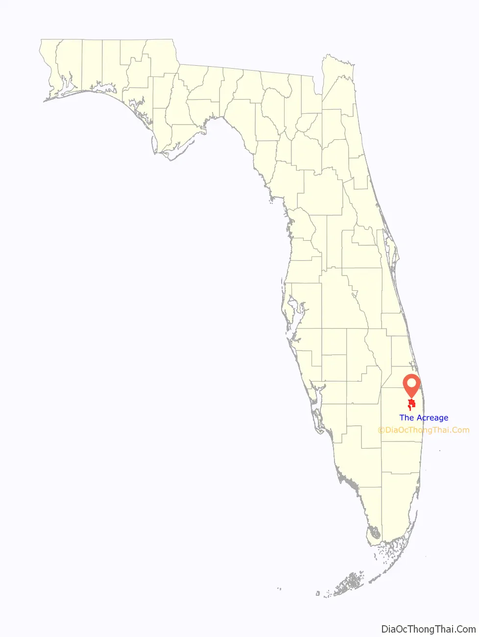
The Acreage location map. Where is The Acreage CDP?
History
The Acreage was originally developed by Samuel Friedland and his development company, Royal Palm Beach Colony, Inc., with the name of Royal Palm Beach Colony, as a community to house workers that were employed by the nearby Callery Judge and Mecca Citrus Groves. Workers were given 1-acre (4,000 m) lots and coupled with few land restrictions.
Isolated local flooding occurs yearly, leading sometimes to road closures, with Hurricane Irene being the most memorable to the area. The 2004 hurricane season, in which Hurricane Frances and Hurricane Jeanne struck the area in a three-week period, doing considerable damage to the older, wooden cottage style houses while the modern houses in the area received mostly cosmetic damage.
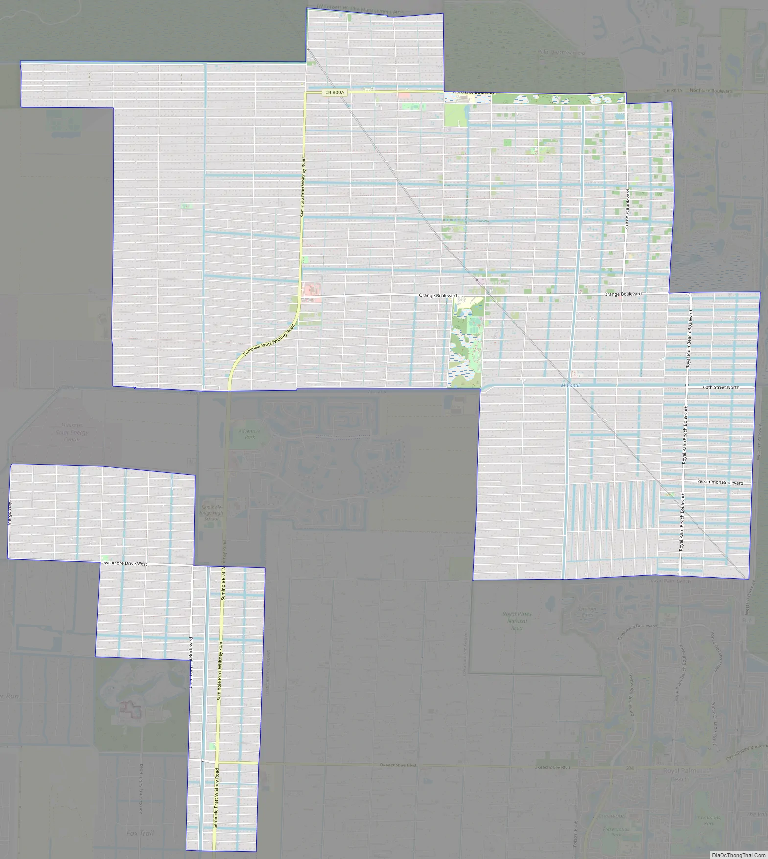
The Acreage Road Map
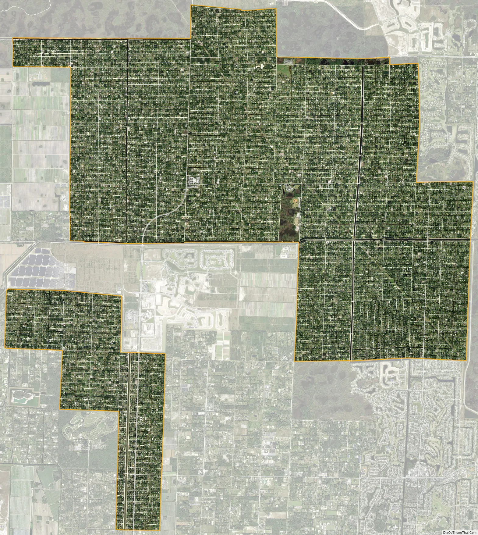
The Acreage city Satellite Map
See also
Map of Florida State and its subdivision:- Alachua
- Baker
- Bay
- Bradford
- Brevard
- Broward
- Calhoun
- Charlotte
- Citrus
- Clay
- Collier
- Columbia
- Desoto
- Dixie
- Duval
- Escambia
- Flagler
- Franklin
- Gadsden
- Gilchrist
- Glades
- Gulf
- Hamilton
- Hardee
- Hendry
- Hernando
- Highlands
- Hillsborough
- Holmes
- Indian River
- Jackson
- Jefferson
- Lafayette
- Lake
- Lee
- Leon
- Levy
- Liberty
- Madison
- Manatee
- Marion
- Martin
- Miami-Dade
- Monroe
- Nassau
- Okaloosa
- Okeechobee
- Orange
- Osceola
- Palm Beach
- Pasco
- Pinellas
- Polk
- Putnam
- Saint Johns
- Saint Lucie
- Santa Rosa
- Sarasota
- Seminole
- Sumter
- Suwannee
- Taylor
- Union
- Volusia
- Wakulla
- Walton
- Washington
- Alabama
- Alaska
- Arizona
- Arkansas
- California
- Colorado
- Connecticut
- Delaware
- District of Columbia
- Florida
- Georgia
- Hawaii
- Idaho
- Illinois
- Indiana
- Iowa
- Kansas
- Kentucky
- Louisiana
- Maine
- Maryland
- Massachusetts
- Michigan
- Minnesota
- Mississippi
- Missouri
- Montana
- Nebraska
- Nevada
- New Hampshire
- New Jersey
- New Mexico
- New York
- North Carolina
- North Dakota
- Ohio
- Oklahoma
- Oregon
- Pennsylvania
- Rhode Island
- South Carolina
- South Dakota
- Tennessee
- Texas
- Utah
- Vermont
- Virginia
- Washington
- West Virginia
- Wisconsin
- Wyoming


