The Crossings is a census-designated place (CDP) and suburb of Miami in Miami-Dade County, Florida, United States. The population was 23,276 at the 2020 census. The CDP includes the neighborhoods of The Crossings, Devon Aire and Calusa.
| Name: | The Crossings CDP |
|---|---|
| LSAD Code: | 57 |
| LSAD Description: | CDP (suffix) |
| State: | Florida |
| County: | Miami-Dade County |
| Elevation: | 7 ft (2 m) |
| Total Area: | 3.57 sq mi (9.23 km²) |
| Land Area: | 3.44 sq mi (8.90 km²) |
| Water Area: | 0.13 sq mi (0.33 km²) |
| Total Population: | 23,276 |
| Population Density: | 6,770.22/sq mi (2,614.15/km²) |
| ZIP code: | 33186 (Miami) |
| FIPS code: | 1271567 |
| GNISfeature ID: | 1853292 |
Online Interactive Map
Click on ![]() to view map in "full screen" mode.
to view map in "full screen" mode.
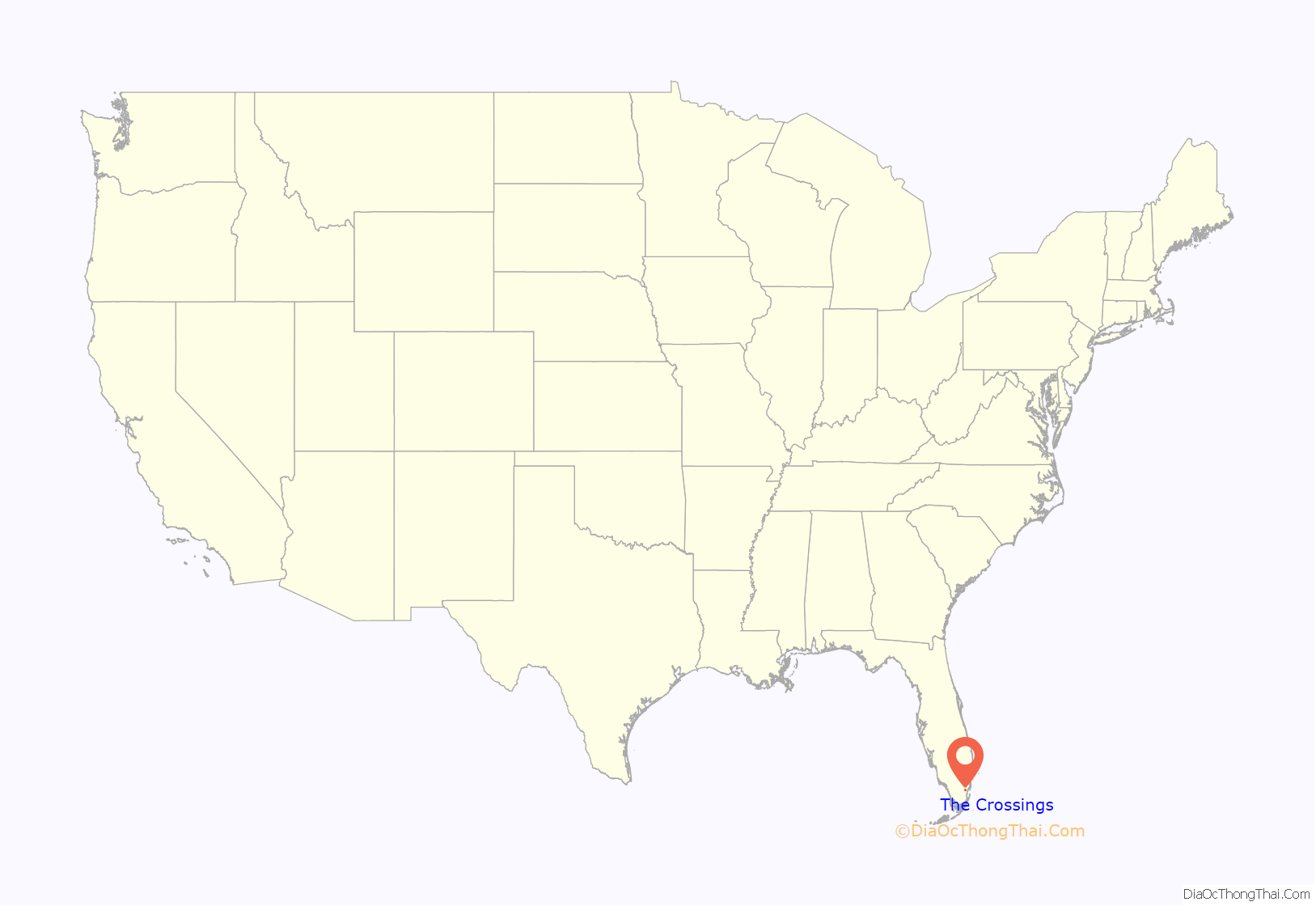
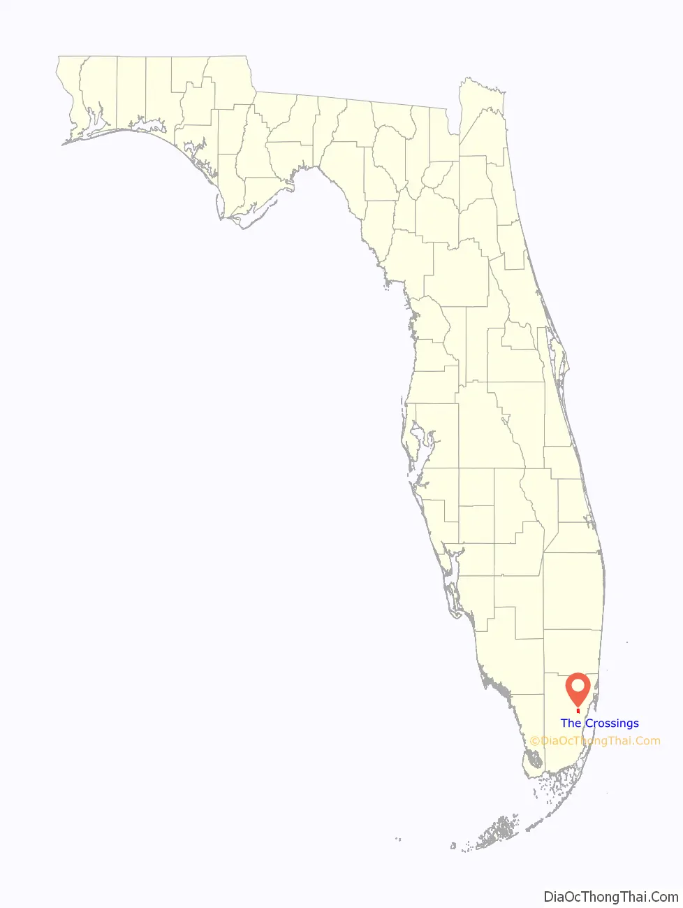
The Crossings location map. Where is The Crossings CDP?
History
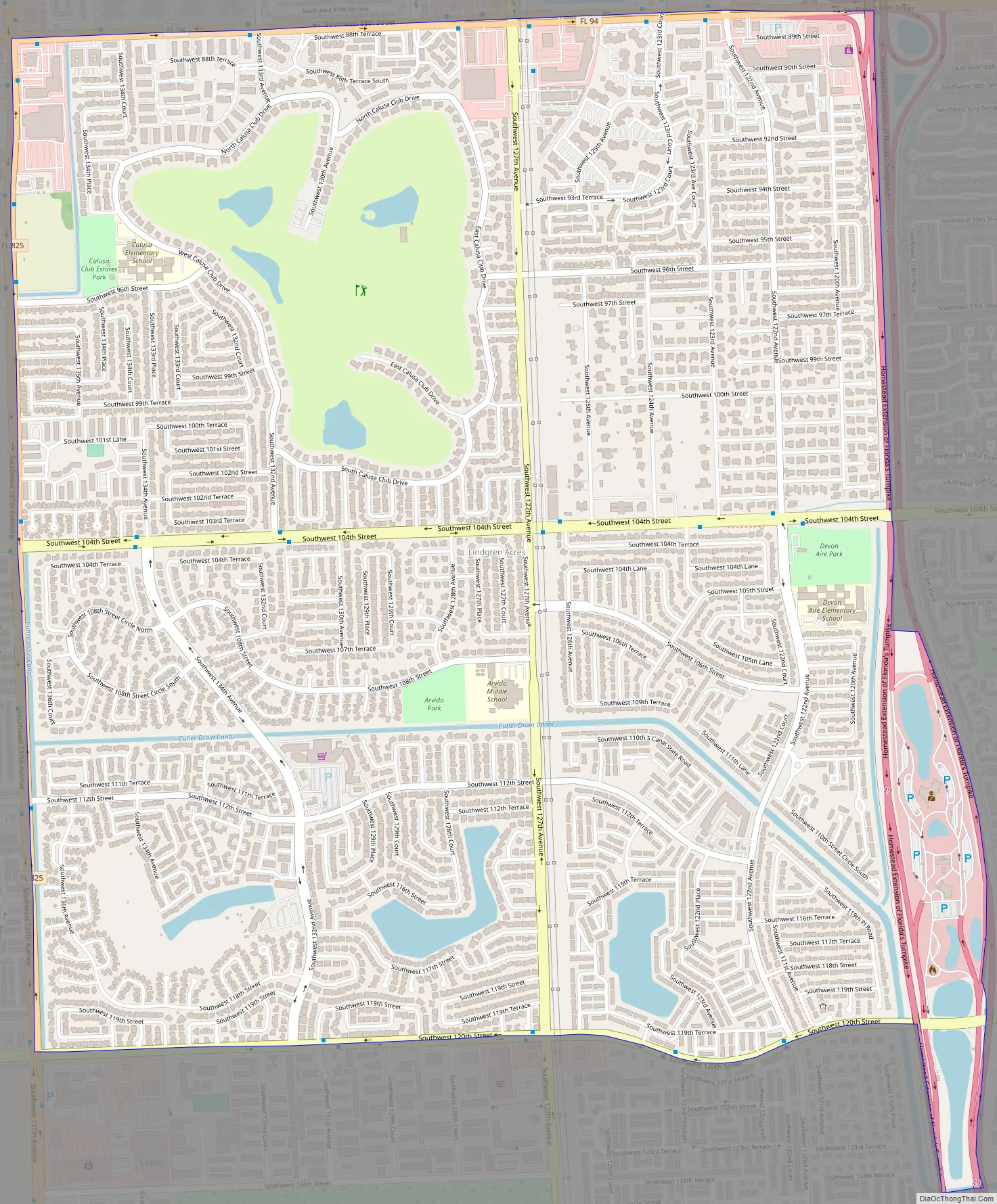
The communities comprising the CDP were developed in the 1970s and 1980s. The area today is made up of single-family residences and townhouses.
The Crossings Road Map
The Crossings city Satellite Map

Geography
The Crossings is located 16 miles (26 km) southwest of downtown Miami at 25°40′10″N 80°24′4″W / 25.66944°N 80.40111°W / 25.66944; -80.40111 (25.669425, -80.401108). The CDP is bordered on the north by Kendall Drive (SW 88th Street), on the south by SW 120th Street, by Florida’s Turnpike on the east, and SW 137th Avenue on the west. Neighboring census-designated places are Kendale Lakes to the north, Kendall to the east, Three Lakes to the south, and The Hammocks to the west.
According to the United States Census Bureau, The Crossings CDP has a total area of 3.6 square miles (9.3 km), of which 0.1 square miles (0.3 km), or 3.56%, are water.
See also
Map of Florida State and its subdivision:- Alachua
- Baker
- Bay
- Bradford
- Brevard
- Broward
- Calhoun
- Charlotte
- Citrus
- Clay
- Collier
- Columbia
- Desoto
- Dixie
- Duval
- Escambia
- Flagler
- Franklin
- Gadsden
- Gilchrist
- Glades
- Gulf
- Hamilton
- Hardee
- Hendry
- Hernando
- Highlands
- Hillsborough
- Holmes
- Indian River
- Jackson
- Jefferson
- Lafayette
- Lake
- Lee
- Leon
- Levy
- Liberty
- Madison
- Manatee
- Marion
- Martin
- Miami-Dade
- Monroe
- Nassau
- Okaloosa
- Okeechobee
- Orange
- Osceola
- Palm Beach
- Pasco
- Pinellas
- Polk
- Putnam
- Saint Johns
- Saint Lucie
- Santa Rosa
- Sarasota
- Seminole
- Sumter
- Suwannee
- Taylor
- Union
- Volusia
- Wakulla
- Walton
- Washington
- Alabama
- Alaska
- Arizona
- Arkansas
- California
- Colorado
- Connecticut
- Delaware
- District of Columbia
- Florida
- Georgia
- Hawaii
- Idaho
- Illinois
- Indiana
- Iowa
- Kansas
- Kentucky
- Louisiana
- Maine
- Maryland
- Massachusetts
- Michigan
- Minnesota
- Mississippi
- Missouri
- Montana
- Nebraska
- Nevada
- New Hampshire
- New Jersey
- New Mexico
- New York
- North Carolina
- North Dakota
- Ohio
- Oklahoma
- Oregon
- Pennsylvania
- Rhode Island
- South Carolina
- South Dakota
- Tennessee
- Texas
- Utah
- Vermont
- Virginia
- Washington
- West Virginia
- Wisconsin
- Wyoming


