Clayton is a city in Rabun County, Georgia, United States. Its population was 2,003 at the 2020 census. The county seat of Rabun County, it is in the Blue Ridge Mountains. Clayton city overview: Name: Clayton city LSAD Code: 25 LSAD Description: city (suffix) State: Georgia County: Rabun County Elevation: 1,926 ft (587 m) Total Area: 3.39 sq mi ... Read more
Georgia Cities and Places
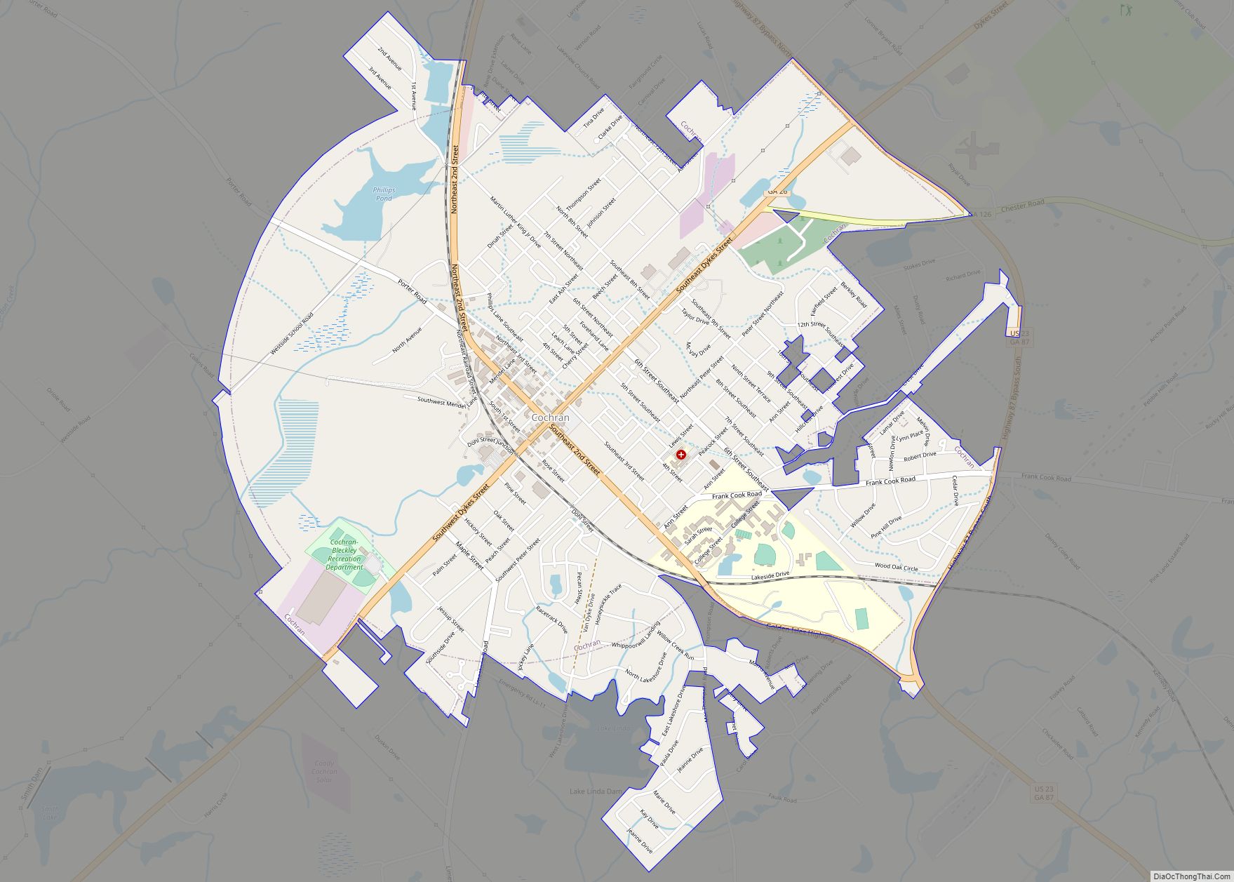
Cochran is a city in Bleckley County, Georgia, United States. As of the 2020 census, the city had a population of 5,026. The city is the county seat of Bleckley County. Cochran is named for Judge Arthur E. Cochran and was incorporated on March 19, 1869. Judge Cochran was largely instrumental in developing this section ... Read more
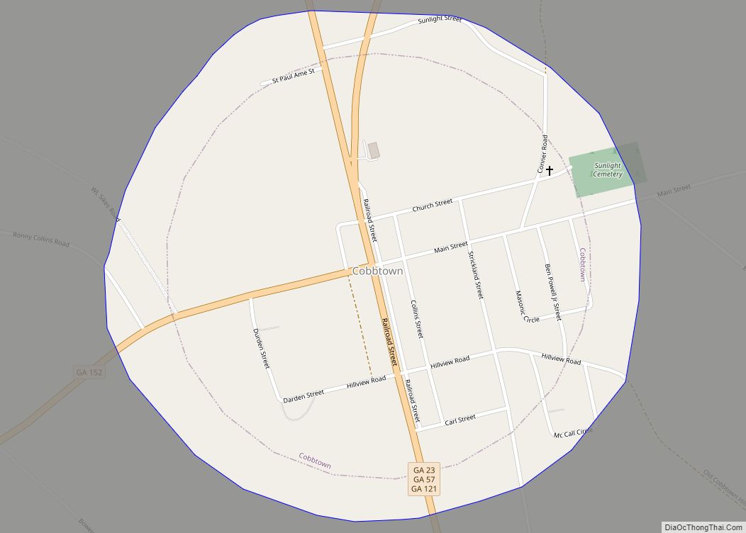
Cobbtown is a city in Tattnall County, Georgia, United States. The population was 311 at the 2000 census. Cobbtown city overview: Name: Cobbtown city LSAD Code: 25 LSAD Description: city (suffix) State: Georgia County: Tattnall County Elevation: 246 ft (75 m) Total Area: 0.68 sq mi (1.76 km²) Land Area: 0.67 sq mi (1.73 km²) Water Area: 0.01 sq mi (0.03 km²) Total Population: 341 Population ... Read more
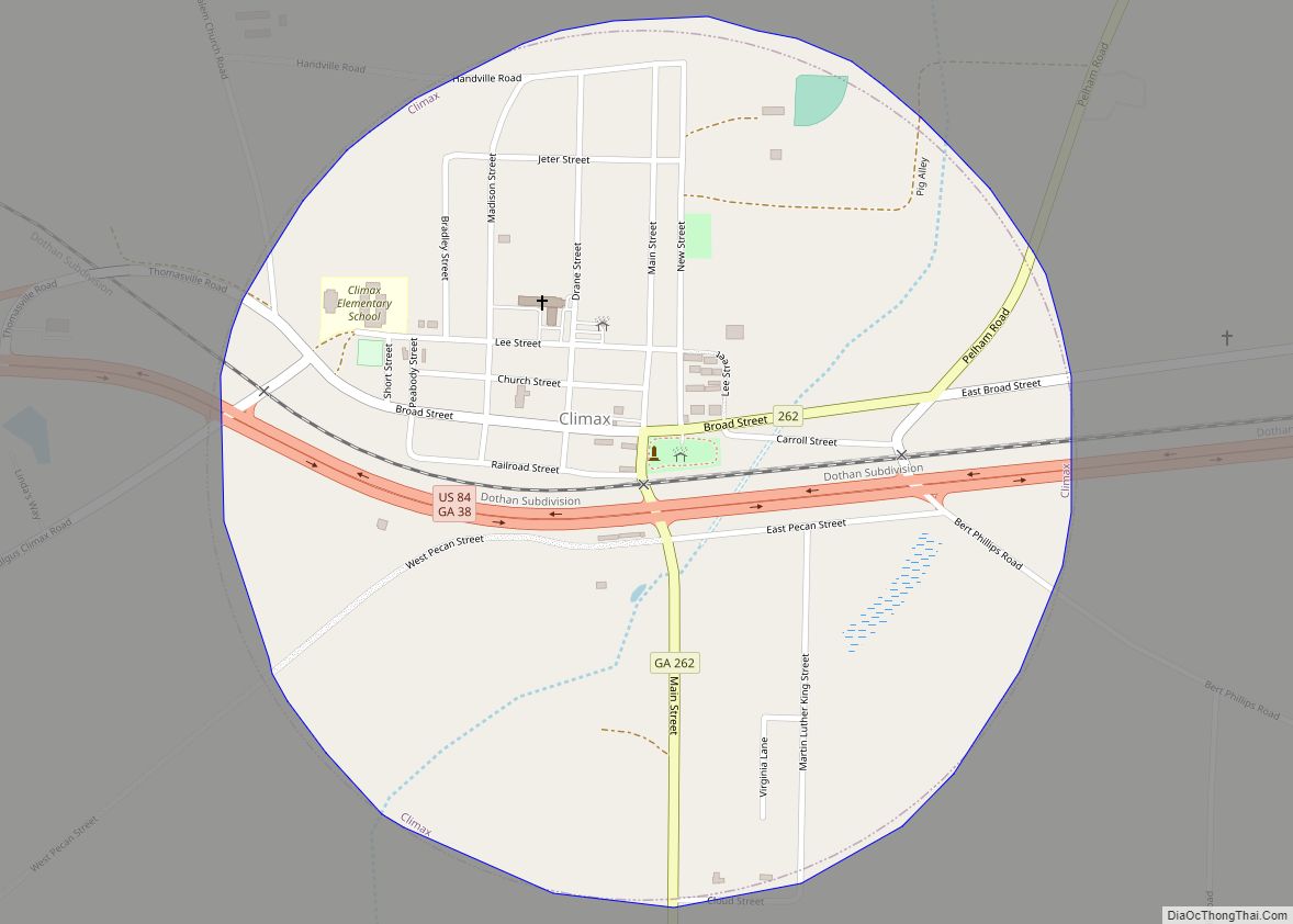
Climax is a small town in Decatur County, Georgia, United States. The town was named “Climax” because it is located at the highest point of the railroad between Savannah, Georgia, and the Chattahoochee River. The population was 280 at the 2010 census. Climax city overview: Name: Climax city LSAD Code: 25 LSAD Description: city (suffix) ... Read more
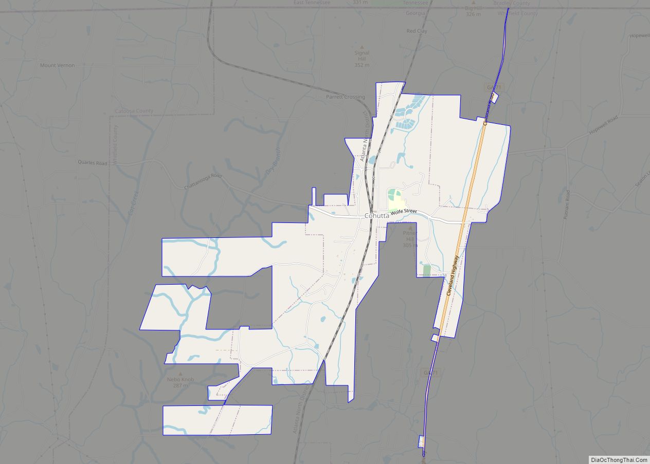
Cohutta /kəˈhʌtə/ is a town in Whitfield County, Georgia, United States. It is part of the Dalton Metropolitan Statistical Area. The population was 764 at the 2020 census. Cohutta city overview: Name: Cohutta city LSAD Code: 25 LSAD Description: city (suffix) State: Georgia County: Whitfield County Elevation: 863 ft (263 m) Total Area: 4.92 sq mi (12.73 km²) Land Area: ... Read more
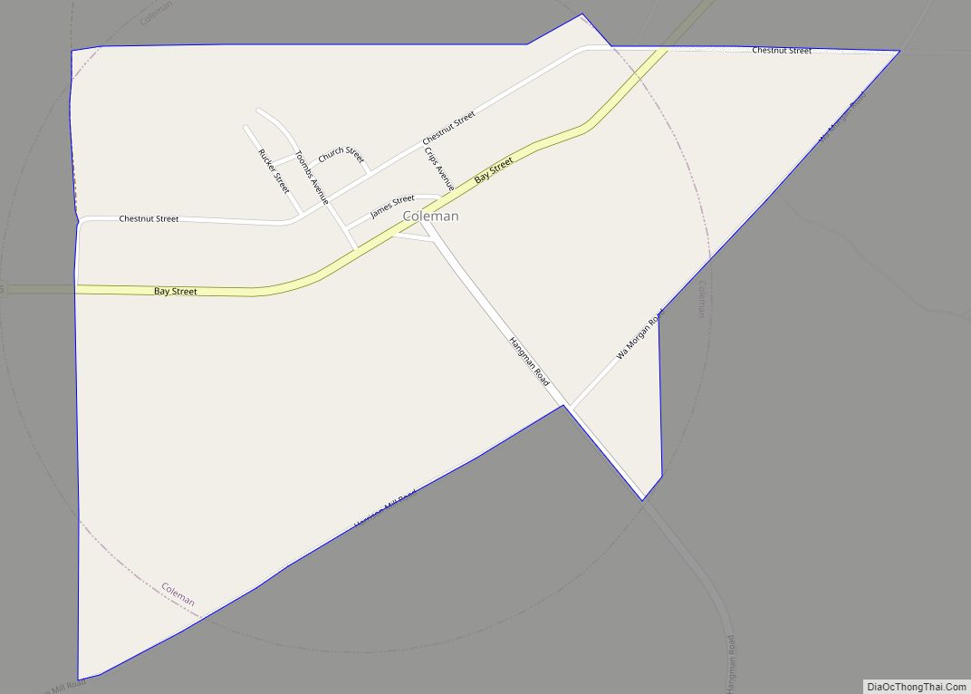
Coleman is a census-designated place and former incorporated city in Randolph County, Georgia, United States. The population was 149 at the 2000 census. The city was abolished by House Bill 1102 effective January 1, 2007, and no longer exists as a municipality. Coleman CDP overview: Name: Coleman CDP LSAD Code: 57 LSAD Description: CDP (suffix) ... Read more
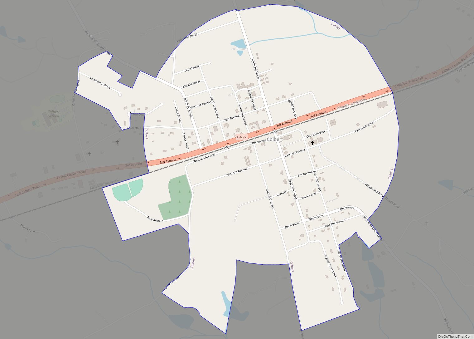
Colbert (/ˈkɒlbərt/ KOL-bərt) is a city in Madison County and Oglethorpe County, Georgia, United States. The population was 630 at the 2020 census. Colbert city overview: Name: Colbert city LSAD Code: 25 LSAD Description: city (suffix) State: Georgia County: Madison County Elevation: 768 ft (234 m) Total Area: 1.02 sq mi (2.65 km²) Land Area: 1.02 sq mi (2.64 km²) Water Area: 0.00 sq mi ... Read more
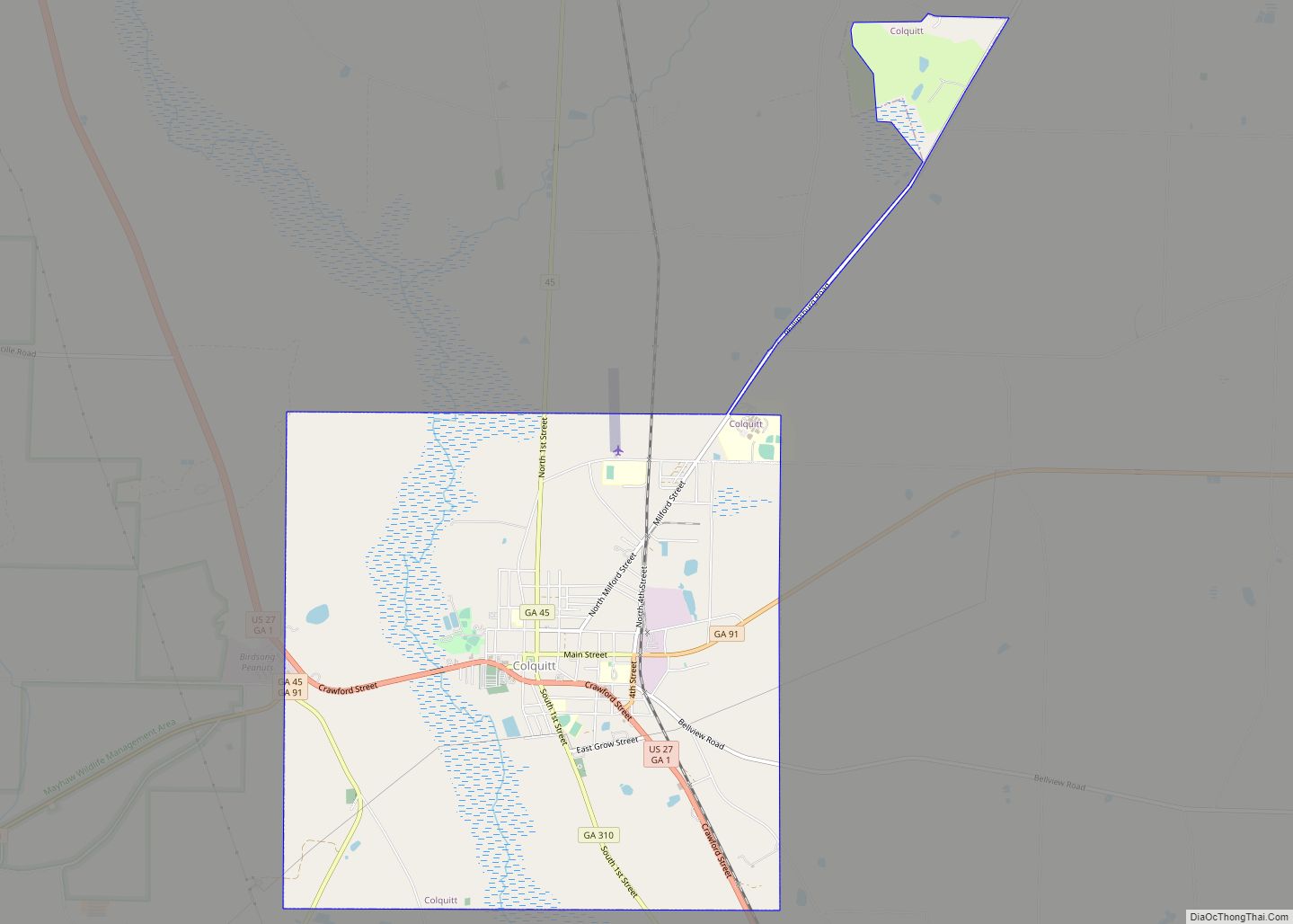
Colquitt is a city in Miller County, in the southwestern portion of the U.S. state of Georgia. The population was 2,001 at the 2020 census. Colquitt is the county seat of Miller County, a role it has held since just after Miller County was created by the Georgia Legislature in 1856. The city formally incorporated ... Read more
Collins is a city in Tattnall County, Georgia, United States. The population was 584 at the 2010 census, up from 528 at the 2000 census. Collins city overview: Name: Collins city LSAD Code: 25 LSAD Description: city (suffix) State: Georgia County: Tattnall County Elevation: 230 ft (70 m) Total Area: 1.03 sq mi (2.68 km²) Land Area: 1.02 sq mi (2.64 km²) Water ... Read more
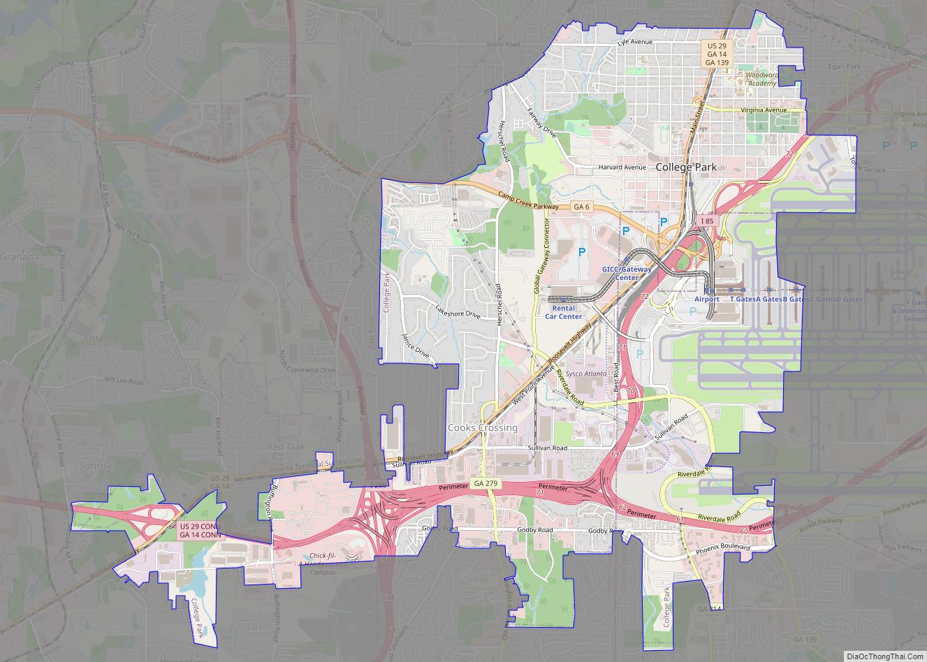
College Park is a city in Fulton and Clayton counties, Georgia, United States, adjacent to the southern boundary of the city of Atlanta. As of the 2020 census, the population was 13,930. Hartsfield–Jackson Atlanta International Airport is partially located in the city’s boundaries (including the domestic terminal, Concourse T, Concourse A, and about two-thirds of ... Read more
Concord is a town in Pike County, Georgia, United States. The population was 375 at the 2010 census. Concord city overview: Name: Concord city LSAD Code: 25 LSAD Description: city (suffix) State: Georgia County: Pike County Elevation: 810 ft (247 m) Total Area: 0.85 sq mi (2.20 km²) Land Area: 0.84 sq mi (2.18 km²) Water Area: 0.01 sq mi (0.02 km²) Total Population: 378 Population ... Read more
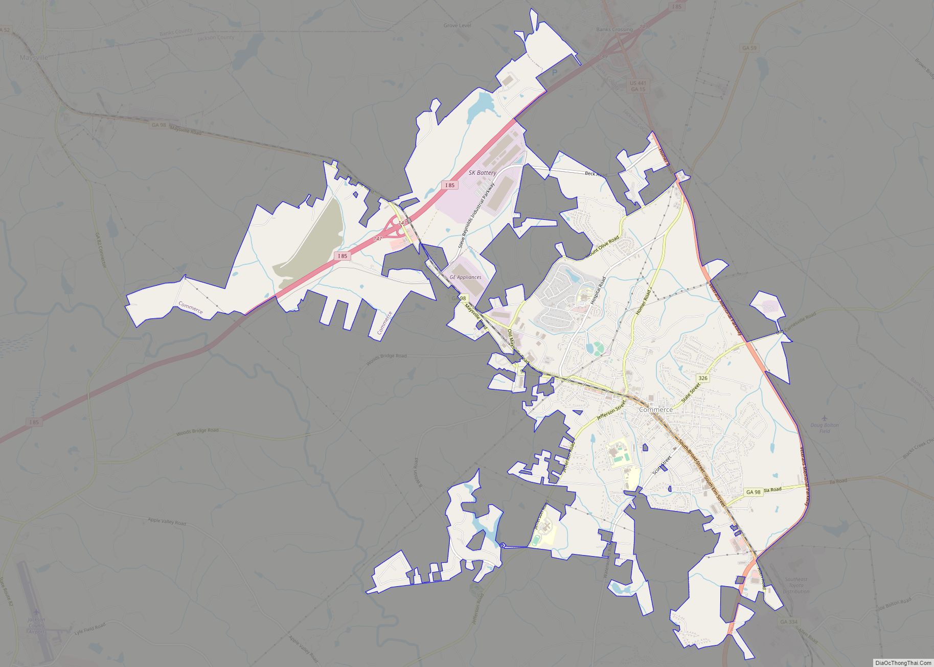
Commerce is a city in Jackson County, Georgia, 70 miles (110 km) northeast of Atlanta. As of the 2020 census, the city had a population of 7,387. Commerce city overview: Name: Commerce city LSAD Code: 25 LSAD Description: city (suffix) State: Georgia County: Jackson County Elevation: 912 ft (278 m) Total Area: 13.38 sq mi (34.66 km²) Land Area: 13.25 sq mi (34.32 km²) ... Read more

