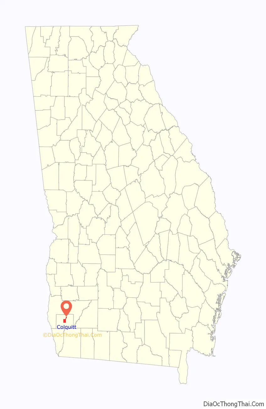
Colquitt is a city in Miller County, in the southwestern portion of the U.S. state of Georgia. The population was 2,001 at the 2020 census. Colquitt is the county seat of Miller County, a role it has held since just after Miller County was created by the Georgia Legislature in 1856. The city formally incorporated on December 19, 1860, and is Miller County’s only incorporated municipality. Colquitt is named for U.S. Congressman and Senator Walter Terry Colquitt.
The Colquitt Town Square Historic District was added to the National Register of Historic Places in 1983.
| Name: | Colquitt city |
|---|---|
| LSAD Code: | 25 |
| LSAD Description: | city (suffix) |
| State: | Georgia |
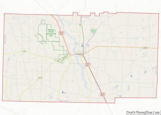
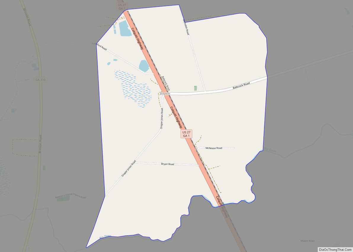
| County: | Miller County |
| Elevation: | 167 ft (51 m) |
| Total Area: | 8.27 sq mi (21.42 km²) |
| Land Area: | 8.23 sq mi (21.32 km²) |
| Water Area: | 0.04 sq mi (0.10 km²) |
| Total Population: | 2,001 |
| Population Density: | 243.08/sq mi (93.85/km²) |
| ZIP code: | 39837 |
| Area code: | 229 |
| FIPS code: | 1318000 |
| GNISfeature ID: | 0355248 |
| Website: | www.colquittga.org |
Online Interactive Map
Click on ![]() to view map in "full screen" mode.
to view map in "full screen" mode.
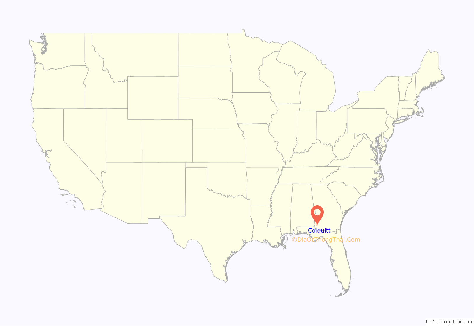
Colquitt location map. Where is Colquitt city?
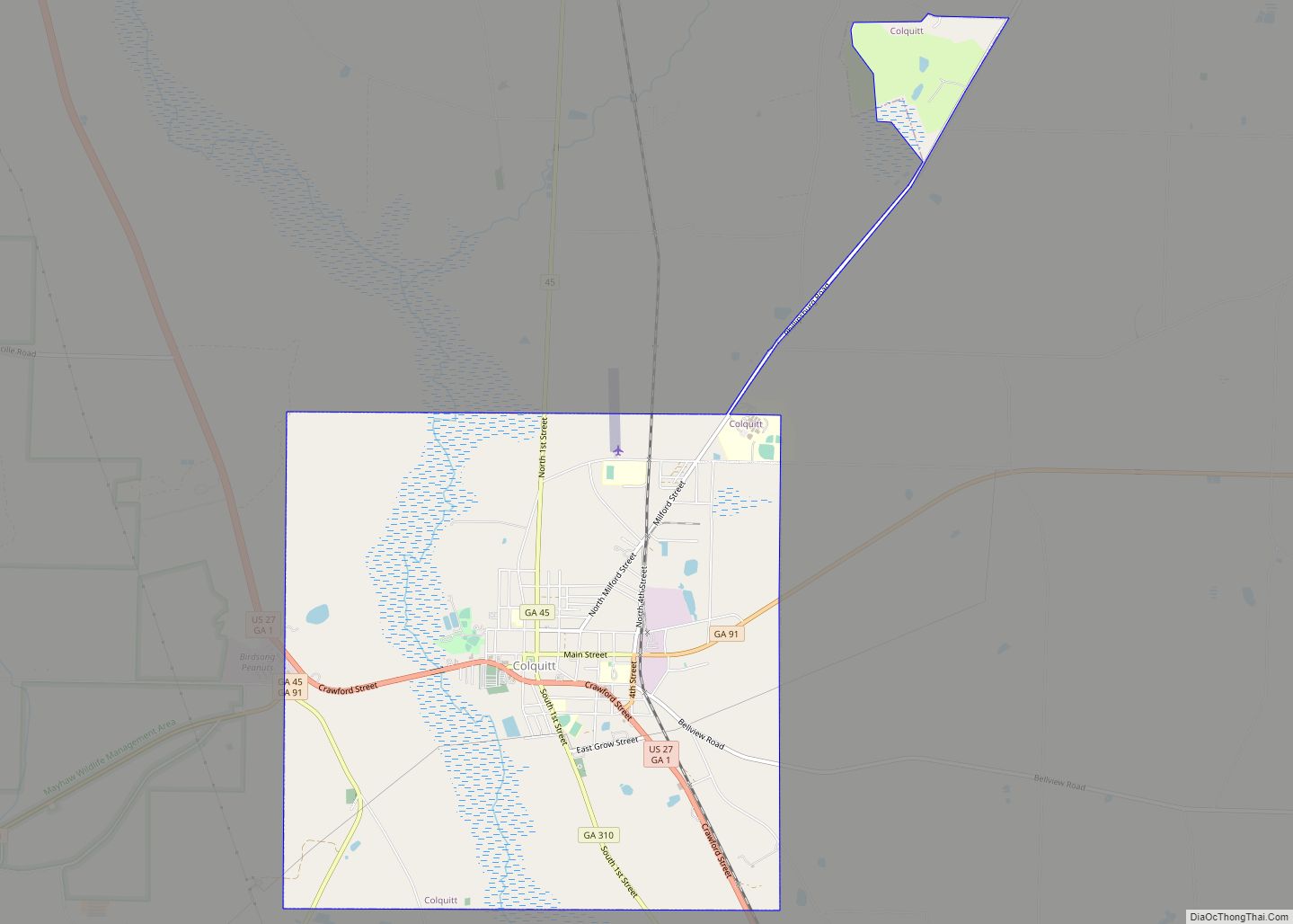
Colquitt Road Map

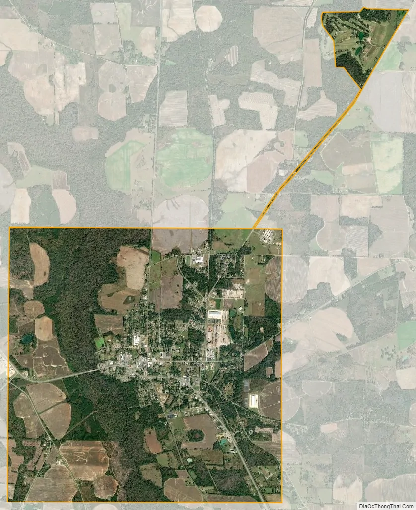
Colquitt city Satellite Map
Geography
Colquitt is located in the center of Miller County at 31°10′23″N 84°43′43″W / 31.17306°N 84.72861°W / 31.17306; -84.72861 (31.173090, -84.728512).
The city is located along U.S. Route 27, Georgia State Route 45, and Georgia State Route 91 in southwestern Georgia. U.S. 27 runs northwest-southeast through the center of town as Crawford Street, leading northwest 21 mi (34 km) to Blakely and southeast 22 mi (35 km) to Bainbridge. GA-45 runs north-south through the city concurrent with U.S. 27 and GA-91, and leads north 9 mi (14 km) to Damascus and southwest 14 mi (23 km) to Iron City. GA-91 also runs north-south through the city as well, and leads northeast 28 mi (45 km) to Newton and southwest 14 mi (23 km) to Donalsonville.
According to the United States Census Bureau, the city has a total area of 8.3 square miles (21 km), of which 0.04 square miles (0.10 km), or 0.48%, are water.
See also
Map of Georgia State and its subdivision:- Appling
- Atkinson
- Bacon
- Baker
- Baldwin
- Banks
- Barrow
- Bartow
- Ben Hill
- Berrien
- Bibb
- Bleckley
- Brantley
- Brooks
- Bryan
- Bulloch
- Burke
- Butts
- Calhoun
- Camden
- Candler
- Carroll
- Catoosa
- Charlton
- Chatham
- Chattahoochee
- Chattooga
- Cherokee
- Clarke
- Clay
- Clayton
- Clinch
- Cobb
- Coffee
- Colquitt
- Columbia
- Cook
- Coweta
- Crawford
- Crisp
- Dade
- Dawson
- Decatur
- DeKalb
- Dodge
- Dooly
- Dougherty
- Douglas
- Early
- Echols
- Effingham
- Elbert
- Emanuel
- Evans
- Fannin
- Fayette
- Floyd
- Forsyth
- Franklin
- Fulton
- Gilmer
- Glascock
- Glynn
- Gordon
- Grady
- Greene
- Gwinnett
- Habersham
- Hall
- Hancock
- Haralson
- Harris
- Hart
- Heard
- Henry
- Houston
- Irwin
- Jackson
- Jasper
- Jeff Davis
- Jefferson
- Jenkins
- Johnson
- Jones
- Lamar
- Lanier
- Laurens
- Lee
- Liberty
- Lincoln
- Long
- Lowndes
- Lumpkin
- Macon
- Madison
- Marion
- McDuffie
- McIntosh
- Meriwether
- Miller
- Mitchell
- Monroe
- Montgomery
- Morgan
- Murray
- Muscogee
- Newton
- Oconee
- Oglethorpe
- Paulding
- Peach
- Pickens
- Pierce
- Pike
- Polk
- Pulaski
- Putnam
- Quitman
- Rabun
- Randolph
- Richmond
- Rockdale
- Schley
- Screven
- Seminole
- Spalding
- Stephens
- Stewart
- Sumter
- Talbot
- Taliaferro
- Tattnall
- Taylor
- Telfair
- Terrell
- Thomas
- Tift
- Toombs
- Towns
- Treutlen
- Troup
- Turner
- Twiggs
- Union
- Upson
- Walker
- Walton
- Ware
- Warren
- Washington
- Wayne
- Webster
- Wheeler
- White
- Whitfield
- Wilcox
- Wilkes
- Wilkinson
- Worth
- Alabama
- Alaska
- Arizona
- Arkansas
- California
- Colorado
- Connecticut
- Delaware
- District of Columbia
- Florida
- Georgia
- Hawaii
- Idaho
- Illinois
- Indiana
- Iowa
- Kansas
- Kentucky
- Louisiana
- Maine
- Maryland
- Massachusetts
- Michigan
- Minnesota
- Mississippi
- Missouri
- Montana
- Nebraska
- Nevada
- New Hampshire
- New Jersey
- New Mexico
- New York
- North Carolina
- North Dakota
- Ohio
- Oklahoma
- Oregon
- Pennsylvania
- Rhode Island
- South Carolina
- South Dakota
- Tennessee
- Texas
- Utah
- Vermont
- Virginia
- Washington
- West Virginia
- Wisconsin
- Wyoming