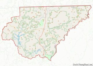
Clayton is a city in Rabun County, Georgia, United States. Its population was 2,003 at the 2020 census. The county seat of Rabun County, it is in the Blue Ridge Mountains.
| Name: | Clayton city |
|---|---|
| LSAD Code: | 25 |
| LSAD Description: | city (suffix) |
| State: | Georgia |
| County: | Rabun County |
| Elevation: | 1,926 ft (587 m) |
| Total Area: | 3.39 sq mi (8.78 km²) |
| Land Area: | 3.39 sq mi (8.77 km²) |
| Water Area: | 0.00 sq mi (0.01 km²) |
| Total Population: | 2,003 |
| Population Density: | 591.38/sq mi (228.30/km²) |
| ZIP code: | 30525 |
| Area code: | 706 |
| FIPS code: | 1316656 |
| GNISfeature ID: | 2404066 |
| Website: | cityofclaytonga.gov |
Online Interactive Map
Click on ![]() to view map in "full screen" mode.
to view map in "full screen" mode.
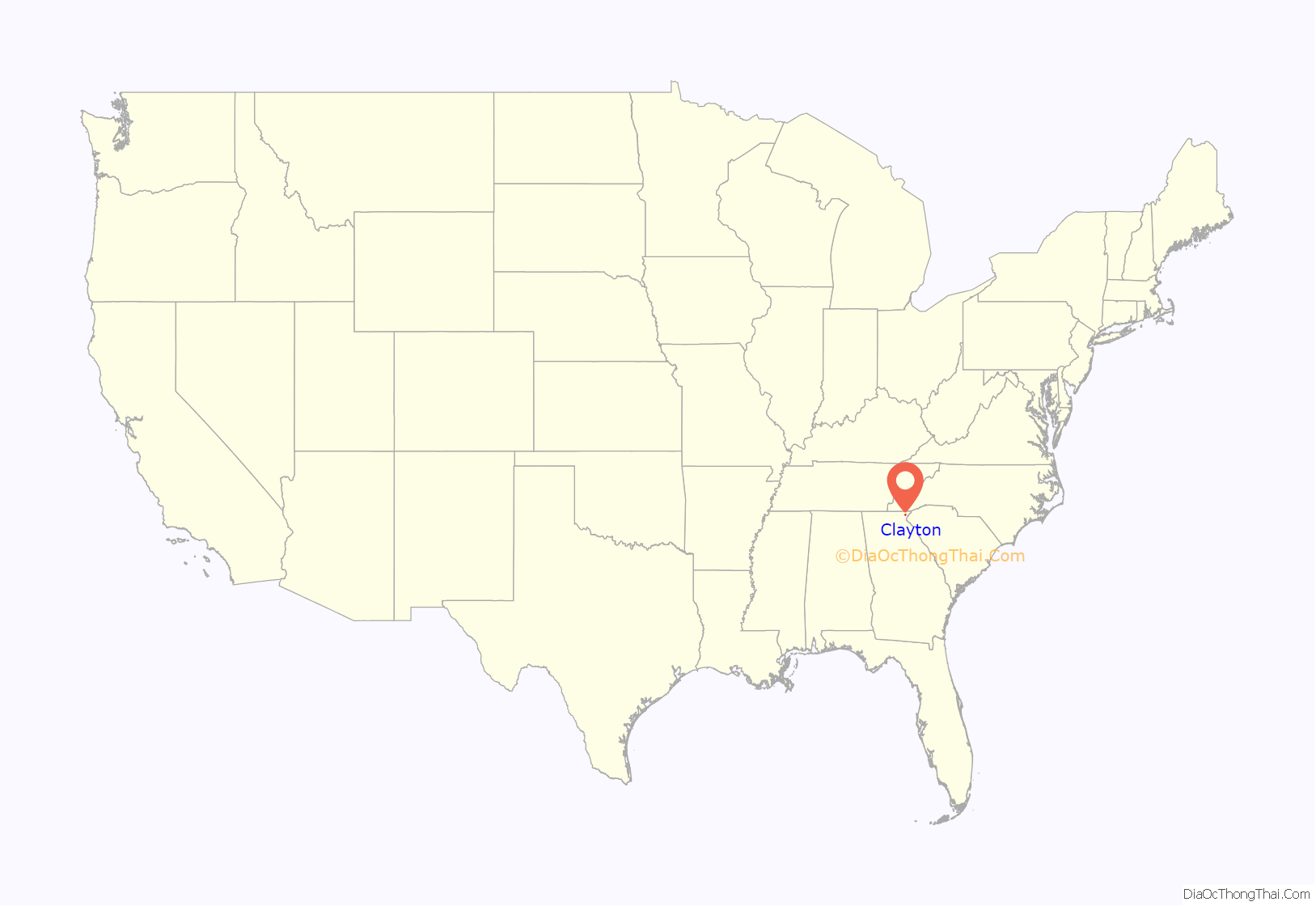
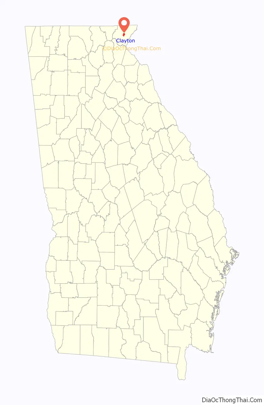
Clayton location map. Where is Clayton city?
History
The area that eventually became Clayton was called the Dividings because it sat at the intersection of three important Cherokee people trails. Explorer and naturalist William Bartram came through the Dividings in May 1775 while exploring what was later organized as Rabun County. Much later, after Clayton had grown to include the Dividings, two of the old Cherokee trails were improved as the main roads for Clayton and the county: U.S. 23/441 and U.S. 76.
Claytonsville was founded by European-American settlers in 1821 as the seat of Rabun County. In 1823, the town was incorporated and renamed Clayton. It was named after a prominent jurist and congressman, Judge Augustin S. Clayton, who served in both the Georgia House of Representatives and Georgia Senate before being elected as a US Representative from Georgia, serving two terms from 1831–1835.
In 1824, 67 acres (270,000 m) were purchased from Solomon Beck for $150, and city representatives laid out a site for a courthouse and the surrounding streets.
In 1904, the Tallulah Falls Railway was completed to Clayton from Cornelia, Georgia; it was extended to Franklin, North Carolina by 1907. Clayton has had public water and sanitary sewer service since the 1920s. Initially, the water supply was two springs on nearby Buzzard Roost Mountain; today it uses Lake Rabun as its water supply.
In 1936, Clayton recorded 30.0 inches (760 mm) of snowfall, the highest annual total for anywhere in Georgia.
Part of Disney’s Old Yeller was shot in Clayton in 1957. Grizzly was filmed on location in Clayton with many residents cast in supporting roles. Production began the week before Thanksgiving 1975 with shooting continuing for about six weeks. After release in May 1976, “Grizzly” became the most financially successful independent motion picture to date—a record it held for more than two years until John Carpenter’s “Halloween” hit theaters in October 1978.
Much of William Gibson’s 2014 novel The Peripheral is set in Clayton in the not-too-distant future.
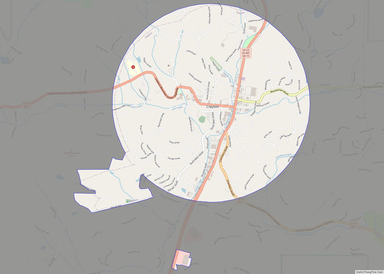
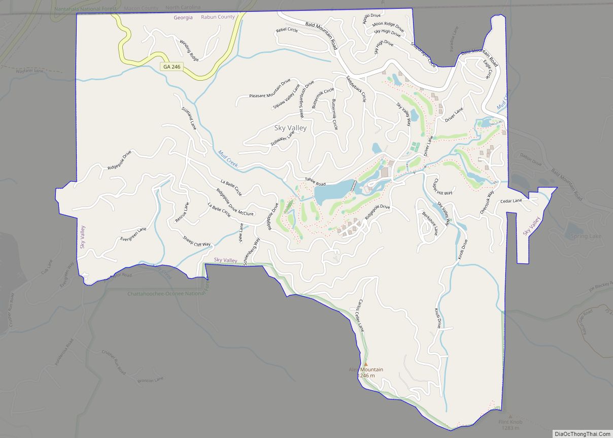
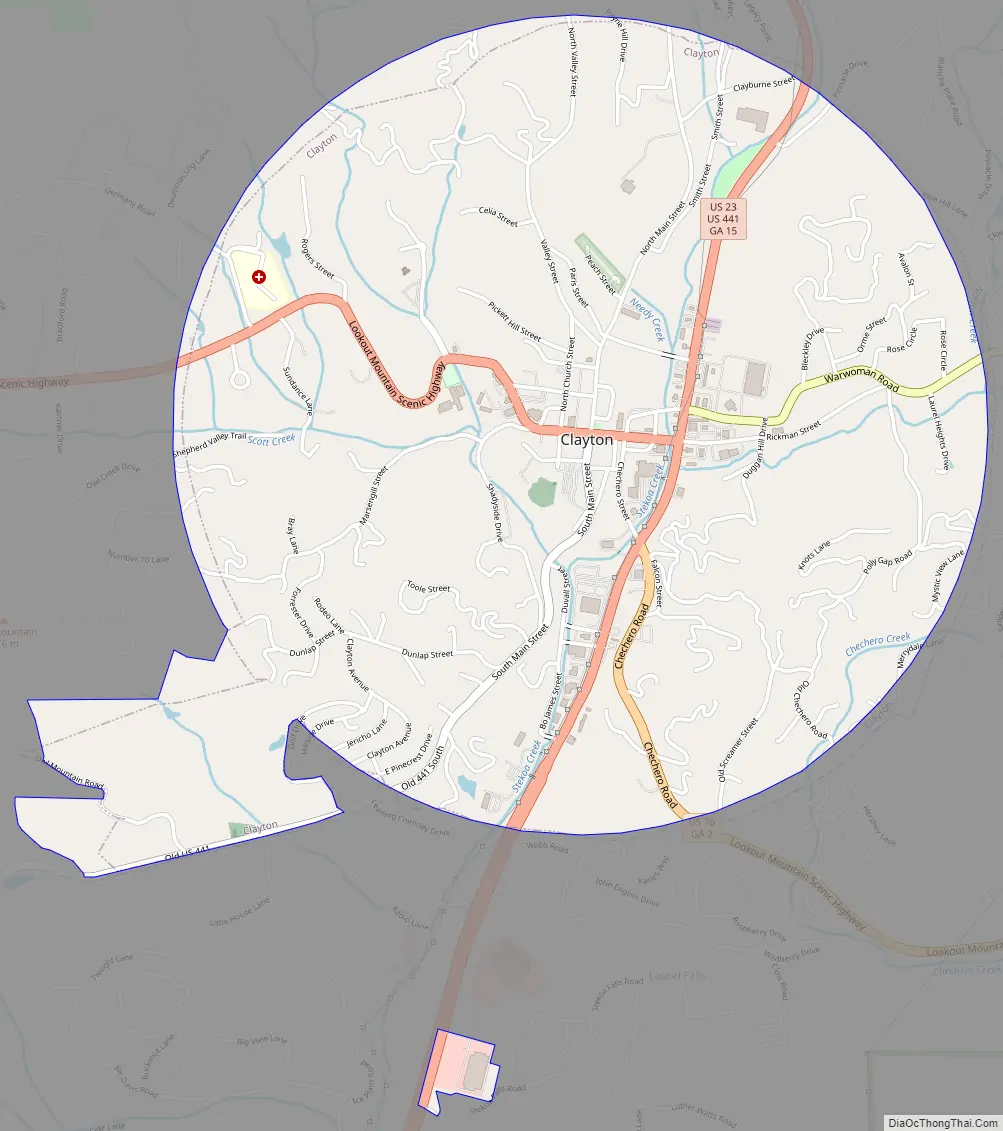
Clayton Road Map
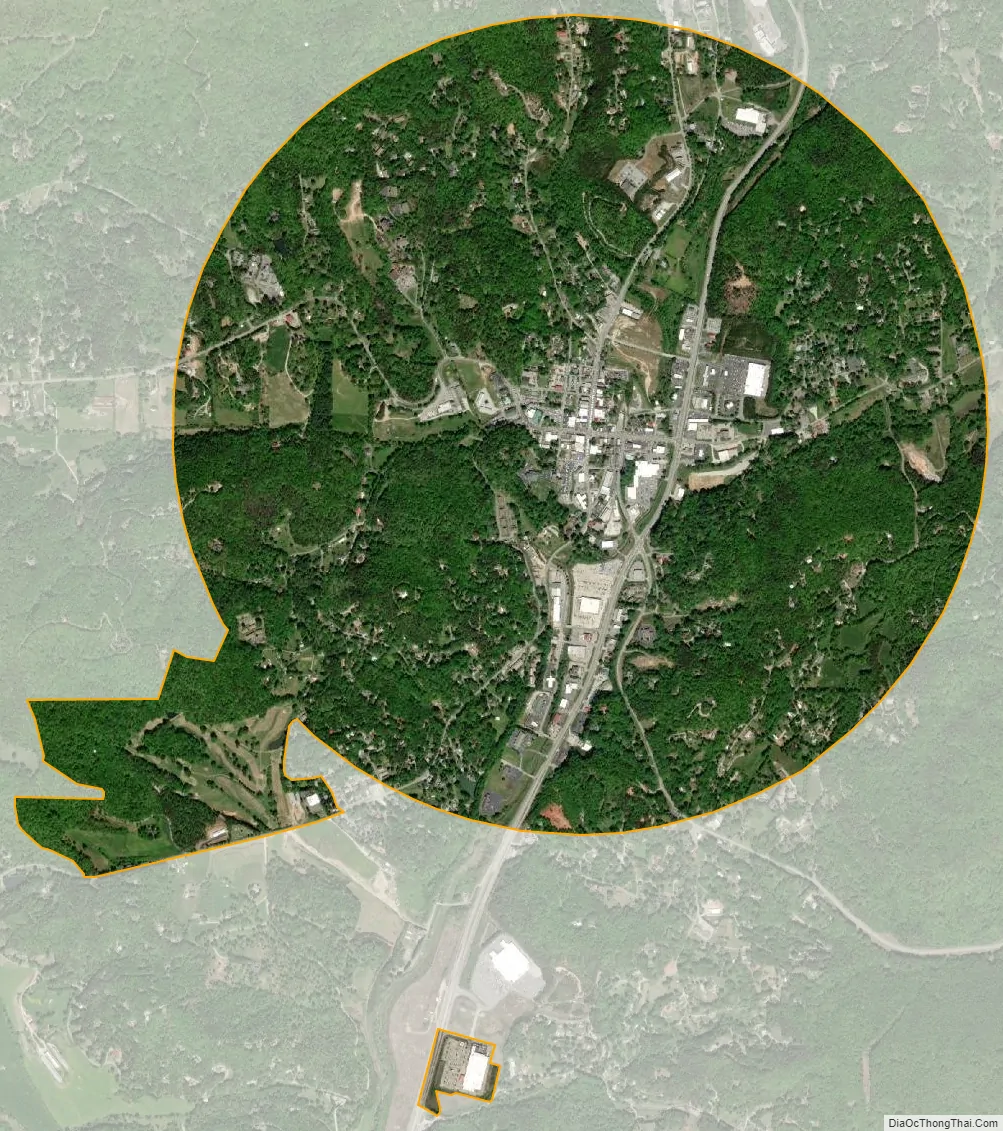
Clayton city Satellite Map
Geography
Clayton is at the southern base of 3,640-foot Black Rock Mountain. Immediately to its east is 3,000-foot Screamer Mountain. Other Blue Ridge Mountain peaks between 2,500 and 3,500 feet surround the city.
According to the United States Census Bureau, Clayton has a total area of 3.1 square miles (8.0 km), all of it land Its downtown is at 1,925 feet (587 m), and number of hilltops in the city limits exceeds 2,200 feet.
Climate
See also
Map of Georgia State and its subdivision:- Appling
- Atkinson
- Bacon
- Baker
- Baldwin
- Banks
- Barrow
- Bartow
- Ben Hill
- Berrien
- Bibb
- Bleckley
- Brantley
- Brooks
- Bryan
- Bulloch
- Burke
- Butts
- Calhoun
- Camden
- Candler
- Carroll
- Catoosa
- Charlton
- Chatham
- Chattahoochee
- Chattooga
- Cherokee
- Clarke
- Clay
- Clayton
- Clinch
- Cobb
- Coffee
- Colquitt
- Columbia
- Cook
- Coweta
- Crawford
- Crisp
- Dade
- Dawson
- Decatur
- DeKalb
- Dodge
- Dooly
- Dougherty
- Douglas
- Early
- Echols
- Effingham
- Elbert
- Emanuel
- Evans
- Fannin
- Fayette
- Floyd
- Forsyth
- Franklin
- Fulton
- Gilmer
- Glascock
- Glynn
- Gordon
- Grady
- Greene
- Gwinnett
- Habersham
- Hall
- Hancock
- Haralson
- Harris
- Hart
- Heard
- Henry
- Houston
- Irwin
- Jackson
- Jasper
- Jeff Davis
- Jefferson
- Jenkins
- Johnson
- Jones
- Lamar
- Lanier
- Laurens
- Lee
- Liberty
- Lincoln
- Long
- Lowndes
- Lumpkin
- Macon
- Madison
- Marion
- McDuffie
- McIntosh
- Meriwether
- Miller
- Mitchell
- Monroe
- Montgomery
- Morgan
- Murray
- Muscogee
- Newton
- Oconee
- Oglethorpe
- Paulding
- Peach
- Pickens
- Pierce
- Pike
- Polk
- Pulaski
- Putnam
- Quitman
- Rabun
- Randolph
- Richmond
- Rockdale
- Schley
- Screven
- Seminole
- Spalding
- Stephens
- Stewart
- Sumter
- Talbot
- Taliaferro
- Tattnall
- Taylor
- Telfair
- Terrell
- Thomas
- Tift
- Toombs
- Towns
- Treutlen
- Troup
- Turner
- Twiggs
- Union
- Upson
- Walker
- Walton
- Ware
- Warren
- Washington
- Wayne
- Webster
- Wheeler
- White
- Whitfield
- Wilcox
- Wilkes
- Wilkinson
- Worth
- Alabama
- Alaska
- Arizona
- Arkansas
- California
- Colorado
- Connecticut
- Delaware
- District of Columbia
- Florida
- Georgia
- Hawaii
- Idaho
- Illinois
- Indiana
- Iowa
- Kansas
- Kentucky
- Louisiana
- Maine
- Maryland
- Massachusetts
- Michigan
- Minnesota
- Mississippi
- Missouri
- Montana
- Nebraska
- Nevada
- New Hampshire
- New Jersey
- New Mexico
- New York
- North Carolina
- North Dakota
- Ohio
- Oklahoma
- Oregon
- Pennsylvania
- Rhode Island
- South Carolina
- South Dakota
- Tennessee
- Texas
- Utah
- Vermont
- Virginia
- Washington
- West Virginia
- Wisconsin
- Wyoming