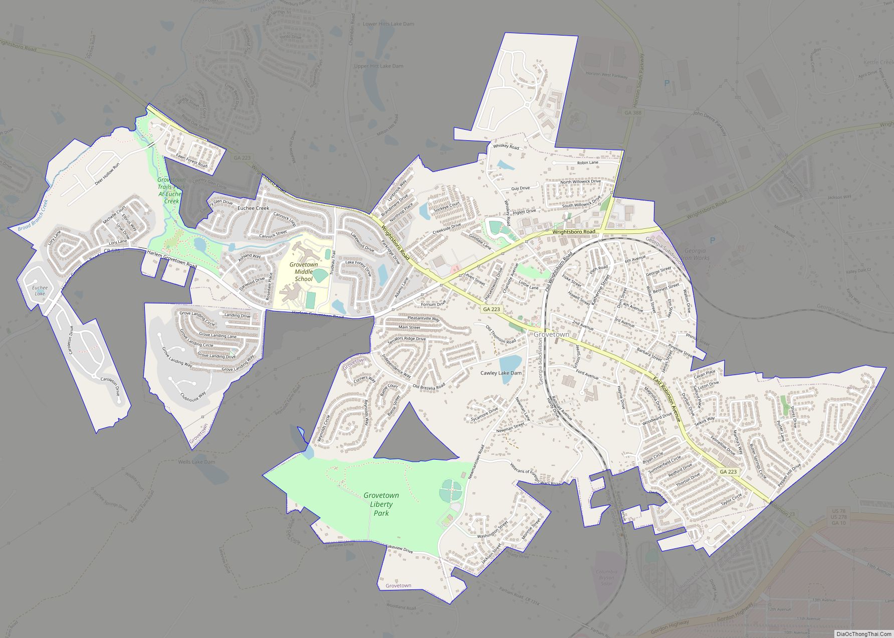
Grovetown is a city in Columbia County, Georgia, United States. It is part of the Augusta metropolitan area and the Central Savannah River Area. The 2019 population estimate was 15,152. The mayor is Gary Jones. Climates and Weather Extremes Grovetown has yet had some extreme weather. The strongest tornado was an EF2 on October 31st ... Read more
Georgia Cities and Places
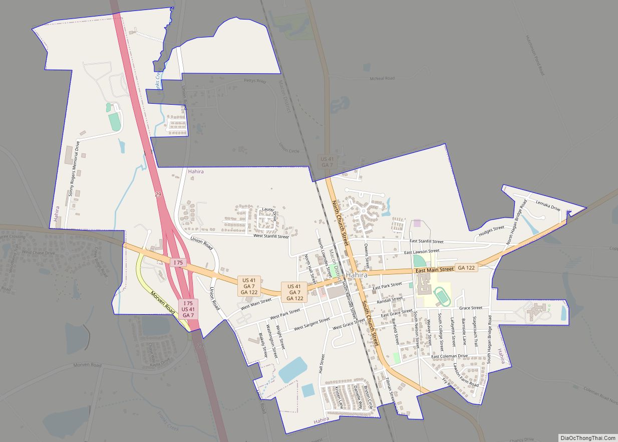
Hahira (/heɪˈhaɪrə/) is a city in northwest Lowndes County, Georgia, United States. The population was 2,737 at the 2010 census, up from 1,626 at the 2000 census. Hahira has a mayor-council form of elected government. It is led by Mayor Bruce Cain and the four members of the City Council, elected from single-member districts. The ... Read more
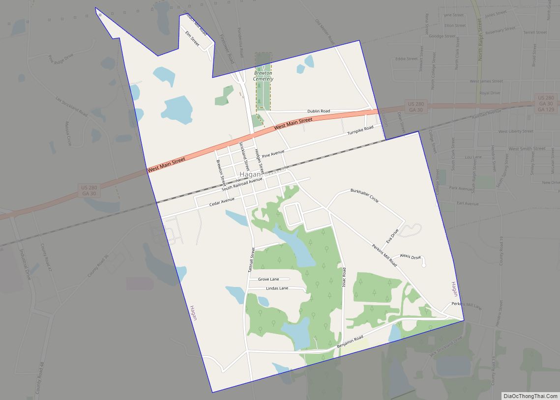
Hagan is a city in Evans County, Georgia, United States. The population was 996 at the 2010 census, up from 898 in 2000. Hagan city overview: Name: Hagan city LSAD Code: 25 LSAD Description: city (suffix) State: Georgia County: Evans County Elevation: 190 ft (58 m) Total Area: 2.15 sq mi (5.58 km²) Land Area: 2.04 sq mi (5.30 km²) Water Area: 0.11 sq mi ... Read more
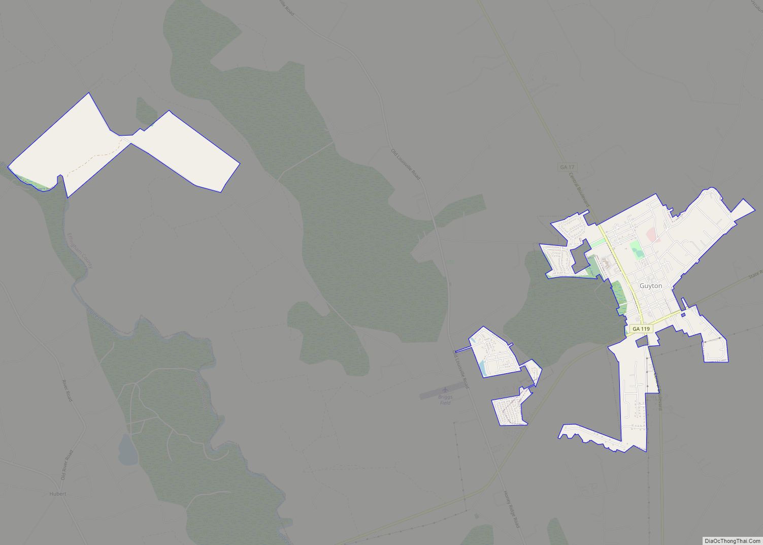
Guyton is a city in Effingham County, Georgia, United States. The population was 2,289 at the 2020 census, up from 1,684 in 2010. Guyton is located 28 miles (45 km) northwest of downtown Savannah, and is part of the Savannah Metropolitan Statistical Area. Guyton city overview: Name: Guyton city LSAD Code: 25 LSAD Description: city (suffix) ... Read more
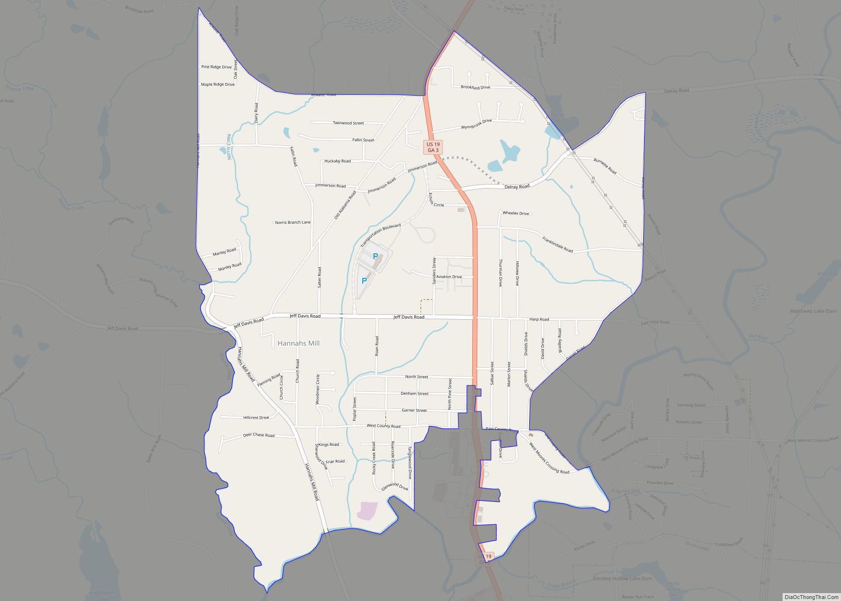
Hannahs Mill is a census-designated place (CDP) in Upson County, Georgia, United States. The population was 3,267 at the 2000 census. Hannahs Mill CDP overview: Name: Hannahs Mill CDP LSAD Code: 57 LSAD Description: CDP (suffix) State: Georgia County: Upson County Elevation: 748 ft (228 m) Total Area: 4.36 sq mi (11.28 km²) Land Area: 4.32 sq mi (11.19 km²) Water Area: 0.04 sq mi ... Read more
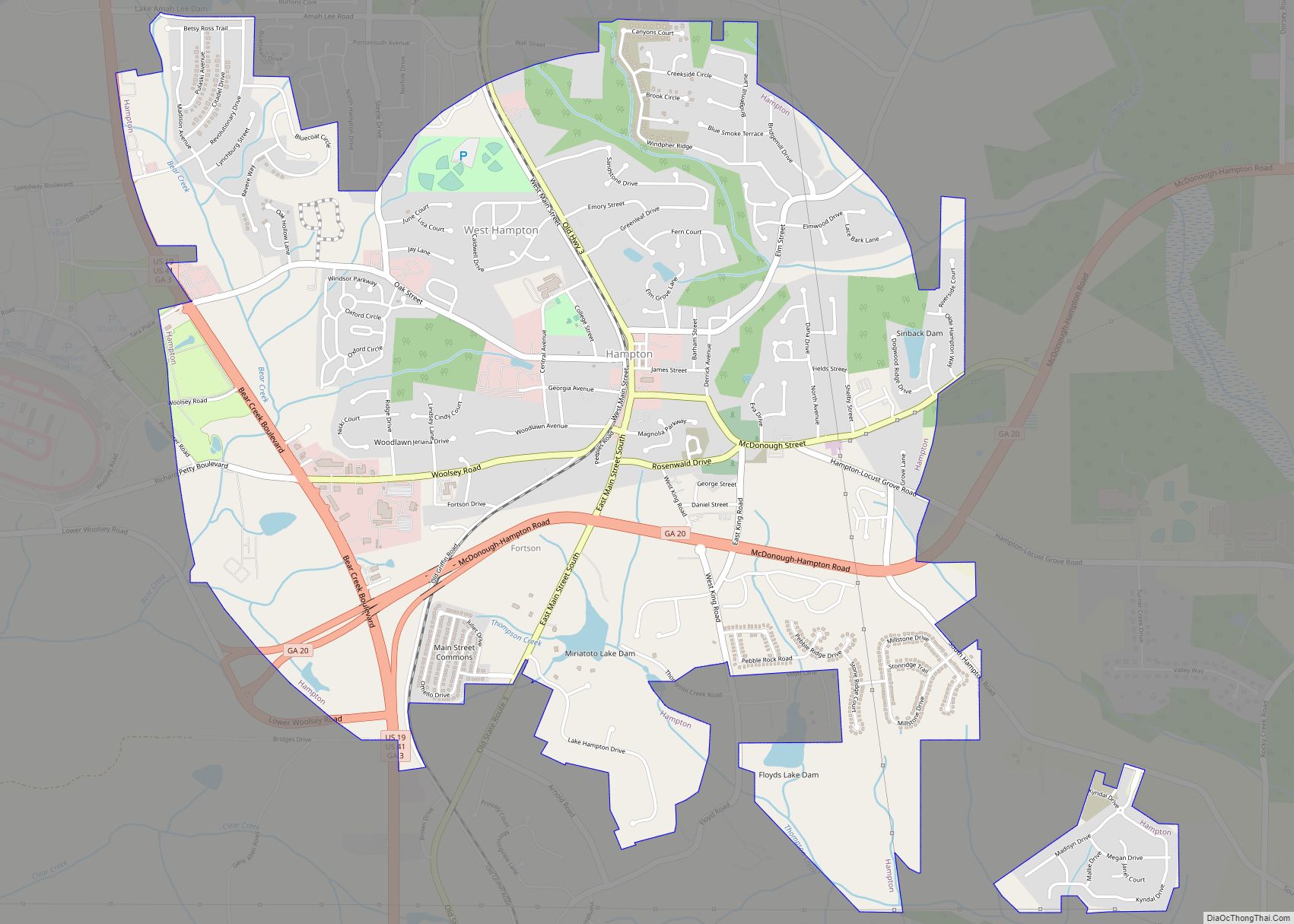
Hampton is a city in southwestern Henry County, Georgia, United States. As of the 2010 census, the city had a population of 6,987, up from 3,857 at the 2000 census. By 2018 the estimated population was 7,922. “Hampton” mailing addresses outside the city limits reach into rural parts of eastern Clayton County and northern Spalding ... Read more
Hamilton is a city in, and the county seat of Harris County, Georgia, United States. It is part of the Columbus, Georgia–Alabama Metropolitan Statistical Area. The population was 1,680 at the 2020 census, up from 307 at the 2000 census. As of 2020 the population had risen to an estimated 1780. Hamilton city overview: Name: ... Read more
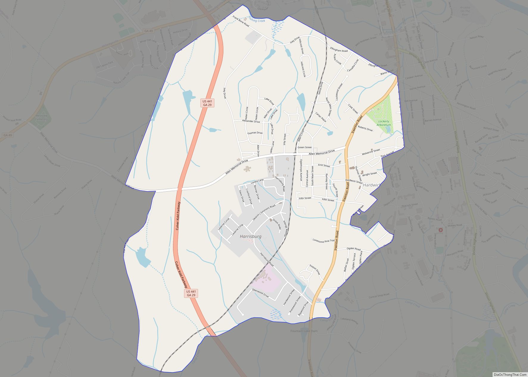
Hardwick is a census-designated place (CDP) in Baldwin County, Georgia, United States. The population was 3,329 at the 2020 census, down from 5,819 in 2000, at which time it was listed as Midway-Hardwick. It is laid out around Central State Hospital. It is part of the Milledgeville Micropolitan Statistical Area. The zip code for Hardwick ... Read more
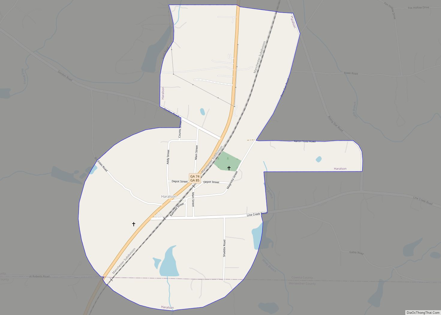
Haralson is a town in Coweta and Meriwether counties in the U.S. state of Georgia. The population was 172 at the 2020 census. It is noted for being one of the filming locations for both The Walking Dead and Lawless. Haralson town overview: Name: Haralson town LSAD Code: 43 LSAD Description: town (suffix) State: Georgia ... Read more
Hapeville (Abbr: HVL), established 1891, is a city in Fulton County, Georgia, United States. Hapeville is 2.5 square miles wide and located inside I-285 between the city of Atlanta to its North and the Atlanta International Airport to its south. The population was 6,553 at the 2020 census, an increase of 180 residents from the ... Read more
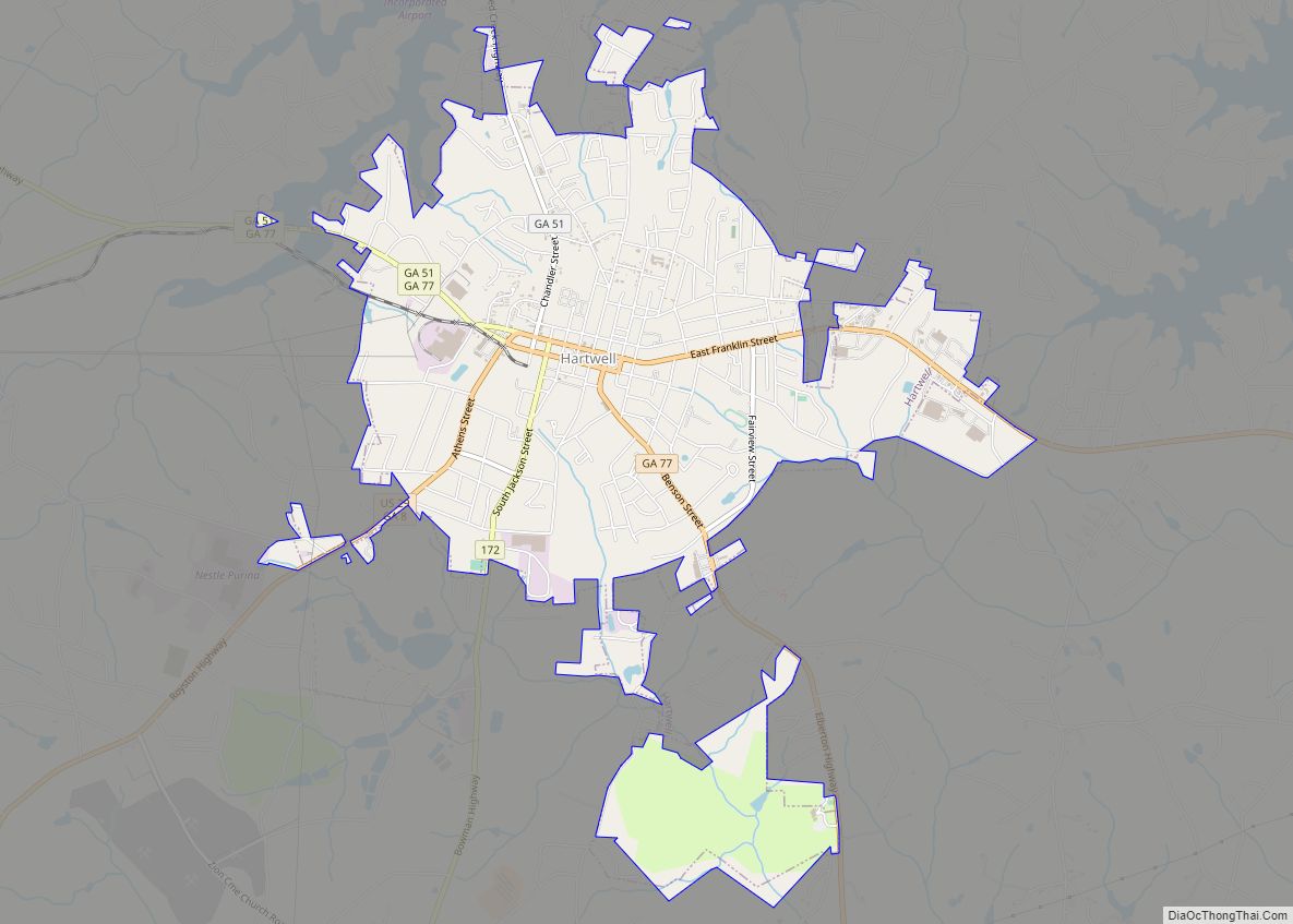
Hartwell is a city in Hart County, Georgia, United States. The population was 4,469 at the 2010 census. The city is the county seat of Hart County. Hartwell city overview: Name: Hartwell city LSAD Code: 25 LSAD Description: city (suffix) State: Georgia County: Hart County Elevation: 801 ft (244 m) Total Area: 5.05 sq mi (13.08 km²) Land Area: 5.04 sq mi ... Read more
Harrison is a town in Washington County, Georgia, United States. The population was 489 at the 2010 census. Harrison town overview: Name: Harrison town LSAD Code: 43 LSAD Description: town (suffix) State: Georgia County: Washington County Elevation: 410 ft (125 m) Total Area: 1.77 sq mi (4.58 km²) Land Area: 1.71 sq mi (4.42 km²) Water Area: 0.06 sq mi (0.15 km²) Total Population: 339 Population ... Read more
