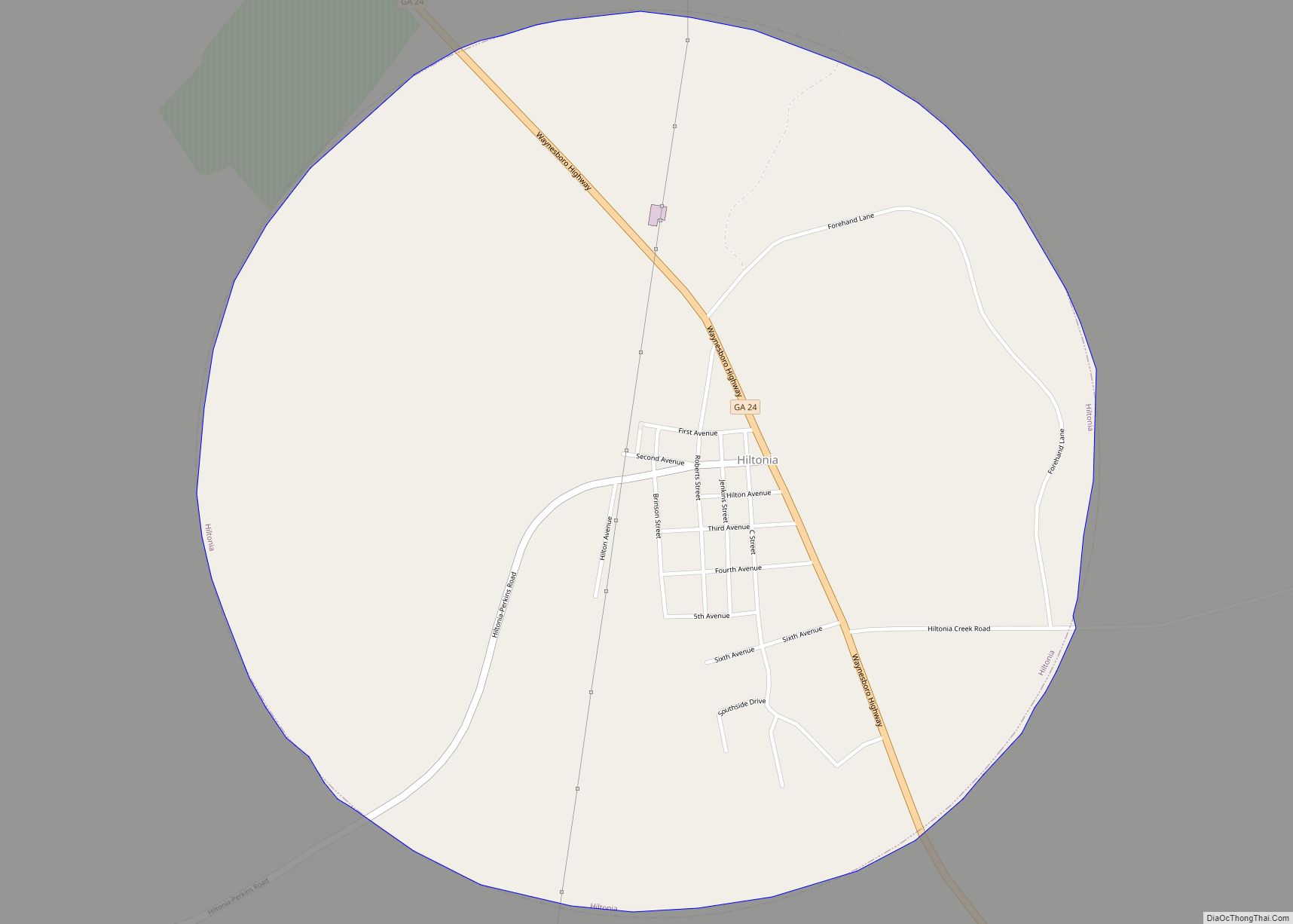
Hiltonia is a city in Screven County, Georgia, United States. The population was 421 at the 2000 census. Hiltonia town overview: Name: Hiltonia town LSAD Code: 43 LSAD Description: town (suffix) State: Georgia County: Screven County Elevation: 180 ft (55 m) Total Area: 1.74 sq mi (4.51 km²) Land Area: 1.72 sq mi (4.46 km²) Water Area: 0.02 sq mi (0.05 km²) Total Population: 310 Population ... Read more
Georgia Cities and Places
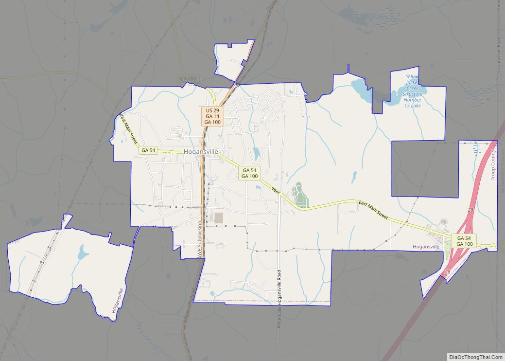
Hogansville is a city in Troup County, Georgia, United States. The population was 3,060 at the 2010 census. Since 1998, Hogansville has held an annual Hummingbird Festival in October. It is located approximately halfway between Atlanta and Columbus, Georgia on Interstate 85 via Interstate 185. Hogansville city overview: Name: Hogansville city LSAD Code: 25 LSAD ... Read more
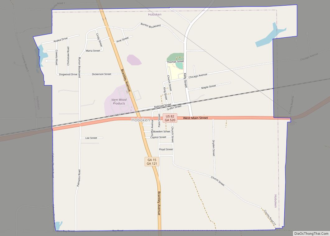
Hoboken is a city in Brantley County, Georgia, United States. It is part of the Brunswick, Georgia Metropolitan Statistical Area. As of the 2020 census, the city had a population of 480. Hoboken city overview: Name: Hoboken city LSAD Code: 25 LSAD Description: city (suffix) State: Georgia County: Brantley County Elevation: 131 ft (40 m) Total Area: ... Read more
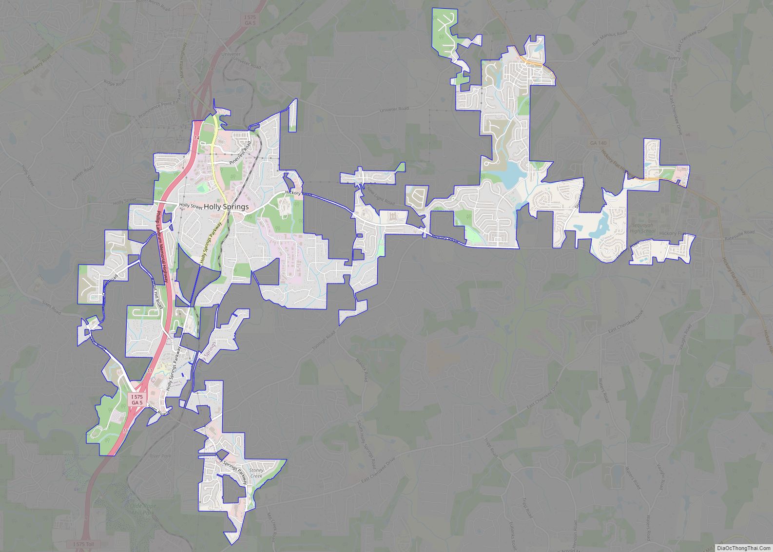
Holly Springs is a city in Cherokee County, Georgia, United States. The population was 9,189 as of the 2010 census, up from 3,195 in 2000. Holly Springs city overview: Name: Holly Springs city LSAD Code: 25 LSAD Description: city (suffix) State: Georgia County: Cherokee County Elevation: 1,109 ft (338 m) Total Area: 7.29 sq mi (18.88 km²) Land Area: 7.19 sq mi ... Read more
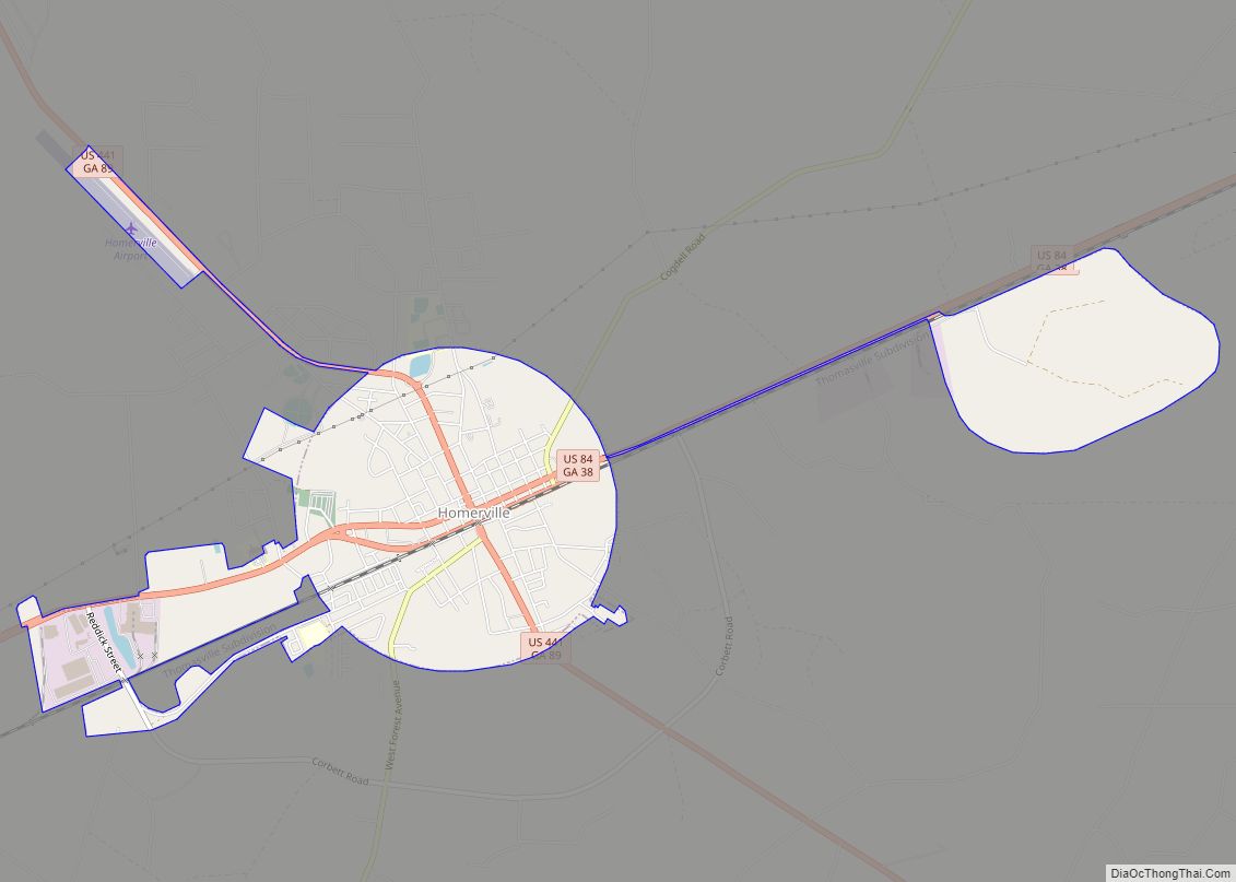
Homerville is a city in Clinch County, Georgia, United States. Its population was 2,456 at the 2010 census, a decrease of 12.38% from 2,803 in 2000. It is the county seat of Clinch County. It was incorporated February 15, 1869. Homerville city overview: Name: Homerville city LSAD Code: 25 LSAD Description: city (suffix) State: Georgia ... Read more
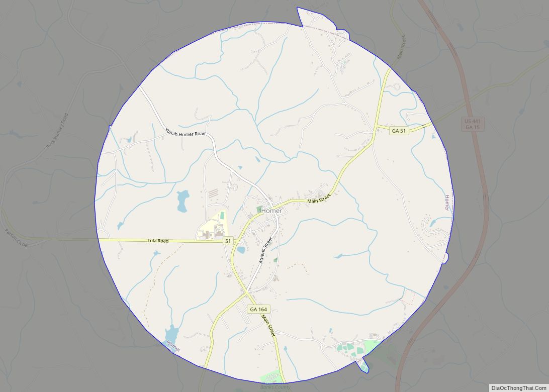
Homer is a town in Banks County, Georgia, United States. The population was 1,141 at the 2010 census. The town is the county seat of Banks County. Homer town overview: Name: Homer town LSAD Code: 43 LSAD Description: town (suffix) State: Georgia County: Banks County Elevation: 837 ft (255 m) Total Area: 9.84 sq mi (25.48 km²) Land Area: 9.80 sq mi ... Read more
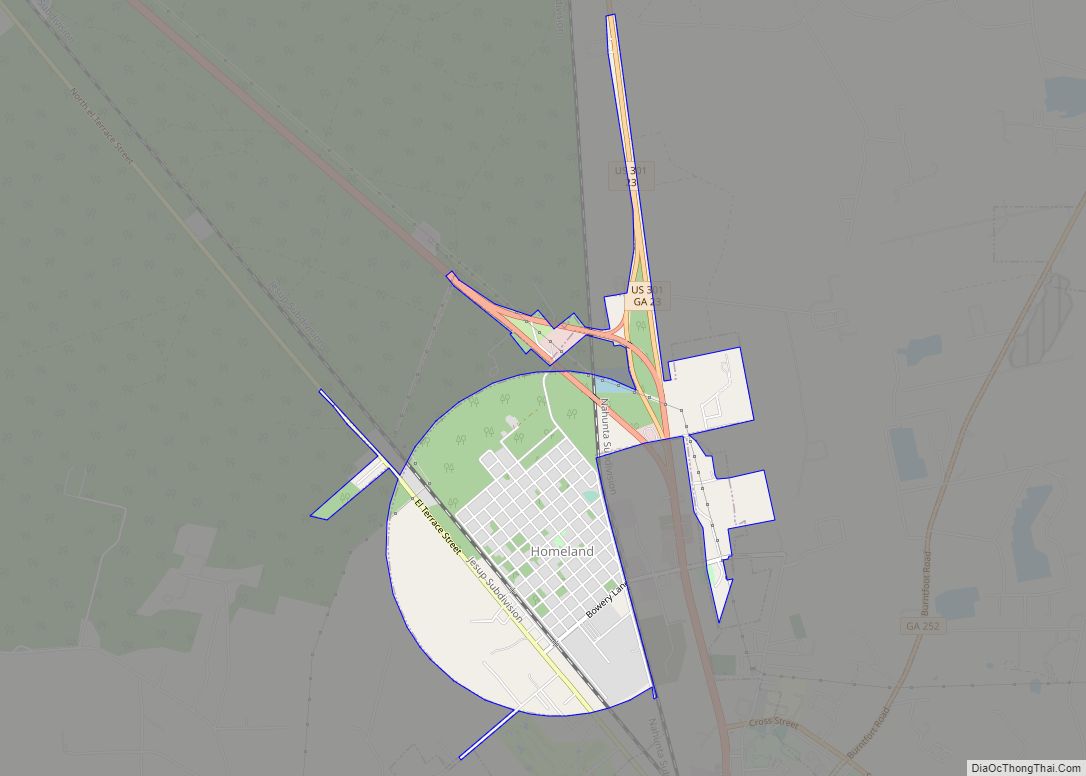
Homeland is a city in Charlton County, Georgia, United States. The population was 910 at the 2010 census. Homeland city overview: Name: Homeland city LSAD Code: 25 LSAD Description: city (suffix) State: Georgia County: Charlton County Elevation: 95 ft (29 m) Total Area: 2.50 sq mi (6.47 km²) Land Area: 2.50 sq mi (6.47 km²) Water Area: 0.00 sq mi (0.00 km²) Total Population: 886 Population ... Read more
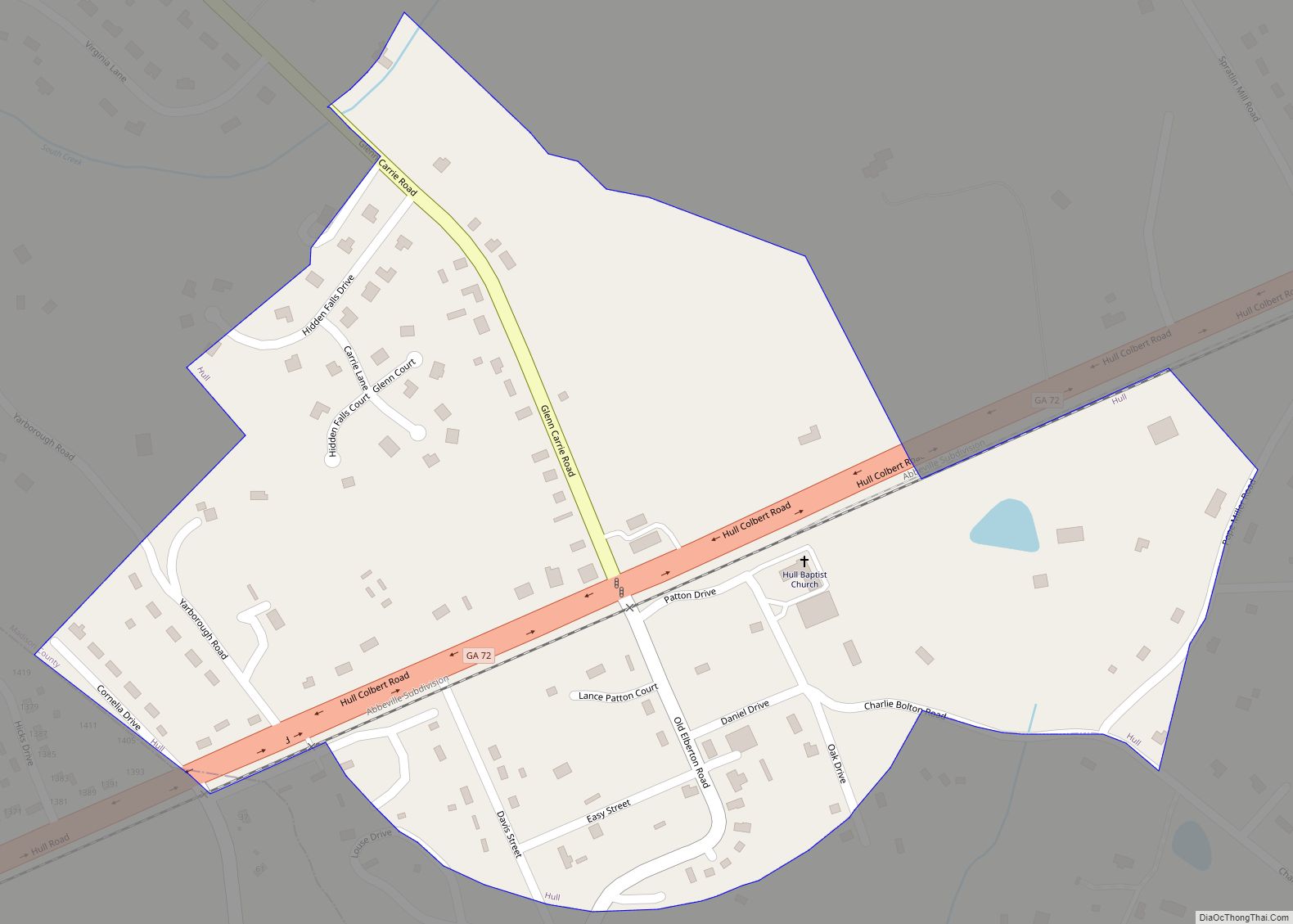
Hull is a city in Madison County, Georgia, United States. The population was 230 at the 2020 census, up from 198 in 2010. Hull city overview: Name: Hull city LSAD Code: 25 LSAD Description: city (suffix) State: Georgia County: Madison County Elevation: 820 ft (250 m) Total Area: 0.32 sq mi (0.83 km²) Land Area: 0.32 sq mi (0.83 km²) Water Area: 0.00 sq mi ... Read more
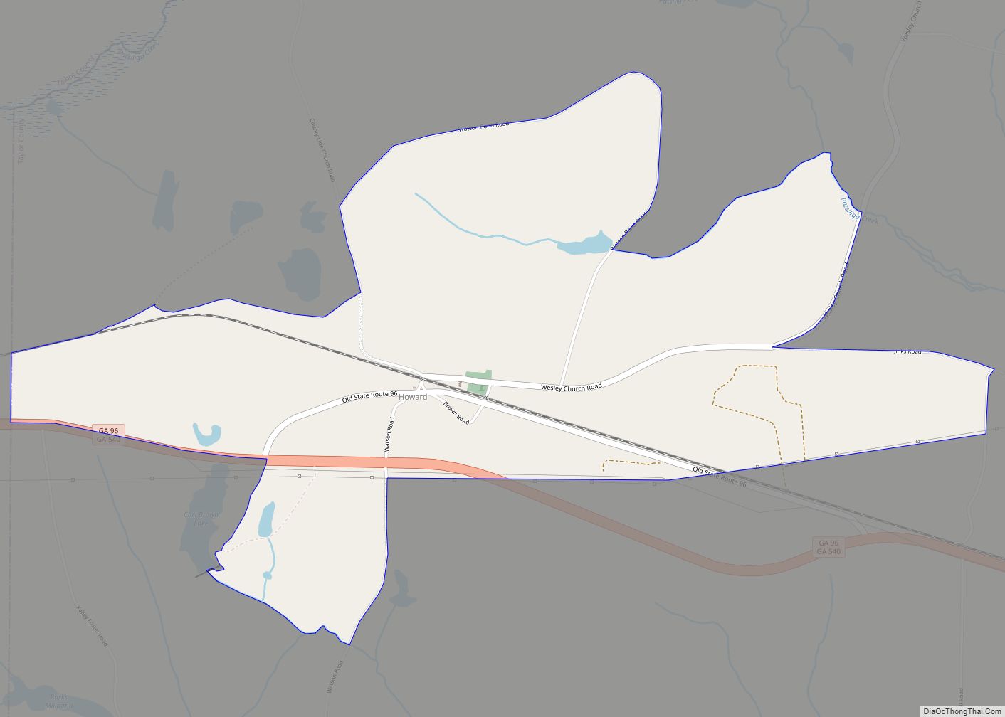
Howard is a census-designated place and unincorporated community in Taylor County, Georgia, United States. Its population was 50 as of the 2020 census. Howard has a post office with ZIP code 31039. Georgia State Route 96 passes through the community. Howard CDP overview: Name: Howard CDP LSAD Code: 57 LSAD Description: CDP (suffix) State: Georgia ... Read more
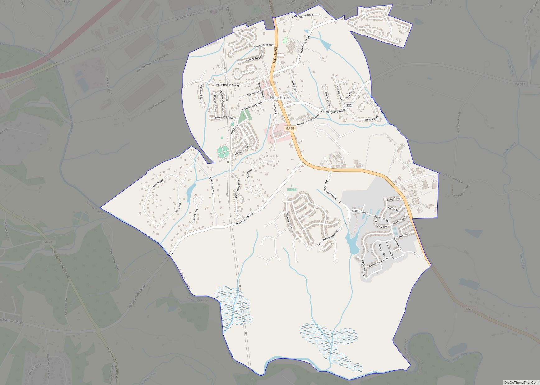
Hoschton /ˈhʊʃtən/ is a city in Jackson County, Georgia, United States. The population was 1,377 at the 2010 census. As of 2018 the estimated population was 1,916. Hoschton city overview: Name: Hoschton city LSAD Code: 25 LSAD Description: city (suffix) State: Georgia County: Jackson County Elevation: 902 ft (275 m) Total Area: 4.88 sq mi (12.64 km²) Land Area: 4.83 sq mi ... Read more
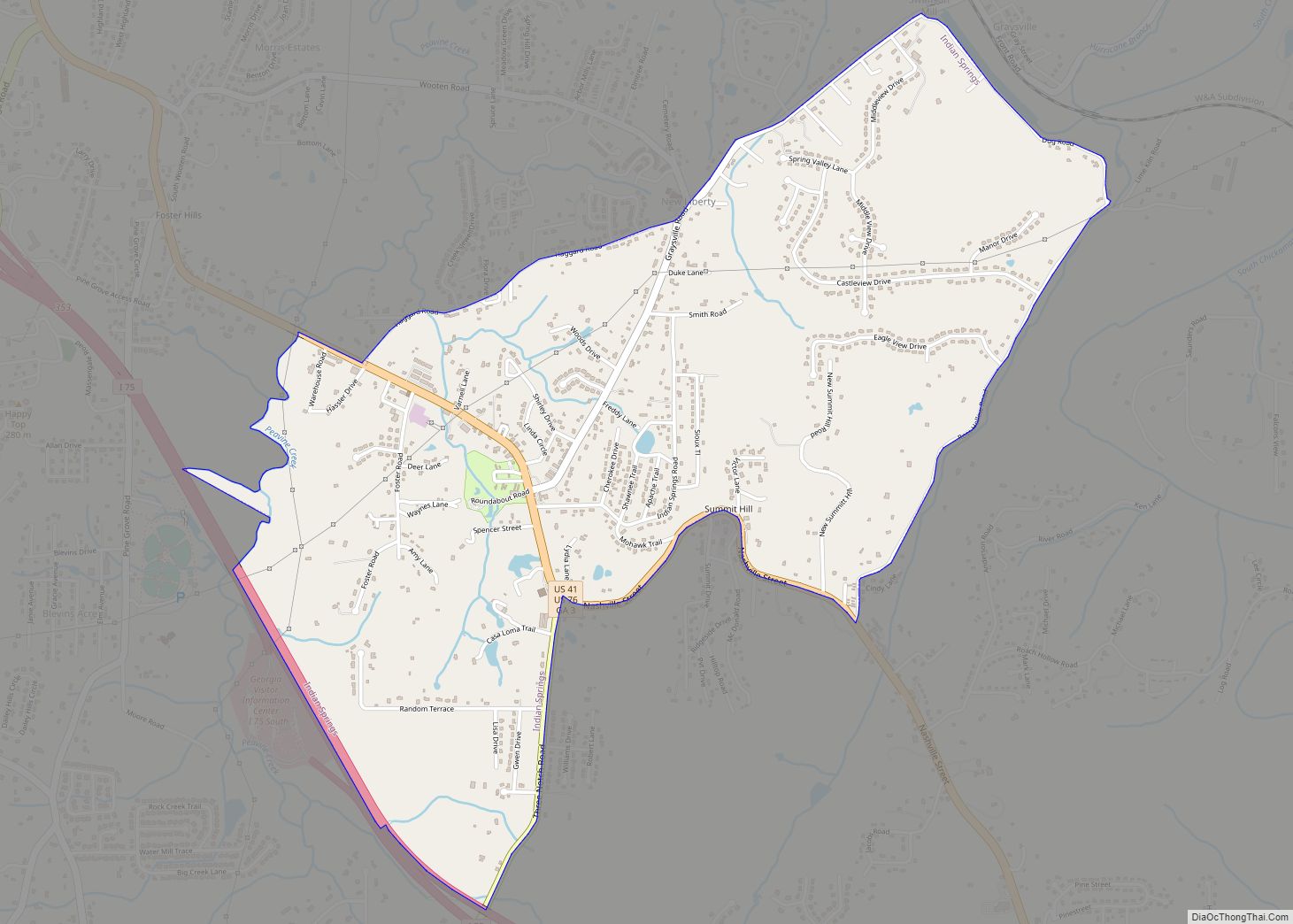
Indian Springs is a census-designated place (CDP) in Catoosa County, Georgia, United States. The population was 2,336 at the 2020 census. It is part of the Chattanooga, TN–GA Metropolitan Statistical Area. Indian Springs CDP overview: Name: Indian Springs CDP LSAD Code: 57 LSAD Description: CDP (suffix) State: Georgia County: Catoosa County Elevation: 719 ft (219 m) Total ... Read more
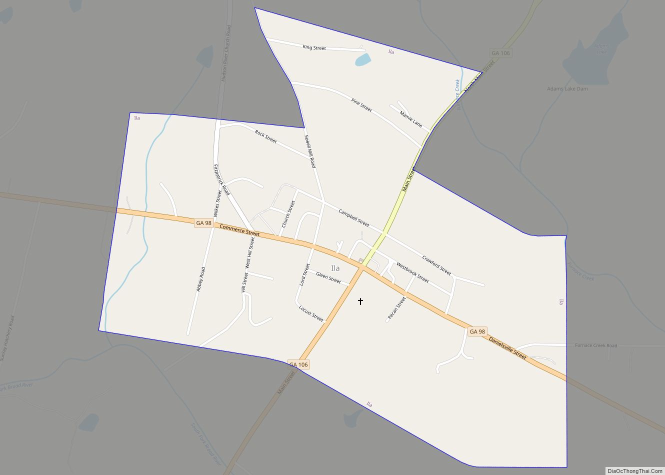
Ila is a city in Madison County, Georgia, United States. The population was 350 at the 2020 census. Ila city overview: Name: Ila city LSAD Code: 25 LSAD Description: city (suffix) State: Georgia County: Madison County Elevation: 801 ft (244 m) Total Area: 0.77 sq mi (2.00 km²) Land Area: 0.77 sq mi (1.99 km²) Water Area: 0.00 sq mi (0.00 km²) Total Population: 350 Population ... Read more
