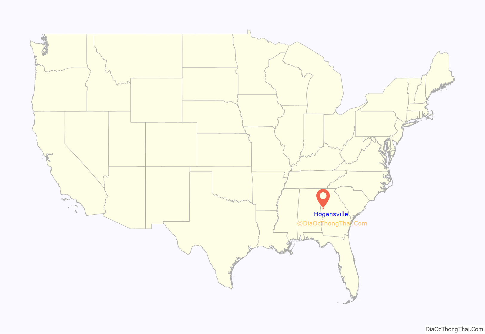
Hogansville is a city in Troup County, Georgia, United States. The population was 3,060 at the 2010 census. Since 1998, Hogansville has held an annual Hummingbird Festival in October. It is located approximately halfway between Atlanta and Columbus, Georgia on Interstate 85 via Interstate 185.
| Name: | Hogansville city |
|---|---|
| LSAD Code: | 25 |
| LSAD Description: | city (suffix) |
| State: | Georgia |
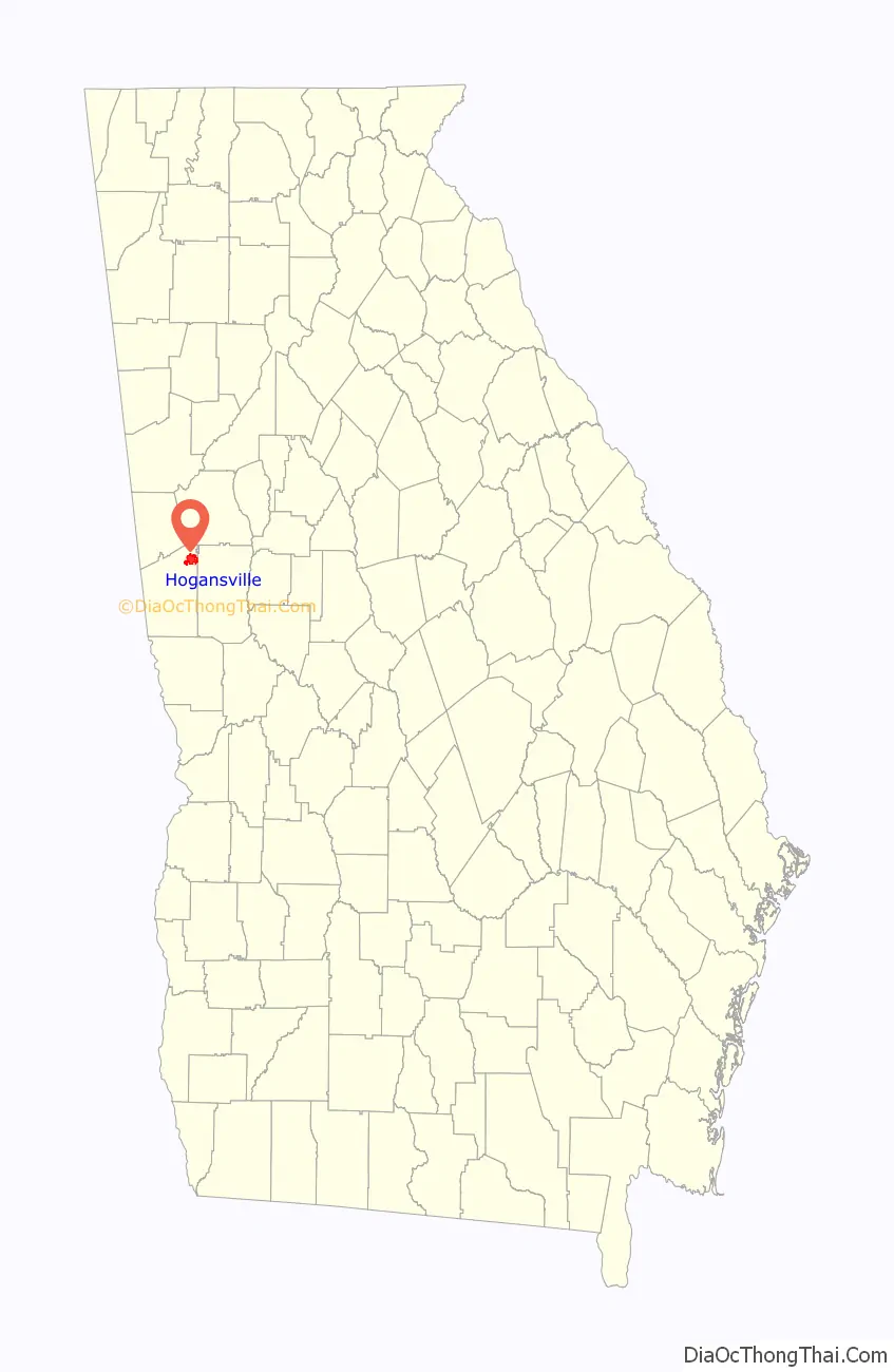
| County: | Troup County |
| Elevation: | 712 ft (217 m) |
| Total Area: | 7.40 sq mi (19.16 km²) |
| Land Area: | 7.32 sq mi (18.95 km²) |
| Water Area: | 0.08 sq mi (0.21 km²) |
| Total Population: | 3,267 |
| Population Density: | 446.49/sq mi (172.40/km²) |
| ZIP code: | 30230 |
| Area code: | 706 |
| FIPS code: | 1339244 |
| GNISfeature ID: | 0315520 |
| Website: | www.cityofhogansville.org |
Online Interactive Map
Click on ![]() to view map in "full screen" mode.
to view map in "full screen" mode.
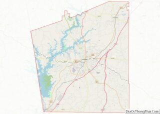
Hogansville location map. Where is Hogansville city?
History
The community was named after William Hogan, owner of the original town site.
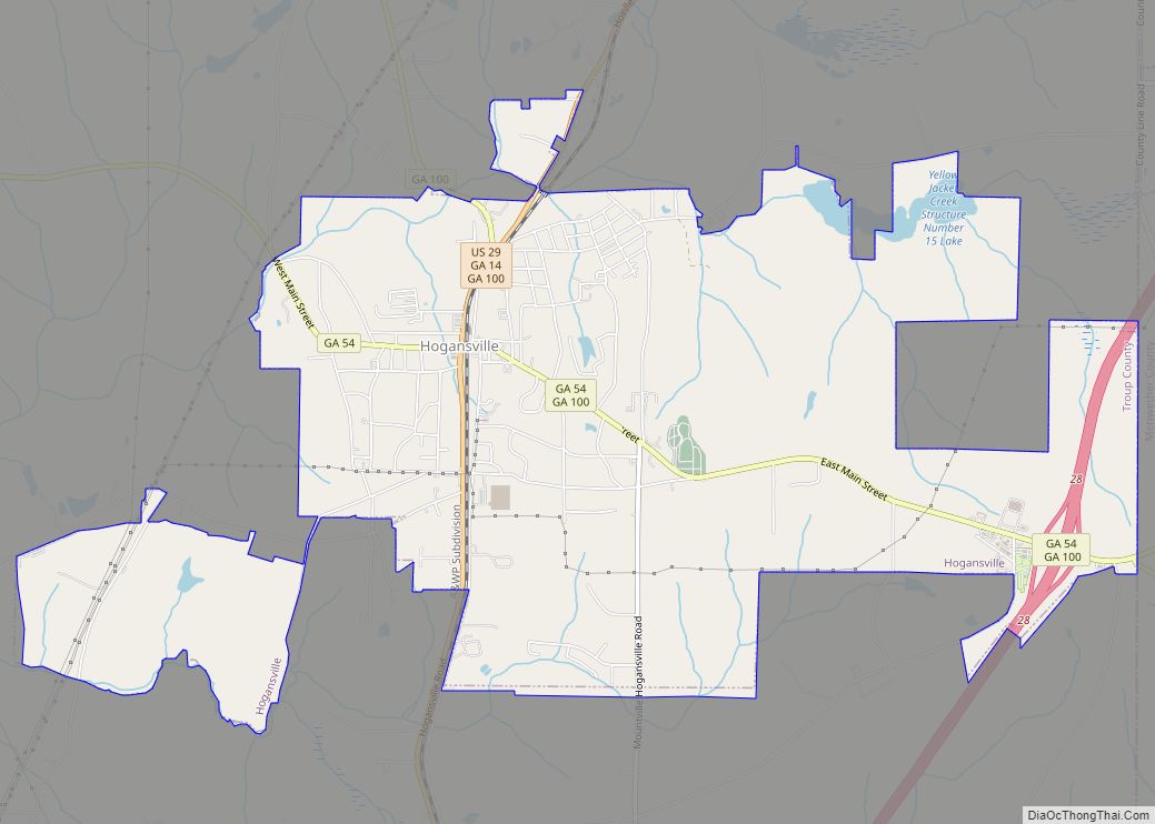
Hogansville Road Map
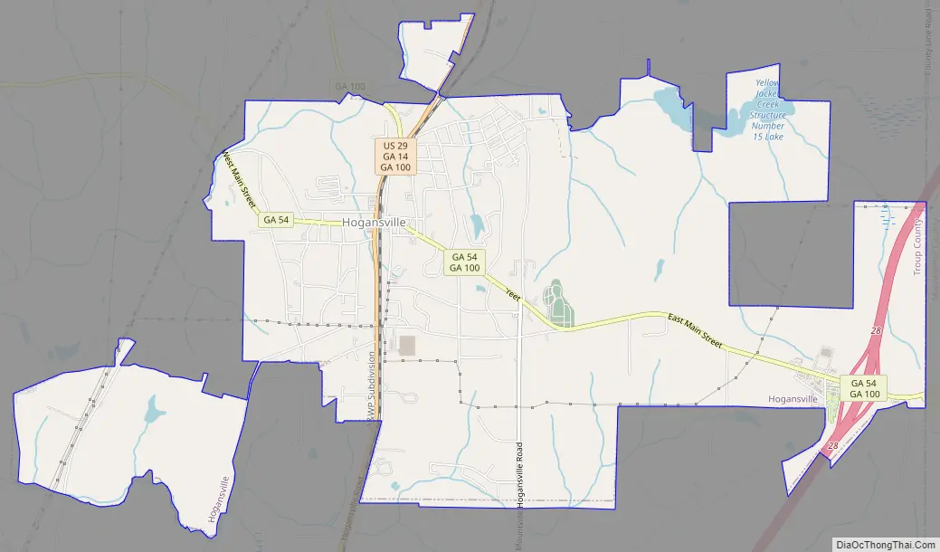
Hogansville city Satellite Map

Geography
Hogansville is located at 33°10′12″N 84°54′33″W / 33.17000°N 84.90917°W / 33.17000; -84.90917 (33.170022, -84.909146). Hogansville is located along Interstate 85, which runs northeast to southwest through the city, leading northeast 50 mi (80 km) to Atlanta and southwest 98 mi (158 km) to Montgomery, Alabama. Other highways which run through the city include U.S. Route 29, Georgia State Route 54, and Georgia State Route 100.
According to the United States Census Bureau, the city has a total area of 6.7 square miles (17 km), of which 6.6 square miles (17 km) is land and 0.04 square miles (0.10 km) (0.45%) is water.
See also
Map of Georgia State and its subdivision:- Appling
- Atkinson
- Bacon
- Baker
- Baldwin
- Banks
- Barrow
- Bartow
- Ben Hill
- Berrien
- Bibb
- Bleckley
- Brantley
- Brooks
- Bryan
- Bulloch
- Burke
- Butts
- Calhoun
- Camden
- Candler
- Carroll
- Catoosa
- Charlton
- Chatham
- Chattahoochee
- Chattooga
- Cherokee
- Clarke
- Clay
- Clayton
- Clinch
- Cobb
- Coffee
- Colquitt
- Columbia
- Cook
- Coweta
- Crawford
- Crisp
- Dade
- Dawson
- Decatur
- DeKalb
- Dodge
- Dooly
- Dougherty
- Douglas
- Early
- Echols
- Effingham
- Elbert
- Emanuel
- Evans
- Fannin
- Fayette
- Floyd
- Forsyth
- Franklin
- Fulton
- Gilmer
- Glascock
- Glynn
- Gordon
- Grady
- Greene
- Gwinnett
- Habersham
- Hall
- Hancock
- Haralson
- Harris
- Hart
- Heard
- Henry
- Houston
- Irwin
- Jackson
- Jasper
- Jeff Davis
- Jefferson
- Jenkins
- Johnson
- Jones
- Lamar
- Lanier
- Laurens
- Lee
- Liberty
- Lincoln
- Long
- Lowndes
- Lumpkin
- Macon
- Madison
- Marion
- McDuffie
- McIntosh
- Meriwether
- Miller
- Mitchell
- Monroe
- Montgomery
- Morgan
- Murray
- Muscogee
- Newton
- Oconee
- Oglethorpe
- Paulding
- Peach
- Pickens
- Pierce
- Pike
- Polk
- Pulaski
- Putnam
- Quitman
- Rabun
- Randolph
- Richmond
- Rockdale
- Schley
- Screven
- Seminole
- Spalding
- Stephens
- Stewart
- Sumter
- Talbot
- Taliaferro
- Tattnall
- Taylor
- Telfair
- Terrell
- Thomas
- Tift
- Toombs
- Towns
- Treutlen
- Troup
- Turner
- Twiggs
- Union
- Upson
- Walker
- Walton
- Ware
- Warren
- Washington
- Wayne
- Webster
- Wheeler
- White
- Whitfield
- Wilcox
- Wilkes
- Wilkinson
- Worth
- Alabama
- Alaska
- Arizona
- Arkansas
- California
- Colorado
- Connecticut
- Delaware
- District of Columbia
- Florida
- Georgia
- Hawaii
- Idaho
- Illinois
- Indiana
- Iowa
- Kansas
- Kentucky
- Louisiana
- Maine
- Maryland
- Massachusetts
- Michigan
- Minnesota
- Mississippi
- Missouri
- Montana
- Nebraska
- Nevada
- New Hampshire
- New Jersey
- New Mexico
- New York
- North Carolina
- North Dakota
- Ohio
- Oklahoma
- Oregon
- Pennsylvania
- Rhode Island
- South Carolina
- South Dakota
- Tennessee
- Texas
- Utah
- Vermont
- Virginia
- Washington
- West Virginia
- Wisconsin
- Wyoming