Hoboken is a city in Brantley County, Georgia, United States. It is part of the Brunswick, Georgia Metropolitan Statistical Area. As of the 2020 census, the city had a population of 480.
| Name: | Hoboken city |
|---|---|
| LSAD Code: | 25 |
| LSAD Description: | city (suffix) |
| State: | Georgia |
| County: | Brantley County |
| Elevation: | 131 ft (40 m) |
| Total Area: | 3.44 sq mi (8.92 km²) |
| Land Area: | 3.43 sq mi (8.88 km²) |
| Water Area: | 0.02 sq mi (0.04 km²) |
| Total Population: | 480 |
| Population Density: | 140.02/sq mi (54.06/km²) |
| ZIP code: | 31542 |
| Area code: | 912 |
| FIPS code: | 1339216 |
| GNISfeature ID: | 0331999 |
Online Interactive Map
Click on ![]() to view map in "full screen" mode.
to view map in "full screen" mode.
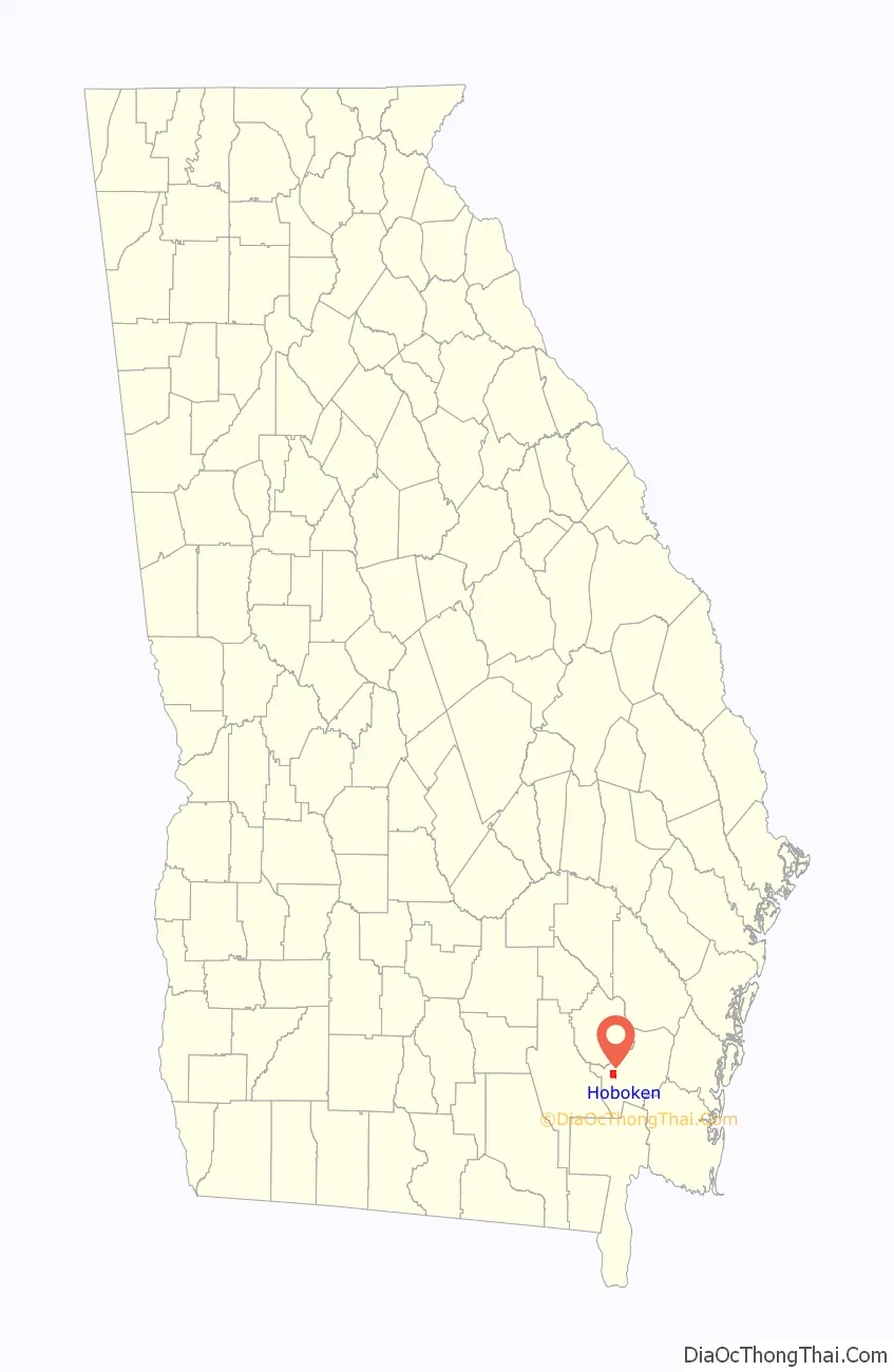
Hoboken location map. Where is Hoboken city?

History
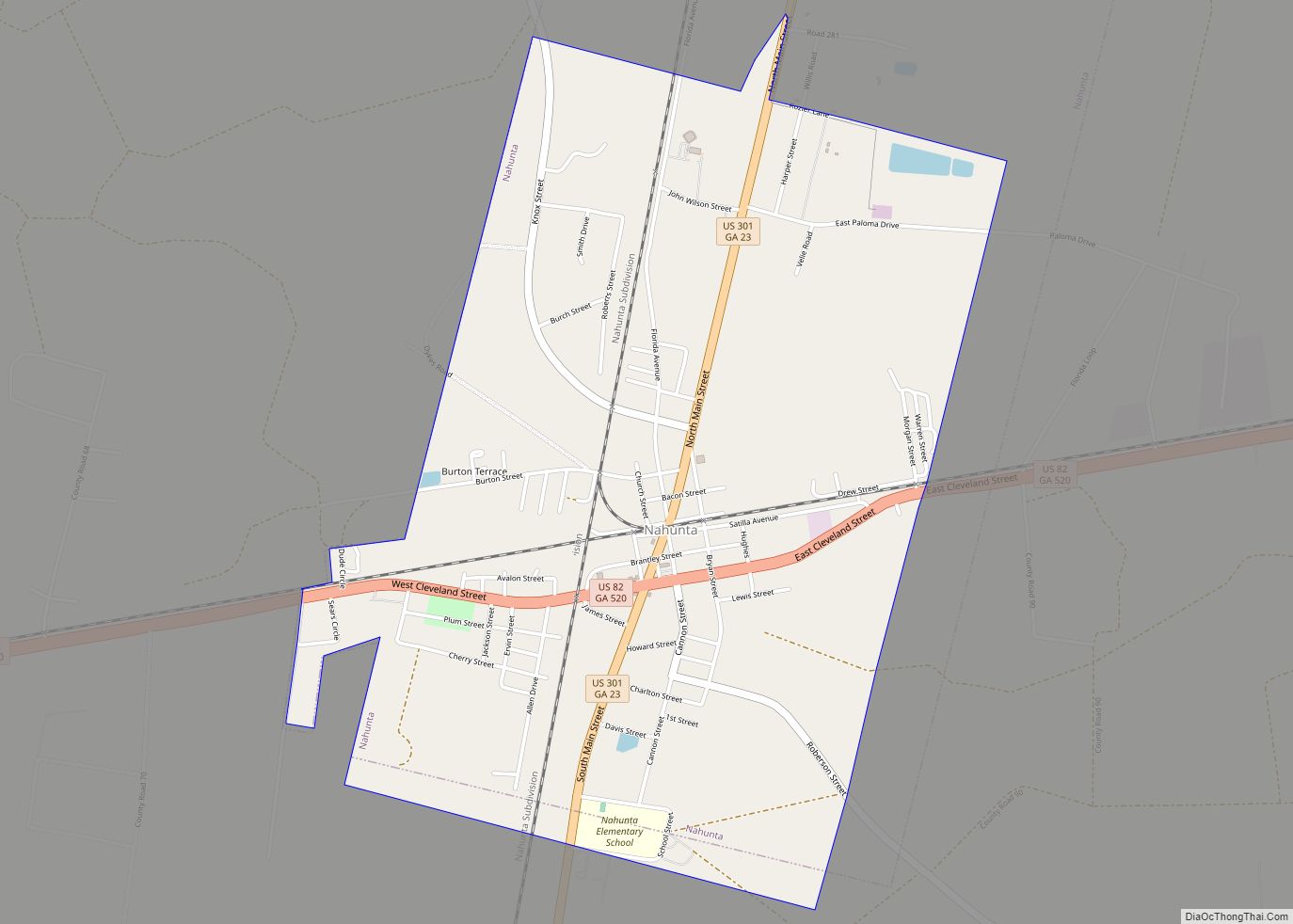
The city’s name most likely is a transfer from Hoboken, New Jersey. The Georgia General Assembly incorporated the place as the City of Hoboken in 1920. Hoboken served as the first county seat of Brantley County from the county’s formation in 1920 until 1923 when the seat was transferred to Nahunta.
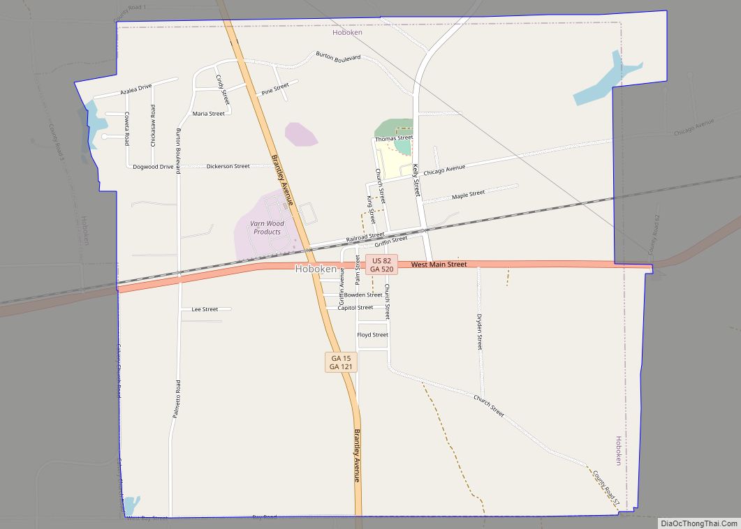
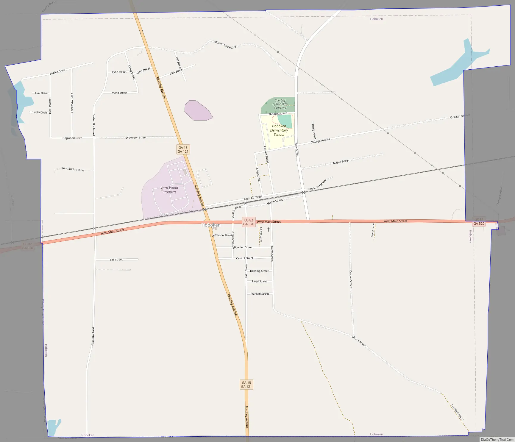
Hoboken Road Map
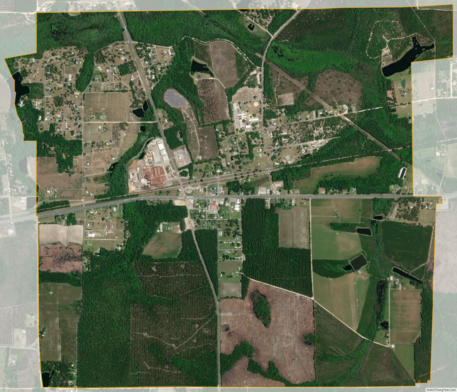
Hoboken city Satellite Map
Geography
Hoboken is located in western Brantley County at 31°10′58″N 82°8′2″W / 31.18278°N 82.13389°W / 31.18278; -82.13389 (31.182720, -82.133891). U.S. Route 82 (called Main Street) passes through the city, leading east 9 miles (14 km) to Nahunta, the county seat, and west 14 miles (23 km) to Waycross.
According to the United States Census Bureau, Hoboken has a total area of 3.4 square miles (8.9 km), of which 0.015 square miles (0.04 km), or 0.48%, is water.
See also
Map of Georgia State and its subdivision:- Appling
- Atkinson
- Bacon
- Baker
- Baldwin
- Banks
- Barrow
- Bartow
- Ben Hill
- Berrien
- Bibb
- Bleckley
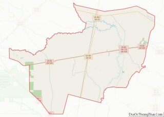
- Brantley
- Brooks
- Bryan
- Bulloch
- Burke
- Butts
- Calhoun
- Camden
- Candler
- Carroll
- Catoosa
- Charlton
- Chatham
- Chattahoochee
- Chattooga
- Cherokee
- Clarke
- Clay
- Clayton
- Clinch
- Cobb
- Coffee
- Colquitt
- Columbia
- Cook
- Coweta
- Crawford
- Crisp
- Dade
- Dawson
- Decatur
- DeKalb
- Dodge
- Dooly
- Dougherty
- Douglas
- Early
- Echols
- Effingham
- Elbert
- Emanuel
- Evans
- Fannin
- Fayette
- Floyd
- Forsyth
- Franklin
- Fulton
- Gilmer
- Glascock
- Glynn
- Gordon
- Grady
- Greene
- Gwinnett
- Habersham
- Hall
- Hancock
- Haralson
- Harris
- Hart
- Heard
- Henry
- Houston
- Irwin
- Jackson
- Jasper
- Jeff Davis
- Jefferson
- Jenkins
- Johnson
- Jones
- Lamar
- Lanier
- Laurens
- Lee
- Liberty
- Lincoln
- Long
- Lowndes
- Lumpkin
- Macon
- Madison
- Marion
- McDuffie
- McIntosh
- Meriwether
- Miller
- Mitchell
- Monroe
- Montgomery
- Morgan
- Murray
- Muscogee
- Newton
- Oconee
- Oglethorpe
- Paulding
- Peach
- Pickens
- Pierce
- Pike
- Polk
- Pulaski
- Putnam
- Quitman
- Rabun
- Randolph
- Richmond
- Rockdale
- Schley
- Screven
- Seminole
- Spalding
- Stephens
- Stewart
- Sumter
- Talbot
- Taliaferro
- Tattnall
- Taylor
- Telfair
- Terrell
- Thomas
- Tift
- Toombs
- Towns
- Treutlen
- Troup
- Turner
- Twiggs
- Union
- Upson
- Walker
- Walton
- Ware
- Warren
- Washington
- Wayne
- Webster
- Wheeler
- White
- Whitfield
- Wilcox
- Wilkes
- Wilkinson
- Worth
- Alabama
- Alaska
- Arizona
- Arkansas
- California
- Colorado
- Connecticut
- Delaware
- District of Columbia
- Florida
- Georgia
- Hawaii
- Idaho
- Illinois
- Indiana
- Iowa
- Kansas
- Kentucky
- Louisiana
- Maine
- Maryland
- Massachusetts
- Michigan
- Minnesota
- Mississippi
- Missouri
- Montana
- Nebraska
- Nevada
- New Hampshire
- New Jersey
- New Mexico
- New York
- North Carolina
- North Dakota
- Ohio
- Oklahoma
- Oregon
- Pennsylvania
- Rhode Island
- South Carolina
- South Dakota
- Tennessee
- Texas
- Utah
- Vermont
- Virginia
- Washington
- West Virginia
- Wisconsin
- Wyoming