Holly Springs is a city in Cherokee County, Georgia, United States. The population was 9,189 as of the 2010 census, up from 3,195 in 2000.
| Name: | Holly Springs city |
|---|---|
| LSAD Code: | 25 |
| LSAD Description: | city (suffix) |
| State: | Georgia |
| County: | Cherokee County |
| Elevation: | 1,109 ft (338 m) |
| Total Area: | 7.29 sq mi (18.88 km²) |
| Land Area: | 7.19 sq mi (18.62 km²) |
| Water Area: | 0.10 sq mi (0.26 km²) |
| Total Population: | 16,213 |
| Population Density: | 2,254.94/sq mi (870.68/km²) |
| ZIP code: | 30142 |
| Area code: | 770/678/470 |
| FIPS code: | 1339524 |
| GNISfeature ID: | 0315567 |
| Website: | www.hollyspringsga.us |
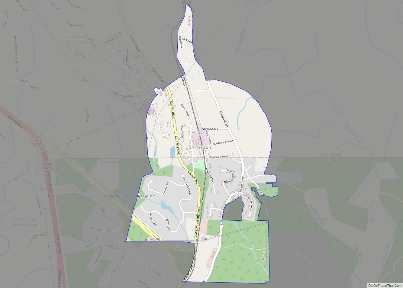
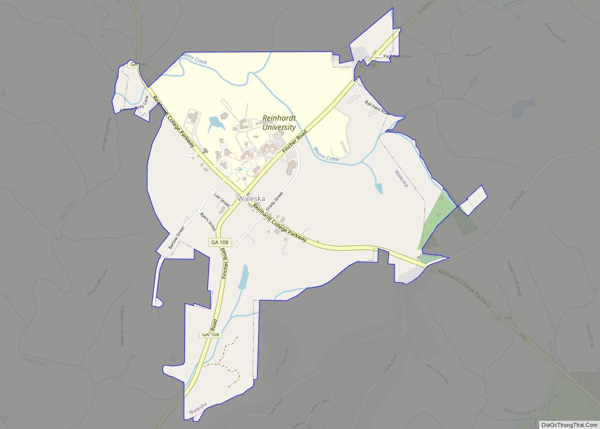
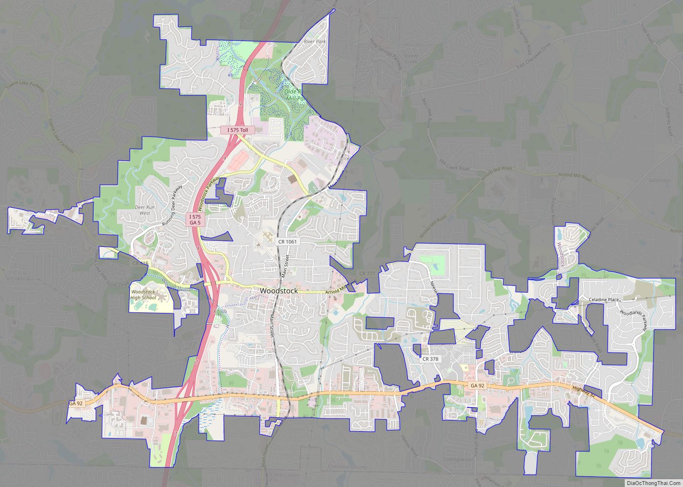
Online Interactive Map
Click on ![]() to view map in "full screen" mode.
to view map in "full screen" mode.
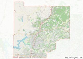
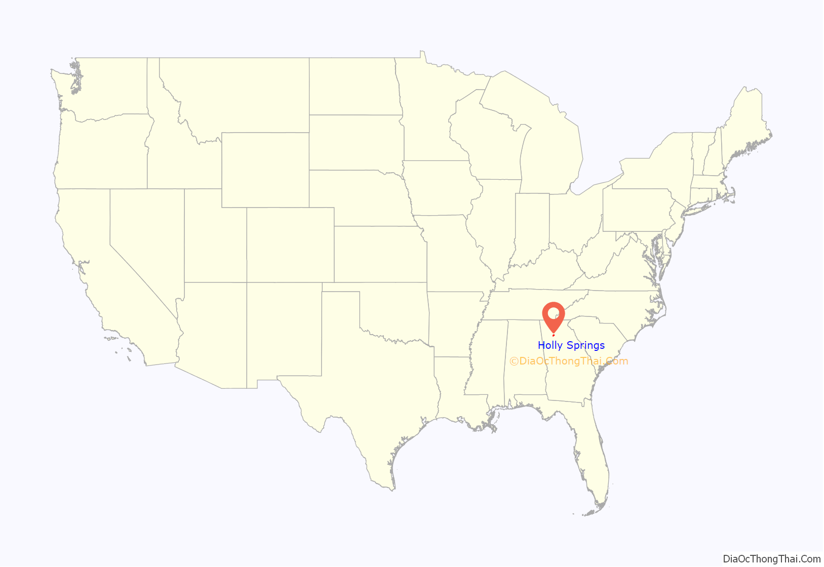
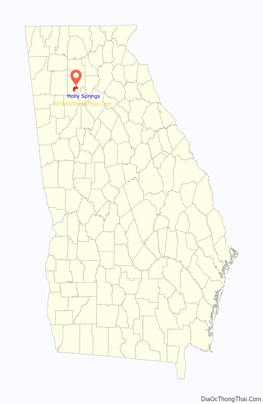
Holly Springs location map. Where is Holly Springs city?
History
The Georgia General Assembly incorporated the place in 1906 as the Town of Holly Springs. According to tradition, the city was named from a stand of holly trees near a spring at the original town site.
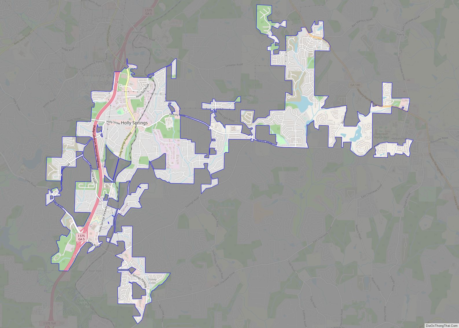
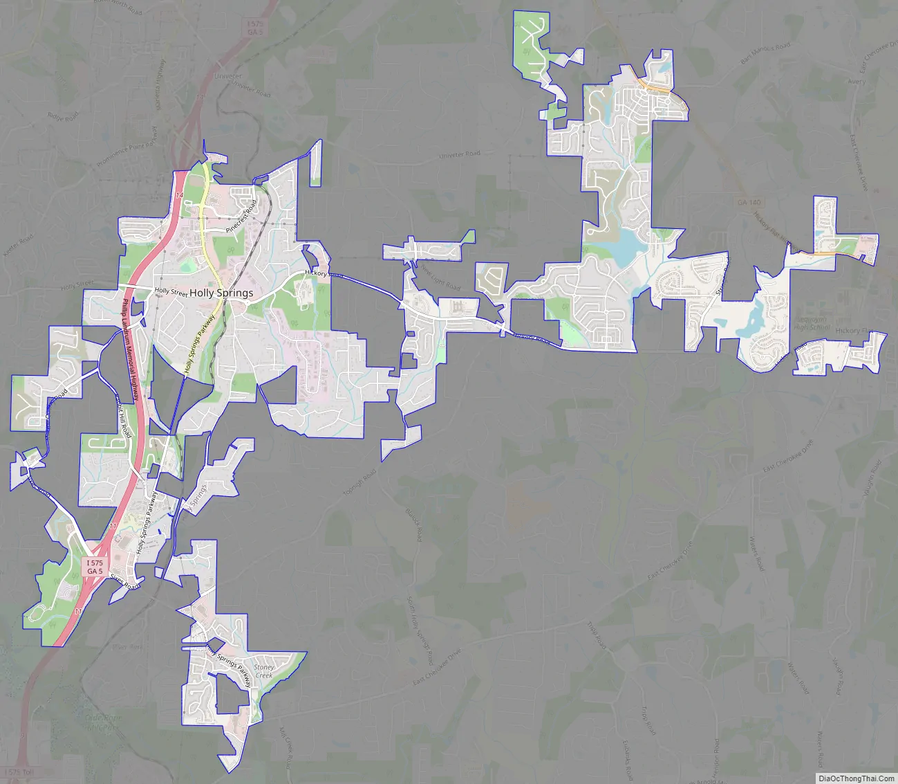
Holly Springs Road Map
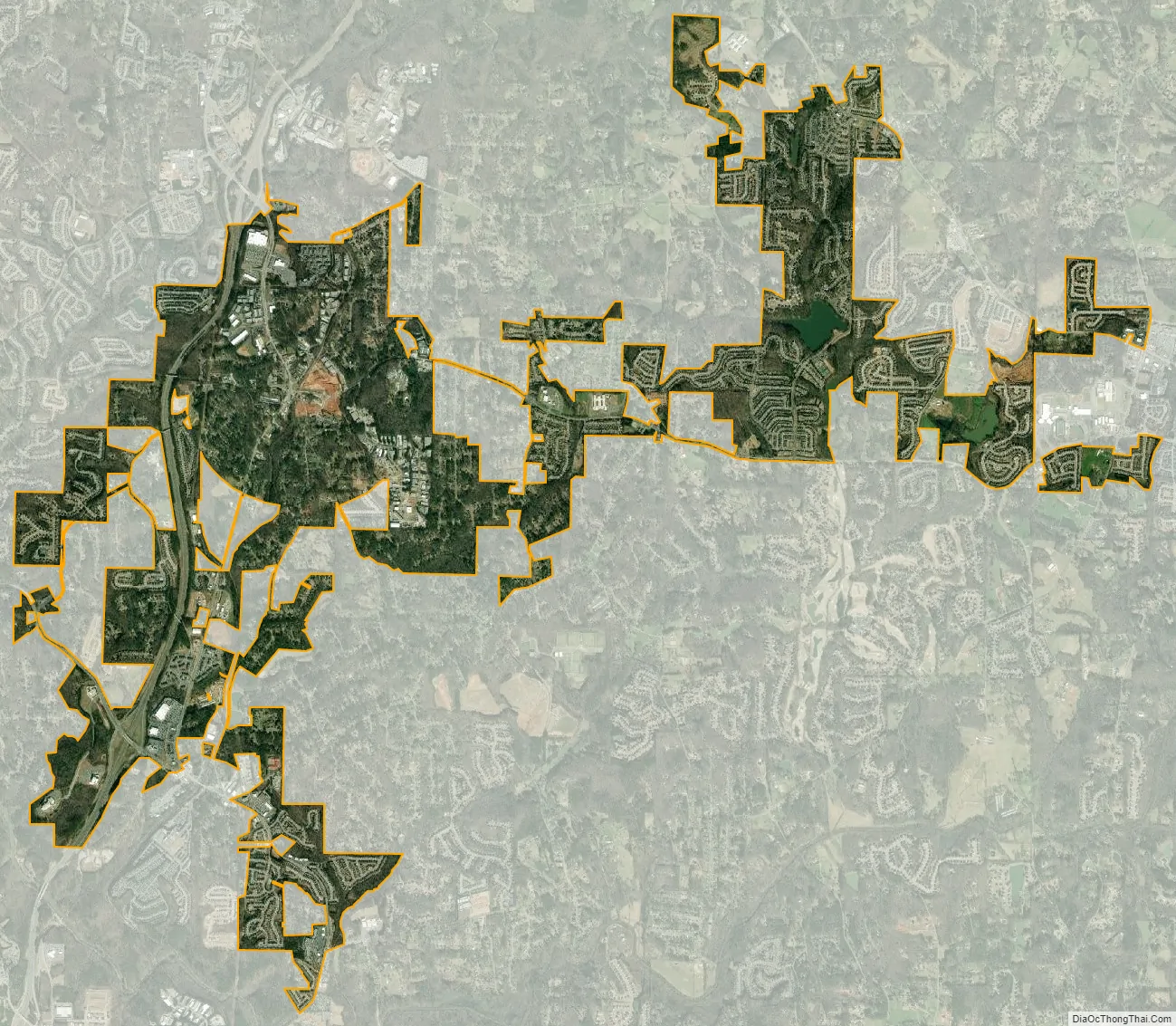
Holly Springs city Satellite Map
Geography
Holly Springs is located south of the center of Cherokee County at 34°9′59″N 84°30′4″W / 34.16639°N 84.50111°W / 34.16639; -84.50111 (34.166478, -84.501016). It is bordered by Canton, the county seat, to the north, and by Woodstock to the south. Interstate 575 passes through the city, with access from exits 11 and 14. Downtown Atlanta is 36 miles (58 km) to the south.
According to the United States Census Bureau, Holly Springs has a total area of 6.7 square miles (17.3 km), of which 6.6 square miles (17.0 km) is land and 0.12 square miles (0.3 km), or 1.57%, is water.
Neighboring unincorporated communities
- Hickory Flat (east)
- Toonigh (southeast)
- Lebanon (south)
- Sixes (west) – home to Fort Sixes, an 1830s Indian removal fort
See also
Map of Georgia State and its subdivision:- Appling
- Atkinson
- Bacon
- Baker
- Baldwin
- Banks
- Barrow
- Bartow
- Ben Hill
- Berrien
- Bibb
- Bleckley
- Brantley
- Brooks
- Bryan
- Bulloch
- Burke
- Butts
- Calhoun
- Camden
- Candler
- Carroll
- Catoosa
- Charlton
- Chatham
- Chattahoochee
- Chattooga
- Cherokee
- Clarke
- Clay
- Clayton
- Clinch
- Cobb
- Coffee
- Colquitt
- Columbia
- Cook
- Coweta
- Crawford
- Crisp
- Dade
- Dawson
- Decatur
- DeKalb
- Dodge
- Dooly
- Dougherty
- Douglas
- Early
- Echols
- Effingham
- Elbert
- Emanuel
- Evans
- Fannin
- Fayette
- Floyd
- Forsyth
- Franklin
- Fulton
- Gilmer
- Glascock
- Glynn
- Gordon
- Grady
- Greene
- Gwinnett
- Habersham
- Hall
- Hancock
- Haralson
- Harris
- Hart
- Heard
- Henry
- Houston
- Irwin
- Jackson
- Jasper
- Jeff Davis
- Jefferson
- Jenkins
- Johnson
- Jones
- Lamar
- Lanier
- Laurens
- Lee
- Liberty
- Lincoln
- Long
- Lowndes
- Lumpkin
- Macon
- Madison
- Marion
- McDuffie
- McIntosh
- Meriwether
- Miller
- Mitchell
- Monroe
- Montgomery
- Morgan
- Murray
- Muscogee
- Newton
- Oconee
- Oglethorpe
- Paulding
- Peach
- Pickens
- Pierce
- Pike
- Polk
- Pulaski
- Putnam
- Quitman
- Rabun
- Randolph
- Richmond
- Rockdale
- Schley
- Screven
- Seminole
- Spalding
- Stephens
- Stewart
- Sumter
- Talbot
- Taliaferro
- Tattnall
- Taylor
- Telfair
- Terrell
- Thomas
- Tift
- Toombs
- Towns
- Treutlen
- Troup
- Turner
- Twiggs
- Union
- Upson
- Walker
- Walton
- Ware
- Warren
- Washington
- Wayne
- Webster
- Wheeler
- White
- Whitfield
- Wilcox
- Wilkes
- Wilkinson
- Worth
- Alabama
- Alaska
- Arizona
- Arkansas
- California
- Colorado
- Connecticut
- Delaware
- District of Columbia
- Florida
- Georgia
- Hawaii
- Idaho
- Illinois
- Indiana
- Iowa
- Kansas
- Kentucky
- Louisiana
- Maine
- Maryland
- Massachusetts
- Michigan
- Minnesota
- Mississippi
- Missouri
- Montana
- Nebraska
- Nevada
- New Hampshire
- New Jersey
- New Mexico
- New York
- North Carolina
- North Dakota
- Ohio
- Oklahoma
- Oregon
- Pennsylvania
- Rhode Island
- South Carolina
- South Dakota
- Tennessee
- Texas
- Utah
- Vermont
- Virginia
- Washington
- West Virginia
- Wisconsin
- Wyoming