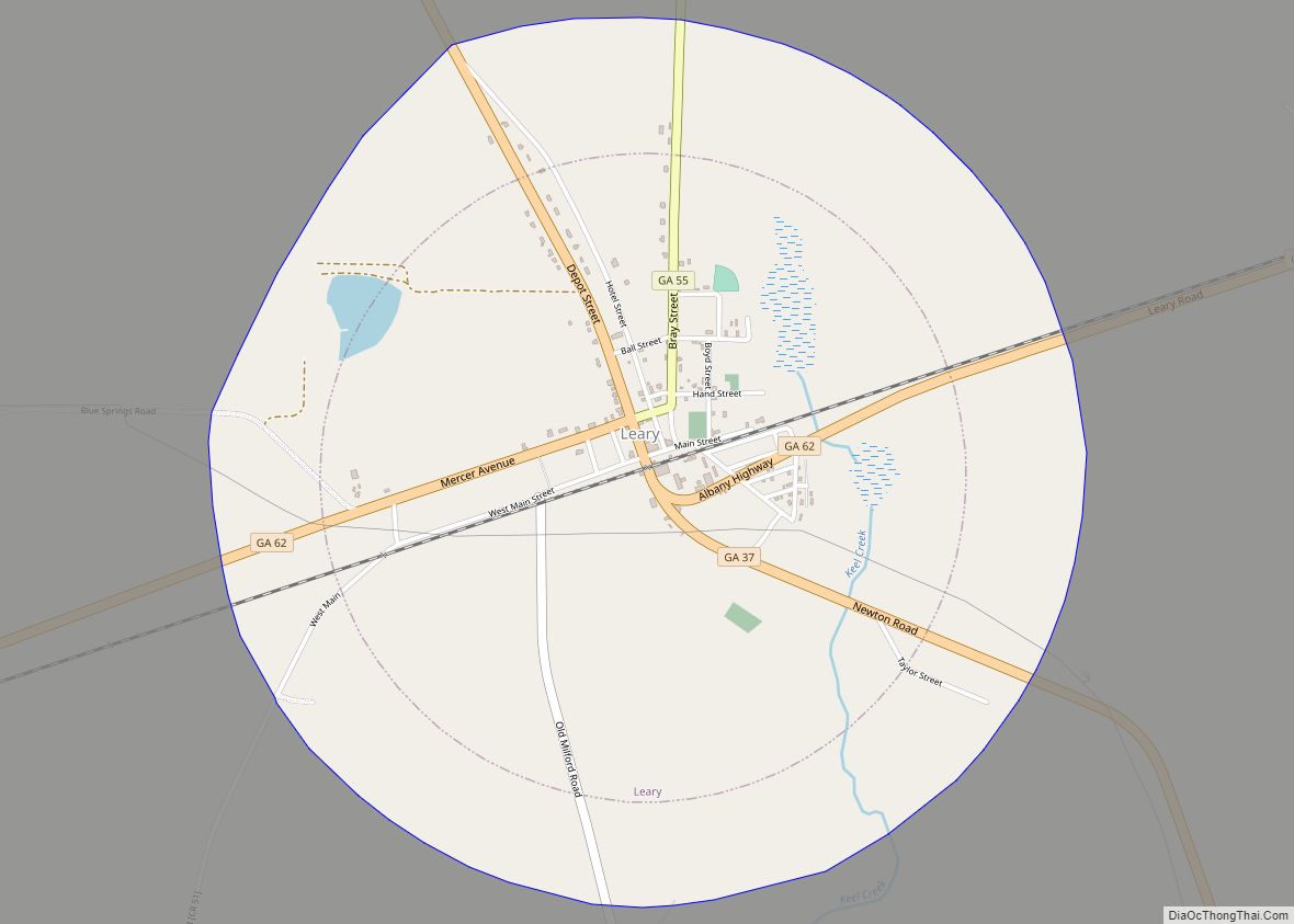
Leary is a city in Calhoun County, Georgia, United States. The population was 618 at the 2010 census. Jimmy Carter (US President 1977–1981) reported seeing an unidentified flying object while at Leary, Georgia in 1969. Leary city overview: Name: Leary city LSAD Code: 25 LSAD Description: city (suffix) State: Georgia County: Calhoun County Elevation: 207 ft ... Read more
Georgia Cities and Places
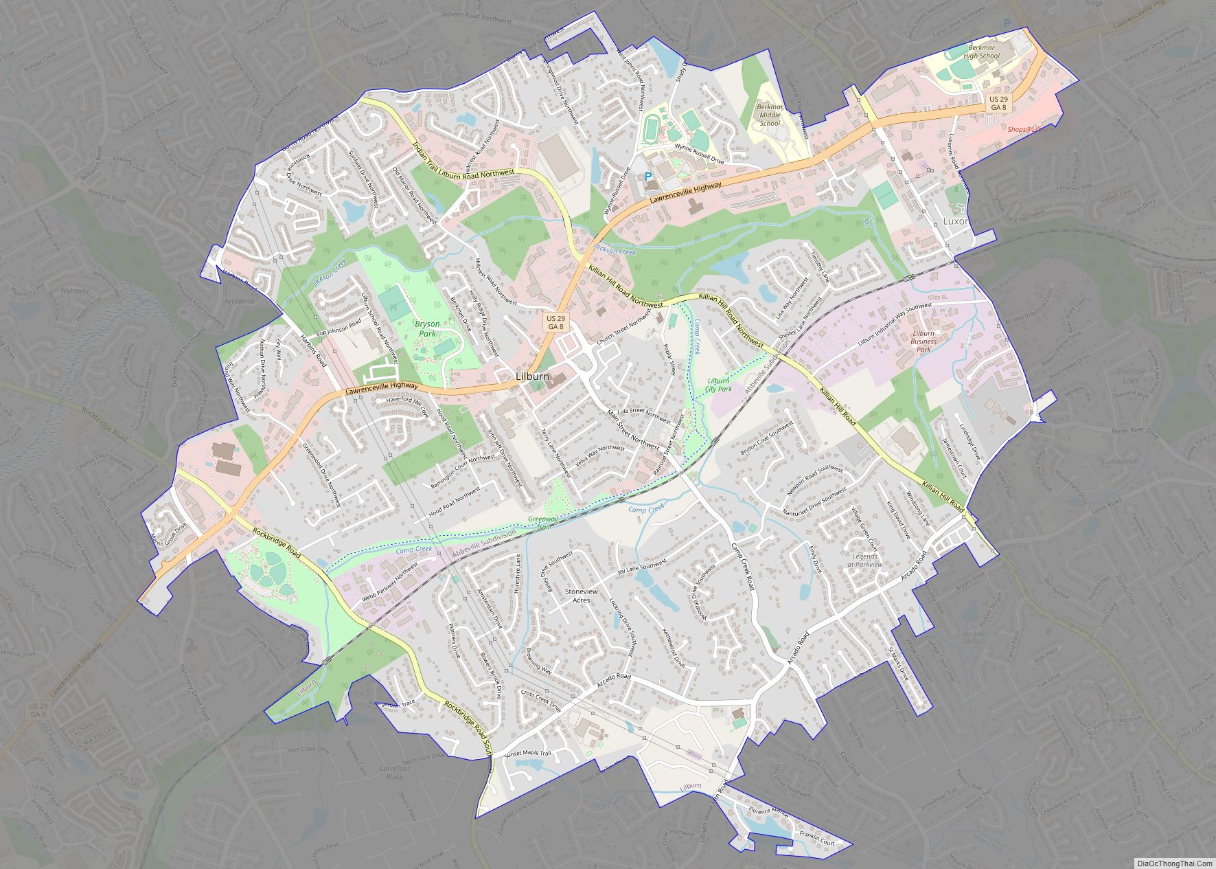
Lilburn is a city in Gwinnett County, Georgia, United States. The population was 14,502 at the 2020 census. The estimated population was 12,810 in 2019. It is a part of the Atlanta metropolitan area. Lilburn city overview: Name: Lilburn city LSAD Code: 25 LSAD Description: city (suffix) State: Georgia County: Gwinnett County Elevation: 951 ft (290 m) ... Read more
The city of Lexington is the county seat of Oglethorpe County, Georgia, United States. The population was 239 at the 2000 census. Lexington is home to Shaking Rock Park. Lexington city overview: Name: Lexington city LSAD Code: 25 LSAD Description: city (suffix) State: Georgia County: Oglethorpe County Elevation: 702 ft (214 m) Total Area: 0.55 sq mi (1.42 km²) Land ... Read more
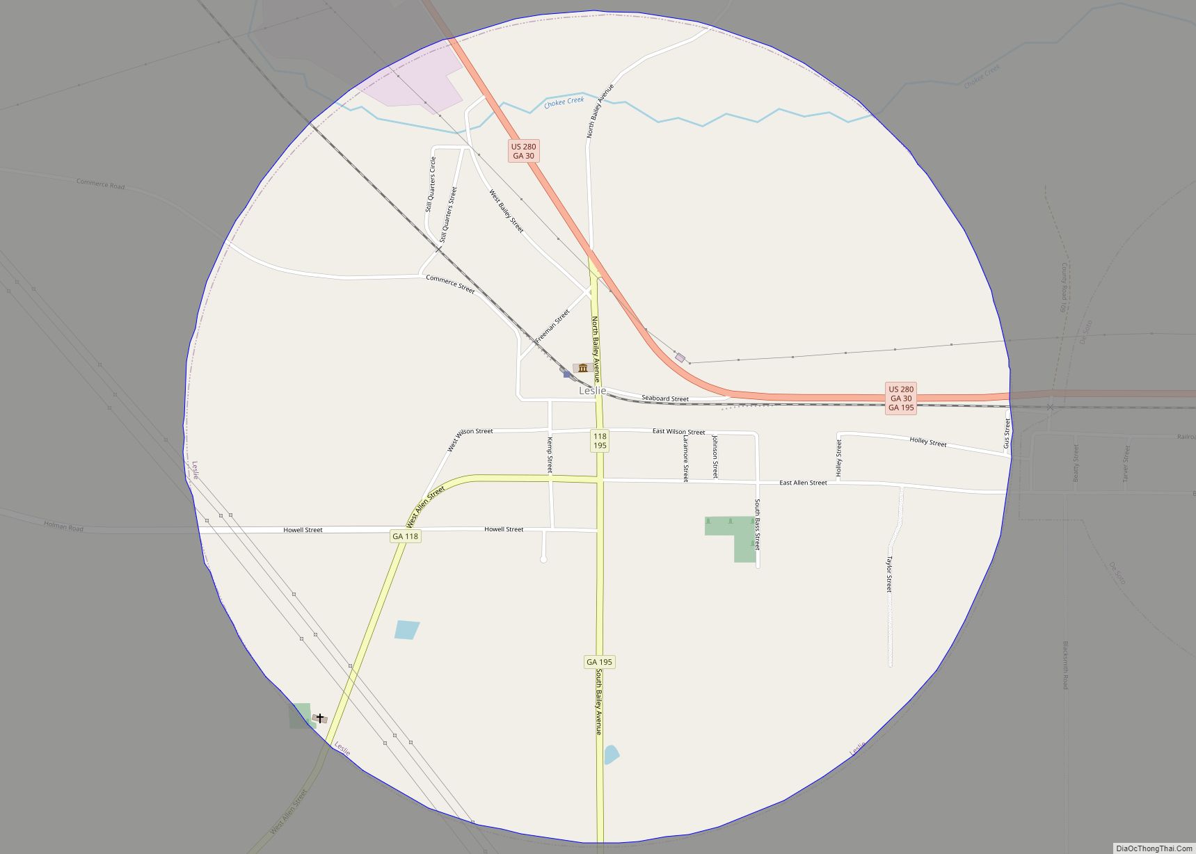
Leslie is a city in Sumter County, Georgia, United States. The population was 409 at the 2010 census. It is part of the Americus Micropolitan Statistical Area. Leslie city overview: Name: Leslie city LSAD Code: 25 LSAD Description: city (suffix) State: Georgia County: Sumter County Elevation: 338 ft (103 m) Total Area: 1.77 sq mi (4.59 km²) Land Area: 1.77 sq mi ... Read more
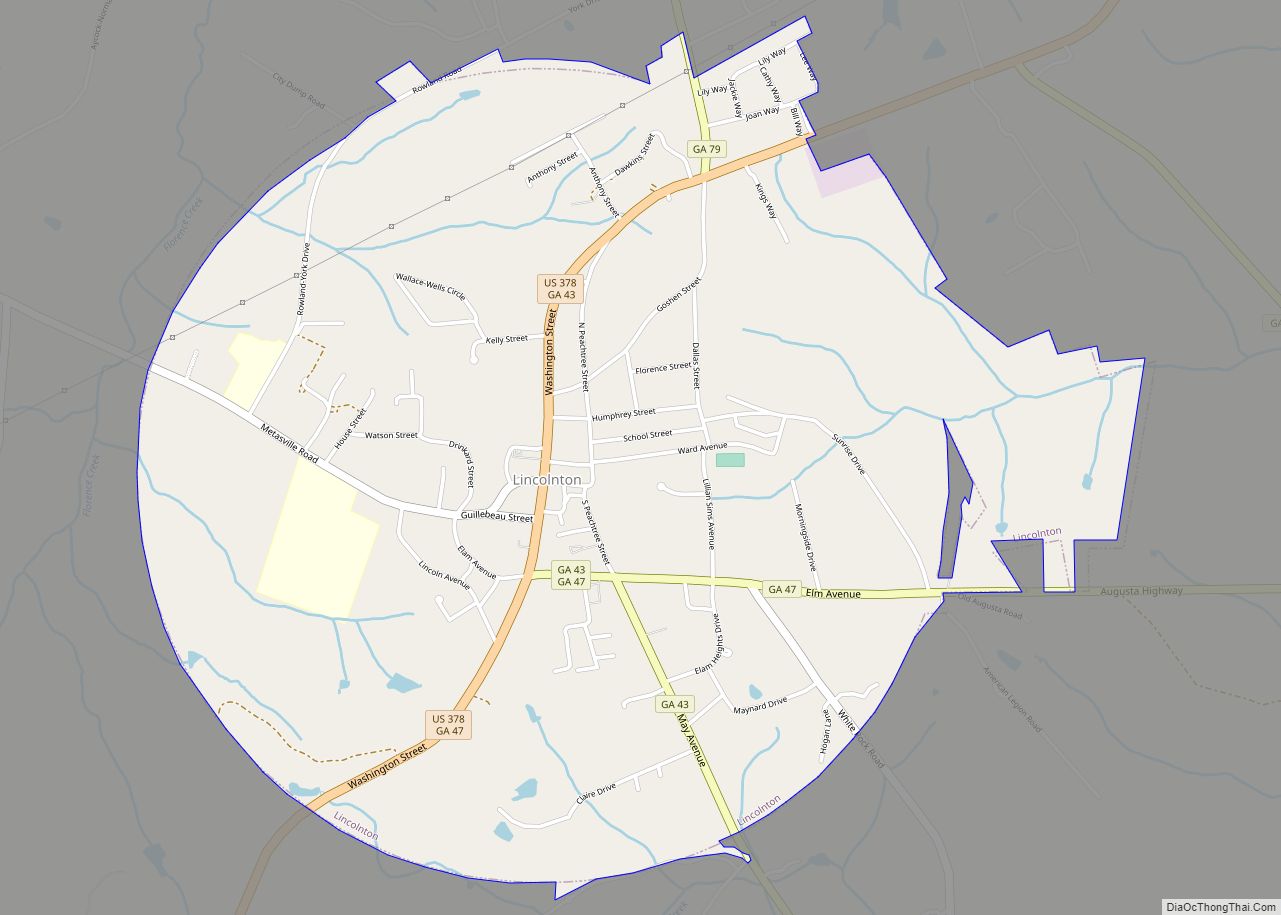
The city of Lincolnton is the county seat of Lincoln County, Georgia, United States. The population was 1,480 at the 2020 census. It contains numerous houses and historic districts listed on the National Register of Historic Places. Both the city and the county were named for General Benjamin Lincoln, who served in the Continental Army ... Read more
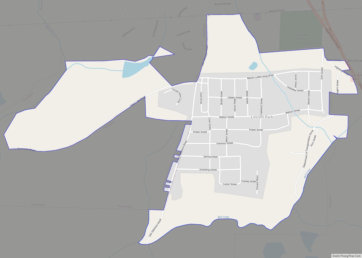
Lincoln Park is a census-designated place (CDP) in Upson County, Georgia, United States. The population was 1,122 at the 2000 census. Lincoln Park CDP overview: Name: Lincoln Park CDP LSAD Code: 57 LSAD Description: CDP (suffix) State: Georgia County: Upson County Elevation: 715 ft (218 m) Total Area: 0.86 sq mi (2.24 km²) Land Area: 0.86 sq mi (2.22 km²) Water Area: 0.01 sq mi ... Read more
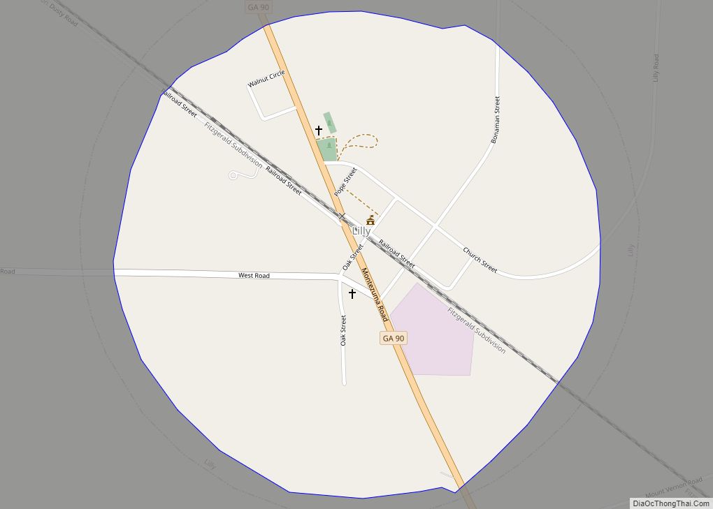
Lilly is a city in Dooly County, Georgia, United States. The population was 213 at the 2010 census. Lilly was originally named “Midway”, as it was the halfway point between Cordele and Montezuma. The name was changed upon the discovery that there already was another Midway in the state. The name “Lilly” is a reference ... Read more
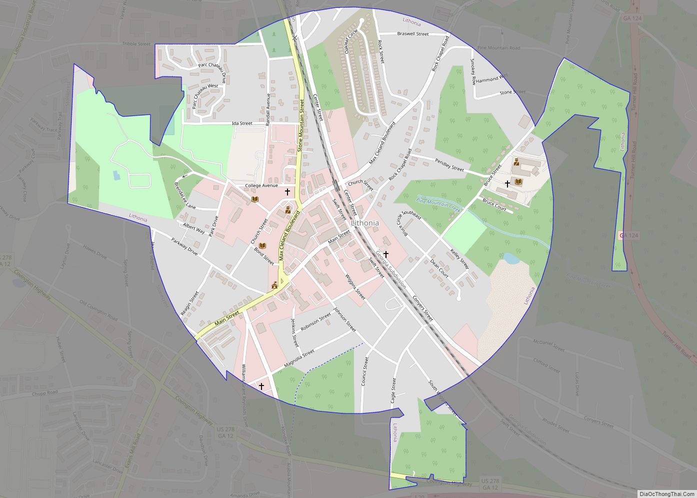
Lithonia (/lɪˈθoʊniə/, lith-OH-nee-ə; AAVE: /laɪ-/) is a city in eastern DeKalb County, Georgia, United States. The city’s population was 2,662 at the 2020 census. Lithonia is in the Atlanta metropolitan area. “Lithonia” means “city/town of stone”. Lithonia is in the heart of the Georgian granite-quarrying and viewing region, hence the name of the town, from ... Read more
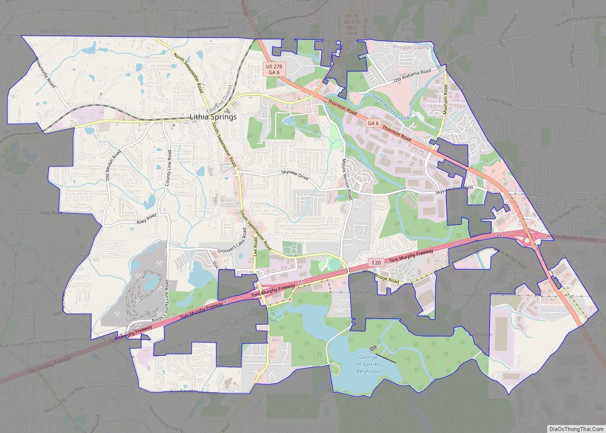
Lithia Springs (/ˈlɪθiːə/) is a census-designated place and unincorporated area, formerly incorporated as a city, located in northeastern Douglas County, Georgia, United States. As of the 2020 census, the community had a population of 16,644. The area is named for its historic lithia mineral water springs. Incorporated in 1882, Lithia Springs was dissolved the first ... Read more
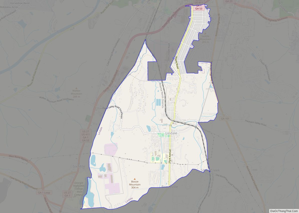
Lindale is an unincorporated community and census-designated place (CDP) in Floyd County, Georgia, United States. It is part of the Rome, Georgia Metropolitan Statistical Area. The population was 4,191 at the 2010 census. Lindale CDP overview: Name: Lindale CDP LSAD Code: 57 LSAD Description: CDP (suffix) State: Georgia County: Floyd County Elevation: 666 ft (203 m) Total ... Read more
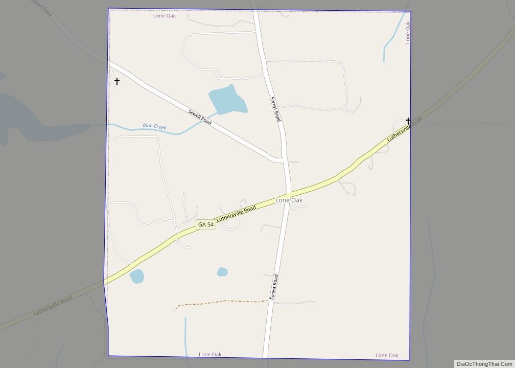
Lone Oak is a town in Meriwether County, Georgia, United States. The population was 114 at the 2020 census. Lone Oak town overview: Name: Lone Oak town LSAD Code: 43 LSAD Description: town (suffix) State: Georgia County: Meriwether County Elevation: 856 ft (261 m) Total Area: 0.63 sq mi (1.62 km²) Land Area: 0.63 sq mi (1.62 km²) Water Area: 0.00 sq mi (0.00 km²) Total ... Read more
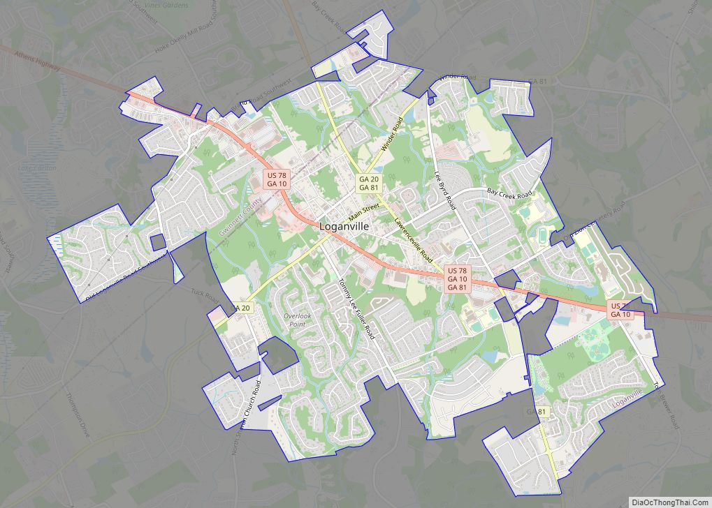
Loganville is a city in Walton and Gwinnett counties, Georgia, United States. The population was 10,458 at the 2010 census. Loganville is located about 36 mi (58 km) east of Atlanta and is part of the Atlanta metropolitan area. Loganville city overview: Name: Loganville city LSAD Code: 25 LSAD Description: city (suffix) State: Georgia County: Gwinnett County, ... Read more
