Loganville is a city in Walton and Gwinnett counties, Georgia, United States. The population was 10,458 at the 2010 census. Loganville is located about 36 mi (58 km) east of Atlanta and is part of the Atlanta metropolitan area.
| Name: | Loganville city |
|---|---|
| LSAD Code: | 25 |
| LSAD Description: | city (suffix) |
| State: | Georgia |
| County: | Gwinnett County, Walton County |
| Elevation: | 978 ft (298 m) |
| Total Area: | 7.45 sq mi (19.29 km²) |
| Land Area: | 7.41 sq mi (19.18 km²) |
| Water Area: | 0.04 sq mi (0.12 km²) |
| Total Population: | 14,127 |
| Population Density: | 1,907.77/sq mi (736.63/km²) |
| ZIP code: | 30052 |
| Area code: | 770 |
| FIPS code: | 1347196 |
| GNISfeature ID: | 2404948 |
| Website: | www.loganville-ga.gov |
Online Interactive Map
Click on ![]() to view map in "full screen" mode.
to view map in "full screen" mode.
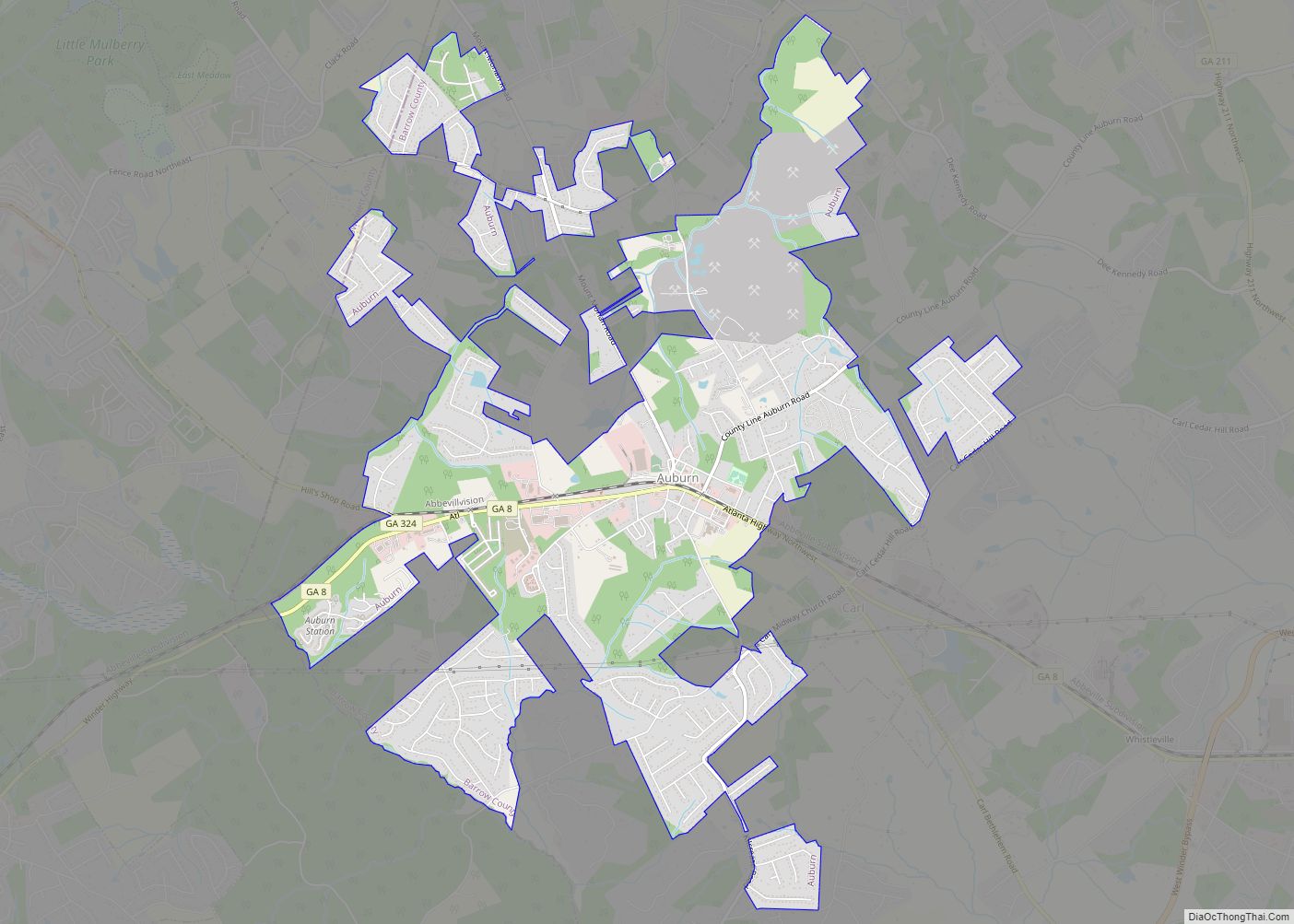
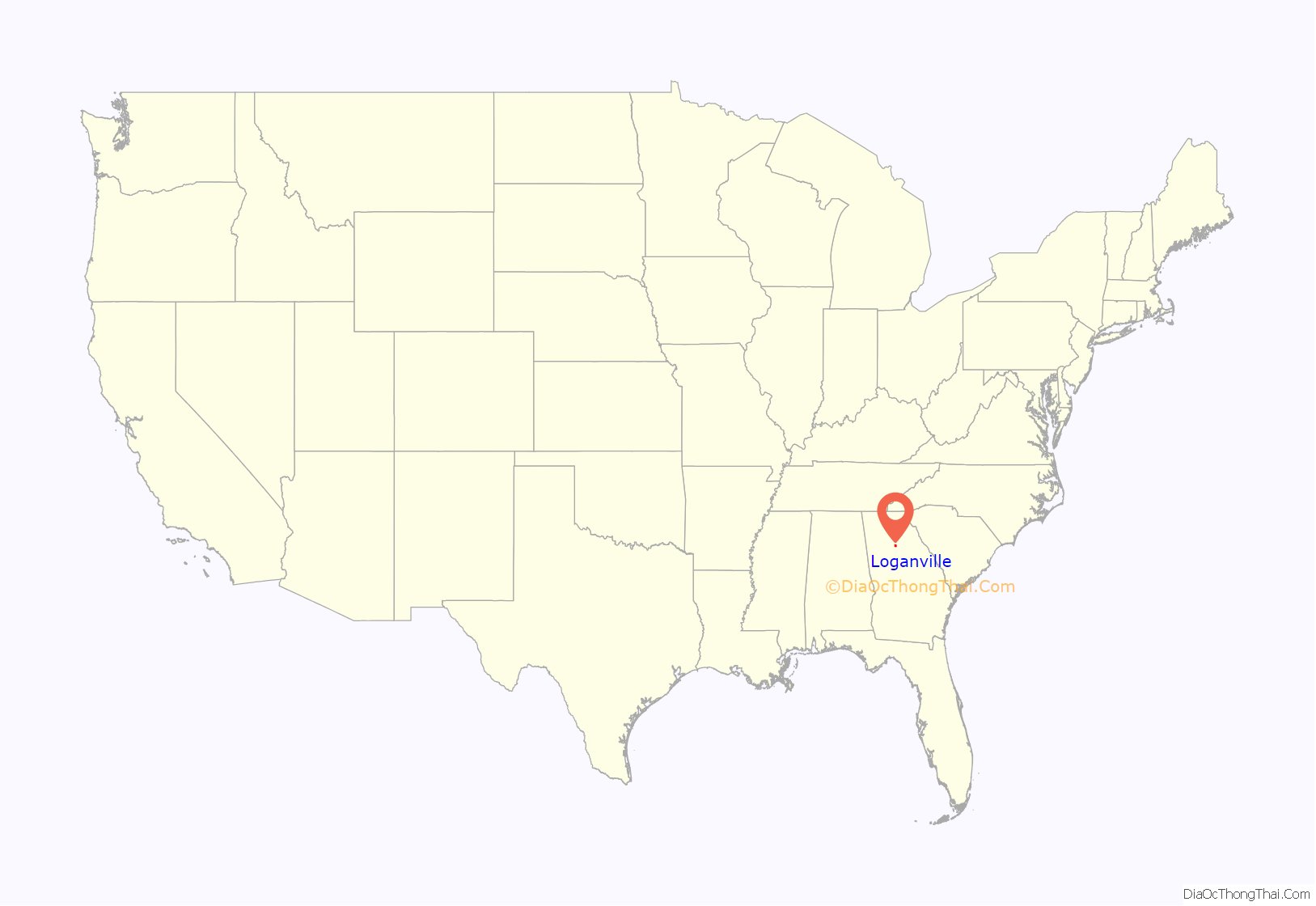
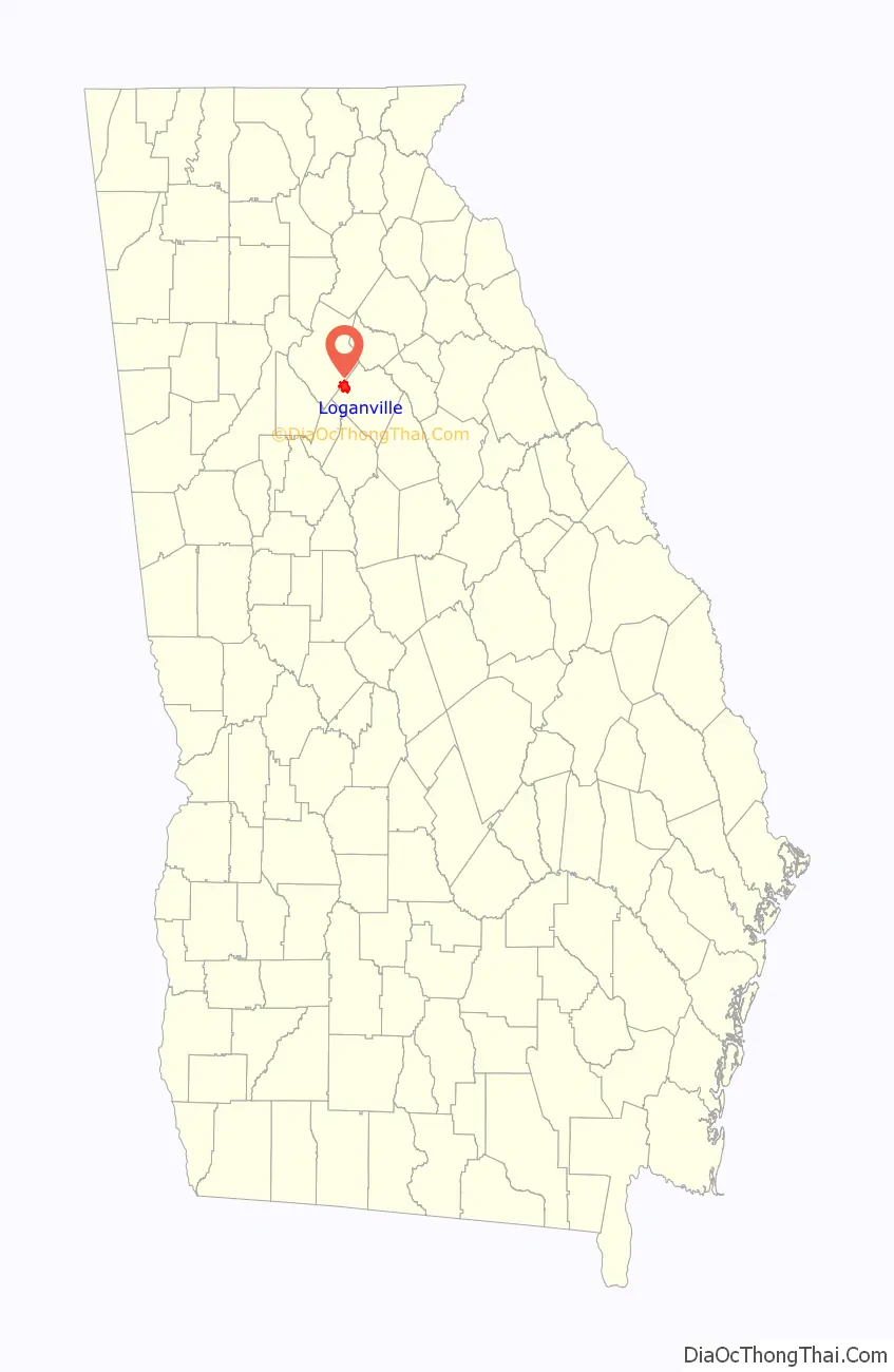
Loganville location map. Where is Loganville city?
History
An early variant name was “Buncombe”. It was then renamed after James Harvie Logan, an early settler.
The Georgia General Assembly incorporated Loganville as a town in 1887.
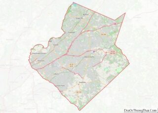
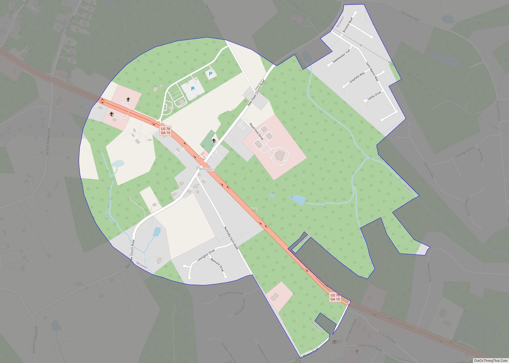
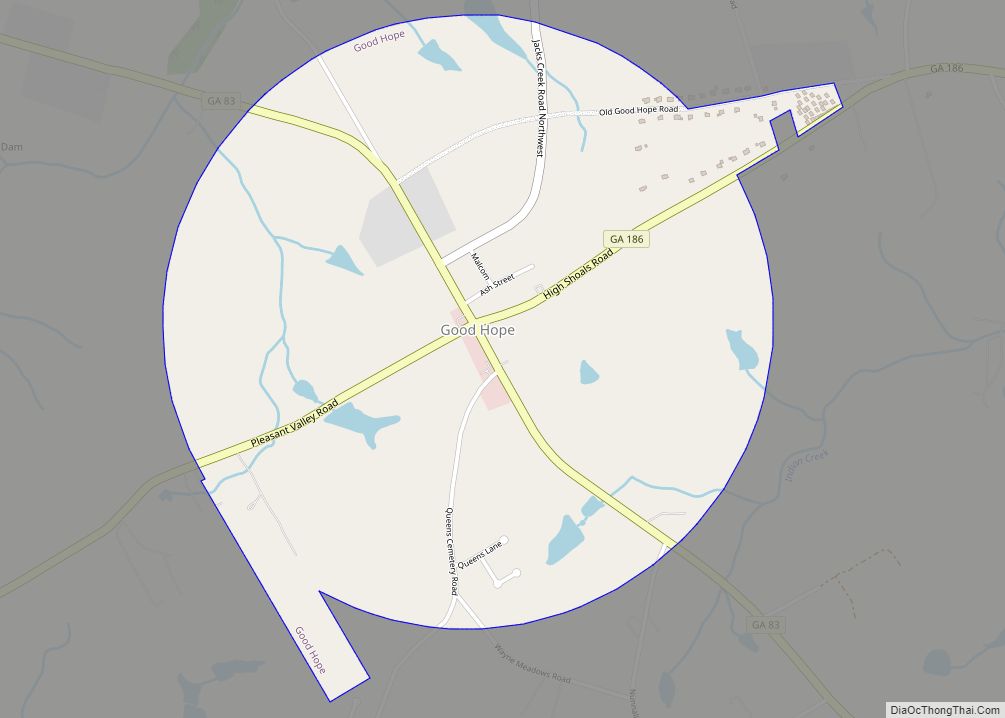
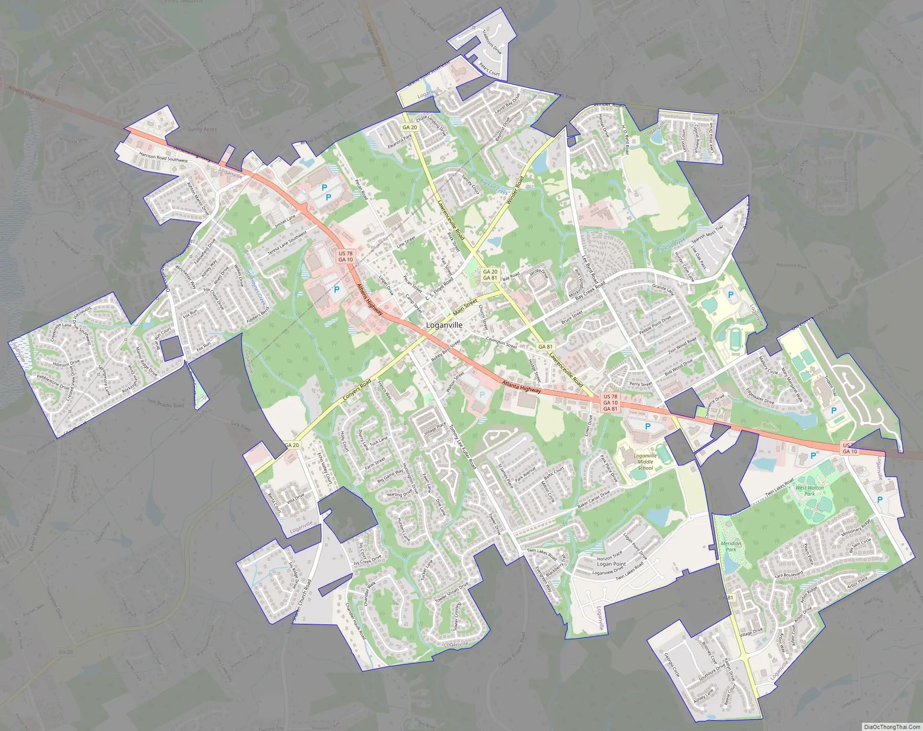
Loganville Road Map
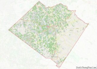
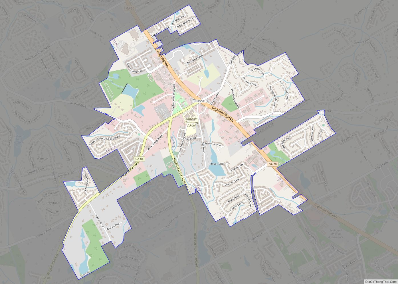
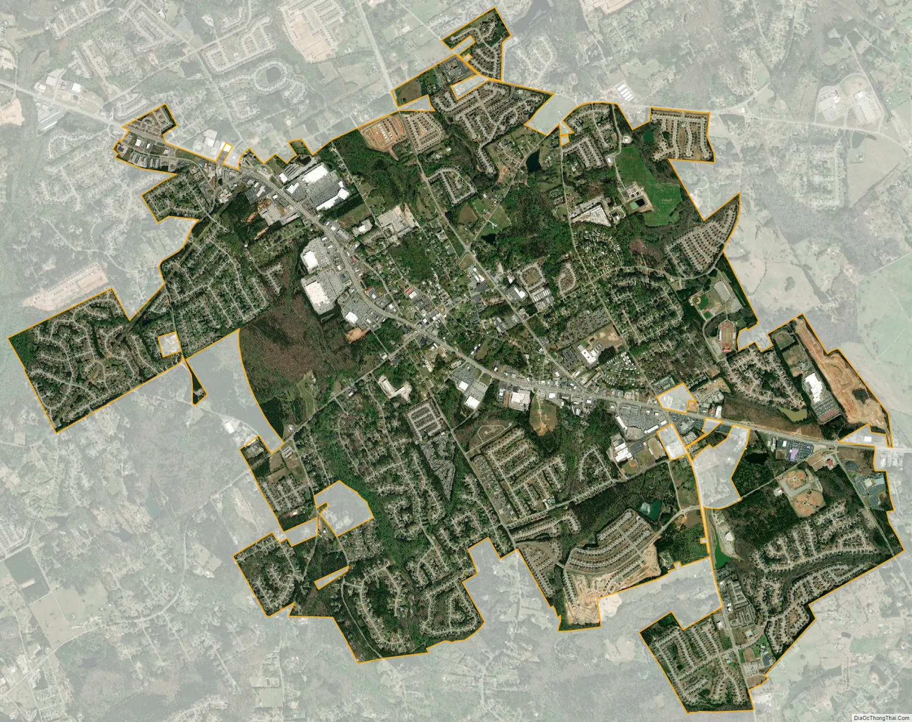
Loganville city Satellite Map
Geography
Loganville is in western Walton County, with the city limits extending west into southeastern Gwinnett County. U.S. Route 78 (Atlanta Highway) passes through the center of town, leading east 5 miles (8.0 km) to Monroe, the Walton County seat, and west 32 miles (51 km) to downtown Atlanta. Georgia State Route 20 leads northwest from Loganville 10 miles (16 km) to Lawrenceville, the Gwinnett County seat, and southwest 15 miles (24 km) to Conyers. Georgia State Route 81 leads northeast 16 miles (26 km) to Winder and south 18 miles (29 km) to Covington.
According to the United States Census Bureau, Loganville has a total area of 7.4 square miles (19.1 km), of which 7.3 square miles (19.0 km) is land and 0.04 square miles (0.1 km), or 0.60%, is water. The population was 10,458 at the 2010 census. It is about 36 mi (58 km) from downtown Atlanta and is part of the Atlanta metropolitan area.
See also
Map of Georgia State and its subdivision:- Appling
- Atkinson
- Bacon
- Baker
- Baldwin
- Banks
- Barrow
- Bartow
- Ben Hill
- Berrien
- Bibb
- Bleckley
- Brantley
- Brooks
- Bryan
- Bulloch
- Burke
- Butts
- Calhoun
- Camden
- Candler
- Carroll
- Catoosa
- Charlton
- Chatham
- Chattahoochee
- Chattooga
- Cherokee
- Clarke
- Clay
- Clayton
- Clinch
- Cobb
- Coffee
- Colquitt
- Columbia
- Cook
- Coweta
- Crawford
- Crisp
- Dade
- Dawson
- Decatur
- DeKalb
- Dodge
- Dooly
- Dougherty
- Douglas
- Early
- Echols
- Effingham
- Elbert
- Emanuel
- Evans
- Fannin
- Fayette
- Floyd
- Forsyth
- Franklin
- Fulton
- Gilmer
- Glascock
- Glynn
- Gordon
- Grady
- Greene
- Gwinnett
- Habersham
- Hall
- Hancock
- Haralson
- Harris
- Hart
- Heard
- Henry
- Houston
- Irwin
- Jackson
- Jasper
- Jeff Davis
- Jefferson
- Jenkins
- Johnson
- Jones
- Lamar
- Lanier
- Laurens
- Lee
- Liberty
- Lincoln
- Long
- Lowndes
- Lumpkin
- Macon
- Madison
- Marion
- McDuffie
- McIntosh
- Meriwether
- Miller
- Mitchell
- Monroe
- Montgomery
- Morgan
- Murray
- Muscogee
- Newton
- Oconee
- Oglethorpe
- Paulding
- Peach
- Pickens
- Pierce
- Pike
- Polk
- Pulaski
- Putnam
- Quitman
- Rabun
- Randolph
- Richmond
- Rockdale
- Schley
- Screven
- Seminole
- Spalding
- Stephens
- Stewart
- Sumter
- Talbot
- Taliaferro
- Tattnall
- Taylor
- Telfair
- Terrell
- Thomas
- Tift
- Toombs
- Towns
- Treutlen
- Troup
- Turner
- Twiggs
- Union
- Upson
- Walker
- Walton
- Ware
- Warren
- Washington
- Wayne
- Webster
- Wheeler
- White
- Whitfield
- Wilcox
- Wilkes
- Wilkinson
- Worth
- Alabama
- Alaska
- Arizona
- Arkansas
- California
- Colorado
- Connecticut
- Delaware
- District of Columbia
- Florida
- Georgia
- Hawaii
- Idaho
- Illinois
- Indiana
- Iowa
- Kansas
- Kentucky
- Louisiana
- Maine
- Maryland
- Massachusetts
- Michigan
- Minnesota
- Mississippi
- Missouri
- Montana
- Nebraska
- Nevada
- New Hampshire
- New Jersey
- New Mexico
- New York
- North Carolina
- North Dakota
- Ohio
- Oklahoma
- Oregon
- Pennsylvania
- Rhode Island
- South Carolina
- South Dakota
- Tennessee
- Texas
- Utah
- Vermont
- Virginia
- Washington
- West Virginia
- Wisconsin
- Wyoming