The city of Lincolnton is the county seat of Lincoln County, Georgia, United States. The population was 1,480 at the 2020 census. It contains numerous houses and historic districts listed on the National Register of Historic Places. Both the city and the county were named for General Benjamin Lincoln, who served in the Continental Army during the American Revolution.
| Name: | Lincolnton city |
|---|---|
| LSAD Code: | 25 |
| LSAD Description: | city (suffix) |
| State: | Georgia |
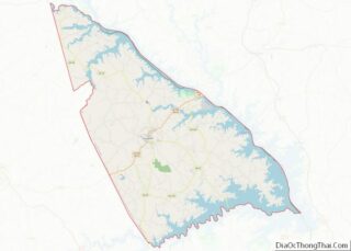
| County: | Lincoln County |
| Elevation: | 469 ft (143 m) |
| Total Area: | 3.53 sq mi (9.13 km²) |
| Land Area: | 3.51 sq mi (9.10 km²) |
| Water Area: | 0.01 sq mi (0.03 km²) |
| Total Population: | 1,480 |
| Population Density: | 421.17/sq mi (162.61/km²) |
| ZIP code: | 30817 |
| Area code: | 706 |
| FIPS code: | 1346552 |
| GNISfeature ID: | 0328514 |
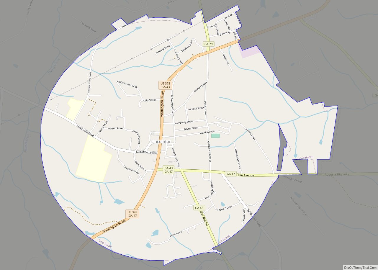
Online Interactive Map
Click on ![]() to view map in "full screen" mode.
to view map in "full screen" mode.
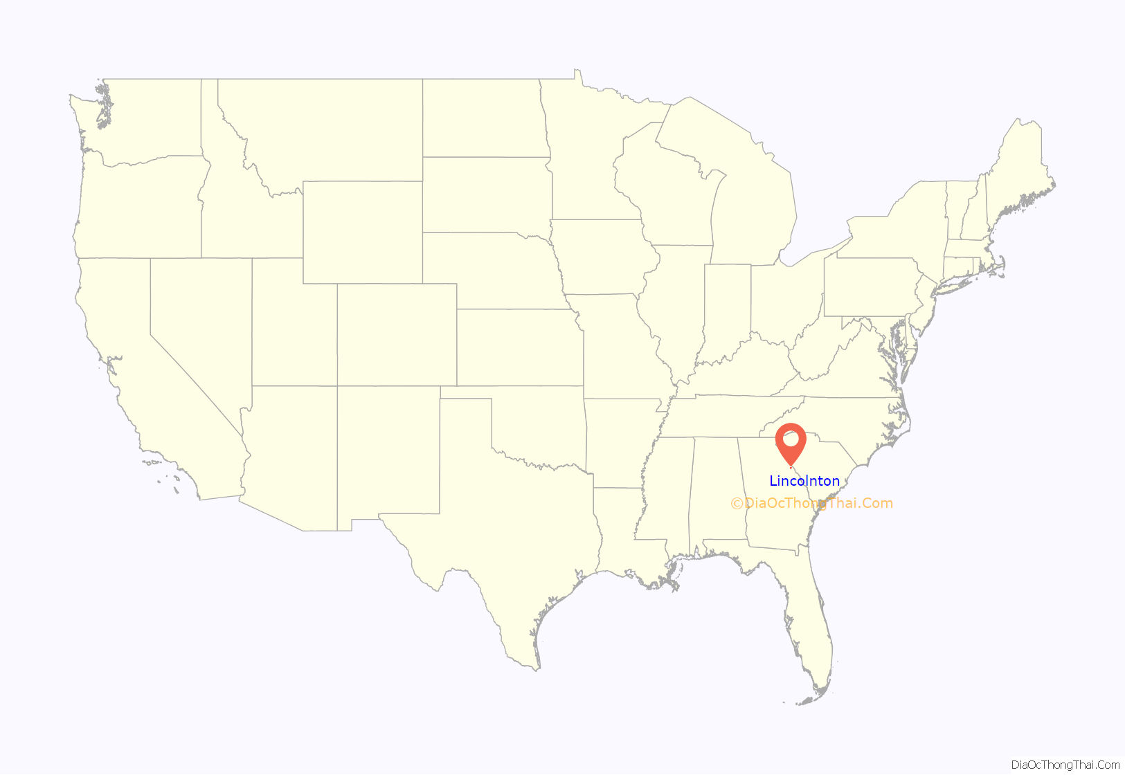
Lincolnton location map. Where is Lincolnton city?

History
Lincolnton was founded in 1798 as seat of the newly formed Lincoln County. It was incorporated as a town in 1817 and as a city in 1953.
Lincolnton Road Map

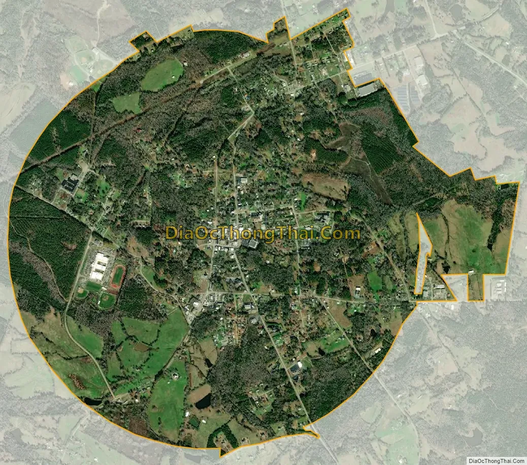
Lincolnton city Satellite Map
Geography
Lincolnton is located in central Lincoln County at 33°47′40″N 82°28′35″W / 33.79444°N 82.47639°W / 33.79444; -82.47639 (33.794414, -82.476450). U.S. Route 378 passes through the center of town as Washington Street, leading southwest 17 miles (27 km) to Washington, and northeast 14 miles (23 km) to McCormick, South Carolina. Georgia State Route 79 leads northwest 38 miles (61 km) to Elberton, while State Route 43 leads south 24 miles (39 km) to Thomson. Augusta is 39 miles (63 km) to the southeast via State Routes 47 and 104. A historical site, Elijah Clark State Park, is 7 miles (11 km) northeast of Lincolnton at the Savannah River.
According to the United States Census Bureau, Lincolnton has a total area of 3.5 square miles (9.1 km), of which 0.01 square miles (0.03 km), or 0.35%, are water. The west side of the city drains to Florence Creek, while the east side drains to Dry Fork Creek, both of which flow to Soap Creek, an arm of the Savannah River within Lake Strom Thurmond (Clarks Hill Lake).
See also
Map of Georgia State and its subdivision:- Appling
- Atkinson
- Bacon
- Baker
- Baldwin
- Banks
- Barrow
- Bartow
- Ben Hill
- Berrien
- Bibb
- Bleckley
- Brantley
- Brooks
- Bryan
- Bulloch
- Burke
- Butts
- Calhoun
- Camden
- Candler
- Carroll
- Catoosa
- Charlton
- Chatham
- Chattahoochee
- Chattooga
- Cherokee
- Clarke
- Clay
- Clayton
- Clinch
- Cobb
- Coffee
- Colquitt
- Columbia
- Cook
- Coweta
- Crawford
- Crisp
- Dade
- Dawson
- Decatur
- DeKalb
- Dodge
- Dooly
- Dougherty
- Douglas
- Early
- Echols
- Effingham
- Elbert
- Emanuel
- Evans
- Fannin
- Fayette
- Floyd
- Forsyth
- Franklin
- Fulton
- Gilmer
- Glascock
- Glynn
- Gordon
- Grady
- Greene
- Gwinnett
- Habersham
- Hall
- Hancock
- Haralson
- Harris
- Hart
- Heard
- Henry
- Houston
- Irwin
- Jackson
- Jasper
- Jeff Davis
- Jefferson
- Jenkins
- Johnson
- Jones
- Lamar
- Lanier
- Laurens
- Lee
- Liberty
- Lincoln
- Long
- Lowndes
- Lumpkin
- Macon
- Madison
- Marion
- McDuffie
- McIntosh
- Meriwether
- Miller
- Mitchell
- Monroe
- Montgomery
- Morgan
- Murray
- Muscogee
- Newton
- Oconee
- Oglethorpe
- Paulding
- Peach
- Pickens
- Pierce
- Pike
- Polk
- Pulaski
- Putnam
- Quitman
- Rabun
- Randolph
- Richmond
- Rockdale
- Schley
- Screven
- Seminole
- Spalding
- Stephens
- Stewart
- Sumter
- Talbot
- Taliaferro
- Tattnall
- Taylor
- Telfair
- Terrell
- Thomas
- Tift
- Toombs
- Towns
- Treutlen
- Troup
- Turner
- Twiggs
- Union
- Upson
- Walker
- Walton
- Ware
- Warren
- Washington
- Wayne
- Webster
- Wheeler
- White
- Whitfield
- Wilcox
- Wilkes
- Wilkinson
- Worth
- Alabama
- Alaska
- Arizona
- Arkansas
- California
- Colorado
- Connecticut
- Delaware
- District of Columbia
- Florida
- Georgia
- Hawaii
- Idaho
- Illinois
- Indiana
- Iowa
- Kansas
- Kentucky
- Louisiana
- Maine
- Maryland
- Massachusetts
- Michigan
- Minnesota
- Mississippi
- Missouri
- Montana
- Nebraska
- Nevada
- New Hampshire
- New Jersey
- New Mexico
- New York
- North Carolina
- North Dakota
- Ohio
- Oklahoma
- Oregon
- Pennsylvania
- Rhode Island
- South Carolina
- South Dakota
- Tennessee
- Texas
- Utah
- Vermont
- Virginia
- Washington
- West Virginia
- Wisconsin
- Wyoming