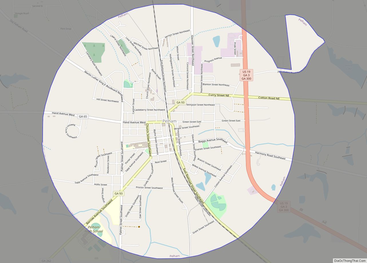
Pelham is a city in Mitchell County, Georgia, United States. The population was 3,507 at the 2020 census, down from 3,898 in 2010. Pelham is well-known for its agriculture, with vast farming of cotton and pecans in the area. Pelham city overview: Name: Pelham city LSAD Code: 25 LSAD Description: city (suffix) State: Georgia County: ... Read more
Georgia Cities and Places
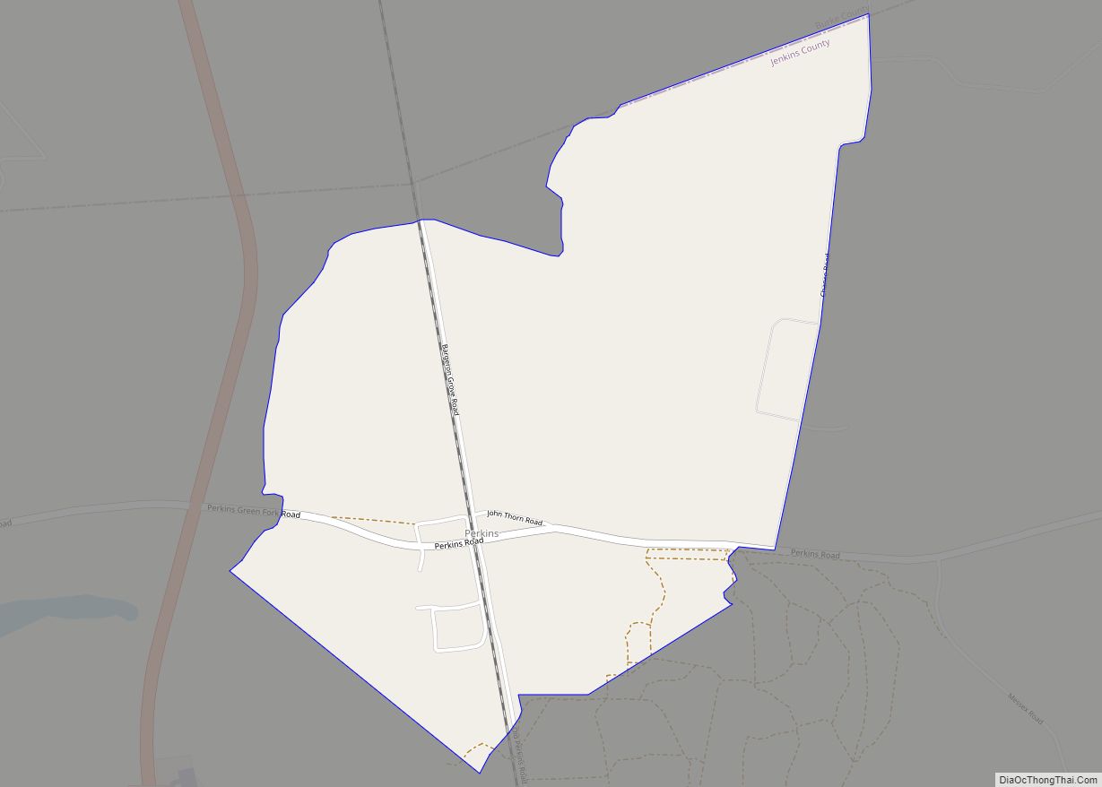
Perkins (also Perkins Station) is a census-designated place and unincorporated community in Jenkins County, Georgia, United States. As of the 2010 census it had a population of 91. It lies a short distance east of U.S. Route 25, 7 miles (11 km) north of the city of Millen, the county seat of Jenkins County. Its elevation ... Read more
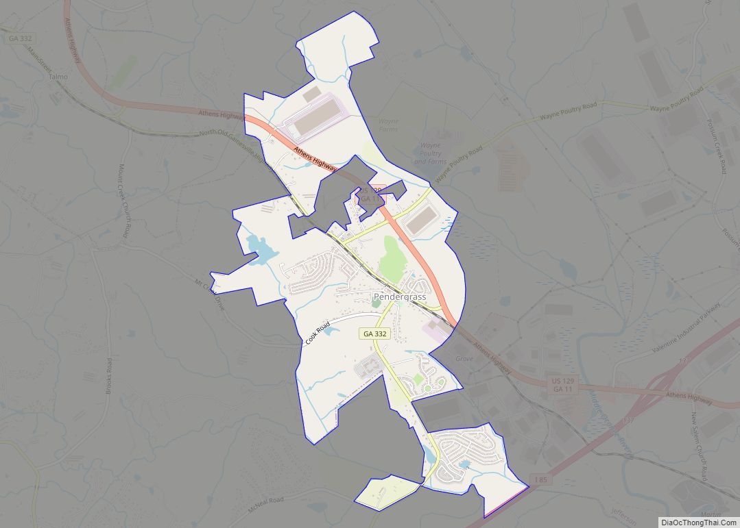
Pendergrass is a city in Jackson County, Georgia, United States. The population was 1692 at the time of the 2020 census. Pendergrass town overview: Name: Pendergrass town LSAD Code: 43 LSAD Description: town (suffix) State: Georgia County: Jackson County Elevation: 863 ft (263 m) Total Area: 3.43 sq mi (8.88 km²) Land Area: 3.38 sq mi (8.76 km²) Water Area: 0.04 sq mi (0.12 km²) Total ... Read more
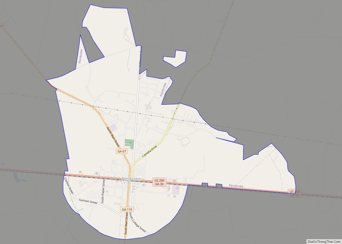
Pembroke is a city and county seat in Bryan County, Georgia, United States. As of the 2020 census, the population of the city was 2,513. It is located approximately 35 miles west of Savannah, Georgia, and approximately 20 miles south of Statesboro, Georgia. Pembroke city overview: Name: Pembroke city LSAD Code: 25 LSAD Description: city ... Read more
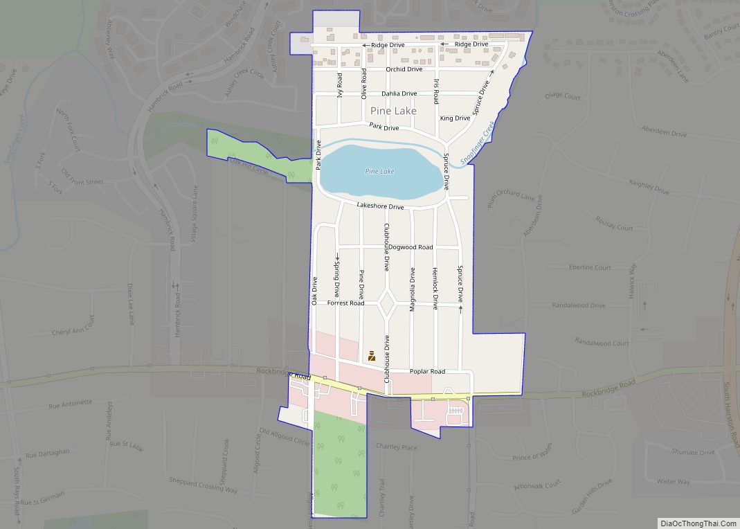
Pine Lake is the smallest city in DeKalb County, Georgia, United States. The population was 752 at the 2020 census. Pine Lake city overview: Name: Pine Lake city LSAD Code: 25 LSAD Description: city (suffix) State: Georgia County: DeKalb County Elevation: 948 ft (289 m) Total Area: 0.25 sq mi (0.66 km²) Land Area: 0.24 sq mi (0.61 km²) Water Area: 0.02 sq mi (0.04 km²) ... Read more
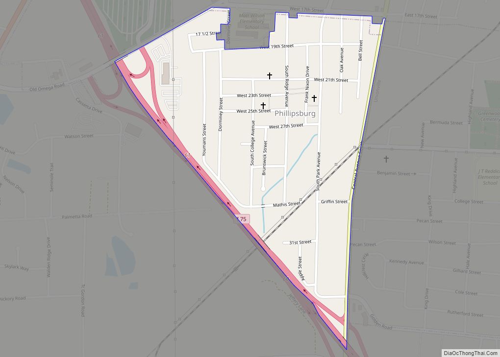
Phillipsburg is a census-designated place (CDP) in Tift County, Georgia, United States. The population was 887 at the 2000 census. Phillipsburg CDP overview: Name: Phillipsburg CDP LSAD Code: 57 LSAD Description: CDP (suffix) State: Georgia County: Tift County Elevation: 315 ft (96 m) Total Area: 0.31 sq mi (0.80 km²) Land Area: 0.31 sq mi (0.80 km²) Water Area: 0.00 sq mi (0.00 km²) Total Population: ... Read more
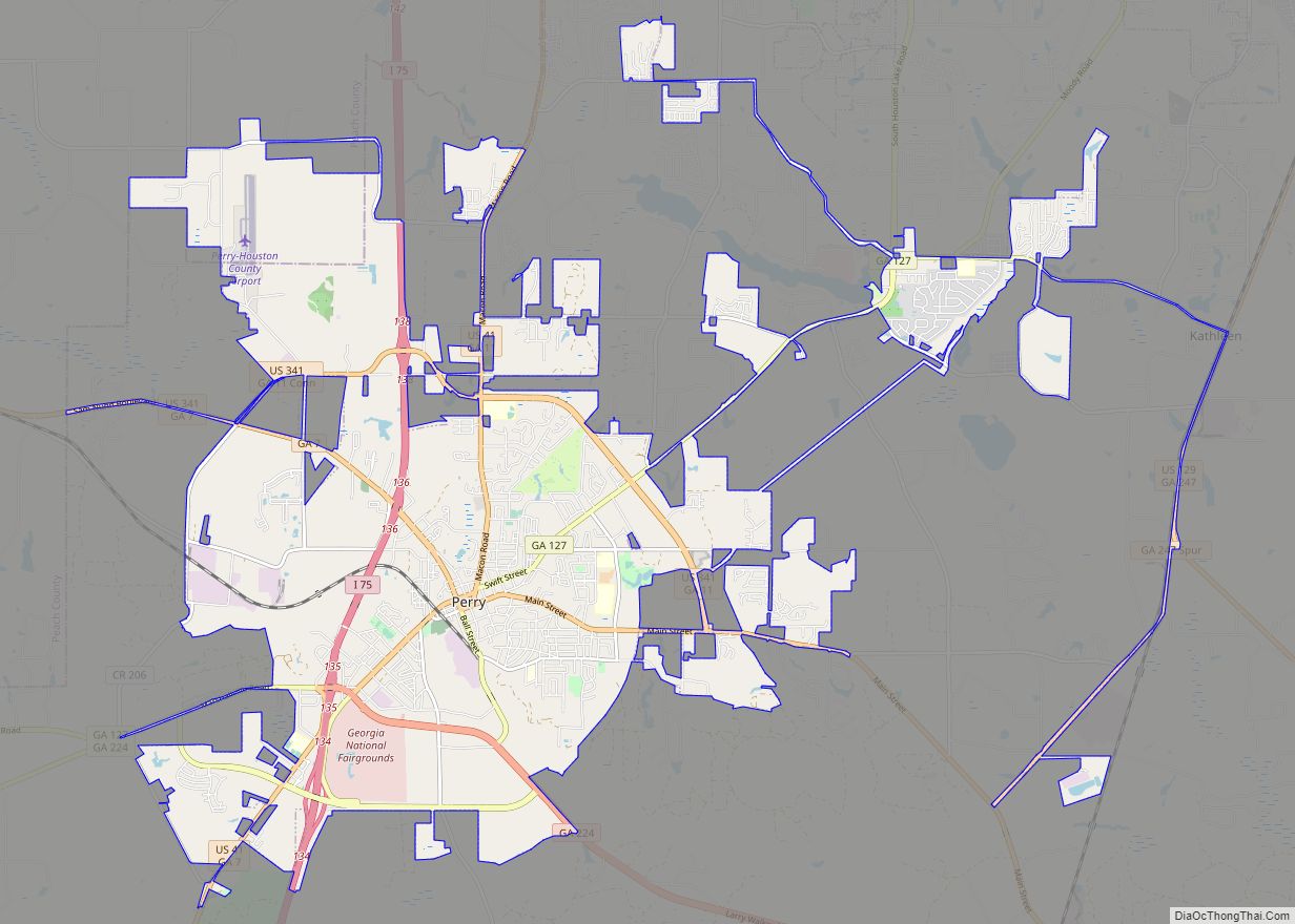
Perry is a city in Houston and Peach counties in the U.S. state of Georgia. It is the county seat of Houston County. The population was 13,839 at the 2010 census, up from 9,602 at the 2000 census. As of 2019 the estimated population was 17,894. It is part of the Warner Robins, Georgia Metropolitan ... Read more
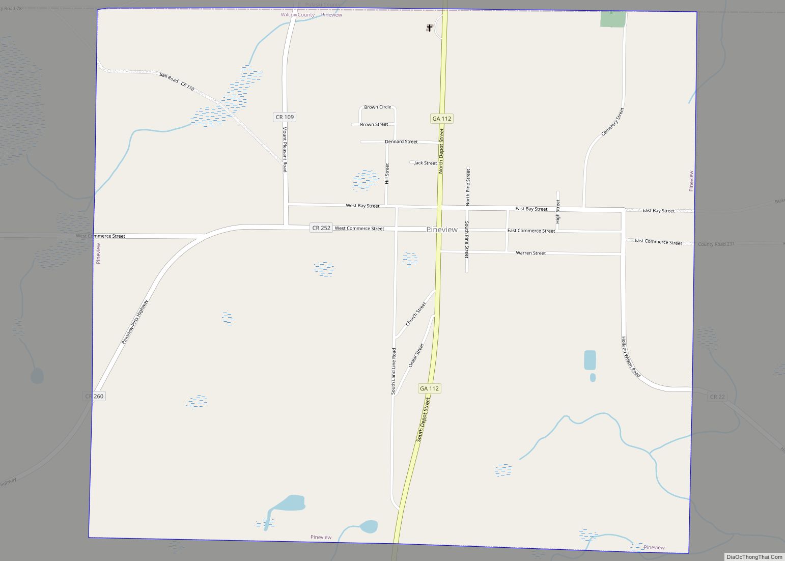
Pineview is a town in Wilcox County, Georgia, United States. Per the 2020 census, the population was 454. Pineview town overview: Name: Pineview town LSAD Code: 43 LSAD Description: town (suffix) State: Georgia County: Wilcox County Elevation: 292 ft (89 m) Total Area: 1.95 sq mi (5.06 km²) Land Area: 1.95 sq mi (5.05 km²) Water Area: 0.01 sq mi (0.01 km²) Total Population: 454 Population ... Read more
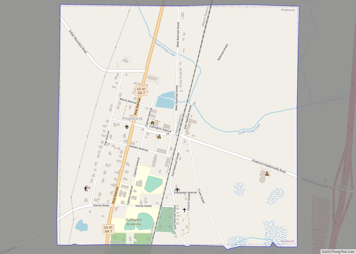
Pinehurst is a city in Dooly County, Georgia, United States. The population was 455 at the 2010 census, up from 307 in 2000. Pinehurst city overview: Name: Pinehurst city LSAD Code: 25 LSAD Description: city (suffix) State: Georgia County: Dooly County Elevation: 413 ft (126 m) Total Area: 1.02 sq mi (2.64 km²) Land Area: 1.02 sq mi (2.63 km²) Water Area: 0.00 sq mi ... Read more
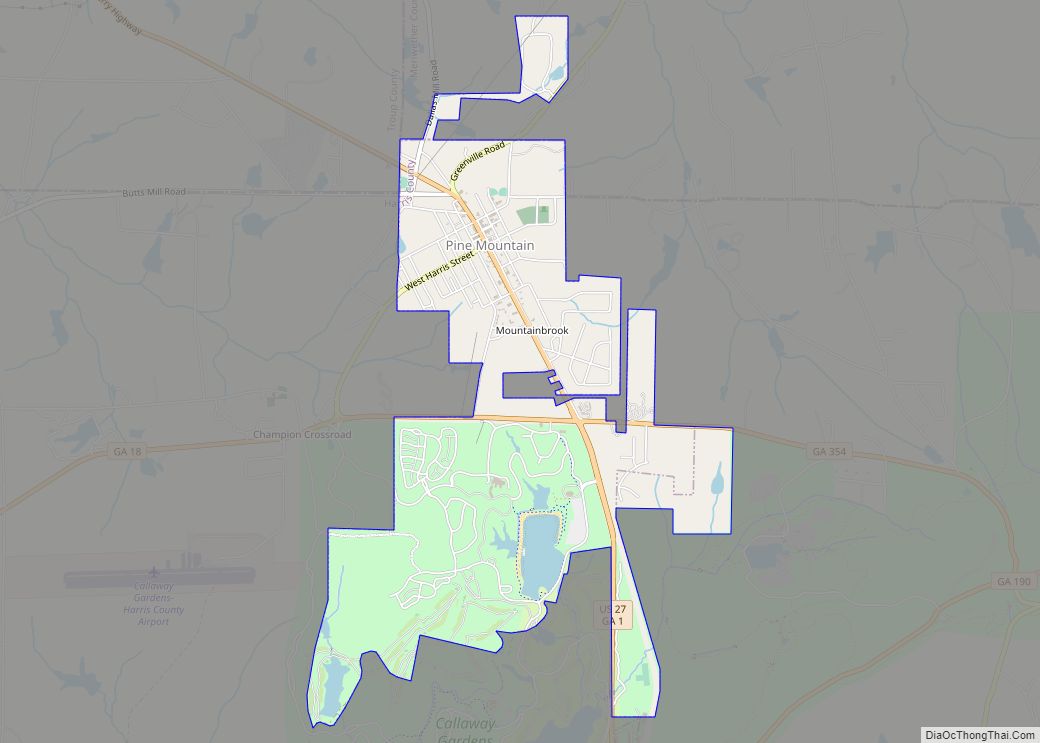
Pine Mountain is a town in Harris and Meriwether counties in the U.S. state of Georgia. As of the 2020 census it had a population of 1,216. The Harris County portion of Pine Mountain is part of the Columbus, GA-AL Metropolitan Statistical Area, while the small portion that extends into Meriwether County is part of ... Read more
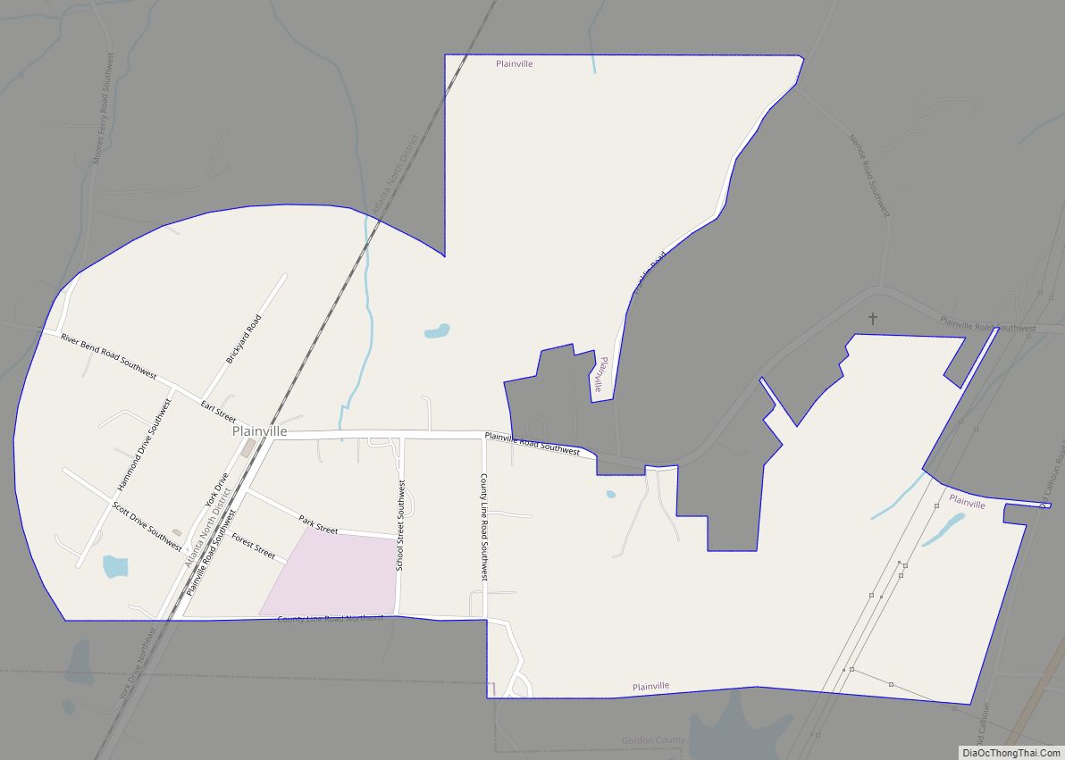
Plainville is a city located in Gordon County, Georgia. The population of Plainville was 313 at the 2010 census, up from 257 at the 2000 census. Plainville city overview: Name: Plainville city LSAD Code: 25 LSAD Description: city (suffix) State: Georgia County: Gordon County Elevation: 679 ft (207 m) Total Area: 0.72 sq mi (1.87 km²) Land Area: 0.72 sq mi (1.87 km²) ... Read more
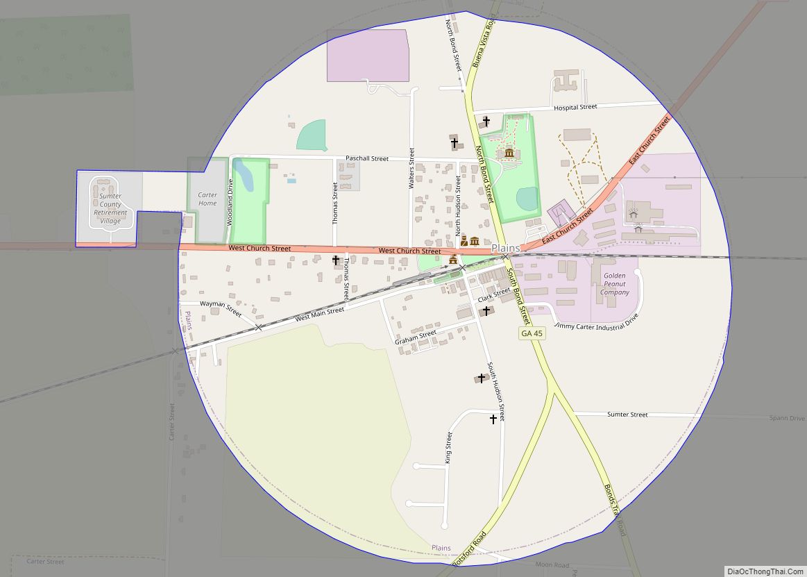
Plains is a city in Sumter County, Georgia, United States. The population was 776 at the 2010 census. It is part of the Americus Micropolitan Statistical Area. Plains is best known as the birthplace and home of Jimmy Carter, the 39th president of the United States. Plains city overview: Name: Plains city LSAD Code: 25 ... Read more
