Pinehurst is a city in Dooly County, Georgia, United States. The population was 455 at the 2010 census, up from 307 in 2000.
| Name: | Pinehurst city |
|---|---|
| LSAD Code: | 25 |
| LSAD Description: | city (suffix) |
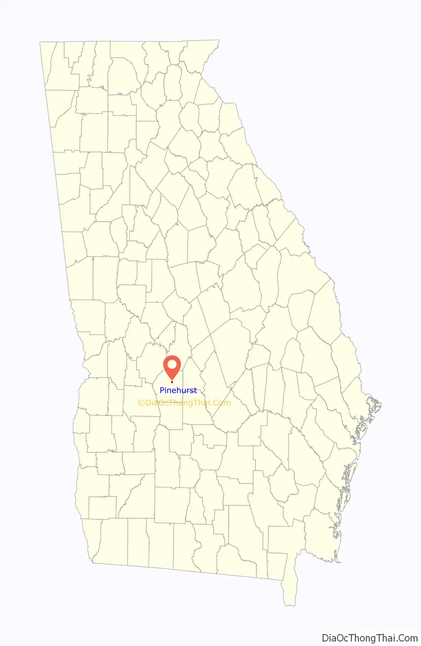
| State: | Georgia |
| County: | Dooly County |
| Elevation: | 413 ft (126 m) |
| Total Area: | 1.02 sq mi (2.64 km²) |
| Land Area: | 1.02 sq mi (2.63 km²) |
| Water Area: | 0.00 sq mi (0.01 km²) |
| Total Population: | 309 |
| Population Density: | 303.83/sq mi (117.29/km²) |
| ZIP code: | 31070 |
| Area code: | 229 |
| FIPS code: | 1360984 |
| GNISfeature ID: | 0320662 |
| Website: | cityofpinehurstga.com |
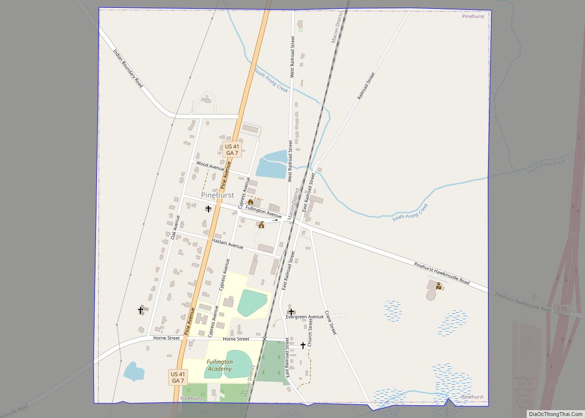
Online Interactive Map
Click on ![]() to view map in "full screen" mode.
to view map in "full screen" mode.
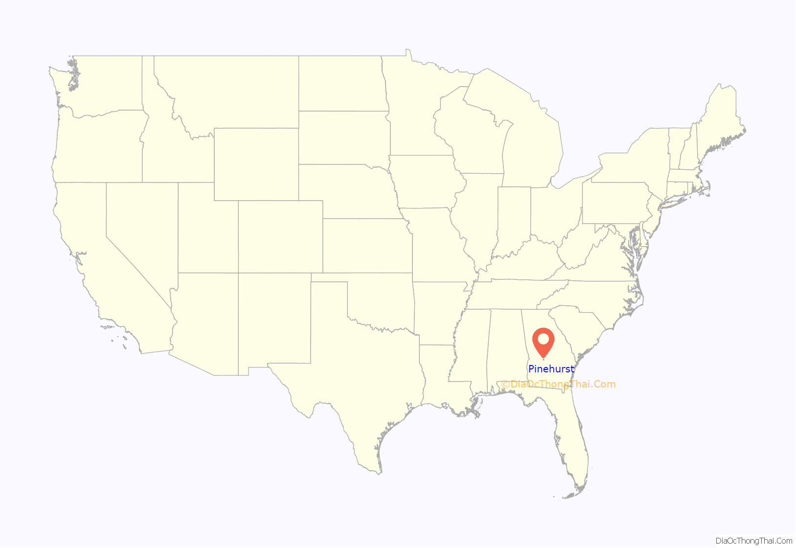
Pinehurst location map. Where is Pinehurst city?
History
The Georgia General Assembly incorporated Pinehurst in 1895. The community was named for the pine trees abundant in Georgia.
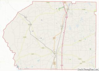
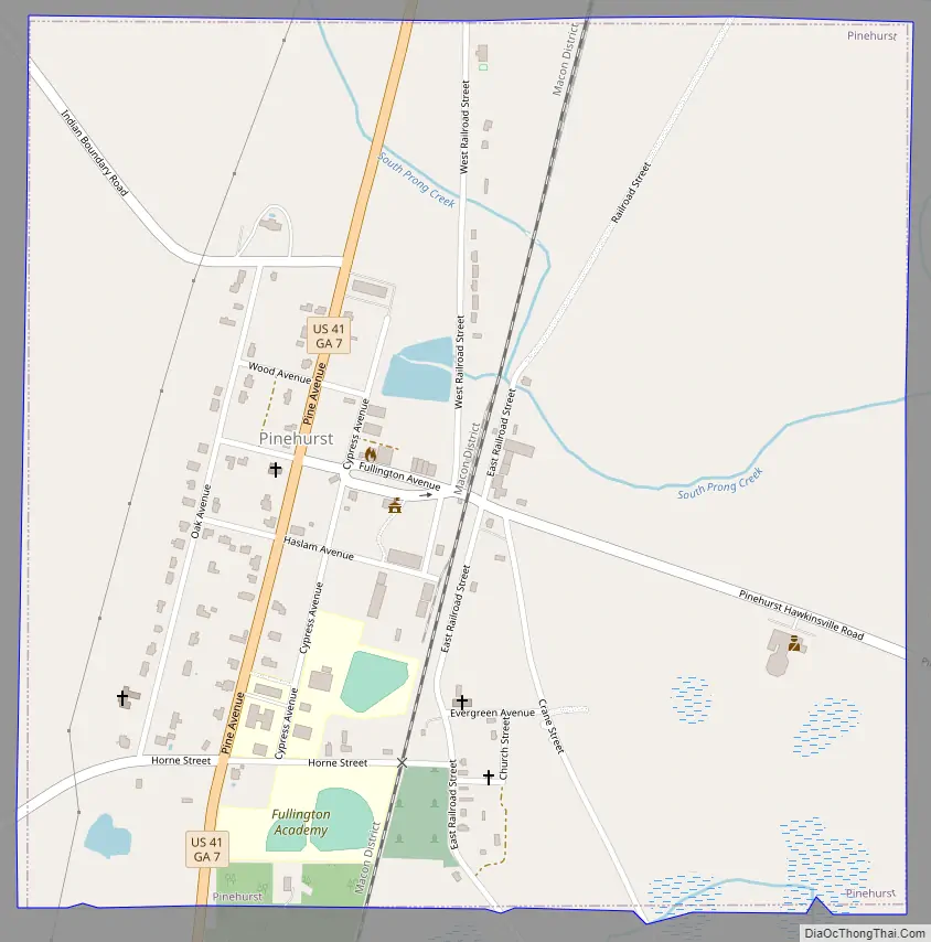
Pinehurst Road Map
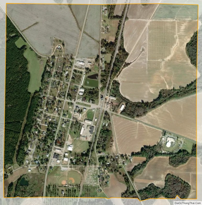
Pinehurst city Satellite Map
Geography
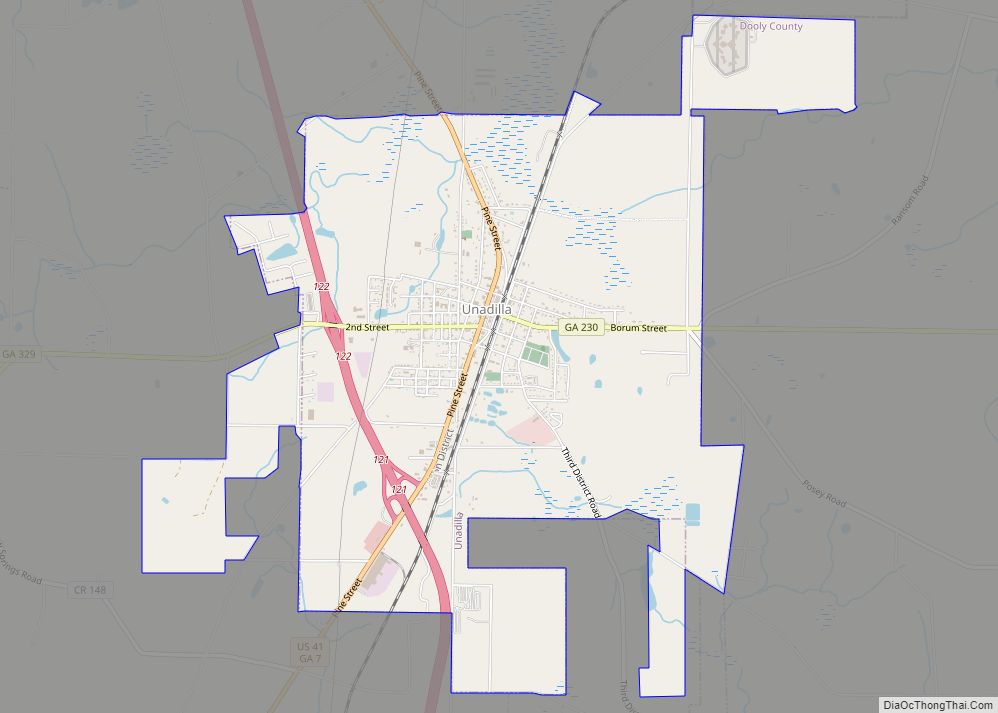
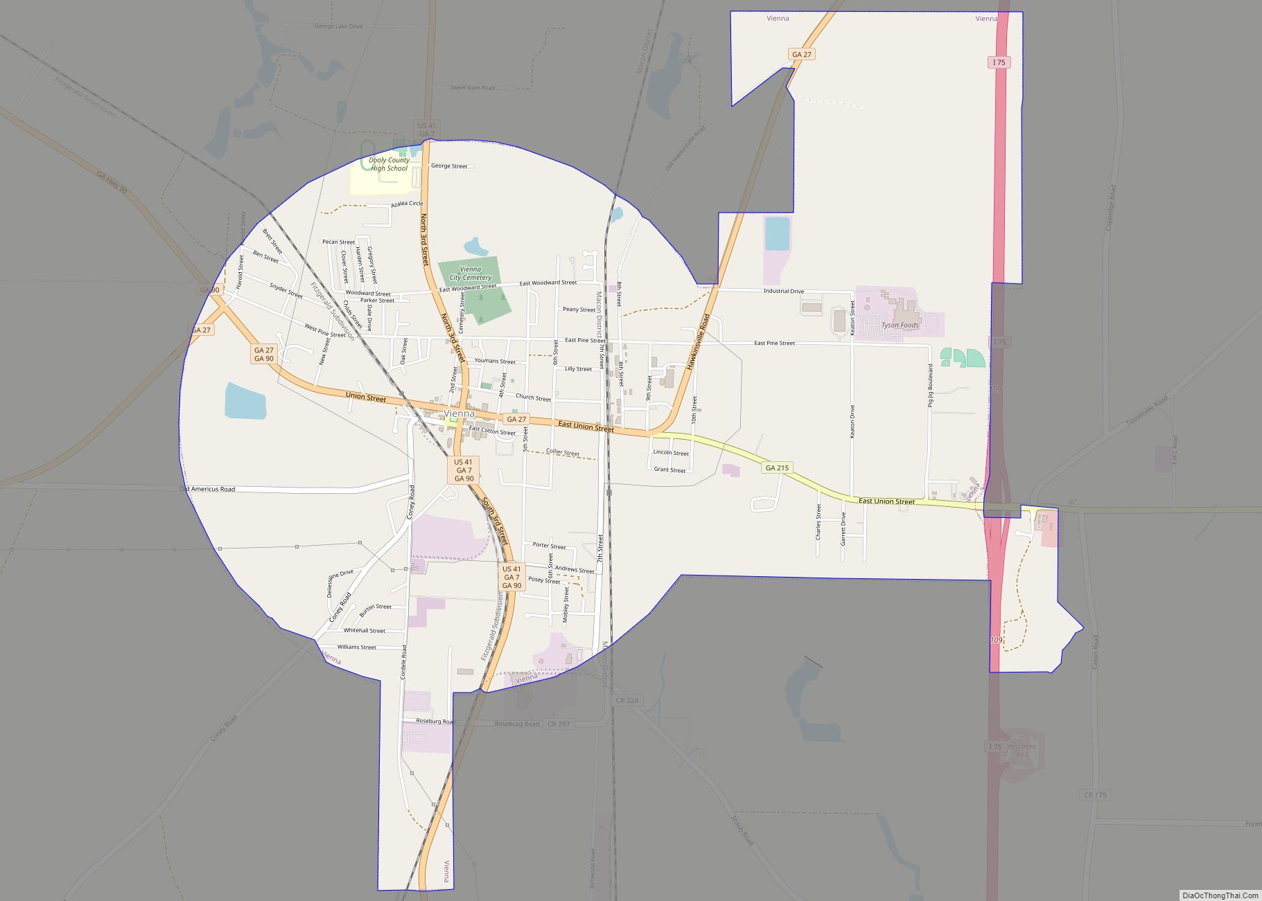
Pinehurst is located northeast of the center of Dooly County at 32°11′40″N 83°45′40″W / 32.19444°N 83.76111°W / 32.19444; -83.76111 (32.194472, -83.761112). U.S. Route 41 passes through the center of town as Pine Avenue, leading north 5 miles (8 km) to Unadilla and south 8 miles (13 km) to Vienna, the county seat. Interstate 75 passes just east of the town limits, with access from Exit 117; I-75 leads north 48 miles (77 km) to Macon and south 56 miles (90 km) to Tifton.
According to the United States Census Bureau, the city has a total area of 1.0 square mile (2.6 km), all land.
See also
Map of Georgia State and its subdivision:- Appling
- Atkinson
- Bacon
- Baker
- Baldwin
- Banks
- Barrow
- Bartow
- Ben Hill
- Berrien
- Bibb
- Bleckley
- Brantley
- Brooks
- Bryan
- Bulloch
- Burke
- Butts
- Calhoun
- Camden
- Candler
- Carroll
- Catoosa
- Charlton
- Chatham
- Chattahoochee
- Chattooga
- Cherokee
- Clarke
- Clay
- Clayton
- Clinch
- Cobb
- Coffee
- Colquitt
- Columbia
- Cook
- Coweta
- Crawford
- Crisp
- Dade
- Dawson
- Decatur
- DeKalb
- Dodge
- Dooly
- Dougherty
- Douglas
- Early
- Echols
- Effingham
- Elbert
- Emanuel
- Evans
- Fannin
- Fayette
- Floyd
- Forsyth
- Franklin
- Fulton
- Gilmer
- Glascock
- Glynn
- Gordon
- Grady
- Greene
- Gwinnett
- Habersham
- Hall
- Hancock
- Haralson
- Harris
- Hart
- Heard
- Henry
- Houston
- Irwin
- Jackson
- Jasper
- Jeff Davis
- Jefferson
- Jenkins
- Johnson
- Jones
- Lamar
- Lanier
- Laurens
- Lee
- Liberty
- Lincoln
- Long
- Lowndes
- Lumpkin
- Macon
- Madison
- Marion
- McDuffie
- McIntosh
- Meriwether
- Miller
- Mitchell
- Monroe
- Montgomery
- Morgan
- Murray
- Muscogee
- Newton
- Oconee
- Oglethorpe
- Paulding
- Peach
- Pickens
- Pierce
- Pike
- Polk
- Pulaski
- Putnam
- Quitman
- Rabun
- Randolph
- Richmond
- Rockdale
- Schley
- Screven
- Seminole
- Spalding
- Stephens
- Stewart
- Sumter
- Talbot
- Taliaferro
- Tattnall
- Taylor
- Telfair
- Terrell
- Thomas
- Tift
- Toombs
- Towns
- Treutlen
- Troup
- Turner
- Twiggs
- Union
- Upson
- Walker
- Walton
- Ware
- Warren
- Washington
- Wayne
- Webster
- Wheeler
- White
- Whitfield
- Wilcox
- Wilkes
- Wilkinson
- Worth
- Alabama
- Alaska
- Arizona
- Arkansas
- California
- Colorado
- Connecticut
- Delaware
- District of Columbia
- Florida
- Georgia
- Hawaii
- Idaho
- Illinois
- Indiana
- Iowa
- Kansas
- Kentucky
- Louisiana
- Maine
- Maryland
- Massachusetts
- Michigan
- Minnesota
- Mississippi
- Missouri
- Montana
- Nebraska
- Nevada
- New Hampshire
- New Jersey
- New Mexico
- New York
- North Carolina
- North Dakota
- Ohio
- Oklahoma
- Oregon
- Pennsylvania
- Rhode Island
- South Carolina
- South Dakota
- Tennessee
- Texas
- Utah
- Vermont
- Virginia
- Washington
- West Virginia
- Wisconsin
- Wyoming