Perry is a city in Houston and Peach counties in the U.S. state of Georgia. It is the county seat of Houston County. The population was 13,839 at the 2010 census, up from 9,602 at the 2000 census. As of 2019 the estimated population was 17,894. It is part of the Warner Robins, Georgia Metropolitan Statistical Area, within the Macon–Bibb County–Warner Robins Combined Statistical Area.
Perry is best known as the location of the annual Georgia National Fair.
| Name: | Perry city |
|---|---|
| LSAD Code: | 25 |
| LSAD Description: | city (suffix) |
| State: | Georgia |
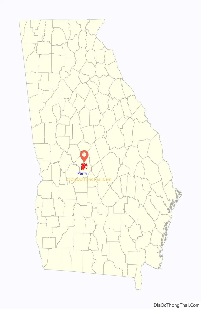
| County: | Houston County, Peach County |
| Elevation: | 364 ft (111 m) |
| Total Area: | 27.11 sq mi (70.20 km²) |
| Land Area: | 26.98 sq mi (69.87 km²) |
| Water Area: | 0.13 sq mi (0.34 km²) |
| Total Population: | 20,624 |
| Population Density: | 764.53/sq mi (295.19/km²) |
| ZIP code: | 31069 |
| Area code: | 478 |
| FIPS code: | 1360340 |
| GNISfeature ID: | 0320389 |
| Website: | www.perry-ga.gov, www.perryga.com |
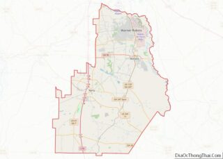
Online Interactive Map
Click on ![]() to view map in "full screen" mode.
to view map in "full screen" mode.
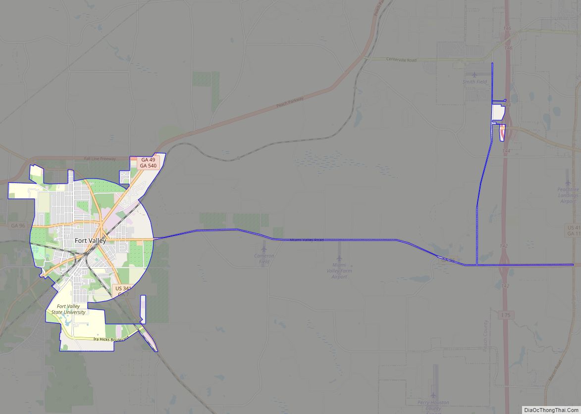
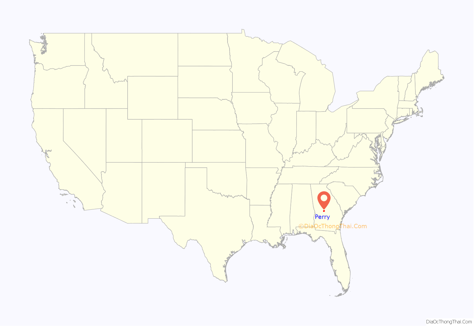
Perry location map. Where is Perry city?
History
Founded in 1823 as “Wattsville”, the town was located near the center of Houston County and served as its courthouse. The name was soon changed to honor Commodore Oliver Hazard Perry, a hero of the War of 1812. The Georgia General Assembly incorporated the town on December 9, 1824. The original city limit was a circle, one mile in diameter, except where bounded on the north by Big Indian Creek.
Antebellum industry in Perry included gristmills, sawmills, and cotton gins. The Houston Home Journal began publishing in 1870. Cotton was the most significant commodity crop in the 20th century.
Tourism has been important to the local economy since about 1920, when U.S. Highway 41 to Florida was paved. The New Perry Hotel, built in 1870 and rebuilt in 1925, became a landmark for many Florida tourists. The downtown area has emphasized its historic heritage and has several quaint shops and restaurants.
Since World War II, when Robins Air Force Base was established in nearby Warner Robins, the military has been a significant employer in the area. Warner Robins is several times larger than Perry. Other manufacturers in the city have included Frito-Lay, Perdue Farms (formally Heileman Brewing Co.), and Cemex, Inc. (formally Penn-Dixie Cement and Medusa Cement Company).
In the early 1960s Interstate 75 was constructed through the western side of the city. It has attracted more businesses that cater to travelers. The Georgia National Fairgrounds and Agricenter opened in 1990. The Go Fish Georgia Education Center opened October 8, 2010.
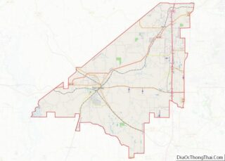
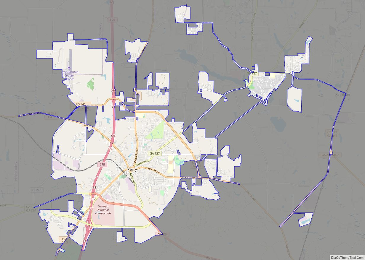
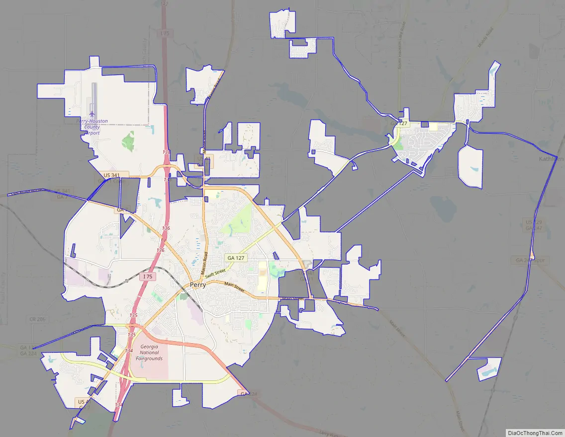
Perry Road Map
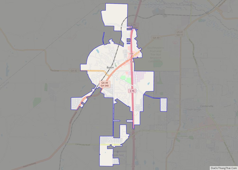
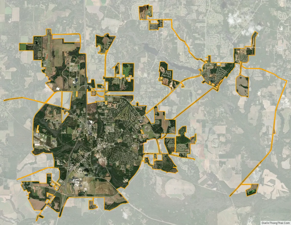
Perry city Satellite Map
Geography
Perry is located in west-central Houston County at 32°27′54″N 83°43′16″W / 32.46500°N 83.72111°W / 32.46500; -83.72111 (32.464940, −83.721163). The city limits extend northwest into Peach County. It is on Big Indian Creek, a tributary of the Ocmulgee River.
U.S. Highway 41 passes through the center of Perry, leading north 30 miles (48 km) to Macon and south 16 miles (26 km) to Unadilla. Interstate 75, the major north-south artery through Georgia, passes through the western side of Perry, with access from Exits 134 through 138. I-75 leads north 106 miles (171 km) to Atlanta and south 123 miles (198 km) to Valdosta. U.S. Highway 341 also passes through Perry, leading northwest 12 miles (19 km) to Fort Valley and southeast 21 miles (34 km) to Hawkinsville.
According to the United States Census Bureau, Perry has a total area of 26.3 square miles (68.1 km), of which 26.2 square miles (67.8 km) are land and 0.1 square miles (0.3 km), or 0.48%, are water.
See also
Map of Georgia State and its subdivision:- Appling
- Atkinson
- Bacon
- Baker
- Baldwin
- Banks
- Barrow
- Bartow
- Ben Hill
- Berrien
- Bibb
- Bleckley
- Brantley
- Brooks
- Bryan
- Bulloch
- Burke
- Butts
- Calhoun
- Camden
- Candler
- Carroll
- Catoosa
- Charlton
- Chatham
- Chattahoochee
- Chattooga
- Cherokee
- Clarke
- Clay
- Clayton
- Clinch
- Cobb
- Coffee
- Colquitt
- Columbia
- Cook
- Coweta
- Crawford
- Crisp
- Dade
- Dawson
- Decatur
- DeKalb
- Dodge
- Dooly
- Dougherty
- Douglas
- Early
- Echols
- Effingham
- Elbert
- Emanuel
- Evans
- Fannin
- Fayette
- Floyd
- Forsyth
- Franklin
- Fulton
- Gilmer
- Glascock
- Glynn
- Gordon
- Grady
- Greene
- Gwinnett
- Habersham
- Hall
- Hancock
- Haralson
- Harris
- Hart
- Heard
- Henry
- Houston
- Irwin
- Jackson
- Jasper
- Jeff Davis
- Jefferson
- Jenkins
- Johnson
- Jones
- Lamar
- Lanier
- Laurens
- Lee
- Liberty
- Lincoln
- Long
- Lowndes
- Lumpkin
- Macon
- Madison
- Marion
- McDuffie
- McIntosh
- Meriwether
- Miller
- Mitchell
- Monroe
- Montgomery
- Morgan
- Murray
- Muscogee
- Newton
- Oconee
- Oglethorpe
- Paulding
- Peach
- Pickens
- Pierce
- Pike
- Polk
- Pulaski
- Putnam
- Quitman
- Rabun
- Randolph
- Richmond
- Rockdale
- Schley
- Screven
- Seminole
- Spalding
- Stephens
- Stewart
- Sumter
- Talbot
- Taliaferro
- Tattnall
- Taylor
- Telfair
- Terrell
- Thomas
- Tift
- Toombs
- Towns
- Treutlen
- Troup
- Turner
- Twiggs
- Union
- Upson
- Walker
- Walton
- Ware
- Warren
- Washington
- Wayne
- Webster
- Wheeler
- White
- Whitfield
- Wilcox
- Wilkes
- Wilkinson
- Worth
- Alabama
- Alaska
- Arizona
- Arkansas
- California
- Colorado
- Connecticut
- Delaware
- District of Columbia
- Florida
- Georgia
- Hawaii
- Idaho
- Illinois
- Indiana
- Iowa
- Kansas
- Kentucky
- Louisiana
- Maine
- Maryland
- Massachusetts
- Michigan
- Minnesota
- Mississippi
- Missouri
- Montana
- Nebraska
- Nevada
- New Hampshire
- New Jersey
- New Mexico
- New York
- North Carolina
- North Dakota
- Ohio
- Oklahoma
- Oregon
- Pennsylvania
- Rhode Island
- South Carolina
- South Dakota
- Tennessee
- Texas
- Utah
- Vermont
- Virginia
- Washington
- West Virginia
- Wisconsin
- Wyoming