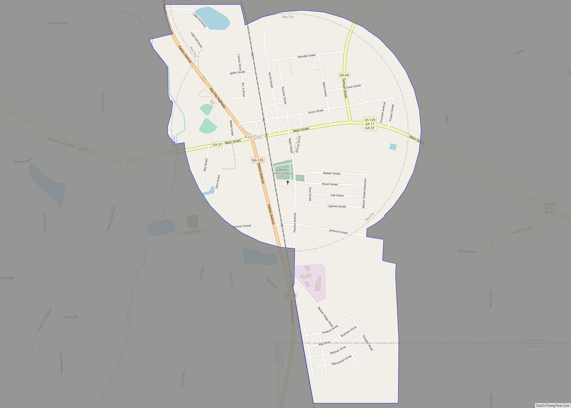
Ray City is a city in Berrien County and Lanier County, Georgia, United States. The population was 1,090 at the 2010 census. Ray City city overview: Name: Ray City city LSAD Code: 25 LSAD Description: city (suffix) State: Georgia County: Berrien County Elevation: 190 ft (58 m) Total Area: 1.15 sq mi (2.97 km²) Land Area: 1.15 sq mi (2.97 km²) Water Area: ... Read more
Georgia Cities and Places
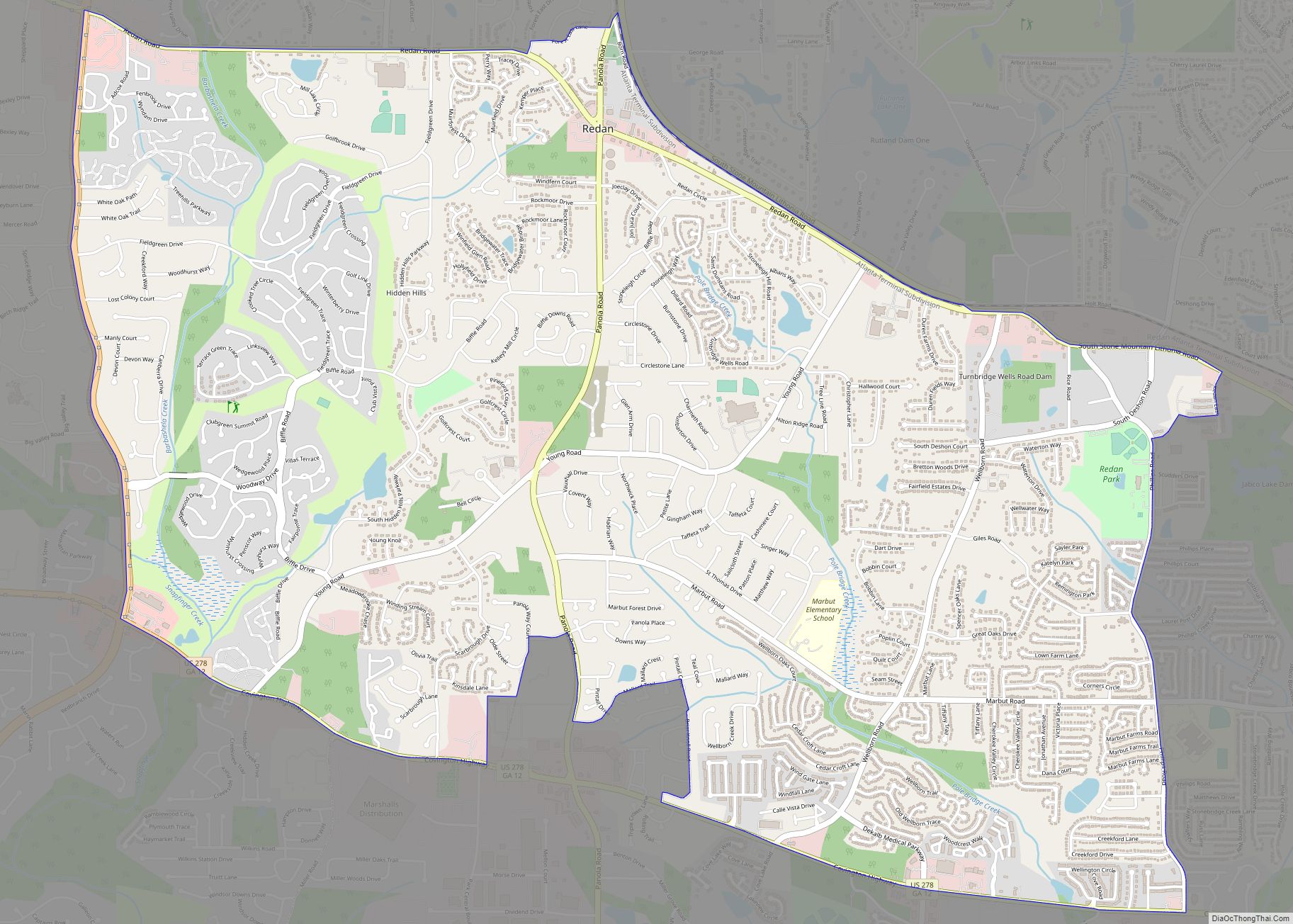
Redan is a census-designated place (CDP) in DeKalb County, Georgia, United States. As of the 2020 census, the CDP had a total population of 31,749. It is a predominantly African American community in eastern DeKalb County, and is a suburb of Atlanta. According to tradition, the name “Redan” is an amalgamation of the names of ... Read more
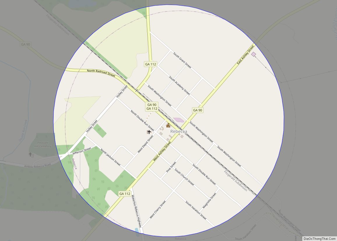
Rebecca is a city in Turner County, Georgia, United States, along the Alapaha River. The population was 246 at the 2000 census. Rebecca town overview: Name: Rebecca town LSAD Code: 43 LSAD Description: town (suffix) State: Georgia County: Turner County Elevation: 351 ft (107 m) Total Area: 0.79 sq mi (2.03 km²) Land Area: 0.79 sq mi (2.03 km²) Water Area: 0.00 sq mi (0.00 km²) ... Read more
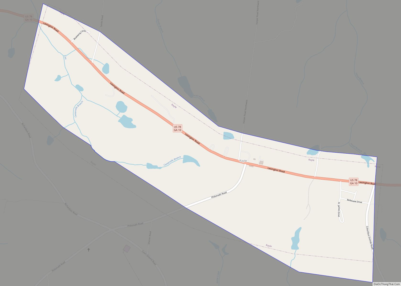
Rayle is a town in Wilkes County, Georgia, United States. The population was 139 at the 2000 census. Rayle town overview: Name: Rayle town LSAD Code: 43 LSAD Description: town (suffix) State: Georgia County: Wilkes County Elevation: 702 ft (214 m) Total Area: 1.04 sq mi (2.70 km²) Land Area: 1.02 sq mi (2.65 km²) Water Area: 0.02 sq mi (0.05 km²) Total Population: 158 Population ... Read more
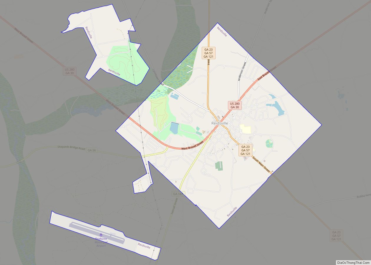
Reidsville is a city in, and county seat of, Tattnall County, Georgia. The population was 4,944 at the 2010 census. The Georgia State Prison is near Reidsville. Reidsville city overview: Name: Reidsville city LSAD Code: 25 LSAD Description: city (suffix) State: Georgia County: Tattnall County Elevation: 210 ft (64 m) Total Area: 7.70 sq mi (19.93 km²) Land Area: 7.57 sq mi ... Read more
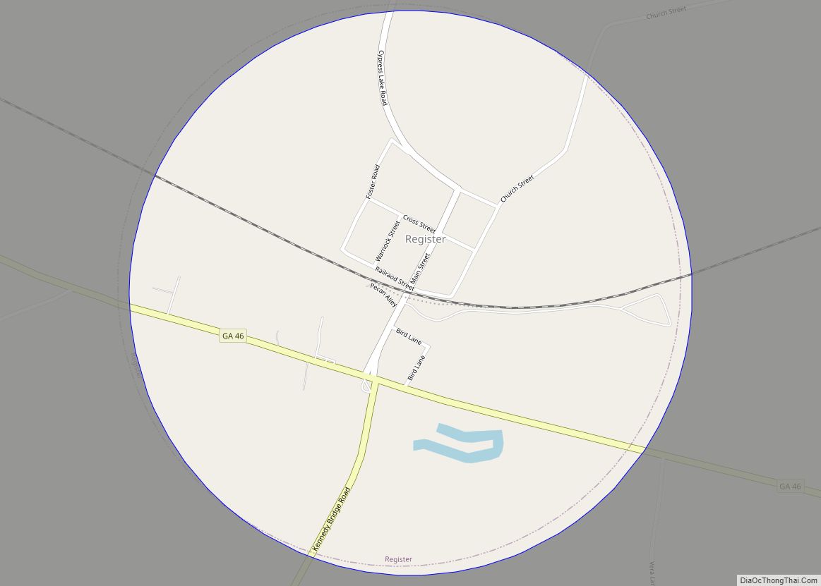
Register is a town in Bulloch County, Georgia, United States. The population was 175 at the 2010 census. The community was named after Frank Register, a pioneer citizen. Register town overview: Name: Register town LSAD Code: 43 LSAD Description: town (suffix) State: Georgia County: Bulloch County Elevation: 194 ft (59 m) Total Area: 0.79 sq mi (2.03 km²) Land Area: ... Read more
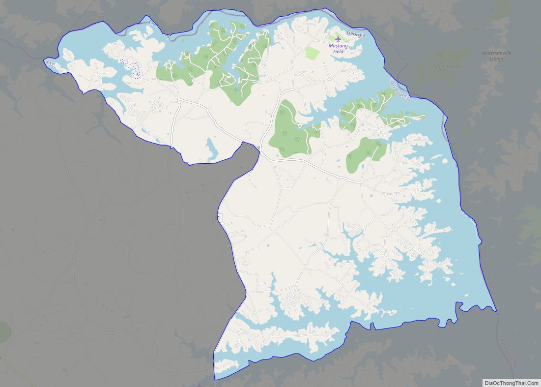
Reed Creek is a census-designated place (CDP) in Hart County, Georgia, United States. The population was 2,604 at the 2010 census, up from 2,148 at the 2000 census. Reed Creek CDP overview: Name: Reed Creek CDP LSAD Code: 57 LSAD Description: CDP (suffix) State: Georgia County: Hart County FIPS code: 1364288 Online Interactive Map Reed ... Read more
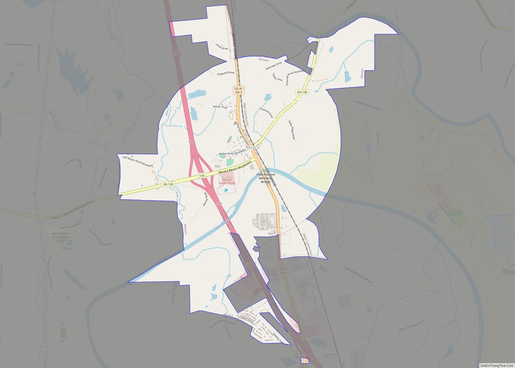
Resaca is a town in Gordon County, Georgia, United States, with unincorporated areas extending into Whitfield County. Resaca lies along the Oostanaula River. The population was 544 at the 2010 census. It is home to the Resaca Confederate Cemetery (Battle of Resaca) and a monastery. Resaca town overview: Name: Resaca town LSAD Code: 43 LSAD ... Read more
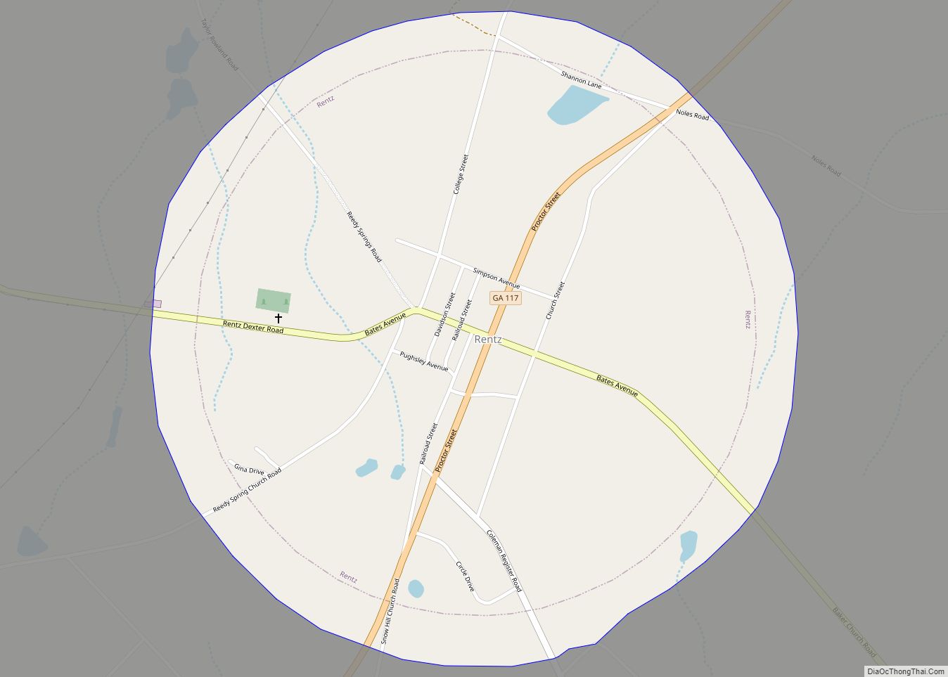
Rentz is a city in Laurens County, Georgia, United States. The population was 295 at the 2010 census. It is part of the Dublin Micropolitan Statistical Area. Rentz city overview: Name: Rentz city LSAD Code: 25 LSAD Description: city (suffix) State: Georgia County: Laurens County Elevation: 305 ft (93 m) Total Area: 1.06 sq mi (2.74 km²) Land Area: 1.05 sq mi ... Read more
Remerton is a city in Lowndes County, Georgia, United States. The population was 1,123 at the 2010 census. It was incorporated as a town in 1951, and chartered as a city under Georgia law in 2000. Remerton is an enclave of Valdosta and is a popular place for Valdosta State University students to live. Remerton ... Read more
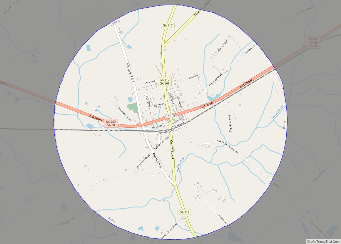
Rhine is a town in Dodge County, Georgia, United States. The population was 394 at the 2010 census. Rhine town overview: Name: Rhine town LSAD Code: 43 LSAD Description: town (suffix) State: Georgia County: Dodge County Elevation: 243 ft (74 m) Total Area: 3.14 sq mi (8.14 km²) Land Area: 3.13 sq mi (8.12 km²) Water Area: 0.01 sq mi (0.02 km²) Total Population: 295 Population ... Read more
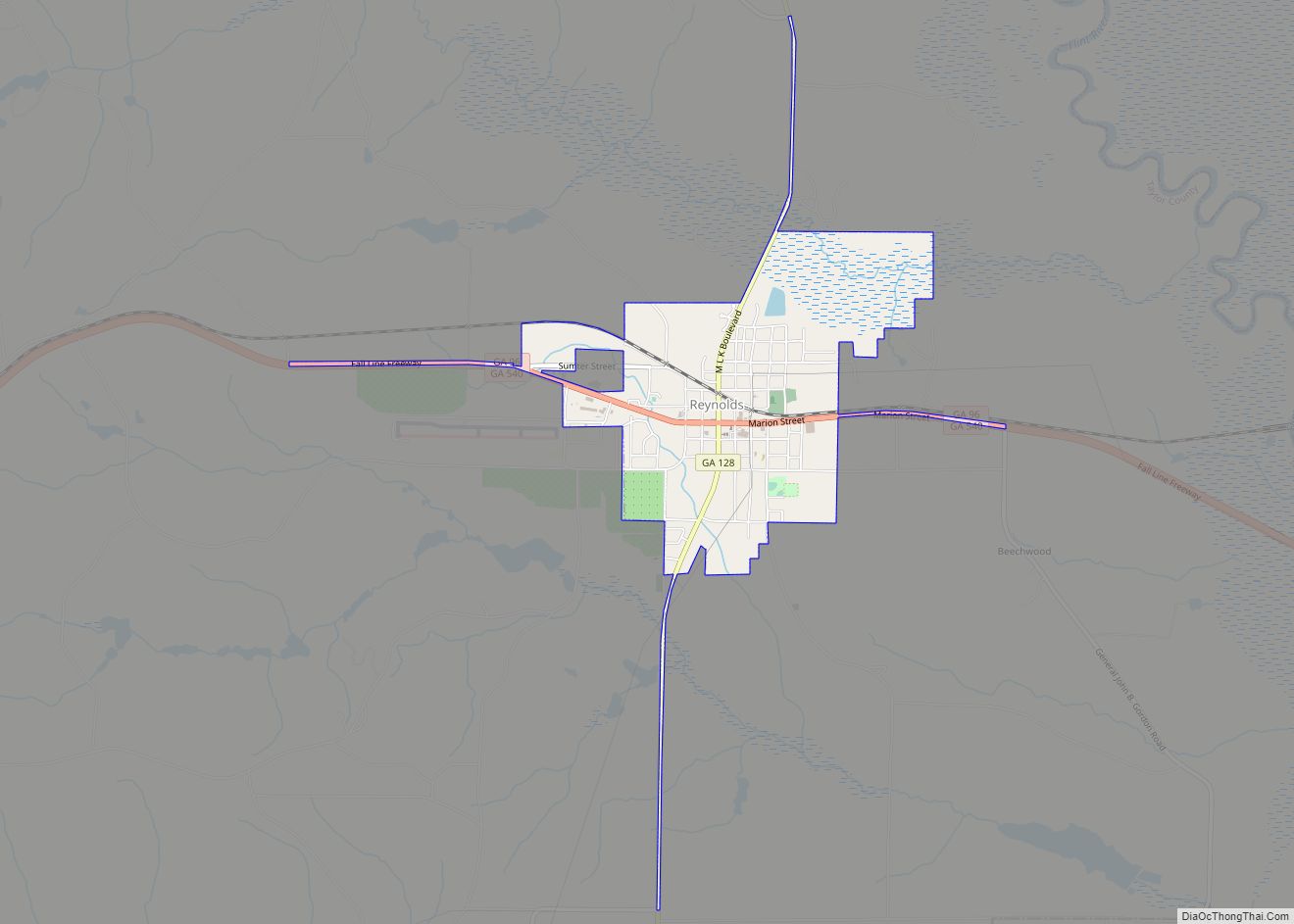
Reynolds is a town in Taylor County, Georgia, United States. The population was 1,086 at the 2010 census. Reynolds city overview: Name: Reynolds city LSAD Code: 25 LSAD Description: city (suffix) State: Georgia County: Taylor County Elevation: 440 ft (134 m) Total Area: 2.00 sq mi (5.18 km²) Land Area: 1.99 sq mi (5.15 km²) Water Area: 0.01 sq mi (0.03 km²) Total Population: 926 Population ... Read more
