Reidsville is a city in, and county seat of, Tattnall County, Georgia. The population was 4,944 at the 2010 census. The Georgia State Prison is near Reidsville.
| Name: | Reidsville city |
|---|---|
| LSAD Code: | 25 |
| LSAD Description: | city (suffix) |
| State: | Georgia |
| County: | Tattnall County |
| Elevation: | 210 ft (64 m) |
| Total Area: | 7.70 sq mi (19.93 km²) |
| Land Area: | 7.57 sq mi (19.61 km²) |
| Water Area: | 0.12 sq mi (0.32 km²) |
| Total Population: | 2,515 |
| Population Density: | 332.14/sq mi (128.25/km²) |
| ZIP code: | 30453, 30499 |
| Area code: | 912 |
| FIPS code: | 1364512 |
| GNISfeature ID: | 0321516 |
| Website: | cityofreidsvillega.com |
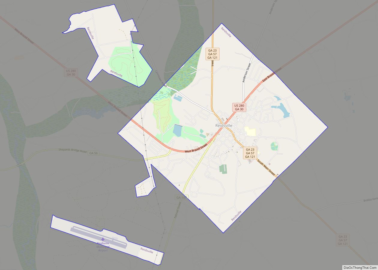
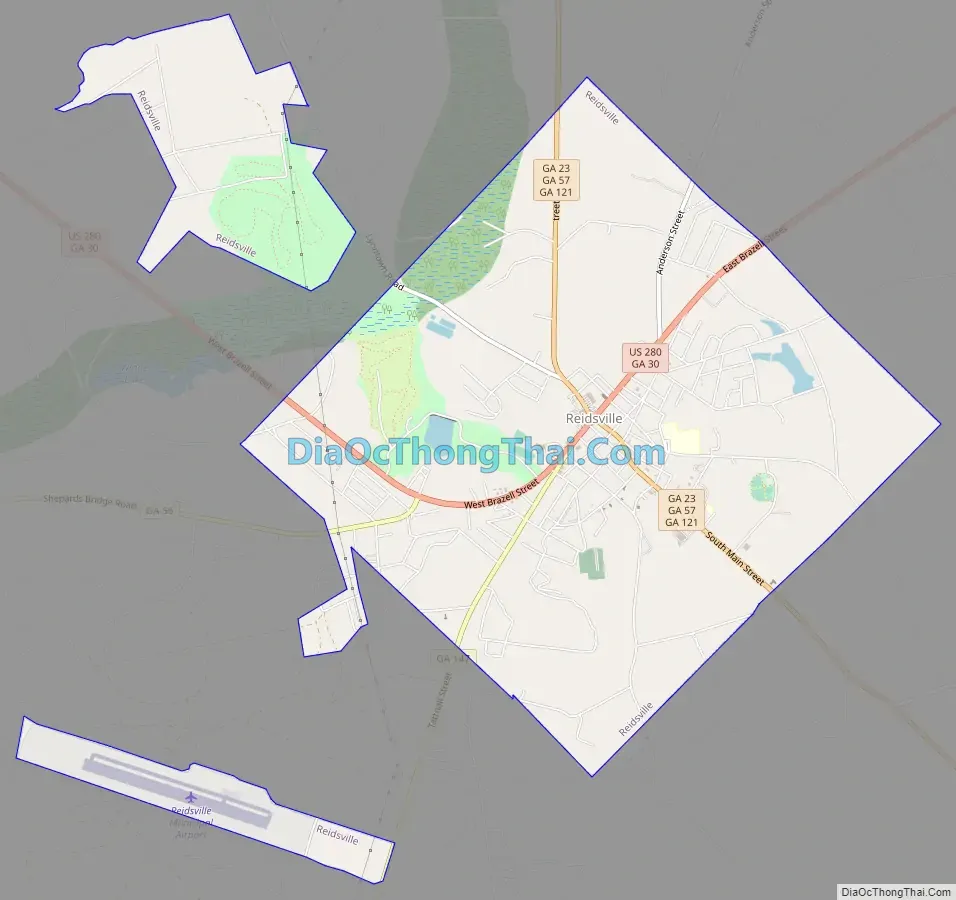
Online Interactive Map
Click on ![]() to view map in "full screen" mode.
to view map in "full screen" mode.
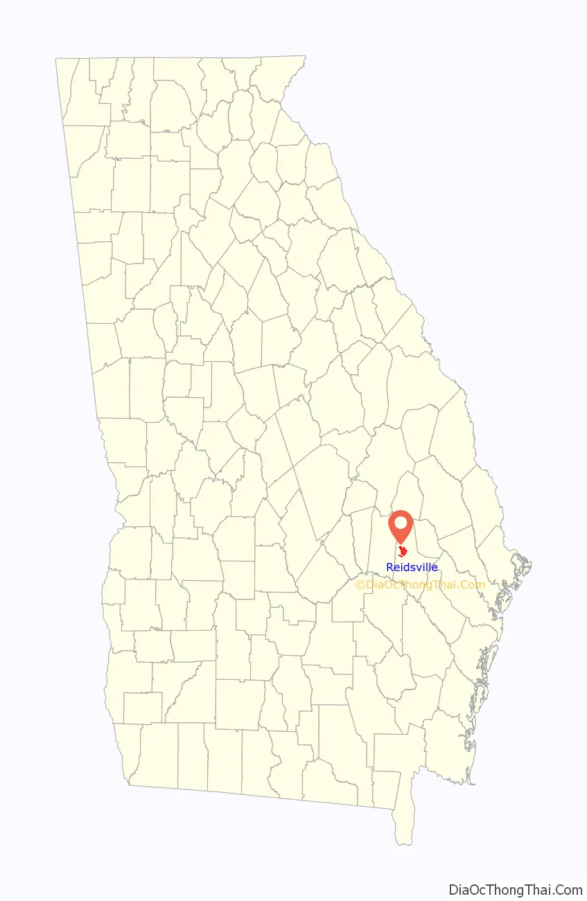
Reidsville location map. Where is Reidsville city?

History
Reidsville was founded in about 1828 and was designated county seat of Tattnall County in 1832 by the Georgia General Assembly. It was incorporated as a town in 1838 and as a city in 1905. The city was named after Robert R. Reid, territorial governor of Florida.
Reidsville is home to the Nelson Hotel Bed & Breakfast.
During the events of World War II, Reidsville was the home to at least one, though some reports suggest two, prisoner of war camps for captured Nazi personnel. The prison camp’s location has largely been lost to time, but is believed to have stood near the current location of a gas station/self-storage company, near the fringes of the city. Archaeological research into the area has turned up a number of German artifacts, though with the development and addition of a number of houses, it is not clear if this was the location of the camp, or one of the many onion fields in which the prisoners worked.
Reidsville Road Map
Reidsville city Satellite Map

Geography
Reidsville is located at 32°5′2″N 82°7′15″W / 32.08389°N 82.12083°W / 32.08389; -82.12083 (32.083970, -82.120697).
According to the United States Census Bureau, the city has a total area of 7.7 square miles (20 km), of which 7.7 square miles (20 km) are land and 0.04-square-mile (0.10 km) (0.39%) is water.
See also
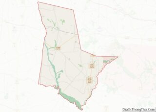
Map of Georgia State and its subdivision:- Appling
- Atkinson
- Bacon
- Baker
- Baldwin
- Banks
- Barrow
- Bartow
- Ben Hill
- Berrien
- Bibb
- Bleckley
- Brantley
- Brooks
- Bryan
- Bulloch
- Burke
- Butts
- Calhoun
- Camden
- Candler
- Carroll
- Catoosa
- Charlton
- Chatham
- Chattahoochee
- Chattooga
- Cherokee
- Clarke
- Clay
- Clayton
- Clinch
- Cobb
- Coffee
- Colquitt
- Columbia
- Cook
- Coweta
- Crawford
- Crisp
- Dade
- Dawson
- Decatur
- DeKalb
- Dodge
- Dooly
- Dougherty
- Douglas
- Early
- Echols
- Effingham
- Elbert
- Emanuel
- Evans
- Fannin
- Fayette
- Floyd
- Forsyth
- Franklin
- Fulton
- Gilmer
- Glascock
- Glynn
- Gordon
- Grady
- Greene
- Gwinnett
- Habersham
- Hall
- Hancock
- Haralson
- Harris
- Hart
- Heard
- Henry
- Houston
- Irwin
- Jackson
- Jasper
- Jeff Davis
- Jefferson
- Jenkins
- Johnson
- Jones
- Lamar
- Lanier
- Laurens
- Lee
- Liberty
- Lincoln
- Long
- Lowndes
- Lumpkin
- Macon
- Madison
- Marion
- McDuffie
- McIntosh
- Meriwether
- Miller
- Mitchell
- Monroe
- Montgomery
- Morgan
- Murray
- Muscogee
- Newton
- Oconee
- Oglethorpe
- Paulding
- Peach
- Pickens
- Pierce
- Pike
- Polk
- Pulaski
- Putnam
- Quitman
- Rabun
- Randolph
- Richmond
- Rockdale
- Schley
- Screven
- Seminole
- Spalding
- Stephens
- Stewart
- Sumter
- Talbot
- Taliaferro
- Tattnall
- Taylor
- Telfair
- Terrell
- Thomas
- Tift
- Toombs
- Towns
- Treutlen
- Troup
- Turner
- Twiggs
- Union
- Upson
- Walker
- Walton
- Ware
- Warren
- Washington
- Wayne
- Webster
- Wheeler
- White
- Whitfield
- Wilcox
- Wilkes
- Wilkinson
- Worth
- Alabama
- Alaska
- Arizona
- Arkansas
- California
- Colorado
- Connecticut
- Delaware
- District of Columbia
- Florida
- Georgia
- Hawaii
- Idaho
- Illinois
- Indiana
- Iowa
- Kansas
- Kentucky
- Louisiana
- Maine
- Maryland
- Massachusetts
- Michigan
- Minnesota
- Mississippi
- Missouri
- Montana
- Nebraska
- Nevada
- New Hampshire
- New Jersey
- New Mexico
- New York
- North Carolina
- North Dakota
- Ohio
- Oklahoma
- Oregon
- Pennsylvania
- Rhode Island
- South Carolina
- South Dakota
- Tennessee
- Texas
- Utah
- Vermont
- Virginia
- Washington
- West Virginia
- Wisconsin
- Wyoming