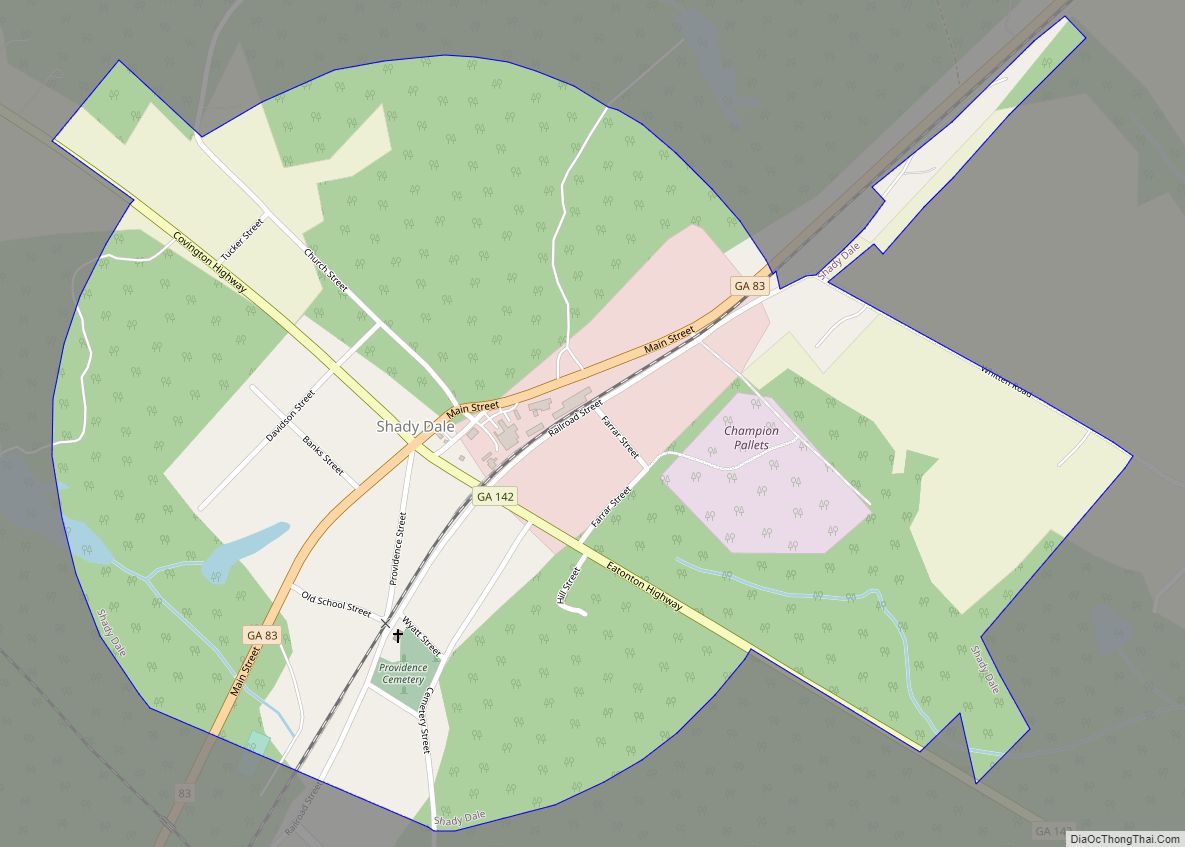
Shady Dale is a town in Jasper County, Georgia, United States. The population was 249 at the 2010 census. Shady Dale town overview: Name: Shady Dale town LSAD Code: 43 LSAD Description: town (suffix) State: Georgia County: Jasper County Elevation: 623 ft (190 m) Total Area: 0.89 sq mi (2.30 km²) Land Area: 0.89 sq mi (2.29 km²) Water Area: 0.00 sq mi (0.01 km²) Total ... Read more
Georgia Cities and Places
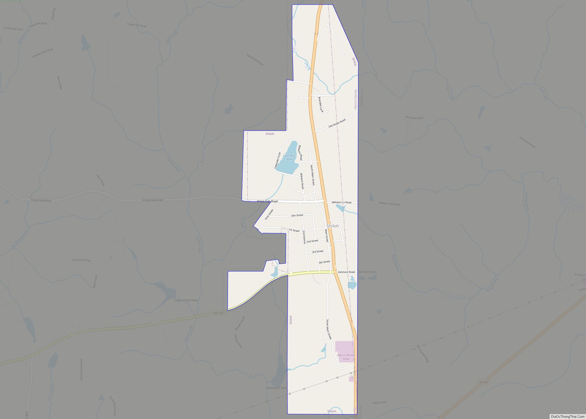
Shiloh is a city on the northeastern edge of Harris County, Georgia, United States. It is part of the Columbus, Georgia–Alabama Metropolitan Statistical Area. As of the 2020 census, the population was 402. Shiloh city overview: Name: Shiloh city LSAD Code: 25 LSAD Description: city (suffix) State: Georgia County: Harris County Elevation: 892 ft (272 m) Total ... Read more
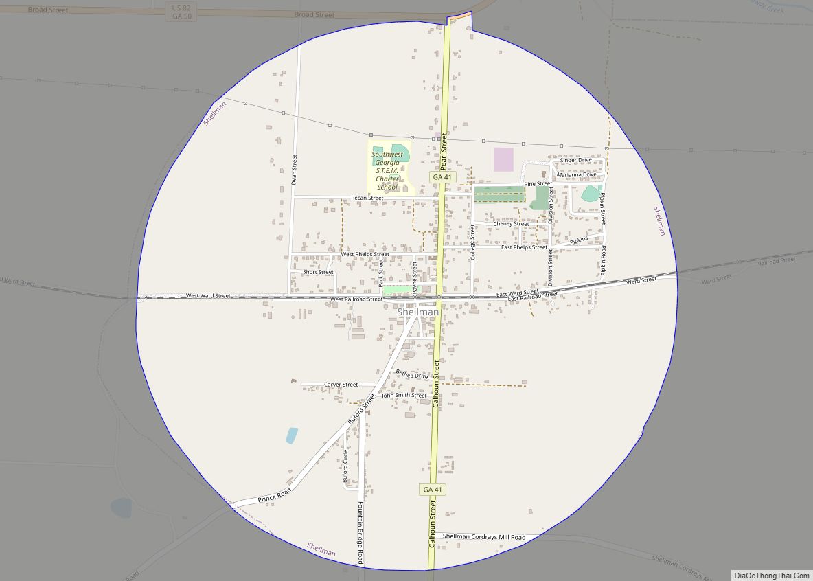
Shellman is a city in Randolph County, Georgia, United States. The population was 1,083 at the 2010 census. Buildings in the commercial center have been designated as an historic district and listed in 1985 on the National Register of Historic Places. Shellman city overview: Name: Shellman city LSAD Code: 25 LSAD Description: city (suffix) State: ... Read more
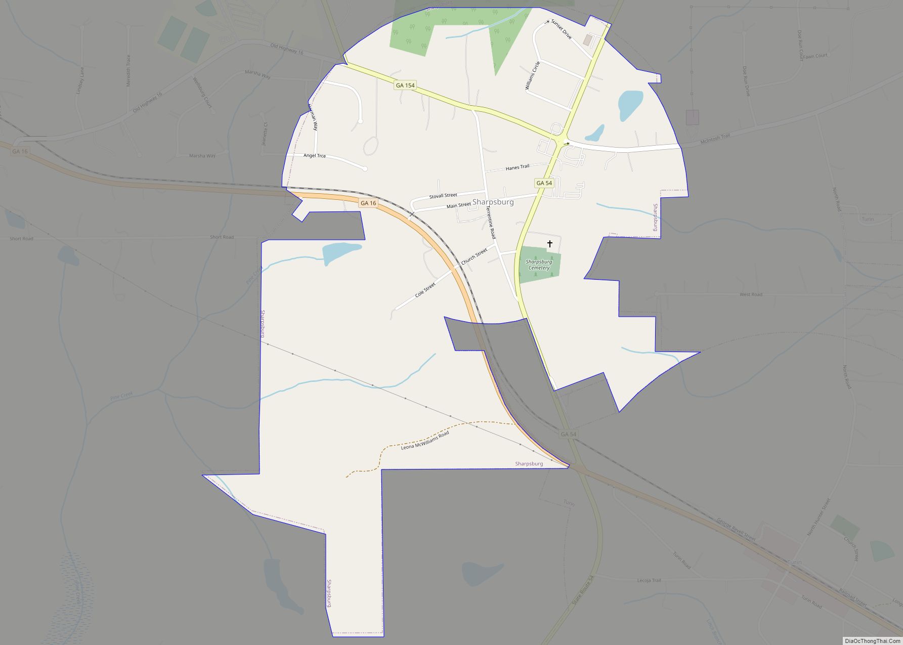
Sharpsburg (ˈʃɑrpsbɝg) is a town in Coweta County, Georgia, United States. It is part of the Atlanta metropolitan area. Its population was 341 at the 2010 census. Sharpsburg town overview: Name: Sharpsburg town LSAD Code: 43 LSAD Description: town (suffix) State: Georgia County: Coweta County Elevation: 925 ft (282 m) Total Area: 0.98 sq mi (2.53 km²) Land Area: 0.97 sq mi ... Read more
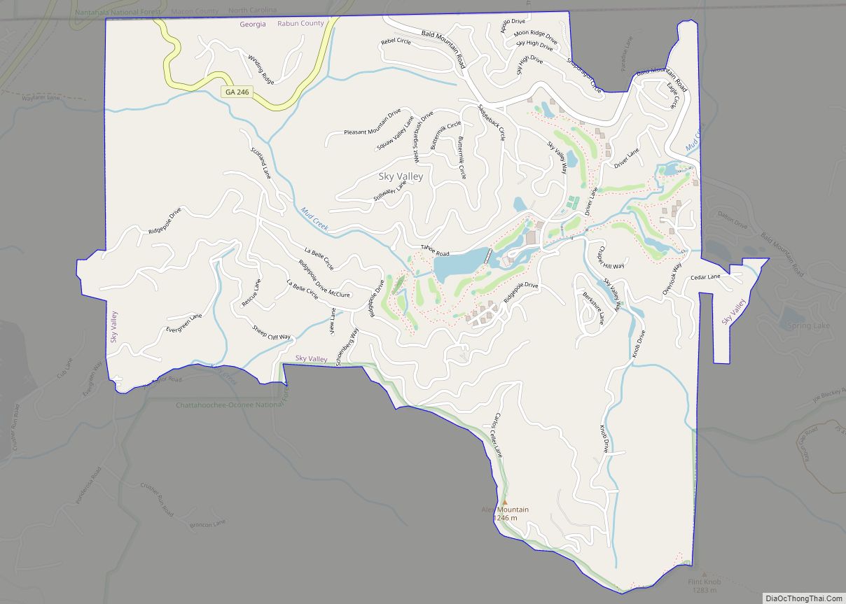
Sky Valley is a city in Rabun County, Georgia, United States and is nestled in a mountain valley on the northwest slopes of Rabun Bald, Georgia’s second-highest peak. Incorporated in March 1978, it recorded a total population of 250 as of the 2000 U.S. census, and 482 as of 2020. Sky Valley shares ZIP code ... Read more
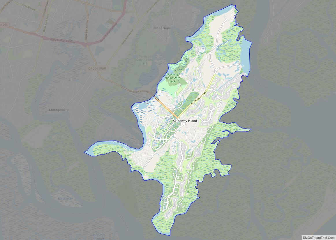
Skidaway Island is unincorporated community on a barrier island of the same name in Chatham County, Georgia, United States. Located south of Savannah, Skidaway Island is known for its waterfront properties and golf courses within The Landings, one of the largest gated communities in the country. The population was 9,310 at the 2020 census. For ... Read more
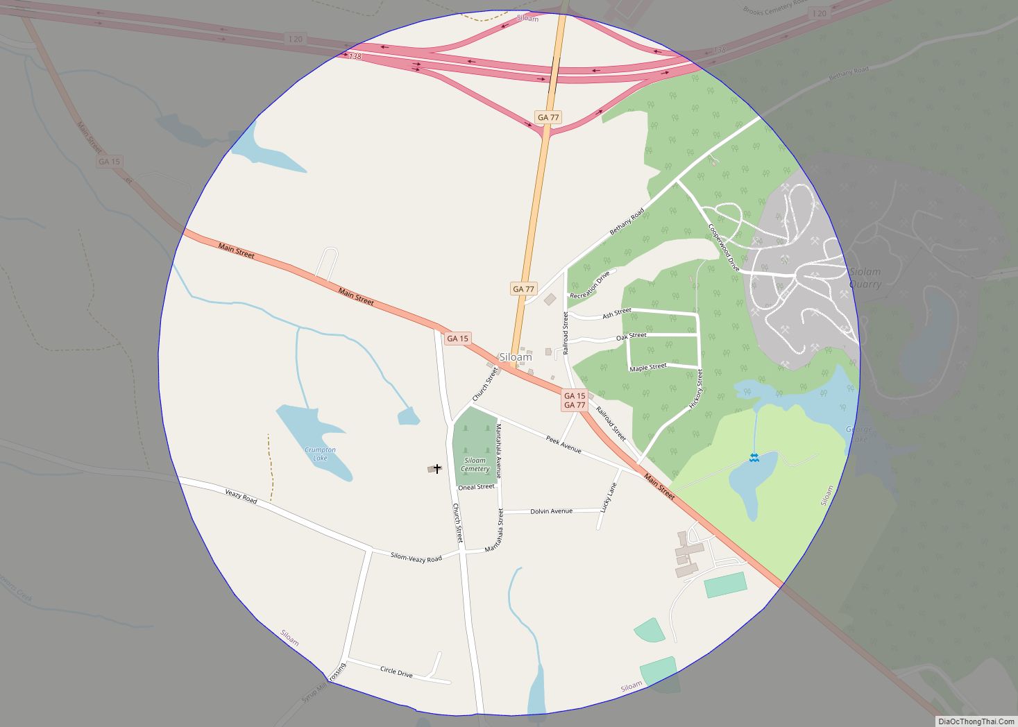
Siloam is a town in Greene County, Georgia, United States. The population was 282 at the 2010 census, down from 331 in 2000. Siloam town overview: Name: Siloam town LSAD Code: 43 LSAD Description: town (suffix) State: Georgia County: Greene County Elevation: 702 ft (214 m) Total Area: 1.24 sq mi (3.22 km²) Land Area: 1.21 sq mi (3.14 km²) Water Area: 0.03 sq mi ... Read more
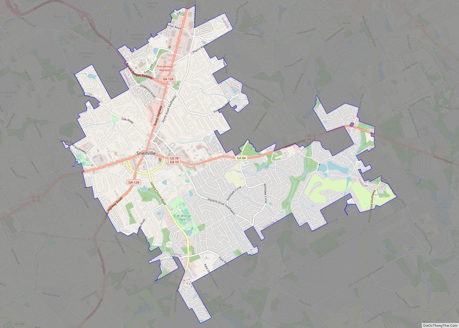
Snellville is a city in Gwinnett County, Georgia, United States, east of Atlanta. Its population was 18,242 at the 2010 census. It is a developed exurb of Atlanta and a part of the Atlanta metropolitan area, and is located roughly 33 miles east of downtown Atlanta via US 78 and Interstate 285. Snellville city overview: ... Read more
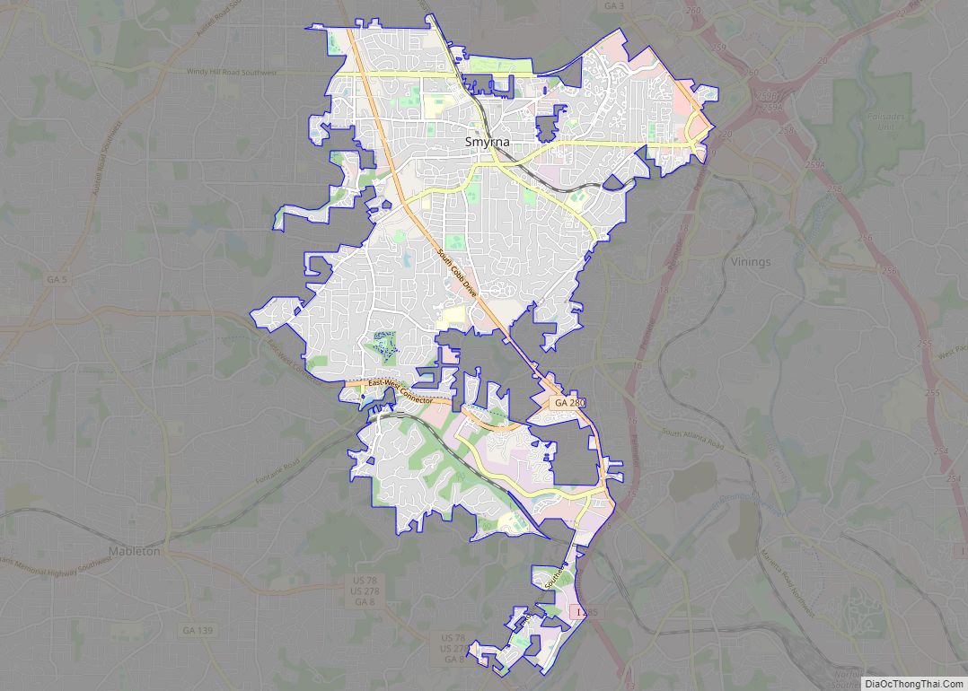
Smyrna is a city in Cobb County, Georgia, United States. It is located northwest of Atlanta, and is in the inner ring of the Atlanta Metropolitan Area. It is included in the Atlanta-Sandy Springs–Alpharetta MSA, which is included in the Atlanta–Athens-Clarke–Sandy Springs CSA. From 2000 to 2012, Smyrna grew by 28%. Historically it is one ... Read more
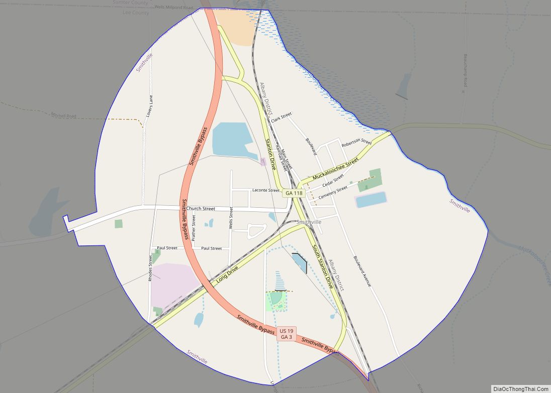
Smithville is a city in Lee County, Georgia, United States. The population was 575 at the 2010 census, down from 774 at the 2000 census. It is part of the Albany, Georgia Metropolitan Statistical Area. Smithville city overview: Name: Smithville city LSAD Code: 25 LSAD Description: city (suffix) State: Georgia County: Lee County Elevation: 328 ft ... Read more
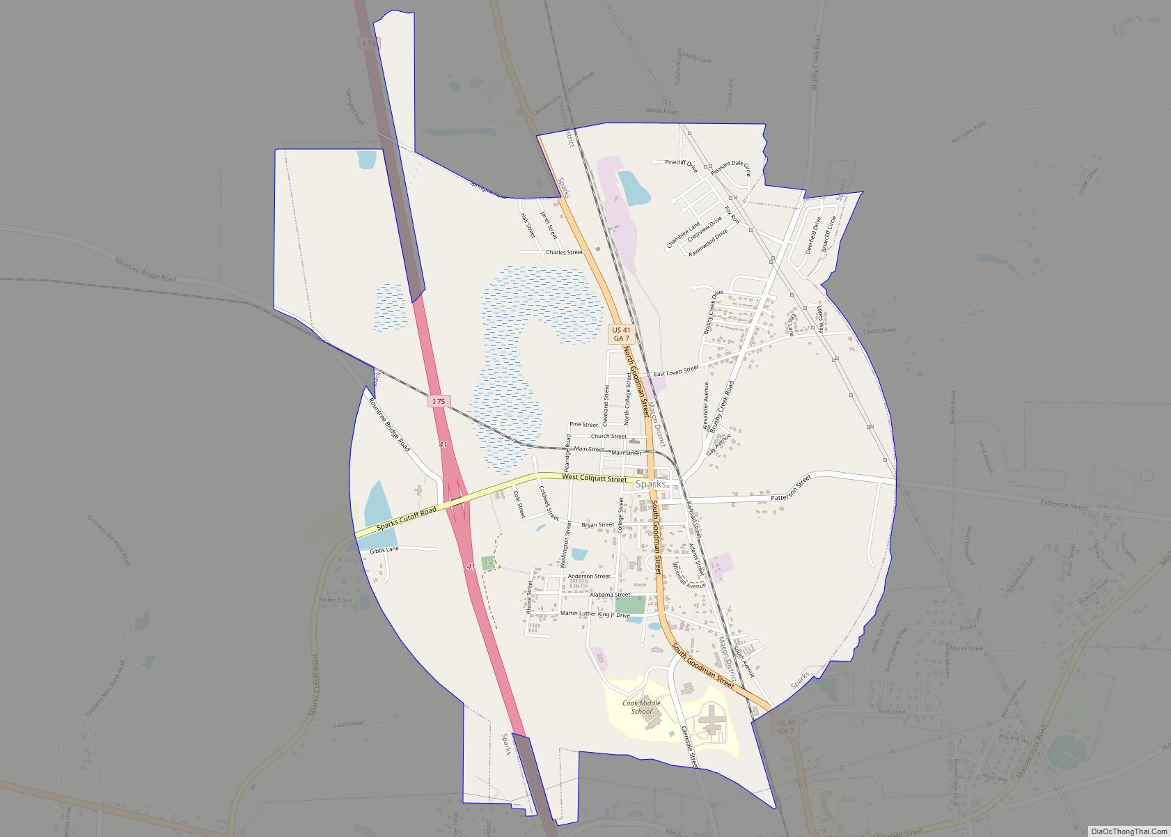
Sparks is a town in Cook County, Georgia, United States. The population was 2,052 at the 2010 census. Sparks town overview: Name: Sparks town LSAD Code: 43 LSAD Description: town (suffix) State: Georgia County: Cook County Elevation: 240 ft (73 m) Total Area: 4.14 sq mi (10.72 km²) Land Area: 3.97 sq mi (10.27 km²) Water Area: 0.17 sq mi (0.45 km²) Total Population: 2,043 Population ... Read more
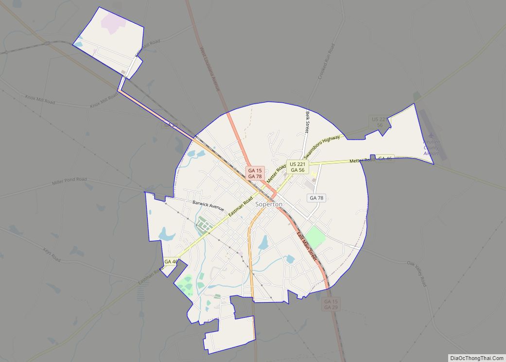
Soperton is a city in Treutlen County, Georgia, United States. The population was 3,115 at the 2010 census, up from 2,824 in 2000. The city is the county seat of Treutlen County. Soperton city overview: Name: Soperton city LSAD Code: 25 LSAD Description: city (suffix) State: Georgia County: Treutlen County Elevation: 295 ft (90 m) Total Area: ... Read more
