Shiloh is a city on the northeastern edge of Harris County, Georgia, United States. It is part of the Columbus, Georgia–Alabama Metropolitan Statistical Area. As of the 2020 census, the population was 402.
| Name: | Shiloh city |
|---|---|
| LSAD Code: | 25 |
| LSAD Description: | city (suffix) |
| State: | Georgia |
| County: | Harris County |
| Elevation: | 892 ft (272 m) |
| Total Area: | 2.22 sq mi (5.74 km²) |
| Land Area: | 2.19 sq mi (5.67 km²) |
| Water Area: | 0.03 sq mi (0.07 km²) |
| Total Population: | 402 |
| Population Density: | 183.65/sq mi (70.90/km²) |
| ZIP code: | 31826 |
| Area code: | 706 |
| FIPS code: | 1370428 |
| GNISfeature ID: | 333034 |
Online Interactive Map
Click on ![]() to view map in "full screen" mode.
to view map in "full screen" mode.
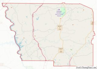
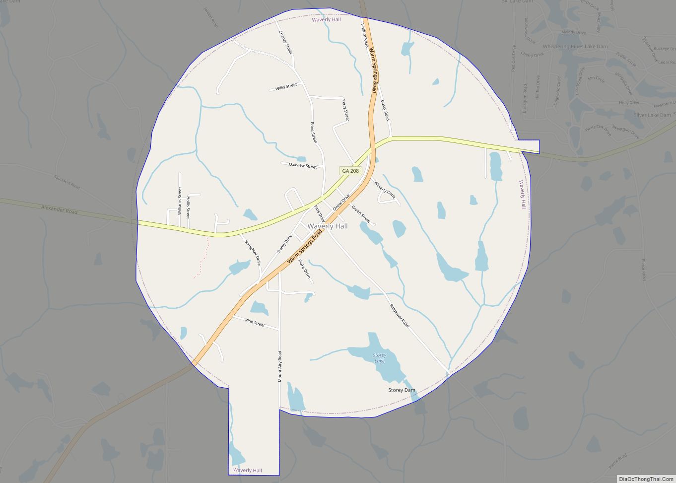
Shiloh location map. Where is Shiloh city?


History
A post office called Shiloh was established in 1874. The community was named after the local Shiloh Baptist Church, which in turn took its name from Shiloh, a place mentioned in the Hebrew Bible.
The Georgia General Assembly incorporated Shiloh in 1961.
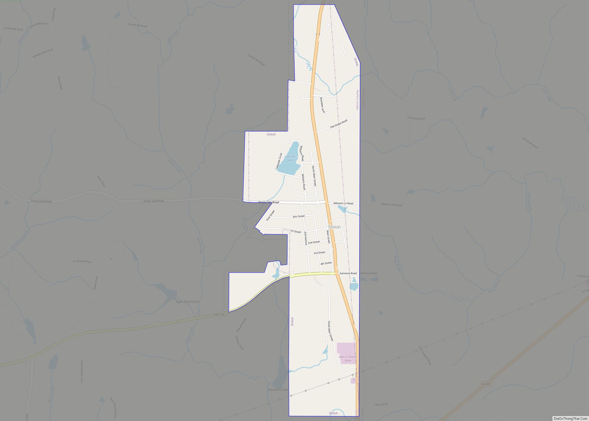
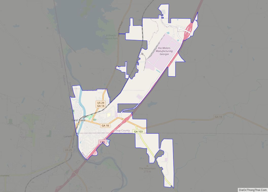
Shiloh Road Map

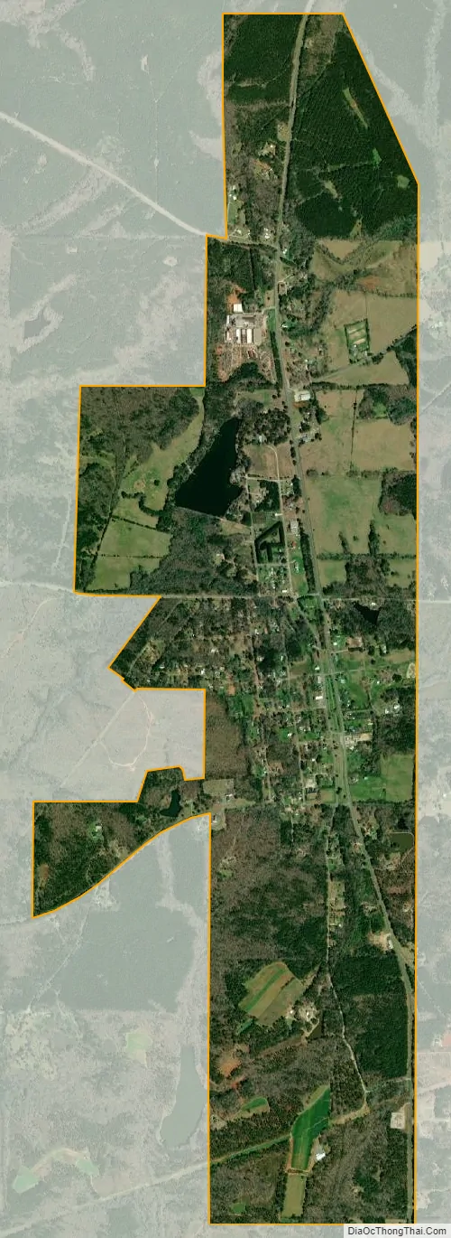
Shiloh city Satellite Map
Geography
Shiloh is located in the northeast corner of Harris County along Alternate U.S. Route 27, which leads southwest 33 miles (53 km) to Columbus and north 6 miles (10 km) to Warm Springs. Georgia State Route 85 runs east of the city, leading northeast 6 miles (10 km) to Manchester. Georgia State Route 116 intersects Alternate U.S. Route 27 in the city, leading east 10 miles (16 km) to Woodland and west 13 miles (21 km) to Hamilton. Atlanta is 78 miles (126 km) by road to the northeast. The city is located in the Piedmont region of the state.
According to the United States Census Bureau, Shiloh has a total area of 2.3 square miles (5.9 km), of which 0.03 square miles (0.07 km), or 1.19%, are water.
See also
Map of Georgia State and its subdivision:- Appling
- Atkinson
- Bacon
- Baker
- Baldwin
- Banks
- Barrow
- Bartow
- Ben Hill
- Berrien
- Bibb
- Bleckley
- Brantley
- Brooks
- Bryan
- Bulloch
- Burke
- Butts
- Calhoun
- Camden
- Candler
- Carroll
- Catoosa
- Charlton
- Chatham
- Chattahoochee
- Chattooga
- Cherokee
- Clarke
- Clay
- Clayton
- Clinch
- Cobb
- Coffee
- Colquitt
- Columbia
- Cook
- Coweta
- Crawford
- Crisp
- Dade
- Dawson
- Decatur
- DeKalb
- Dodge
- Dooly
- Dougherty
- Douglas
- Early
- Echols
- Effingham
- Elbert
- Emanuel
- Evans
- Fannin
- Fayette
- Floyd
- Forsyth
- Franklin
- Fulton
- Gilmer
- Glascock
- Glynn
- Gordon
- Grady
- Greene
- Gwinnett
- Habersham
- Hall
- Hancock
- Haralson
- Harris
- Hart
- Heard
- Henry
- Houston
- Irwin
- Jackson
- Jasper
- Jeff Davis
- Jefferson
- Jenkins
- Johnson
- Jones
- Lamar
- Lanier
- Laurens
- Lee
- Liberty
- Lincoln
- Long
- Lowndes
- Lumpkin
- Macon
- Madison
- Marion
- McDuffie
- McIntosh
- Meriwether
- Miller
- Mitchell
- Monroe
- Montgomery
- Morgan
- Murray
- Muscogee
- Newton
- Oconee
- Oglethorpe
- Paulding
- Peach
- Pickens
- Pierce
- Pike
- Polk
- Pulaski
- Putnam
- Quitman
- Rabun
- Randolph
- Richmond
- Rockdale
- Schley
- Screven
- Seminole
- Spalding
- Stephens
- Stewart
- Sumter
- Talbot
- Taliaferro
- Tattnall
- Taylor
- Telfair
- Terrell
- Thomas
- Tift
- Toombs
- Towns
- Treutlen
- Troup
- Turner
- Twiggs
- Union
- Upson
- Walker
- Walton
- Ware
- Warren
- Washington
- Wayne
- Webster
- Wheeler
- White
- Whitfield
- Wilcox
- Wilkes
- Wilkinson
- Worth
- Alabama
- Alaska
- Arizona
- Arkansas
- California
- Colorado
- Connecticut
- Delaware
- District of Columbia
- Florida
- Georgia
- Hawaii
- Idaho
- Illinois
- Indiana
- Iowa
- Kansas
- Kentucky
- Louisiana
- Maine
- Maryland
- Massachusetts
- Michigan
- Minnesota
- Mississippi
- Missouri
- Montana
- Nebraska
- Nevada
- New Hampshire
- New Jersey
- New Mexico
- New York
- North Carolina
- North Dakota
- Ohio
- Oklahoma
- Oregon
- Pennsylvania
- Rhode Island
- South Carolina
- South Dakota
- Tennessee
- Texas
- Utah
- Vermont
- Virginia
- Washington
- West Virginia
- Wisconsin
- Wyoming