Smyrna is a city in Cobb County, Georgia, United States. It is located northwest of Atlanta, and is in the inner ring of the Atlanta Metropolitan Area. It is included in the Atlanta-Sandy Springs–Alpharetta MSA, which is included in the Atlanta–Athens-Clarke–Sandy Springs CSA.
From 2000 to 2012, Smyrna grew by 28%. Historically it is one of the fastest-growing cities in the state, and one of the most densely populated cities in the metropolitan area. In the 2020 Census, Smyrna’s population was 55,663.
Smyrna was ranked #44 in Money‘s 2018 survey of “The Best Places to Live in America” for balancing economic growth, affordability, and quality of life.
| Name: | Smyrna city |
|---|---|
| LSAD Code: | 25 |
| LSAD Description: | city (suffix) |
| State: | Georgia |
| County: | Cobb County |
| Elevation: | 1,060 ft (323 m) |
| Total Area: | 15.61 sq mi (40.42 km²) |
| Land Area: | 15.56 sq mi (40.31 km²) |
| Water Area: | 0.04 sq mi (0.11 km²) |
| Total Population: | 55,663 |
| Population Density: | 3,600/sq mi (1,400/km²) |
| ZIP code: | 30080, 30081, 30082, 30126 |
| Area code: | 770/678/470 |
| FIPS code: | 1371492 |
| GNISfeature ID: | 0356541 |
| Website: | www.smyrnaga.gov |
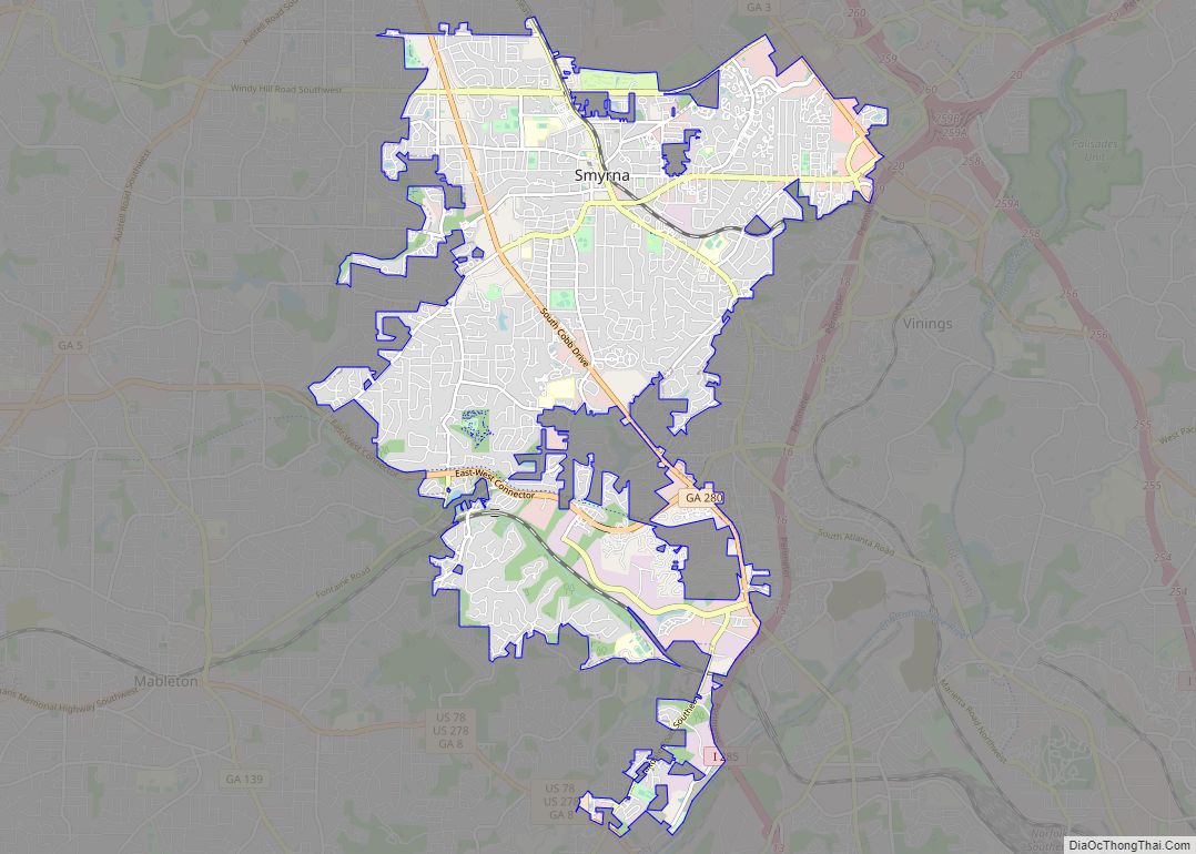
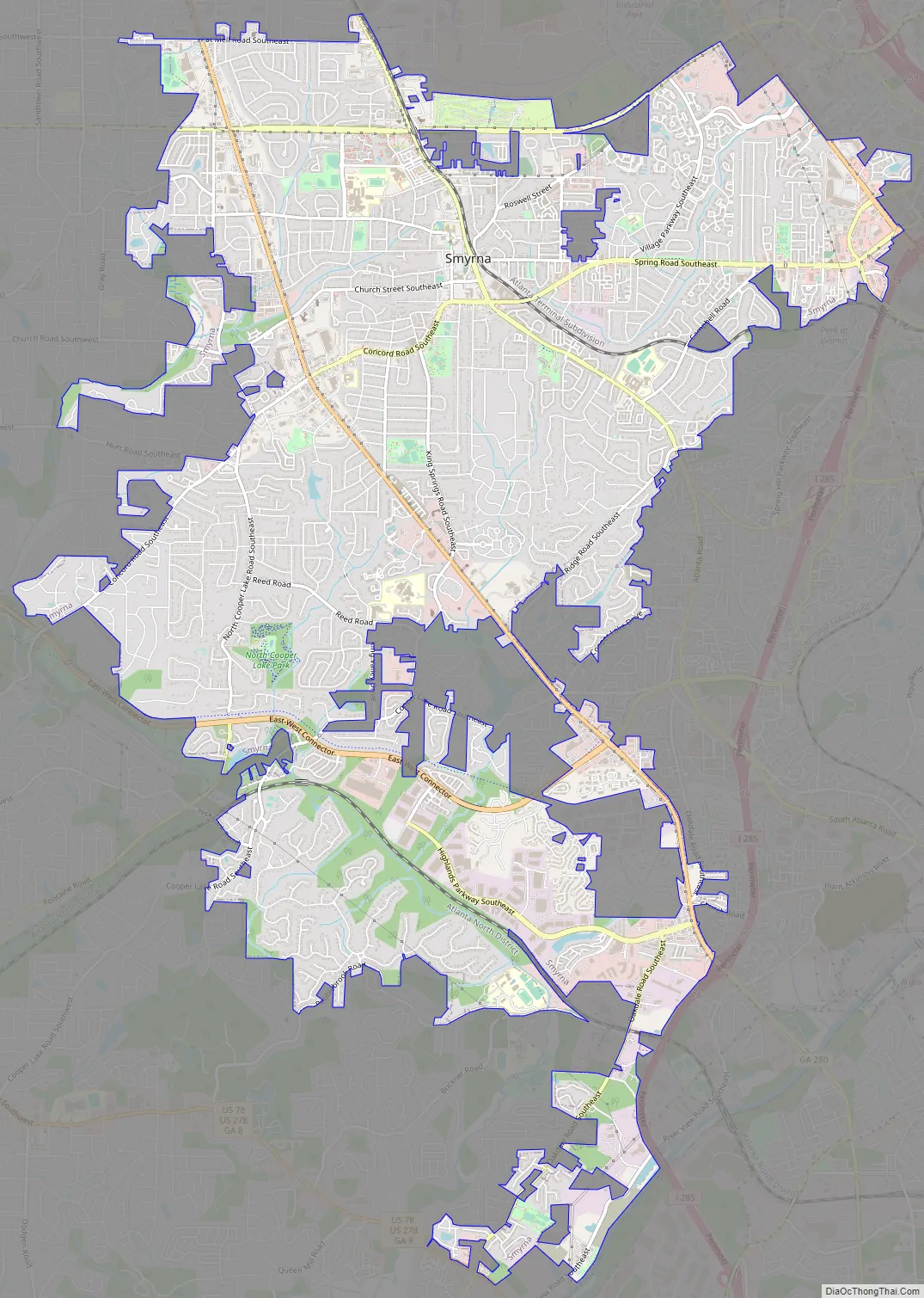
Online Interactive Map
Click on ![]() to view map in "full screen" mode.
to view map in "full screen" mode.
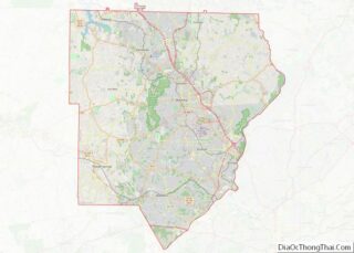
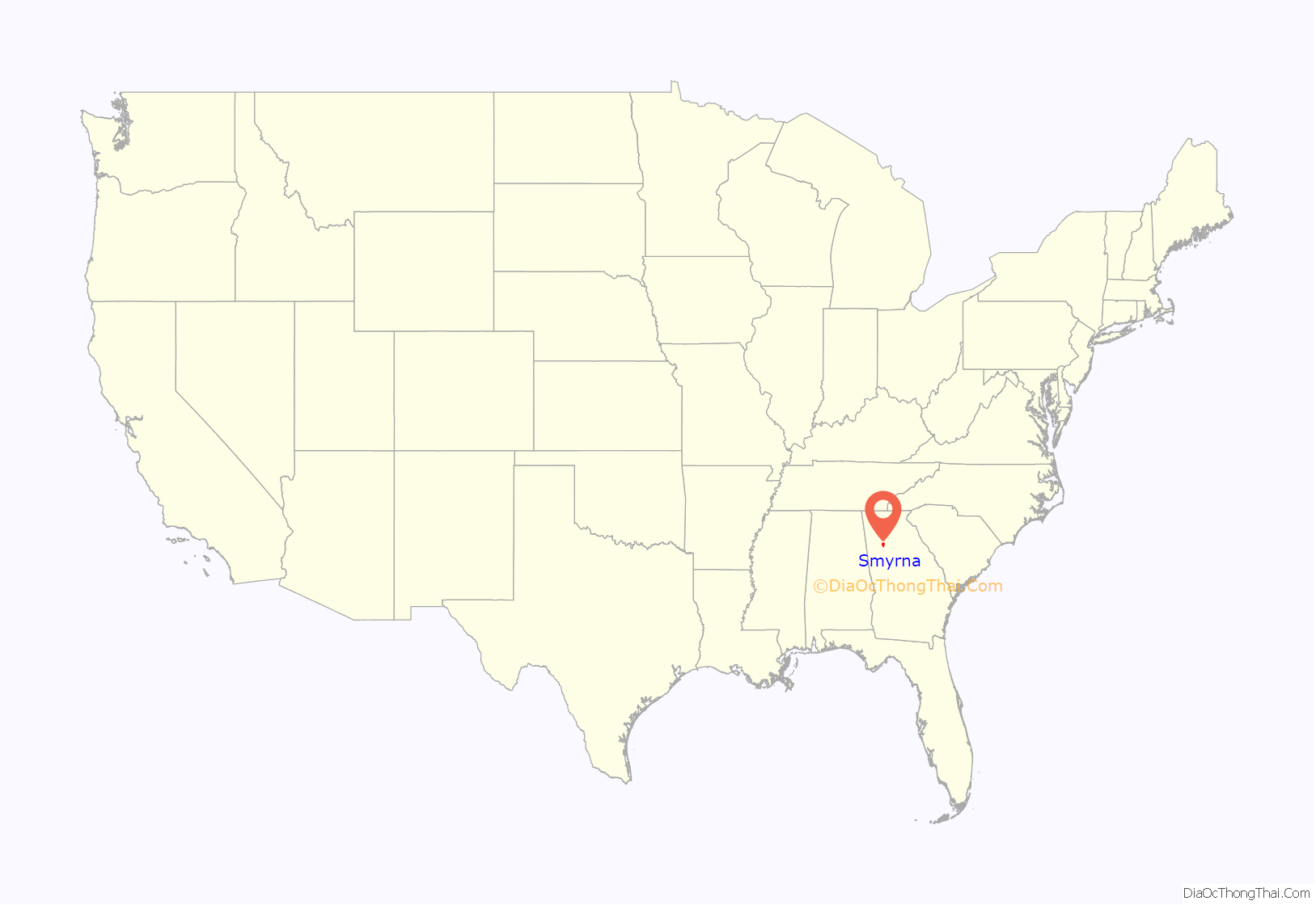
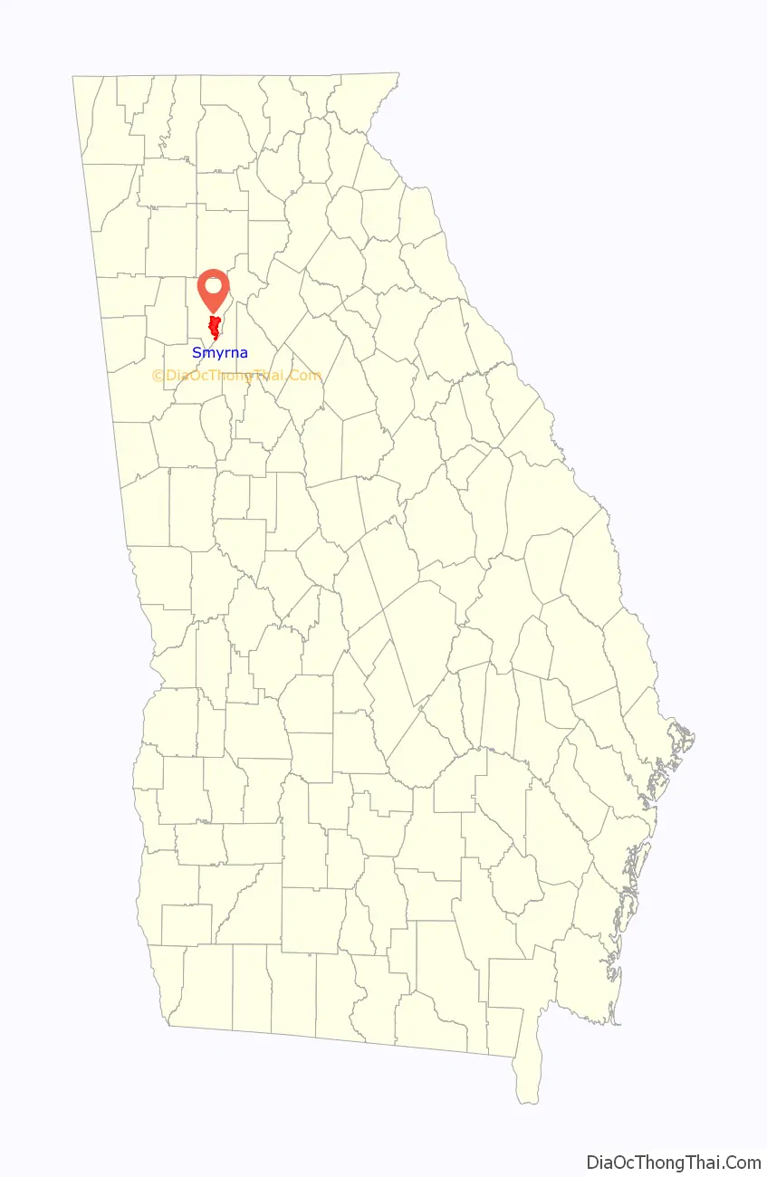
Smyrna location map. Where is Smyrna city?
History
Pioneers began settling the area in 1832. By the late 1830s, a religious encampment called Smyrna Camp Ground had become a popular travel destination and was well known throughout Georgia. It is a Greek name for the Biblical city of Smyrna, modern day Izmir in Turkey, the home of the Christian martyr Polycarp. After the completion of the Western and Atlantic Railroad in 1842, the area began to grow. It was known by several names until 1872—Varner’s Station, Ruff’s Siding, Neal Dow, and Ruff’s Station. The city was incorporated with the name Smyrna in 1872.
Two Civil War battles occurred in the area, the Battle of Smyrna Camp Ground and the Battle of Ruff’s Mill, both on July 4, 1864. The area’s businesses, homes, and 1849 covered bridge (since rebuilt and still in use today) were burned by Sherman’s troops.
The nearby Bell Bomber plant that produced B-29 bombers during World War II was reopened by Lockheed in 1951, and became a catalyst for growth. The city’s population grew during the next two decades, from 2,005 in 1950 to almost 20,000 by 1970.
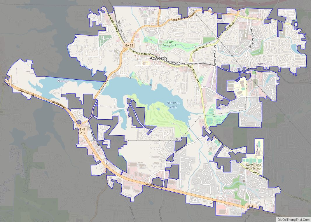
Smyrna Road Map
Smyrna city Satellite Map

Geography
Smyrna is part of the Atlanta metropolitan area, located about 1 mile (1.6 km) northwest of the Atlanta city limits, and with Smyrna’s downtown approximately 16 miles (25.7 km) from downtown Atlanta. Smyrna is located just west of the northern intersection of I-285 and I-75, which is the site of the edge city Cumberland and the Cobb Galleria.
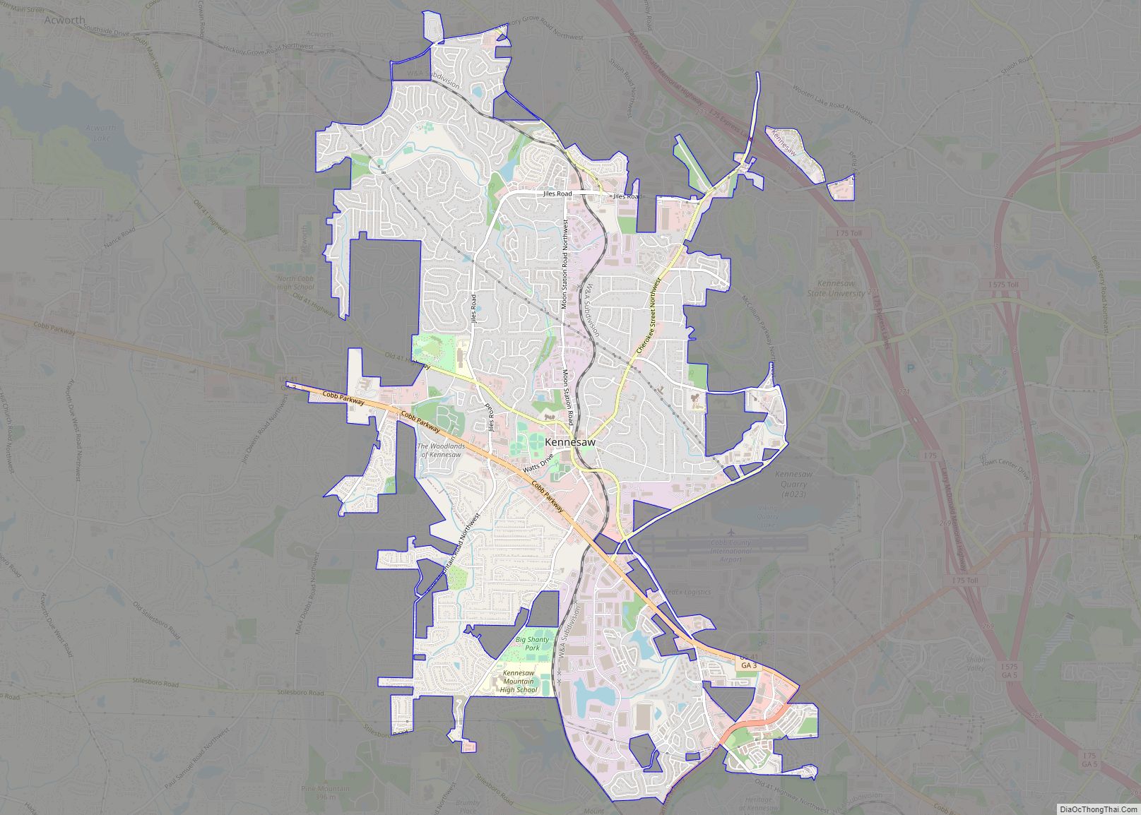
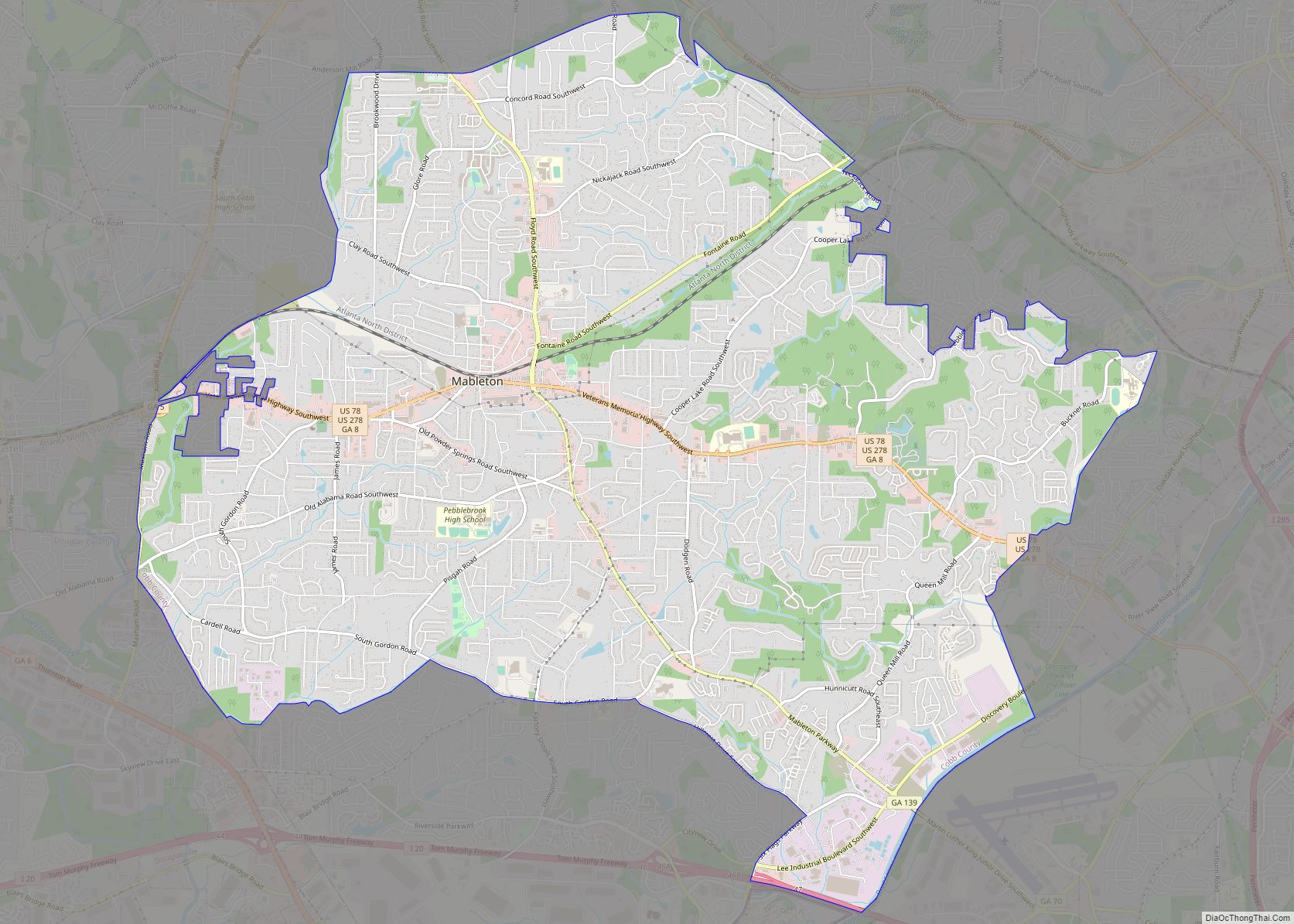
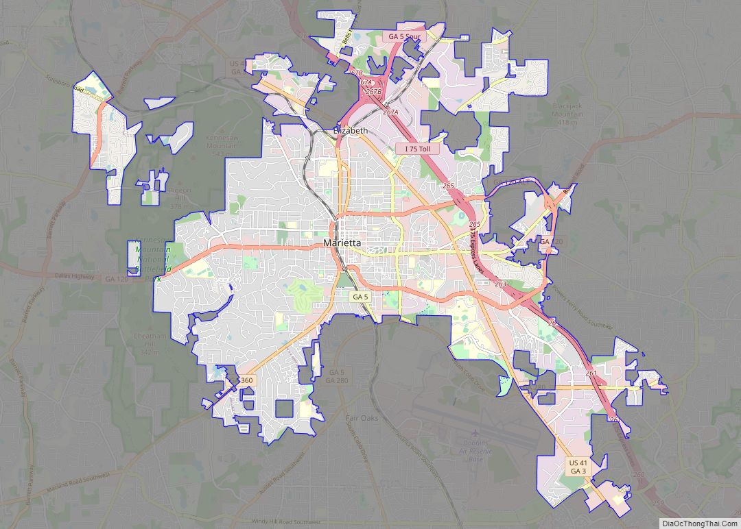
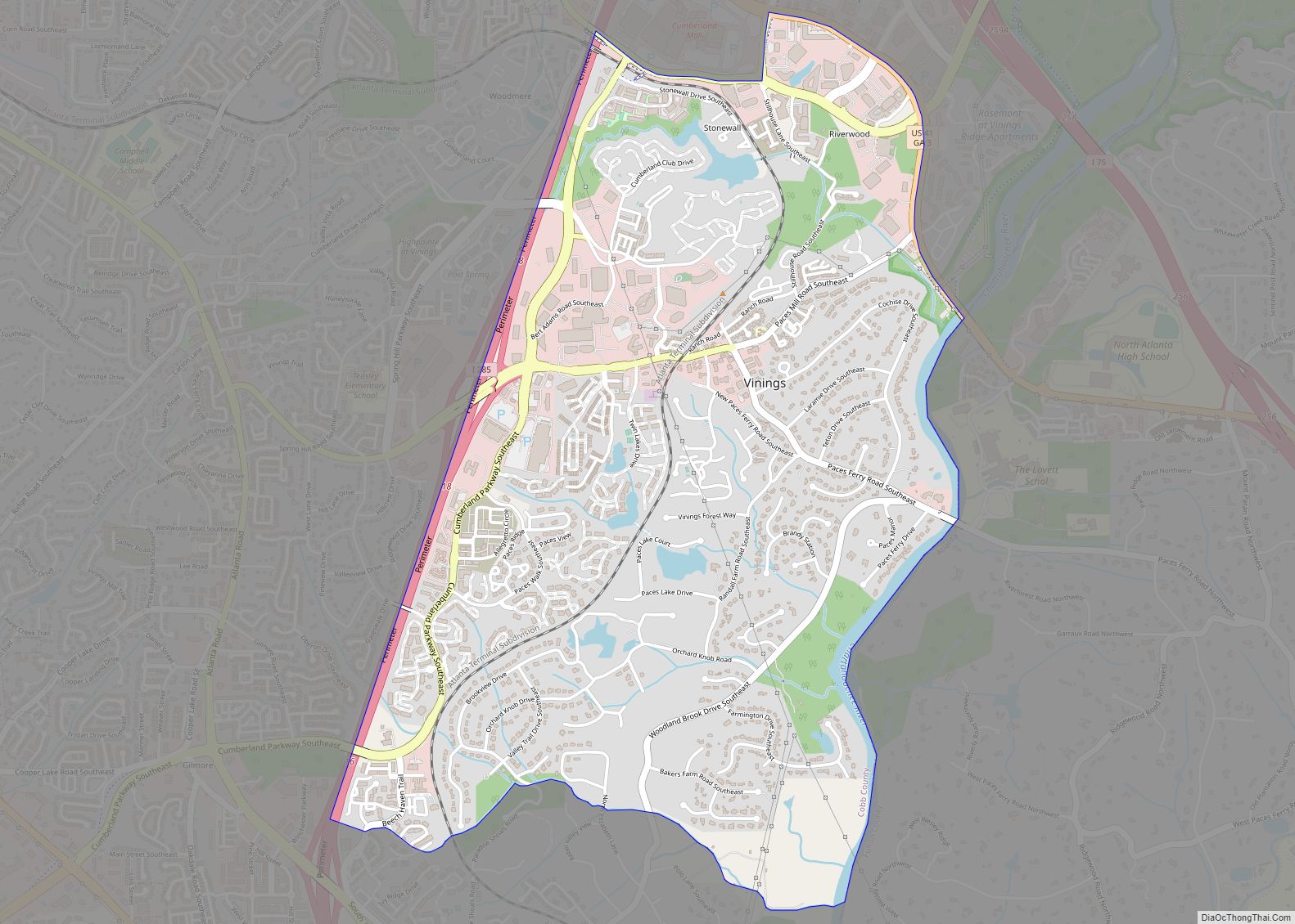
Smyrna is bordered by Vinings to the east, Marietta to the north and west, and Mableton to the south and southwest. The city of Sandy Springs and the affluent Atlanta neighborhoods of Paces and Buckhead are approximately within 10 miles of Smyrna’s center.
The center of Smyrna is located at 33°52′19″N 84°31′06″W / 33.871854°N 84.518380°W / 33.871854; -84.518380.
According to the United States Census Bureau, the city has a total area of 15.4 square miles (39.9 km), of which 15.4 square miles (39.8 km) is land and 0.04 square miles (0.1 km), or 0.23%, is water. The general terrain of the area is characteristic of the Piedmont region of Georgia, characterized by hills with broad ridges, sloping uplands, and relatively narrow valleys.
Flora
The city’s official symbol is the jonquil (a flower). Known as the “Jonquil City”, it derives this name from the thousands of jonquils that flourish in gardens and along the streets in early spring.
Climate
See also
Map of Georgia State and its subdivision:- Appling
- Atkinson
- Bacon
- Baker
- Baldwin
- Banks
- Barrow
- Bartow
- Ben Hill
- Berrien
- Bibb
- Bleckley
- Brantley
- Brooks
- Bryan
- Bulloch
- Burke
- Butts
- Calhoun
- Camden
- Candler
- Carroll
- Catoosa
- Charlton
- Chatham
- Chattahoochee
- Chattooga
- Cherokee
- Clarke
- Clay
- Clayton
- Clinch
- Cobb
- Coffee
- Colquitt
- Columbia
- Cook
- Coweta
- Crawford
- Crisp
- Dade
- Dawson
- Decatur
- DeKalb
- Dodge
- Dooly
- Dougherty
- Douglas
- Early
- Echols
- Effingham
- Elbert
- Emanuel
- Evans
- Fannin
- Fayette
- Floyd
- Forsyth
- Franklin
- Fulton
- Gilmer
- Glascock
- Glynn
- Gordon
- Grady
- Greene
- Gwinnett
- Habersham
- Hall
- Hancock
- Haralson
- Harris
- Hart
- Heard
- Henry
- Houston
- Irwin
- Jackson
- Jasper
- Jeff Davis
- Jefferson
- Jenkins
- Johnson
- Jones
- Lamar
- Lanier
- Laurens
- Lee
- Liberty
- Lincoln
- Long
- Lowndes
- Lumpkin
- Macon
- Madison
- Marion
- McDuffie
- McIntosh
- Meriwether
- Miller
- Mitchell
- Monroe
- Montgomery
- Morgan
- Murray
- Muscogee
- Newton
- Oconee
- Oglethorpe
- Paulding
- Peach
- Pickens
- Pierce
- Pike
- Polk
- Pulaski
- Putnam
- Quitman
- Rabun
- Randolph
- Richmond
- Rockdale
- Schley
- Screven
- Seminole
- Spalding
- Stephens
- Stewart
- Sumter
- Talbot
- Taliaferro
- Tattnall
- Taylor
- Telfair
- Terrell
- Thomas
- Tift
- Toombs
- Towns
- Treutlen
- Troup
- Turner
- Twiggs
- Union
- Upson
- Walker
- Walton
- Ware
- Warren
- Washington
- Wayne
- Webster
- Wheeler
- White
- Whitfield
- Wilcox
- Wilkes
- Wilkinson
- Worth
- Alabama
- Alaska
- Arizona
- Arkansas
- California
- Colorado
- Connecticut
- Delaware
- District of Columbia
- Florida
- Georgia
- Hawaii
- Idaho
- Illinois
- Indiana
- Iowa
- Kansas
- Kentucky
- Louisiana
- Maine
- Maryland
- Massachusetts
- Michigan
- Minnesota
- Mississippi
- Missouri
- Montana
- Nebraska
- Nevada
- New Hampshire
- New Jersey
- New Mexico
- New York
- North Carolina
- North Dakota
- Ohio
- Oklahoma
- Oregon
- Pennsylvania
- Rhode Island
- South Carolina
- South Dakota
- Tennessee
- Texas
- Utah
- Vermont
- Virginia
- Washington
- West Virginia
- Wisconsin
- Wyoming