Smithville is a city in Lee County, Georgia, United States. The population was 575 at the 2010 census, down from 774 at the 2000 census. It is part of the Albany, Georgia Metropolitan Statistical Area.
| Name: | Smithville city |
|---|---|
| LSAD Code: | 25 |
| LSAD Description: | city (suffix) |
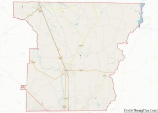
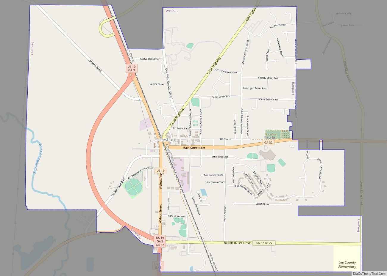
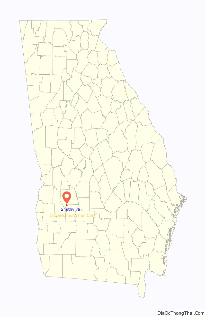
| State: | Georgia |
| County: | Lee County |
| Elevation: | 328 ft (100 m) |
| Total Area: | 2.54 sq mi (6.59 km²) |
| Land Area: | 2.54 sq mi (6.59 km²) |
| Water Area: | 0.00 sq mi (0.00 km²) |
| Total Population: | 593 |
| Population Density: | 233.10/sq mi (89.98/km²) |
| ZIP code: | 31787 |
| Area code: | 229 |
| FIPS code: | 1371464 |
| GNISfeature ID: | 0356540 |
| Website: | georgia.gov/cities-counties/smithville |
Online Interactive Map
Click on ![]() to view map in "full screen" mode.
to view map in "full screen" mode.
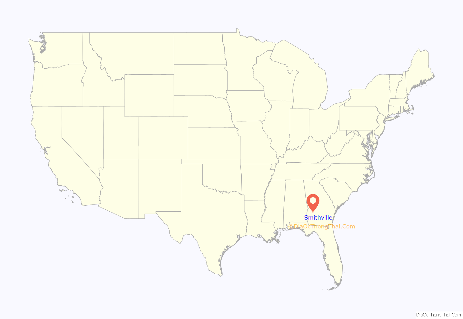
Smithville location map. Where is Smithville city?
History
A post office was established at Smithville in 1871. The community was named after the local Smith family. The Georgia General Assembly incorporated Smithville as a town in 1863.
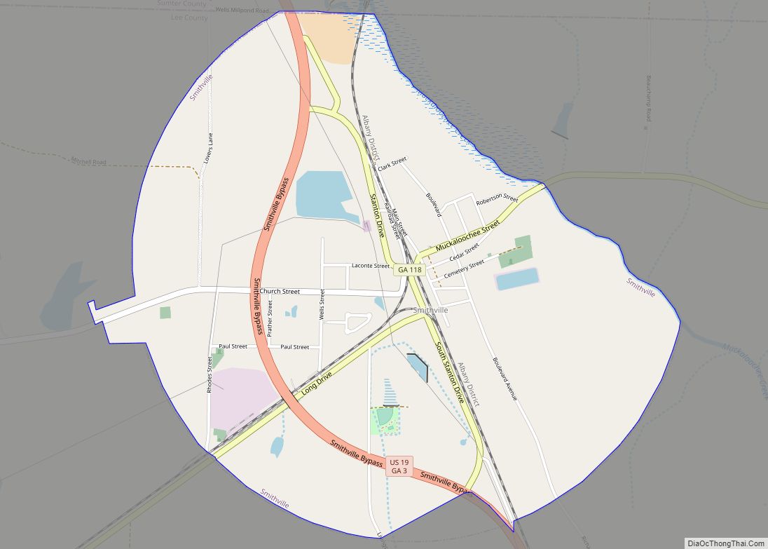
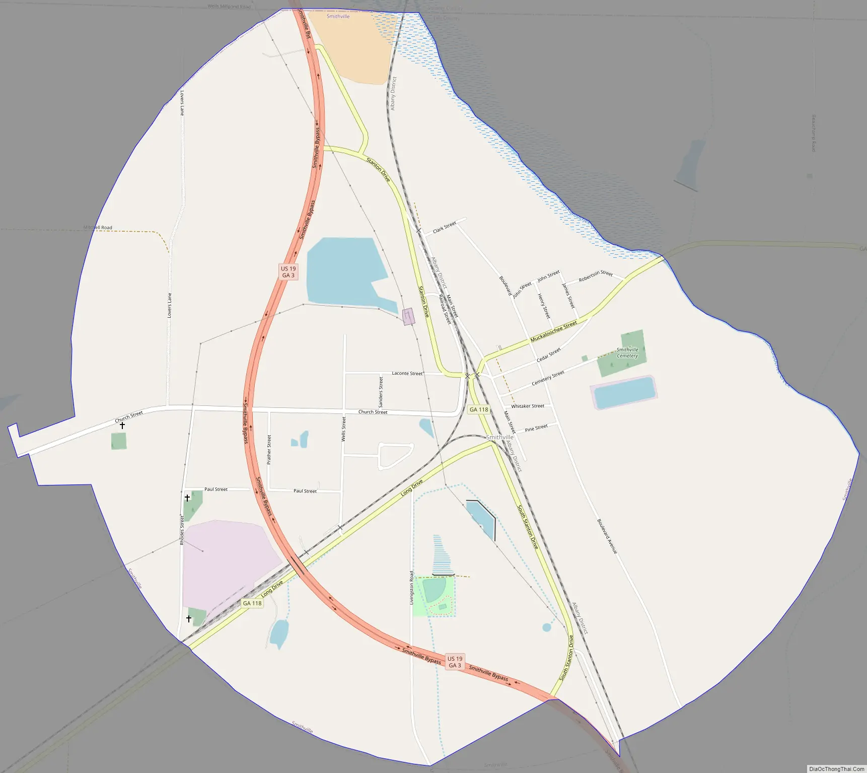
Smithville Road Map
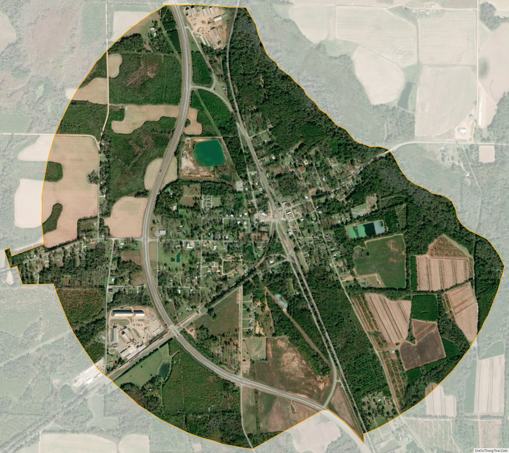
Smithville city Satellite Map
Geography
Smithville is located in northwestern Lee County at 31°54′7″N 84°15′19″W / 31.90194°N 84.25528°W / 31.90194; -84.25528 (31.902073, -84.255336). It is bordered to the north by the Sumter County line.
U.S. Route 19 runs through the west side of the city, leading south 12 miles (19 km) to Leesburg, the Lee county seat, and north 13 miles (21 km) to Americus. Georgia State Route 118 passes through the center of Smithville, leading east 12 miles (19 km) to Leslie and southwest 14 miles (23 km) to Dawson.
According to the United States Census Bureau, the city has a total area of 2.5 square miles (6.5 km), all of it recorded as land. Muckaloochee Creek forms the northeast border of the city. The creek is a south-flowing tributary of Muckalee Creek and part of the Flint River watershed.
See also
Map of Georgia State and its subdivision:- Appling
- Atkinson
- Bacon
- Baker
- Baldwin
- Banks
- Barrow
- Bartow
- Ben Hill
- Berrien
- Bibb
- Bleckley
- Brantley
- Brooks
- Bryan
- Bulloch
- Burke
- Butts
- Calhoun
- Camden
- Candler
- Carroll
- Catoosa
- Charlton
- Chatham
- Chattahoochee
- Chattooga
- Cherokee
- Clarke
- Clay
- Clayton
- Clinch
- Cobb
- Coffee
- Colquitt
- Columbia
- Cook
- Coweta
- Crawford
- Crisp
- Dade
- Dawson
- Decatur
- DeKalb
- Dodge
- Dooly
- Dougherty
- Douglas
- Early
- Echols
- Effingham
- Elbert
- Emanuel
- Evans
- Fannin
- Fayette
- Floyd
- Forsyth
- Franklin
- Fulton
- Gilmer
- Glascock
- Glynn
- Gordon
- Grady
- Greene
- Gwinnett
- Habersham
- Hall
- Hancock
- Haralson
- Harris
- Hart
- Heard
- Henry
- Houston
- Irwin
- Jackson
- Jasper
- Jeff Davis
- Jefferson
- Jenkins
- Johnson
- Jones
- Lamar
- Lanier
- Laurens
- Lee
- Liberty
- Lincoln
- Long
- Lowndes
- Lumpkin
- Macon
- Madison
- Marion
- McDuffie
- McIntosh
- Meriwether
- Miller
- Mitchell
- Monroe
- Montgomery
- Morgan
- Murray
- Muscogee
- Newton
- Oconee
- Oglethorpe
- Paulding
- Peach
- Pickens
- Pierce
- Pike
- Polk
- Pulaski
- Putnam
- Quitman
- Rabun
- Randolph
- Richmond
- Rockdale
- Schley
- Screven
- Seminole
- Spalding
- Stephens
- Stewart
- Sumter
- Talbot
- Taliaferro
- Tattnall
- Taylor
- Telfair
- Terrell
- Thomas
- Tift
- Toombs
- Towns
- Treutlen
- Troup
- Turner
- Twiggs
- Union
- Upson
- Walker
- Walton
- Ware
- Warren
- Washington
- Wayne
- Webster
- Wheeler
- White
- Whitfield
- Wilcox
- Wilkes
- Wilkinson
- Worth
- Alabama
- Alaska
- Arizona
- Arkansas
- California
- Colorado
- Connecticut
- Delaware
- District of Columbia
- Florida
- Georgia
- Hawaii
- Idaho
- Illinois
- Indiana
- Iowa
- Kansas
- Kentucky
- Louisiana
- Maine
- Maryland
- Massachusetts
- Michigan
- Minnesota
- Mississippi
- Missouri
- Montana
- Nebraska
- Nevada
- New Hampshire
- New Jersey
- New Mexico
- New York
- North Carolina
- North Dakota
- Ohio
- Oklahoma
- Oregon
- Pennsylvania
- Rhode Island
- South Carolina
- South Dakota
- Tennessee
- Texas
- Utah
- Vermont
- Virginia
- Washington
- West Virginia
- Wisconsin
- Wyoming