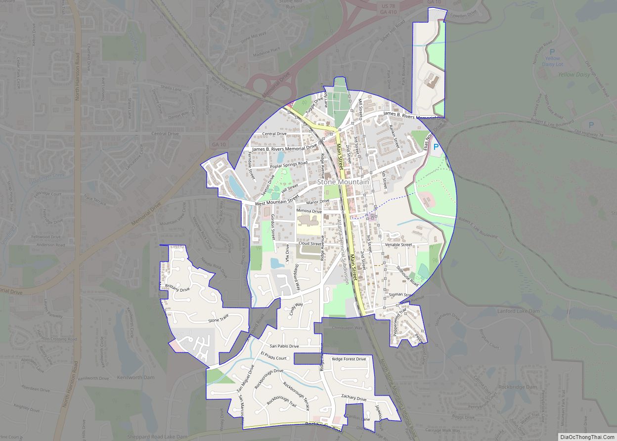
Stone Mountain is a city in DeKalb County, Georgia, United States. The population was 6,703 according to the 2020 US Census. Stone Mountain is in the eastern part of DeKalb County and is a suburb of Atlanta that encompasses nearly 1.7 square miles. It lies near and touches the western base of the geological formation ... Read more
Georgia Cities and Places
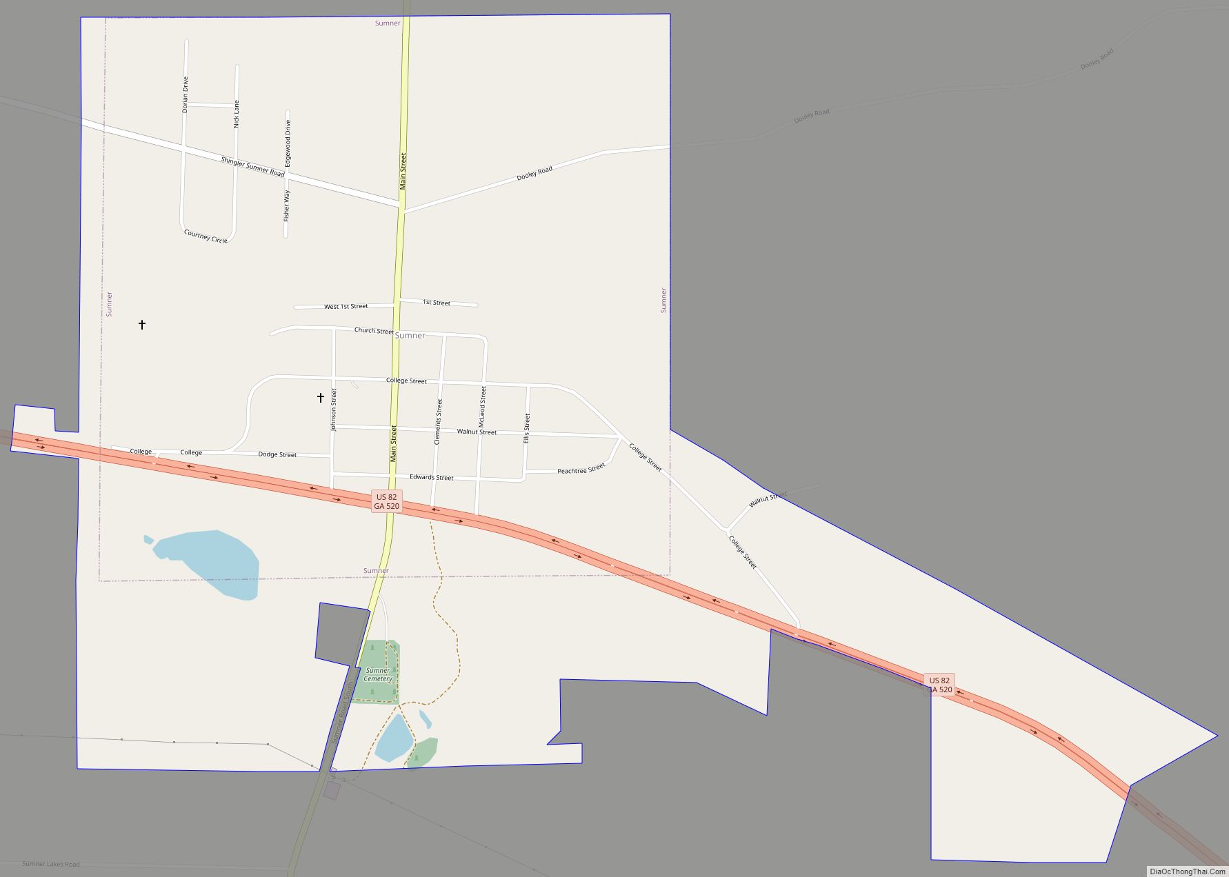
Sumner is a town in Worth County, Georgia, United States. The population was 427 at the 2010 census. It is part of the Albany, Georgia Metropolitan Statistical Area. Sumner High School is listed on the National Register of Historic Places. Sumner town overview: Name: Sumner town LSAD Code: 43 LSAD Description: town (suffix) State: Georgia ... Read more
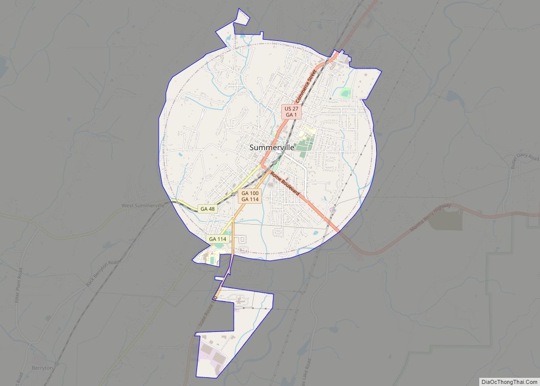
Summerville is a city and the county seat of Chattooga County, Georgia, United States. The population was 4,534 at the 2010 census. Summerville city overview: Name: Summerville city LSAD Code: 25 LSAD Description: city (suffix) State: Georgia County: Chattooga County Elevation: 650 ft (198 m) Total Area: 4.01 sq mi (10.40 km²) Land Area: 4.01 sq mi (10.40 km²) Water Area: 0.00 sq mi (0.00 km²) ... Read more
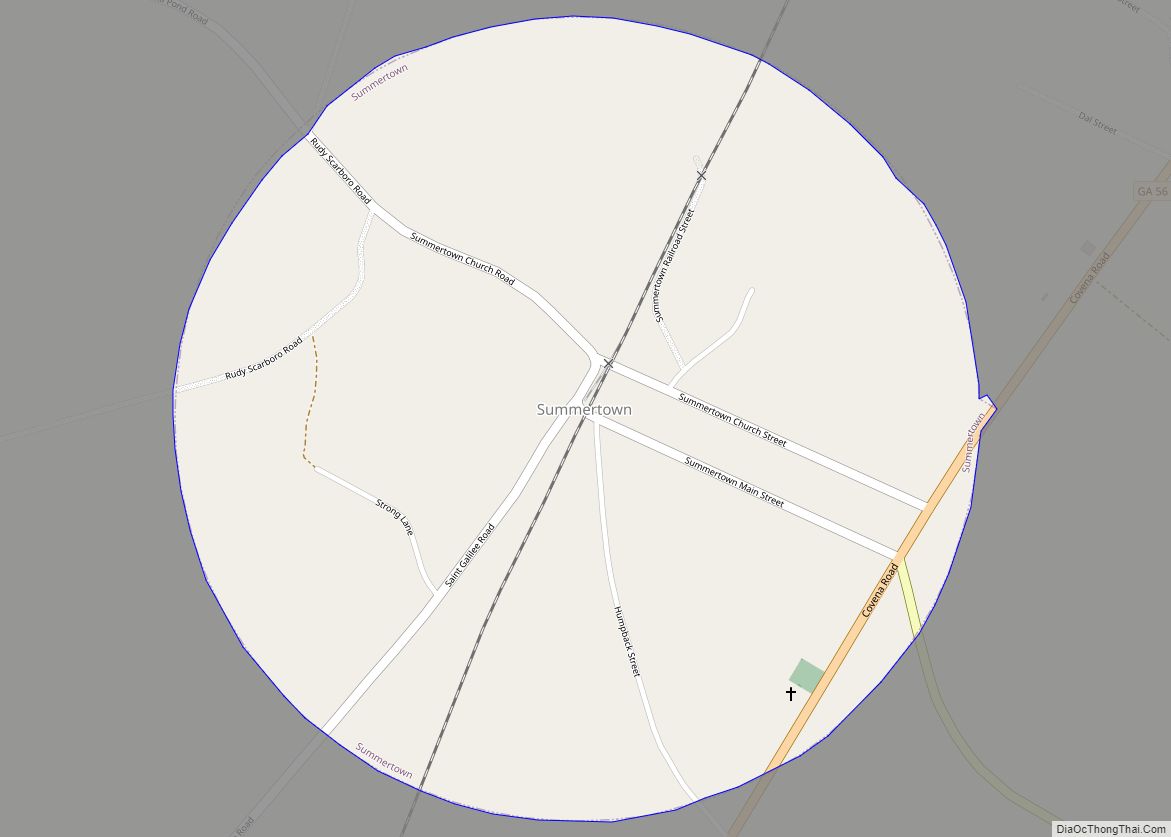
Summertown is a city in Emanuel County, Georgia, United States. The population was 160 at the 2010 census. Summertown city overview: Name: Summertown city LSAD Code: 25 LSAD Description: city (suffix) State: Georgia County: Emanuel County Elevation: 253 ft (77 m) Total Area: 0.79 sq mi (2.05 km²) Land Area: 0.79 sq mi (2.04 km²) Water Area: 0.00 sq mi (0.01 km²) Total Population: 121 Population ... Read more
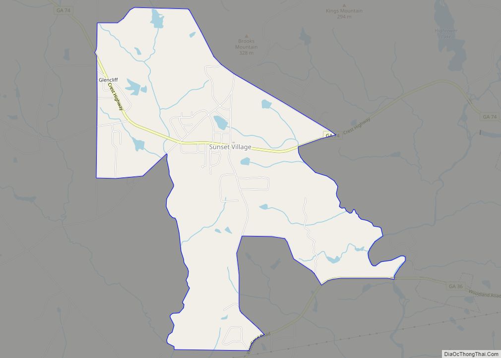
Sunset Village is a census-designated place (CDP) in Upson County, Georgia, United States. The population was 871 at the 2000 census. Sunset Village CDP overview: Name: Sunset Village CDP LSAD Code: 57 LSAD Description: CDP (suffix) State: Georgia County: Upson County Elevation: 764 ft (233 m) Total Area: 4.90 sq mi (12.68 km²) Land Area: 4.80 sq mi (12.44 km²) Water Area: 0.10 sq mi ... Read more
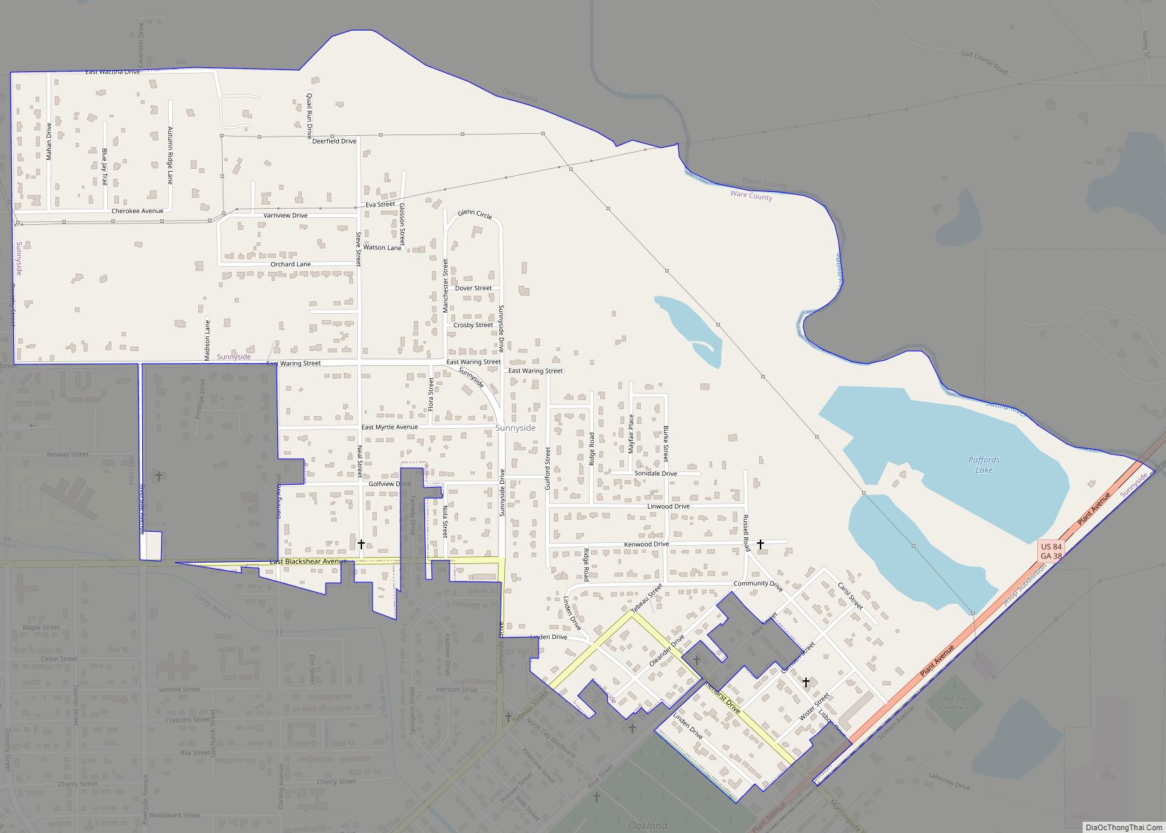
Sunnyside is a census-designated place (CDP) in Ware County, Georgia, United States. The population was 1,385 at the 2000 census. It is part of the Waycross Micropolitan Statistical Area. Sunnyside CDP overview: Name: Sunnyside CDP LSAD Code: 57 LSAD Description: CDP (suffix) State: Georgia County: Ware County Total Area: 1.5 sq mi (3.8 km²) Land Area: 1.4 sq mi (3.7 km²) ... Read more
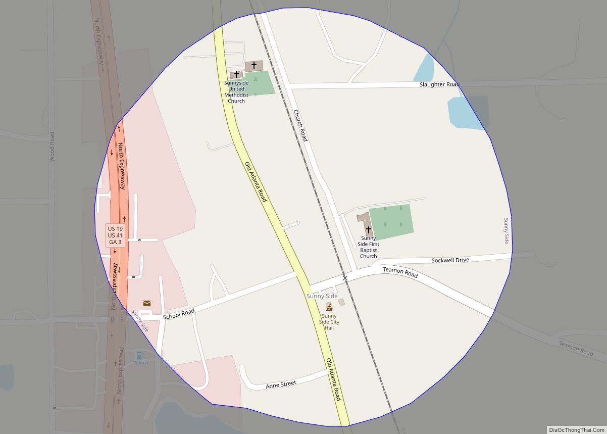
Sunny Side is a city in Spalding County, Georgia, United States. The population was 142 at the 2000 census. Sunny Side city overview: Name: Sunny Side city LSAD Code: 25 LSAD Description: city (suffix) State: Georgia County: Spalding County Total Area: 0.20 sq mi (0.52 km²) Land Area: 0.20 sq mi (0.51 km²) Water Area: 0.00 sq mi (0.01 km²) Total Population: 203 Population ... Read more
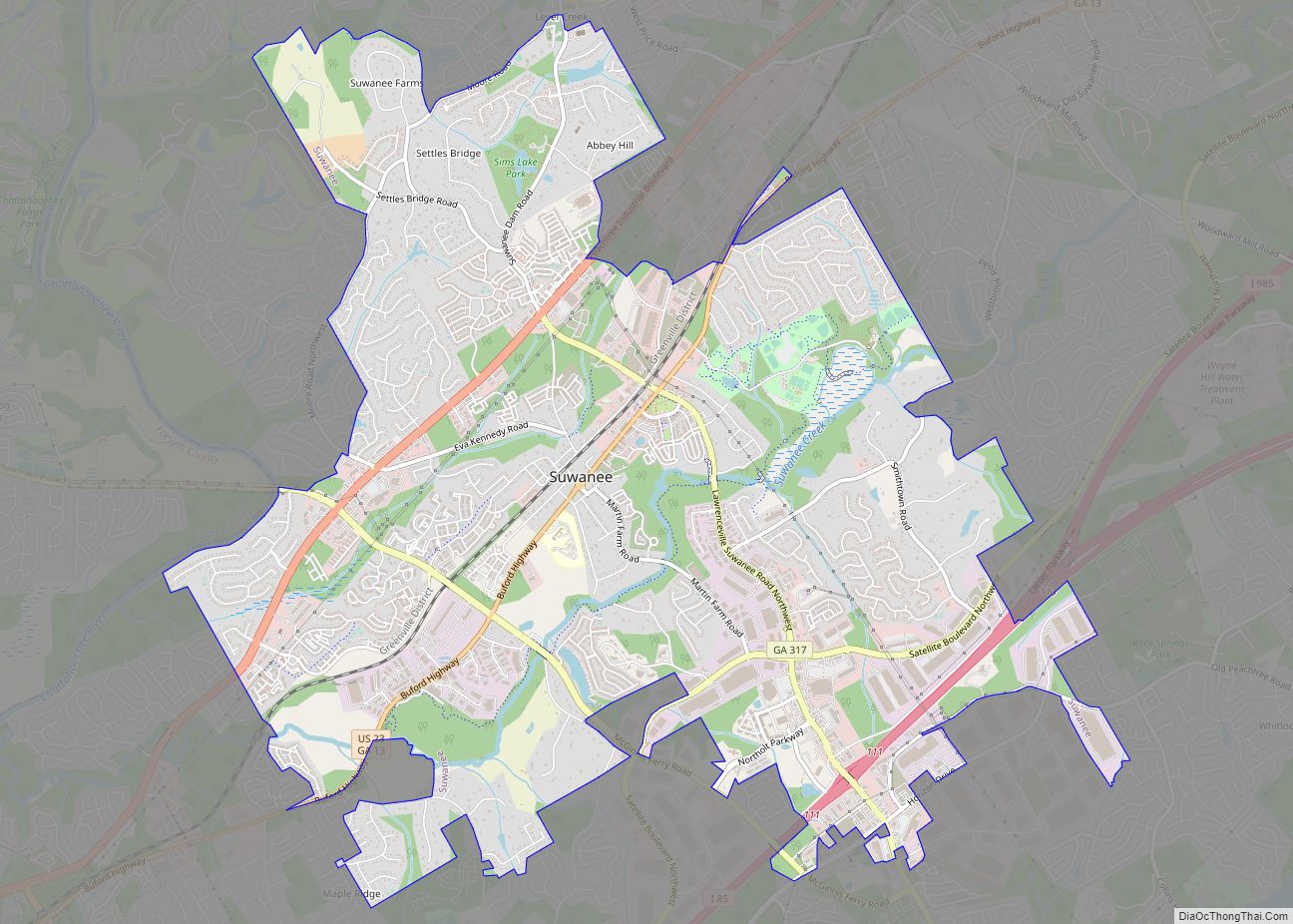
Suwanee is a city in Gwinnett County and a part of the Atlanta metropolitan area in the U.S. state of Georgia. As of the 2010 census, the population was 15,355; this had grown to an estimated 20,907 as of 2019. Portions of Forsyth and Fulton counties also have Suwanee and its ZIP Code (30024) as ... Read more
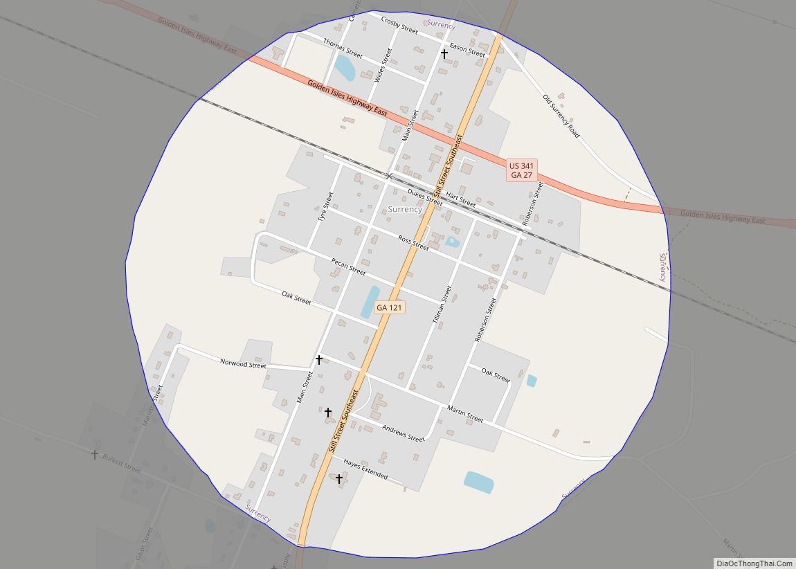
Surrency is a town in Appling County, Georgia, United States. The population was 201 at the 2010 census. Surrency town overview: Name: Surrency town LSAD Code: 43 LSAD Description: town (suffix) State: Georgia County: Appling County Elevation: 184 ft (56 m) Total Area: 0.78 sq mi (2.01 km²) Land Area: 0.77 sq mi (2.00 km²) Water Area: 0.00 sq mi (0.00 km²) Total Population: 194 Population ... Read more
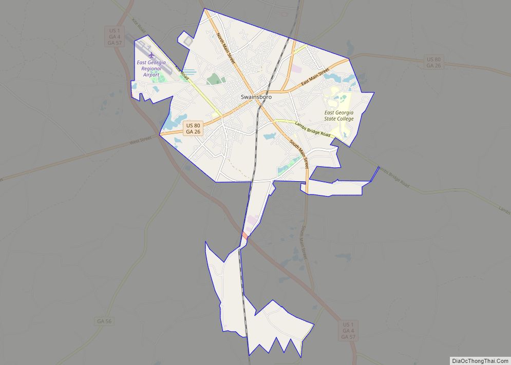
Swainsboro is a city in Emanuel County, Georgia, United States. As of the 2020 census, the city had a population of 7,425. The city is the county seat of Emanuel County. Swainsboro city overview: Name: Swainsboro city LSAD Code: 25 LSAD Description: city (suffix) State: Georgia County: Emanuel County Elevation: 325 ft (99 m) Total Area: 12.94 sq mi ... Read more
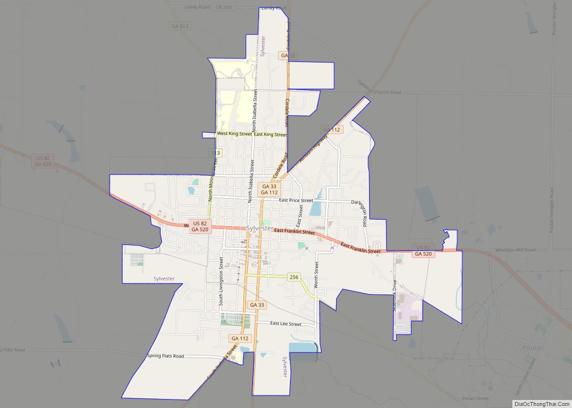
Sylvester is the county seat of Worth County, Georgia, United States. The population was 6,188 at the 2010 and at 5,865 (2019) census. The city is the county seat and business center of Worth County and is claimed to be the Peanut Capital of the World due to its peanut production. Sylvester city overview: Name: ... Read more
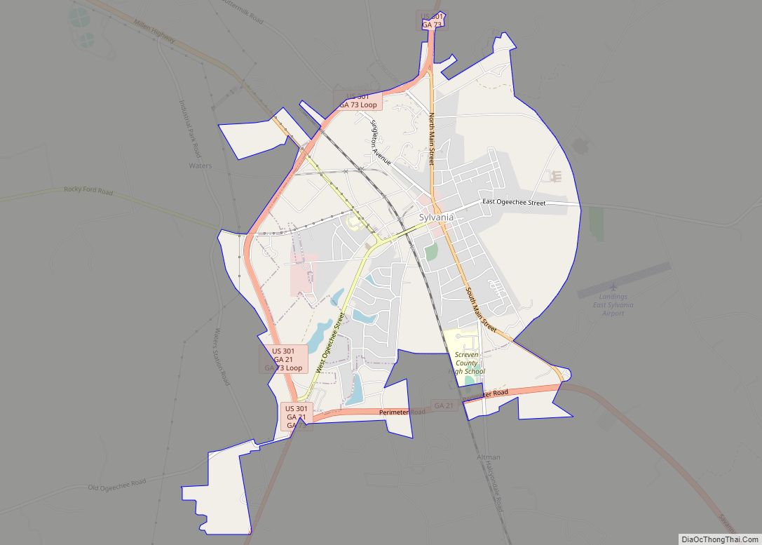
Sylvania is a town in and the county seat of Screven County, Georgia, United States. The population was 2,956 at the 2010 census. Sylvania city overview: Name: Sylvania city LSAD Code: 25 LSAD Description: city (suffix) State: Georgia County: Screven County Elevation: 230 ft (70 m) Total Area: 5.05 sq mi (13.08 km²) Land Area: 4.98 sq mi (12.89 km²) Water Area: 0.07 sq mi ... Read more
