Summerville is a city and the county seat of Chattooga County, Georgia, United States. The population was 4,534 at the 2010 census.
| Name: | Summerville city |
|---|---|
| LSAD Code: | 25 |
| LSAD Description: | city (suffix) |
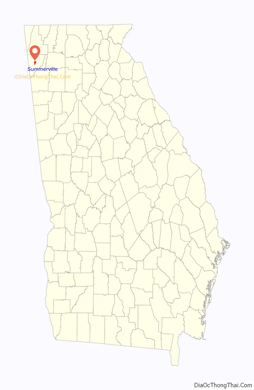
| State: | Georgia |
| County: | Chattooga County |
| Elevation: | 650 ft (198 m) |
| Total Area: | 4.01 sq mi (10.40 km²) |
| Land Area: | 4.01 sq mi (10.40 km²) |
| Water Area: | 0.00 sq mi (0.00 km²) |
| Total Population: | 4,435 |
| Population Density: | 1,104.88/sq mi (426.64/km²) |
| ZIP code: | 30747 |
| Area code: | 706/762 |
| FIPS code: | 1374376 |
| GNISfeature ID: | 0333158 |
| Website: | www.summervillega.org |
Online Interactive Map
Click on ![]() to view map in "full screen" mode.
to view map in "full screen" mode.
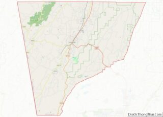
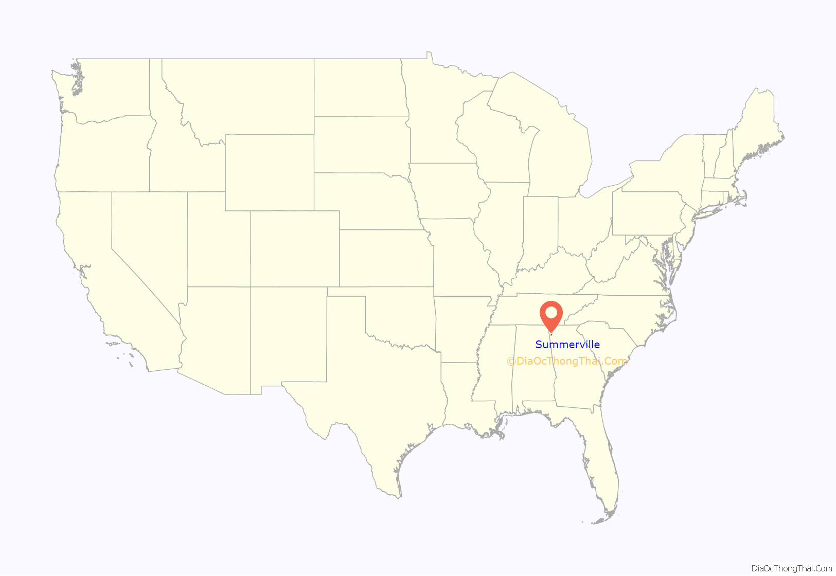
Summerville location map. Where is Summerville city?
History
Summerville was founded in 1838 as the seat of the newly formed Chattooga County. It was incorporated as a town in 1839 and as a city in 1909. Summerville was named from the fact it was a popular summer resort. The city thrived in the late 1880s with the construction of the Chattanooga, Rome and Columbus Railroad (later part of the Central of Georgia system).
The Chattooga County Courthouse, listed on the National Register of Historic Places, was completed in 1909. The Summerville Depot, completed by the Central of Georgia in 1918, is also listed on the National Register, and is home to several annual festivals.
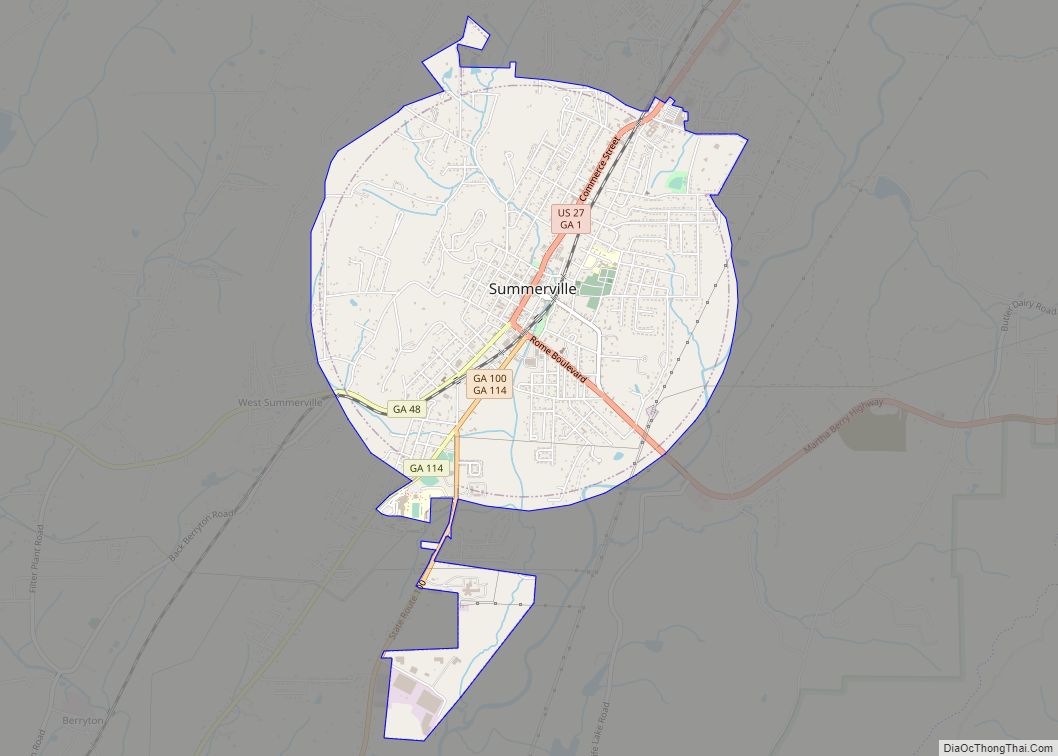
Summerville Road Map
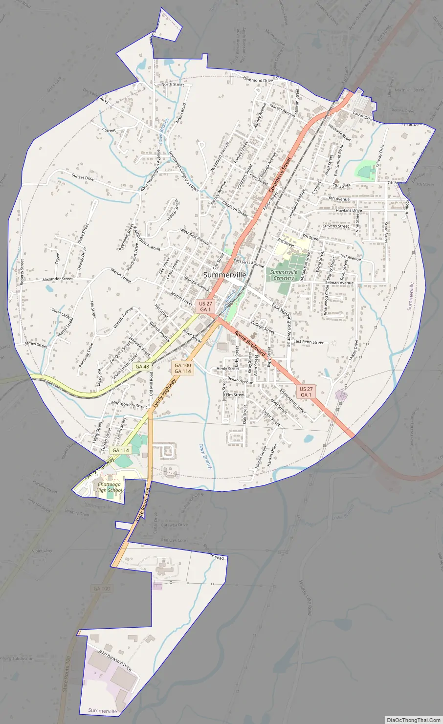
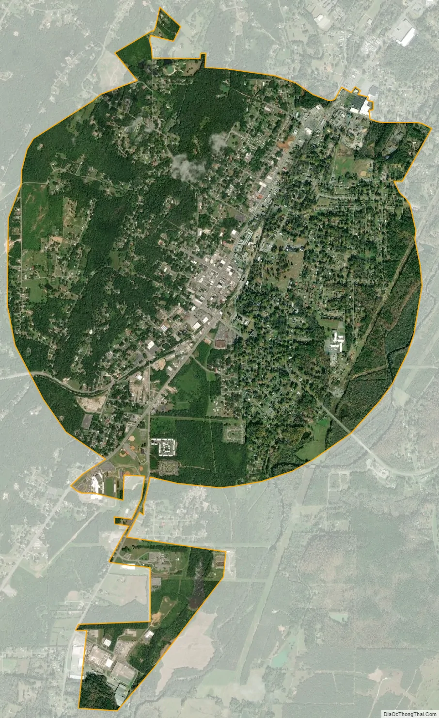
Summerville city Satellite Map
Geography
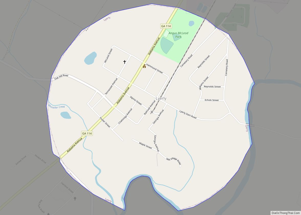
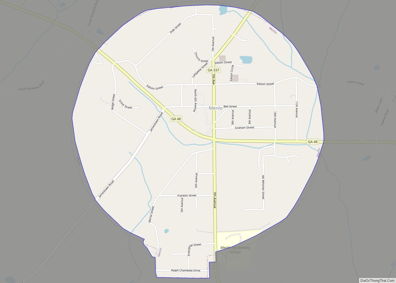
According to the United States Census Bureau, the city has a total area of 4.0 square miles (10 km), all of it land. The city lies along the Chattooga River at the western base of the Taylor Ridge. U.S. Route 27 connects Summerville with Chattanooga, Tennessee, to the north, and Rome to the southeast. Georgia State Route 114 connects the city with Lyerly to the south, and Georgia State Route 48 connects the city with Menlo near the Alabama state line to the west.
Climate
See also
Map of Georgia State and its subdivision:- Appling
- Atkinson
- Bacon
- Baker
- Baldwin
- Banks
- Barrow
- Bartow
- Ben Hill
- Berrien
- Bibb
- Bleckley
- Brantley
- Brooks
- Bryan
- Bulloch
- Burke
- Butts
- Calhoun
- Camden
- Candler
- Carroll
- Catoosa
- Charlton
- Chatham
- Chattahoochee
- Chattooga
- Cherokee
- Clarke
- Clay
- Clayton
- Clinch
- Cobb
- Coffee
- Colquitt
- Columbia
- Cook
- Coweta
- Crawford
- Crisp
- Dade
- Dawson
- Decatur
- DeKalb
- Dodge
- Dooly
- Dougherty
- Douglas
- Early
- Echols
- Effingham
- Elbert
- Emanuel
- Evans
- Fannin
- Fayette
- Floyd
- Forsyth
- Franklin
- Fulton
- Gilmer
- Glascock
- Glynn
- Gordon
- Grady
- Greene
- Gwinnett
- Habersham
- Hall
- Hancock
- Haralson
- Harris
- Hart
- Heard
- Henry
- Houston
- Irwin
- Jackson
- Jasper
- Jeff Davis
- Jefferson
- Jenkins
- Johnson
- Jones
- Lamar
- Lanier
- Laurens
- Lee
- Liberty
- Lincoln
- Long
- Lowndes
- Lumpkin
- Macon
- Madison
- Marion
- McDuffie
- McIntosh
- Meriwether
- Miller
- Mitchell
- Monroe
- Montgomery
- Morgan
- Murray
- Muscogee
- Newton
- Oconee
- Oglethorpe
- Paulding
- Peach
- Pickens
- Pierce
- Pike
- Polk
- Pulaski
- Putnam
- Quitman
- Rabun
- Randolph
- Richmond
- Rockdale
- Schley
- Screven
- Seminole
- Spalding
- Stephens
- Stewart
- Sumter
- Talbot
- Taliaferro
- Tattnall
- Taylor
- Telfair
- Terrell
- Thomas
- Tift
- Toombs
- Towns
- Treutlen
- Troup
- Turner
- Twiggs
- Union
- Upson
- Walker
- Walton
- Ware
- Warren
- Washington
- Wayne
- Webster
- Wheeler
- White
- Whitfield
- Wilcox
- Wilkes
- Wilkinson
- Worth
- Alabama
- Alaska
- Arizona
- Arkansas
- California
- Colorado
- Connecticut
- Delaware
- District of Columbia
- Florida
- Georgia
- Hawaii
- Idaho
- Illinois
- Indiana
- Iowa
- Kansas
- Kentucky
- Louisiana
- Maine
- Maryland
- Massachusetts
- Michigan
- Minnesota
- Mississippi
- Missouri
- Montana
- Nebraska
- Nevada
- New Hampshire
- New Jersey
- New Mexico
- New York
- North Carolina
- North Dakota
- Ohio
- Oklahoma
- Oregon
- Pennsylvania
- Rhode Island
- South Carolina
- South Dakota
- Tennessee
- Texas
- Utah
- Vermont
- Virginia
- Washington
- West Virginia
- Wisconsin
- Wyoming