Sylvester is the county seat of Worth County, Georgia, United States. The population was 6,188 at the 2010 and at 5,865 (2019) census. The city is the county seat and business center of Worth County and is claimed to be the Peanut Capital of the World due to its peanut production.
| Name: | Sylvester city |
|---|---|
| LSAD Code: | 25 |
| LSAD Description: | city (suffix) |
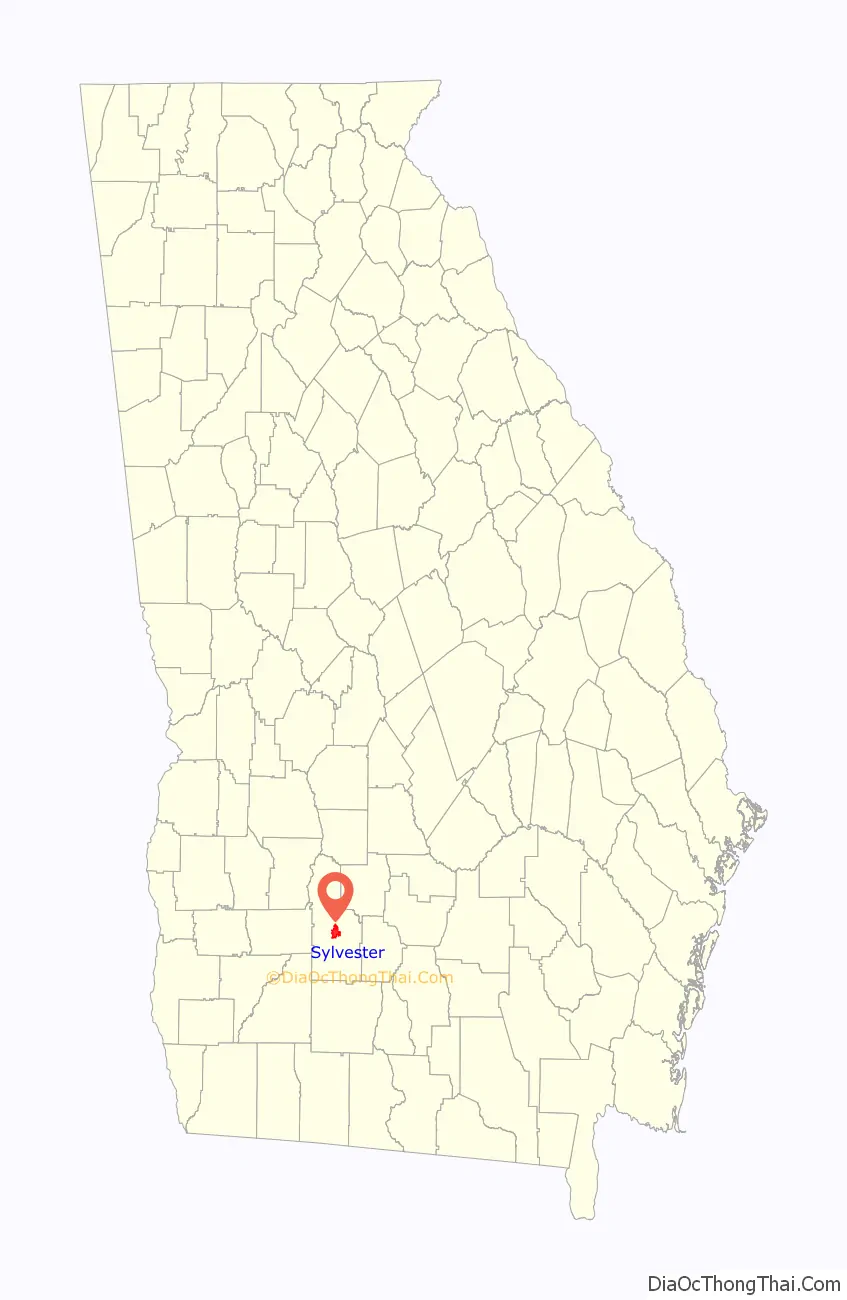
| State: | Georgia |
| County: | Worth County |
| Elevation: | 387 ft (118 m) |
| Total Area: | 6.60 sq mi (17.09 km²) |
| Land Area: | 6.56 sq mi (16.99 km²) |
| Water Area: | 0.04 sq mi (0.10 km²) |
| Total Population: | 5,644 |
| Population Density: | 860.37/sq mi (332.21/km²) |
| ZIP code: | 31791 |
| Area code: | 229 |
| FIPS code: | 1375188 |
| GNISfeature ID: | 0356576 |
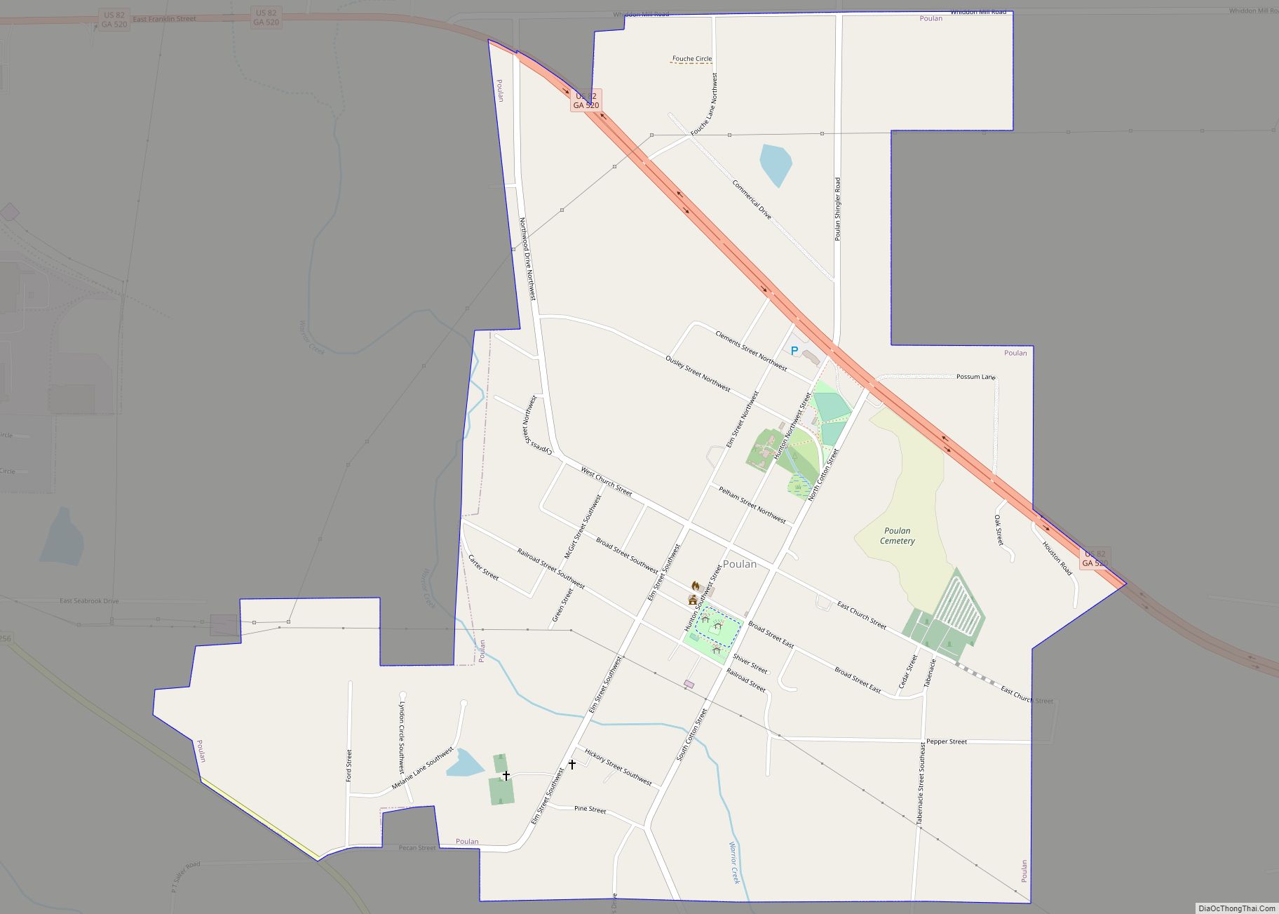
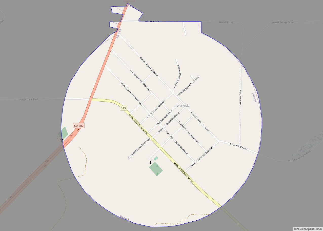
Online Interactive Map
Click on ![]() to view map in "full screen" mode.
to view map in "full screen" mode.
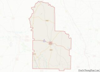
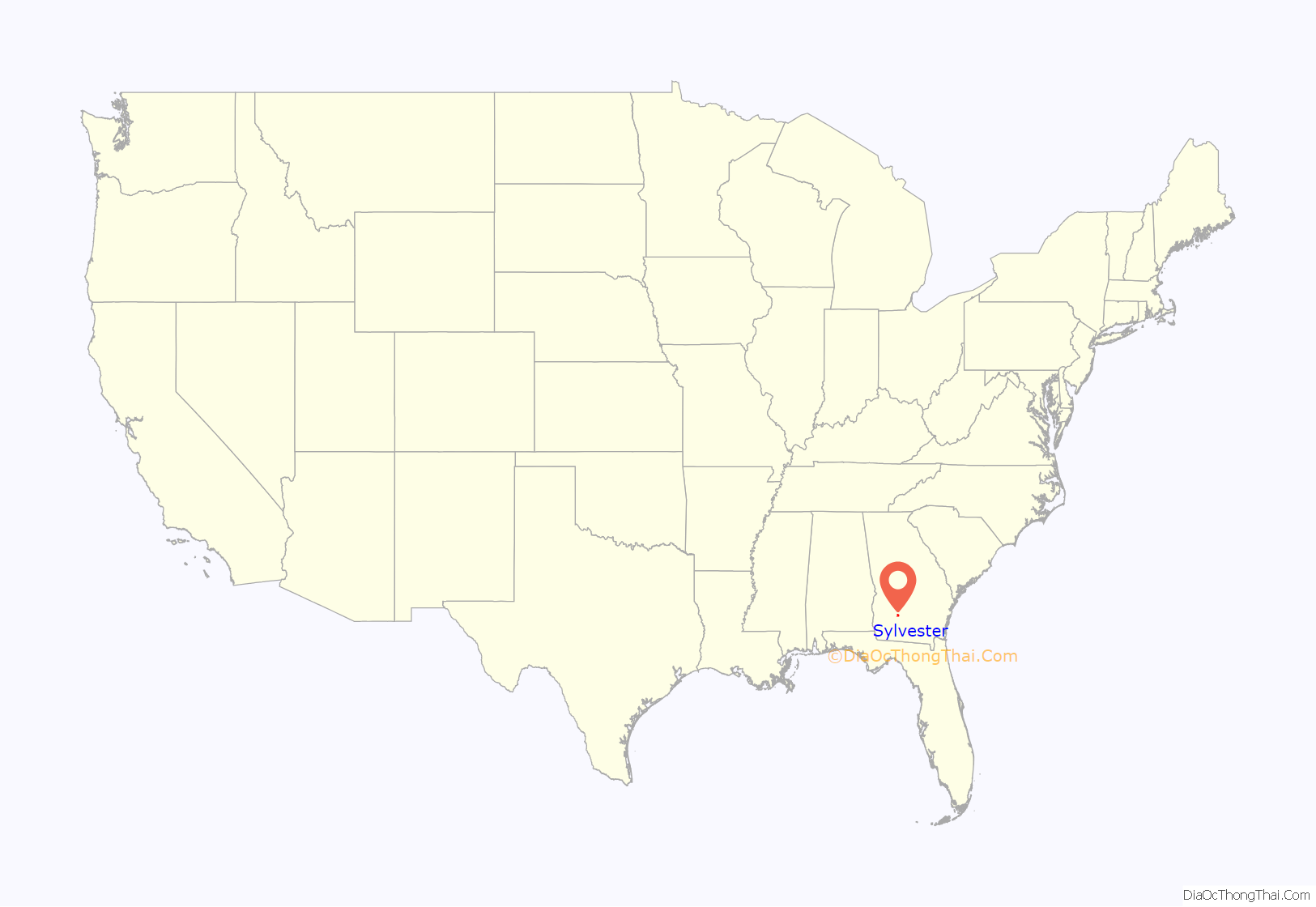
Sylvester location map. Where is Sylvester city?
History
Sylvester was platted in 1893. The Georgia General Assembly incorporated Sylvester as a town in 1898.
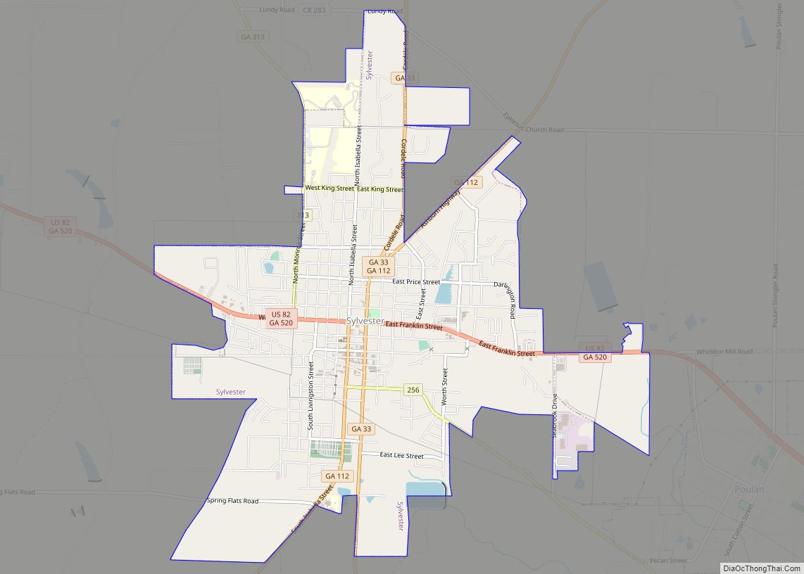
Sylvester Road Map
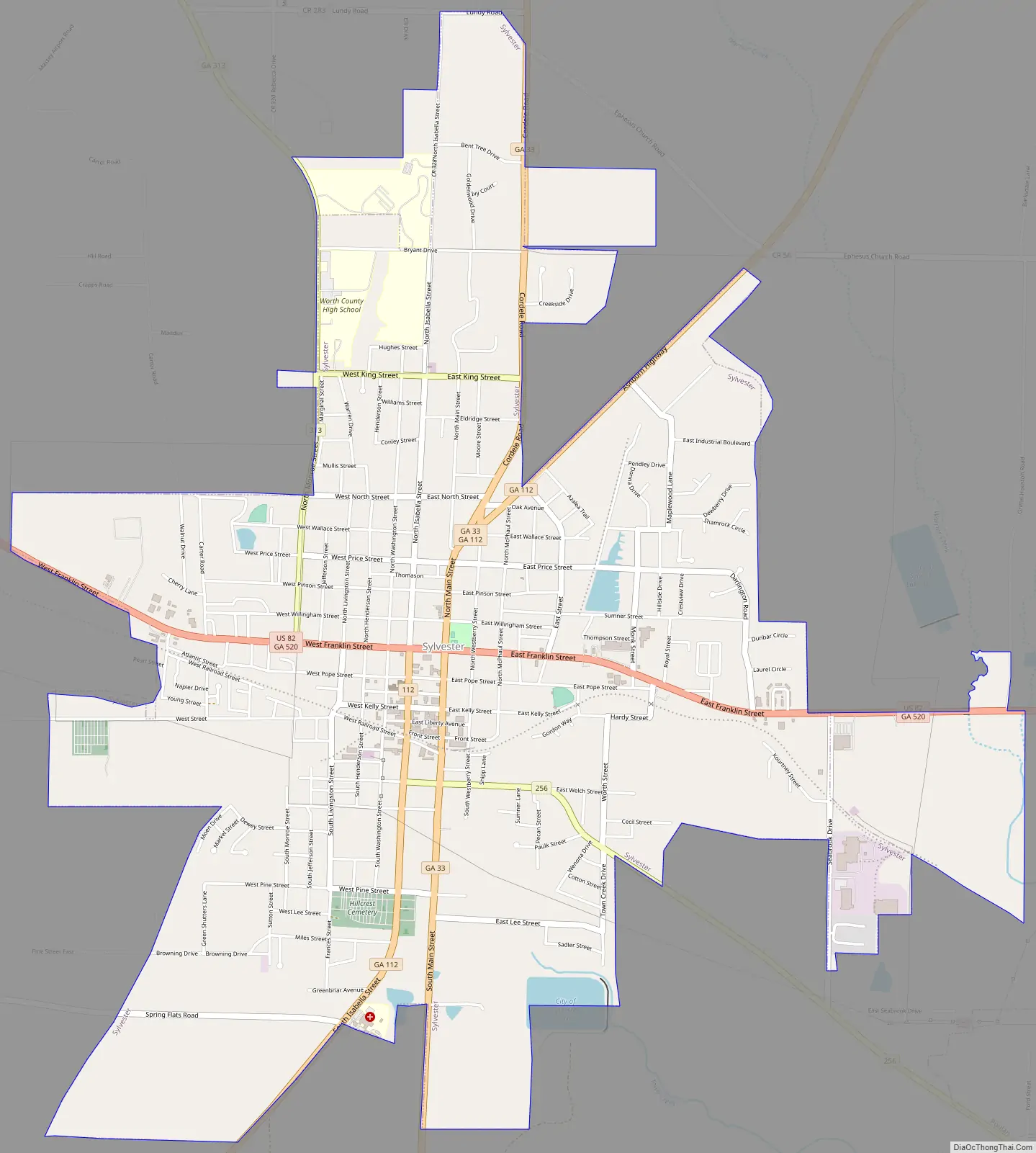
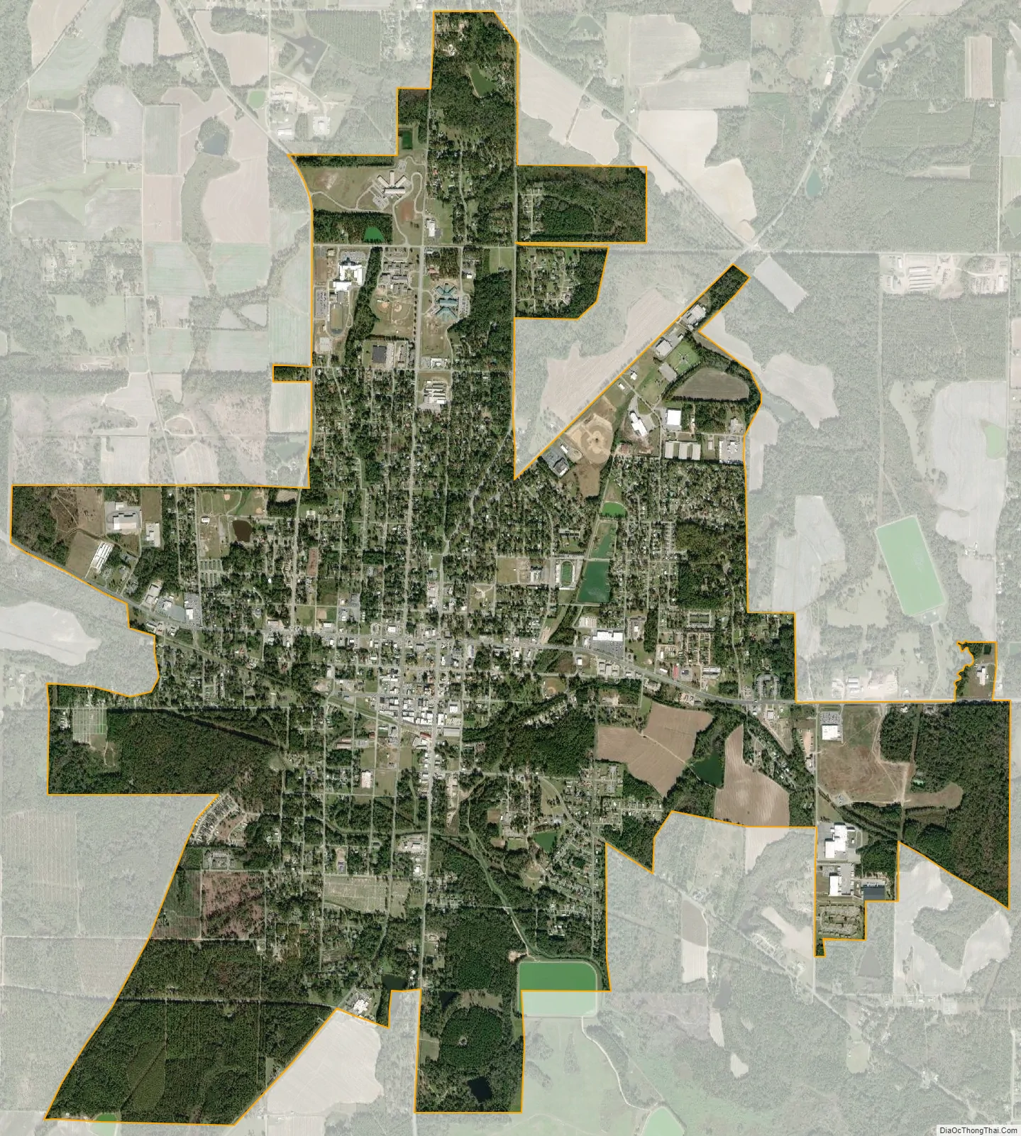
Sylvester city Satellite Map
Geography
Sylvester is located at 31°31′53″N 83°50′10″W / 31.53139°N 83.83611°W / 31.53139; -83.83611 (31.531425, -83.836233).
According to the United States Census Bureau, the city has a total area of 5.7 square miles (15 km), of which 5.7 square miles (15 km) is land and 0.04 square miles (0.10 km) (0.52%) is water.
Sylvester is located on U.S. Highway 82 at the junction of Georgia State Route 33. Georgia State Route 256 enters into southeast Sylvester, where it is co-designated Martin Luther King Jr. Drive.
See also
Map of Georgia State and its subdivision:- Appling
- Atkinson
- Bacon
- Baker
- Baldwin
- Banks
- Barrow
- Bartow
- Ben Hill
- Berrien
- Bibb
- Bleckley
- Brantley
- Brooks
- Bryan
- Bulloch
- Burke
- Butts
- Calhoun
- Camden
- Candler
- Carroll
- Catoosa
- Charlton
- Chatham
- Chattahoochee
- Chattooga
- Cherokee
- Clarke
- Clay
- Clayton
- Clinch
- Cobb
- Coffee
- Colquitt
- Columbia
- Cook
- Coweta
- Crawford
- Crisp
- Dade
- Dawson
- Decatur
- DeKalb
- Dodge
- Dooly
- Dougherty
- Douglas
- Early
- Echols
- Effingham
- Elbert
- Emanuel
- Evans
- Fannin
- Fayette
- Floyd
- Forsyth
- Franklin
- Fulton
- Gilmer
- Glascock
- Glynn
- Gordon
- Grady
- Greene
- Gwinnett
- Habersham
- Hall
- Hancock
- Haralson
- Harris
- Hart
- Heard
- Henry
- Houston
- Irwin
- Jackson
- Jasper
- Jeff Davis
- Jefferson
- Jenkins
- Johnson
- Jones
- Lamar
- Lanier
- Laurens
- Lee
- Liberty
- Lincoln
- Long
- Lowndes
- Lumpkin
- Macon
- Madison
- Marion
- McDuffie
- McIntosh
- Meriwether
- Miller
- Mitchell
- Monroe
- Montgomery
- Morgan
- Murray
- Muscogee
- Newton
- Oconee
- Oglethorpe
- Paulding
- Peach
- Pickens
- Pierce
- Pike
- Polk
- Pulaski
- Putnam
- Quitman
- Rabun
- Randolph
- Richmond
- Rockdale
- Schley
- Screven
- Seminole
- Spalding
- Stephens
- Stewart
- Sumter
- Talbot
- Taliaferro
- Tattnall
- Taylor
- Telfair
- Terrell
- Thomas
- Tift
- Toombs
- Towns
- Treutlen
- Troup
- Turner
- Twiggs
- Union
- Upson
- Walker
- Walton
- Ware
- Warren
- Washington
- Wayne
- Webster
- Wheeler
- White
- Whitfield
- Wilcox
- Wilkes
- Wilkinson
- Worth
- Alabama
- Alaska
- Arizona
- Arkansas
- California
- Colorado
- Connecticut
- Delaware
- District of Columbia
- Florida
- Georgia
- Hawaii
- Idaho
- Illinois
- Indiana
- Iowa
- Kansas
- Kentucky
- Louisiana
- Maine
- Maryland
- Massachusetts
- Michigan
- Minnesota
- Mississippi
- Missouri
- Montana
- Nebraska
- Nevada
- New Hampshire
- New Jersey
- New Mexico
- New York
- North Carolina
- North Dakota
- Ohio
- Oklahoma
- Oregon
- Pennsylvania
- Rhode Island
- South Carolina
- South Dakota
- Tennessee
- Texas
- Utah
- Vermont
- Virginia
- Washington
- West Virginia
- Wisconsin
- Wyoming