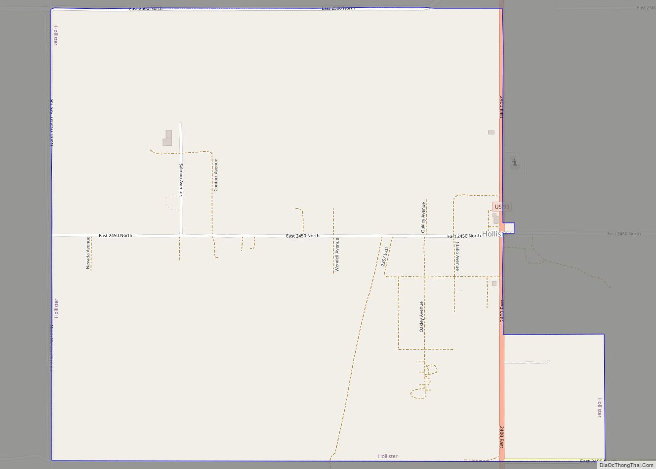
Hollister is a city in Twin Falls County, Idaho, United States. The population was 272 at the 2010 census. It is part of the Twin Falls, Idaho Micropolitan Statistical Area. Hollister city overview: Name: Hollister city LSAD Code: 25 LSAD Description: city (suffix) State: Idaho County: Twin Falls County Elevation: 4,524 ft (1,379 m) Total Area: 1.07 sq mi ... Read more
Idaho Cities and Places
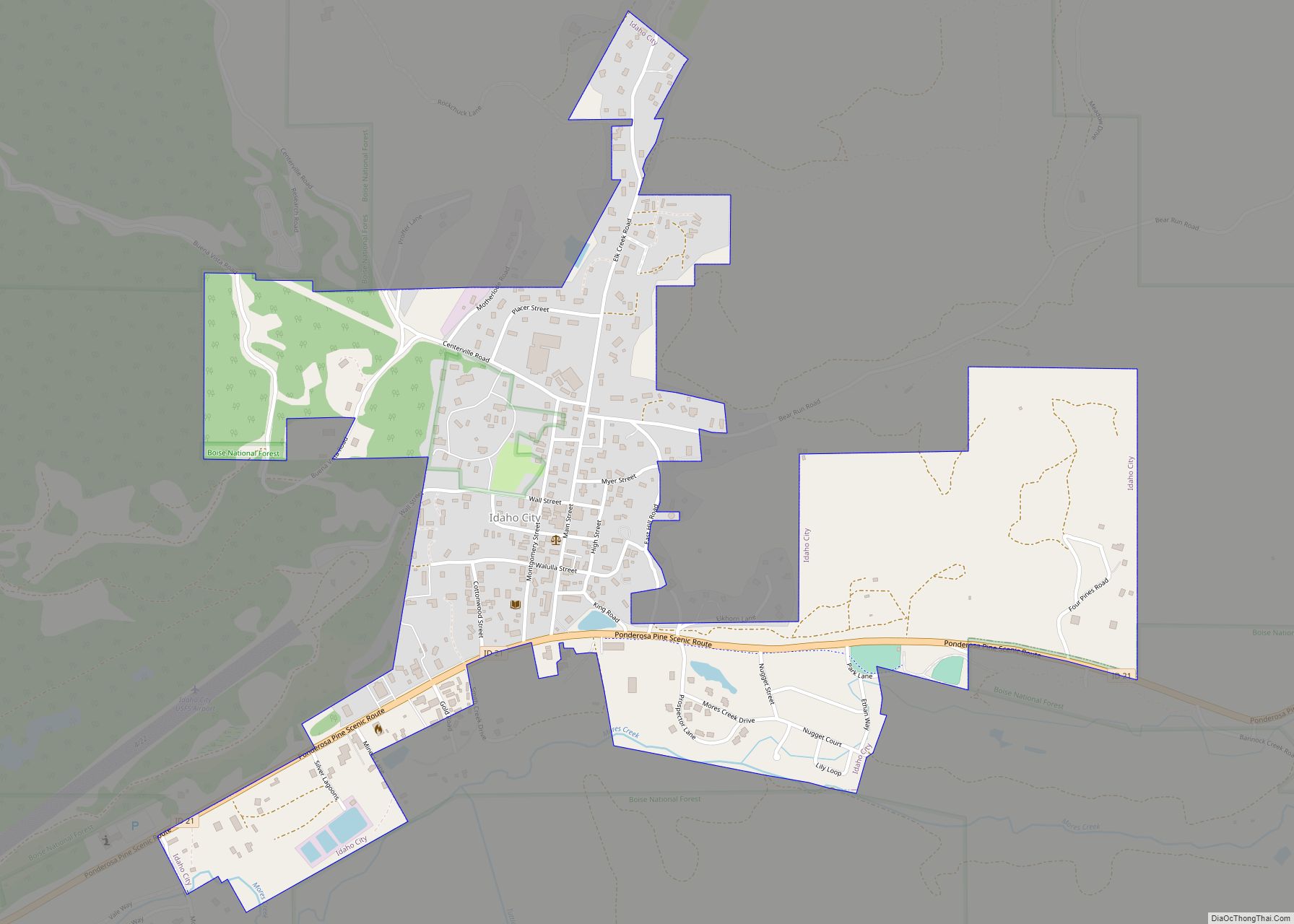
Idaho City is a city in and the county seat of Boise County, Idaho, United States, located about 36 miles (58 km) northeast of Boise. The population was 485 at the 2010 census, up from 458 in 2000. Idaho City is part of the Boise City−Nampa, Idaho Metropolitan Statistical Area. Idaho City city overview: Name: Idaho ... Read more
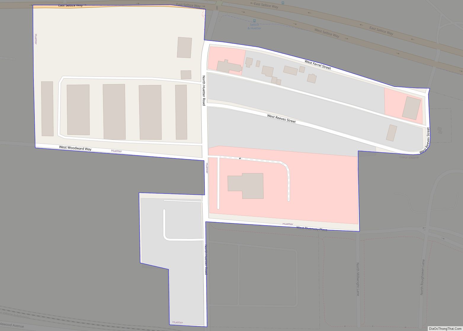
Huetter is a city in Kootenai County, Idaho, United States. The population was 100 at the 2010 census. Huetter city overview: Name: Huetter city LSAD Code: 25 LSAD Description: city (suffix) State: Idaho County: Kootenai County Incorporated: 1905 Elevation: 2,142 ft (653 m) Total Area: 0.04 sq mi (0.12 km²) Land Area: 0.04 sq mi (0.12 km²) Water Area: 0.00 sq mi (0.00 km²) Total Population: ... Read more
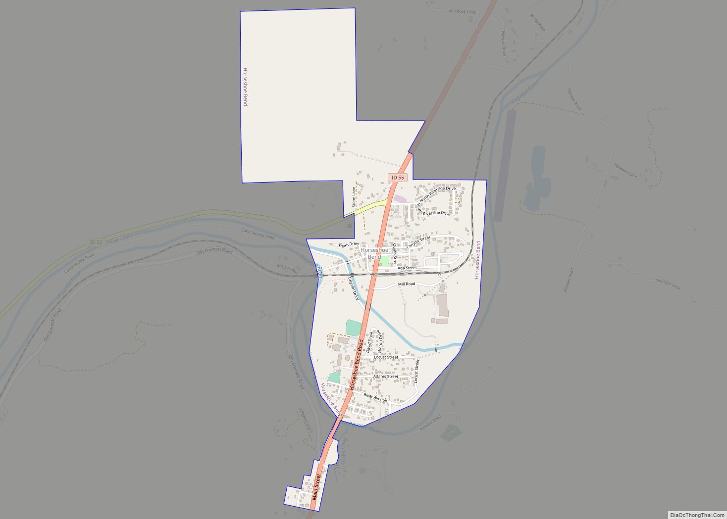
Horseshoe Bend is the largest city in rural Boise County, in the southwestern part of the U.S. state of Idaho. Its population of 707 at the 2010 census was the largest in the county, though down from 770 in 2000. It is part of the Boise City–Nampa, Idaho Metropolitan Statistical Area. It is named for ... Read more
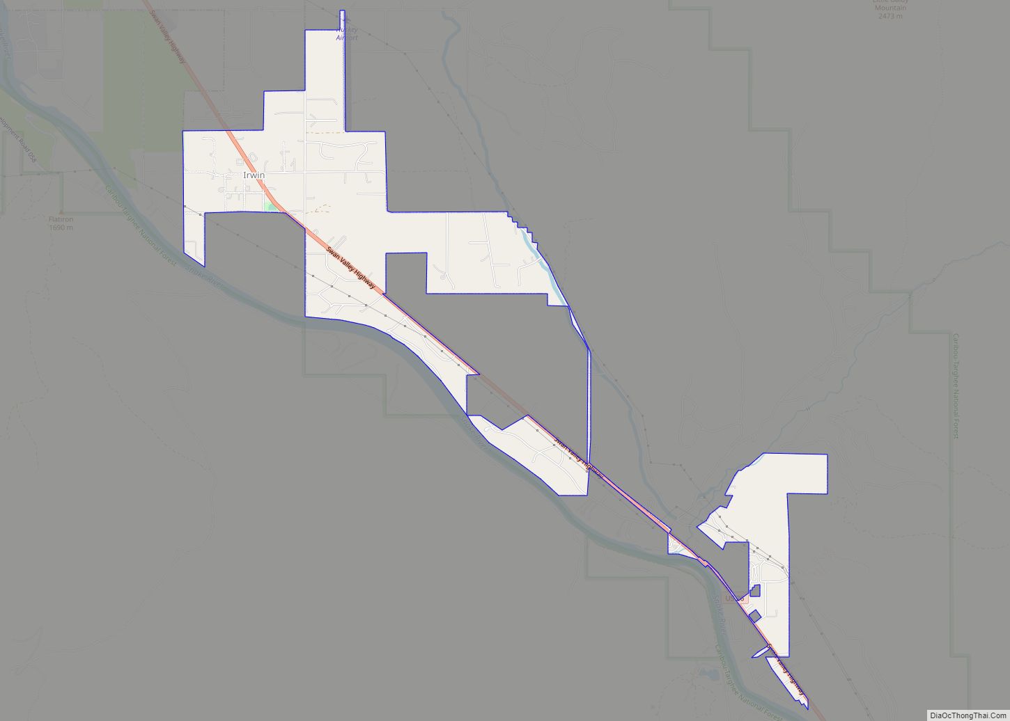
Irwin is a city in Bonneville County, Idaho, United States. It is part of the Idaho Falls, Idaho Metropolitan Statistical Area. The population was 219 at the 2010 census. Irwin city overview: Name: Irwin city LSAD Code: 25 LSAD Description: city (suffix) State: Idaho County: Bonneville County Elevation: 5,325 ft (1,623 m) Total Area: 2.47 sq mi (6.40 km²) Land ... Read more
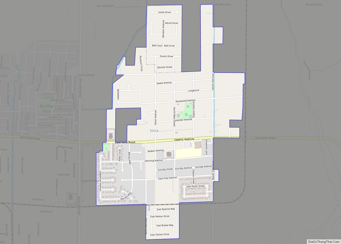
Iona is a city in Bonneville County, Idaho, United States. It is part of the Idaho Falls, Idaho Metropolitan Statistical Area. The population was 1,803 at the 2010 census. Iona city overview: Name: Iona city LSAD Code: 25 LSAD Description: city (suffix) State: Idaho County: Bonneville County Incorporated: April 10, 1905 Elevation: 4,783 ft (1,458 m) Total ... Read more
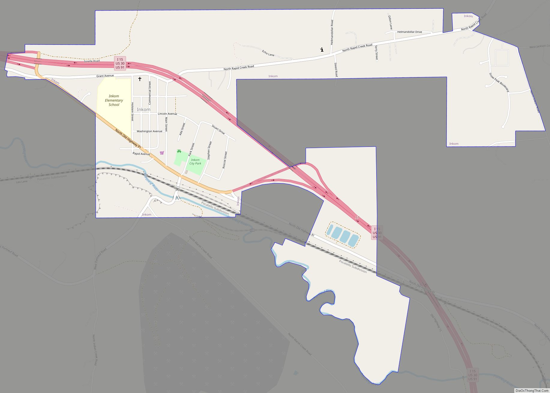
Inkom is a city in Bannock County, Idaho. It is part of the Pocatello, Idaho Metropolitan Statistical Area. The population was 854 at the time of the 2010 census. It is the home of the smallest airport in the world, Simko Field Airport 1ID9, with a runway length of 122 meters (400 feet). Inkom city ... Read more
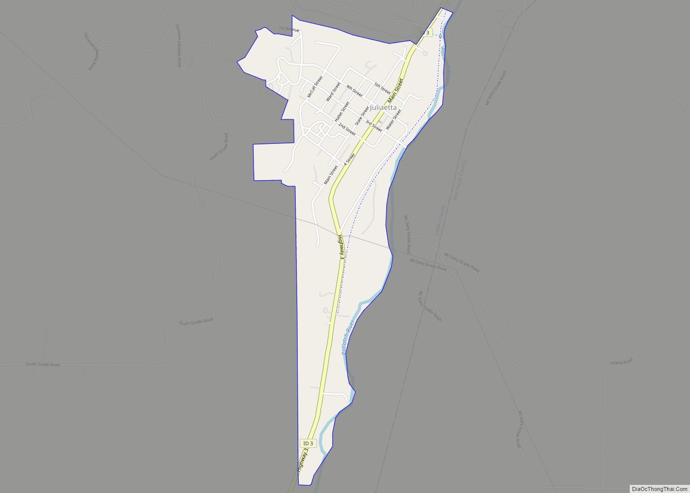
Juliaetta is a city in Latah County, Idaho, United States. The population was 624 at the 2020 census. Juliaetta city overview: Name: Juliaetta city LSAD Code: 25 LSAD Description: city (suffix) State: Idaho County: Latah County Elevation: 1,171 ft (357 m) Total Area: 0.71 sq mi (1.84 km²) Land Area: 0.70 sq mi (1.81 km²) Water Area: 0.01 sq mi (0.03 km²) Total Population: 579 Population ... Read more
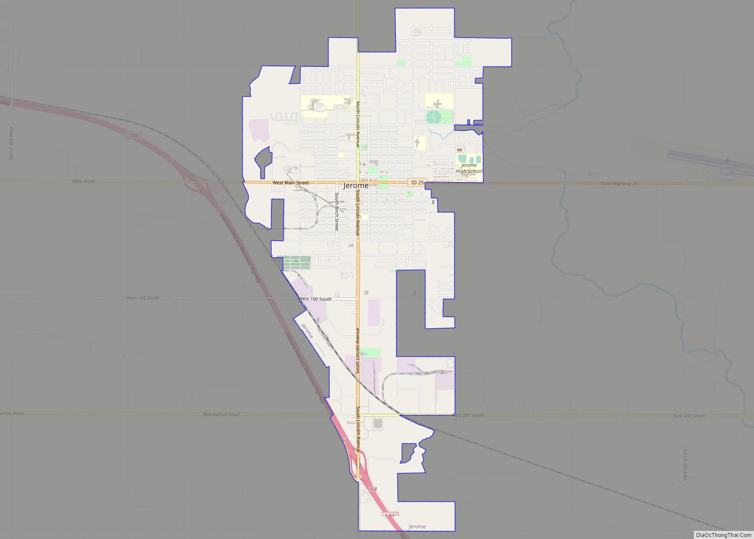
Jerome is a city in and county seat of Jerome County, Idaho, United States. The population was 10,890 at the 2010 census, up from 7,780 in 2000. The city is the county seat of Jerome County, and is part of the Twin Falls Micropolitan Statistical Area. It is the second largest city in Idaho’s Magic ... Read more
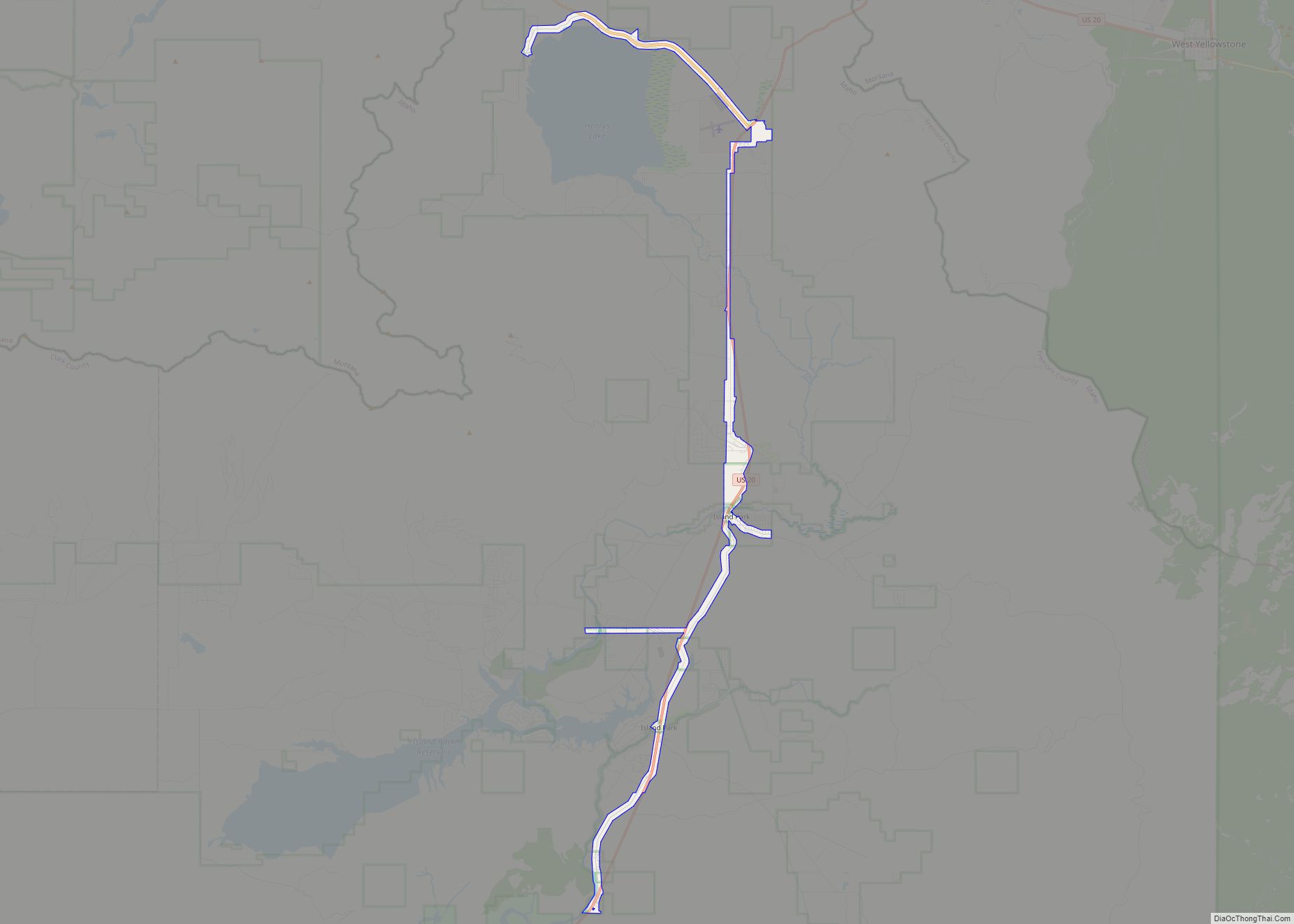
Island Park is a city in Fremont County, Idaho, United States. The city’s population was 286 at the 2010 census, up from 215 in 2000. The city was incorporated by owners of the many lodges and resorts along U.S. Route 20 in 1947, primarily to circumvent Idaho’s liquor laws that prohibited the sale of liquor ... Read more
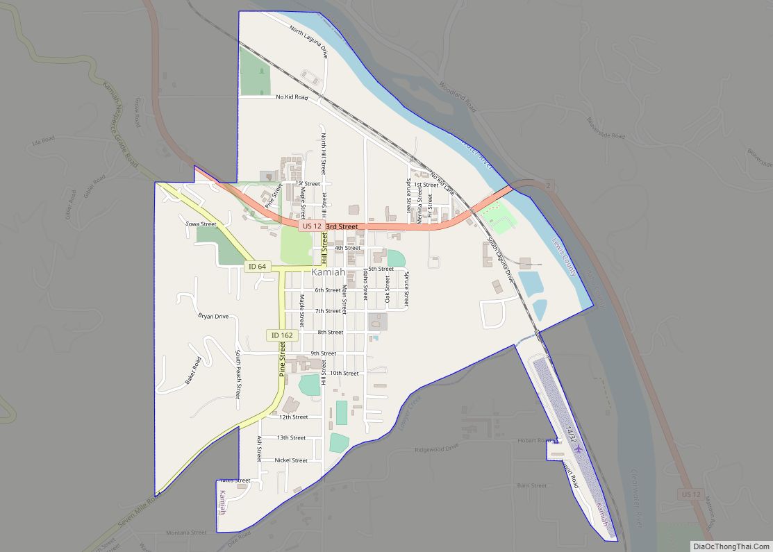
Kamiah (/ˈkæmi.aɪ/ (listen) KAM-ee-eye) is a city in Lewis and Idaho counties in the U.S. state of Idaho. The largest city in Lewis County, it extends only a small distance into Idaho County, south of Lawyer Creek. The population was 1,295 at the 2010 census, up from 1,160 in 2000. The city lies in the ... Read more
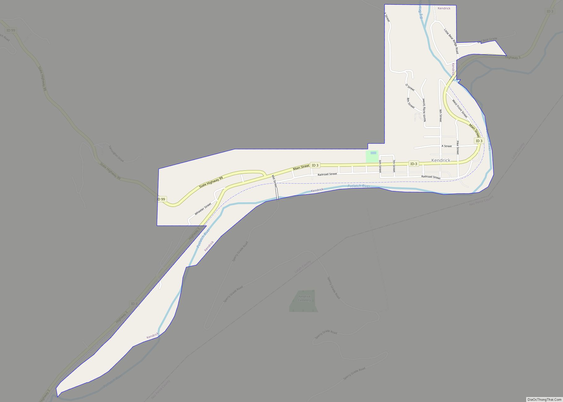
Kendrick is a city in Latah County, Idaho, United States. Its population was 303 at the 2010 census, a decrease from 369 in 2000. Kendrick city overview: Name: Kendrick city LSAD Code: 25 LSAD Description: city (suffix) State: Idaho County: Latah County Elevation: 1,240 ft (378 m) Total Area: 0.38 sq mi (0.98 km²) Land Area: 0.36 sq mi (0.93 km²) Water Area: ... Read more
